The Lechtal Directors Cut
Friends: Florian, UliLocation: Dremelspitze, Parseierspitze
Elevation gain: 0m = 0m
I made a small movie about the hike too:
Day begins in rain
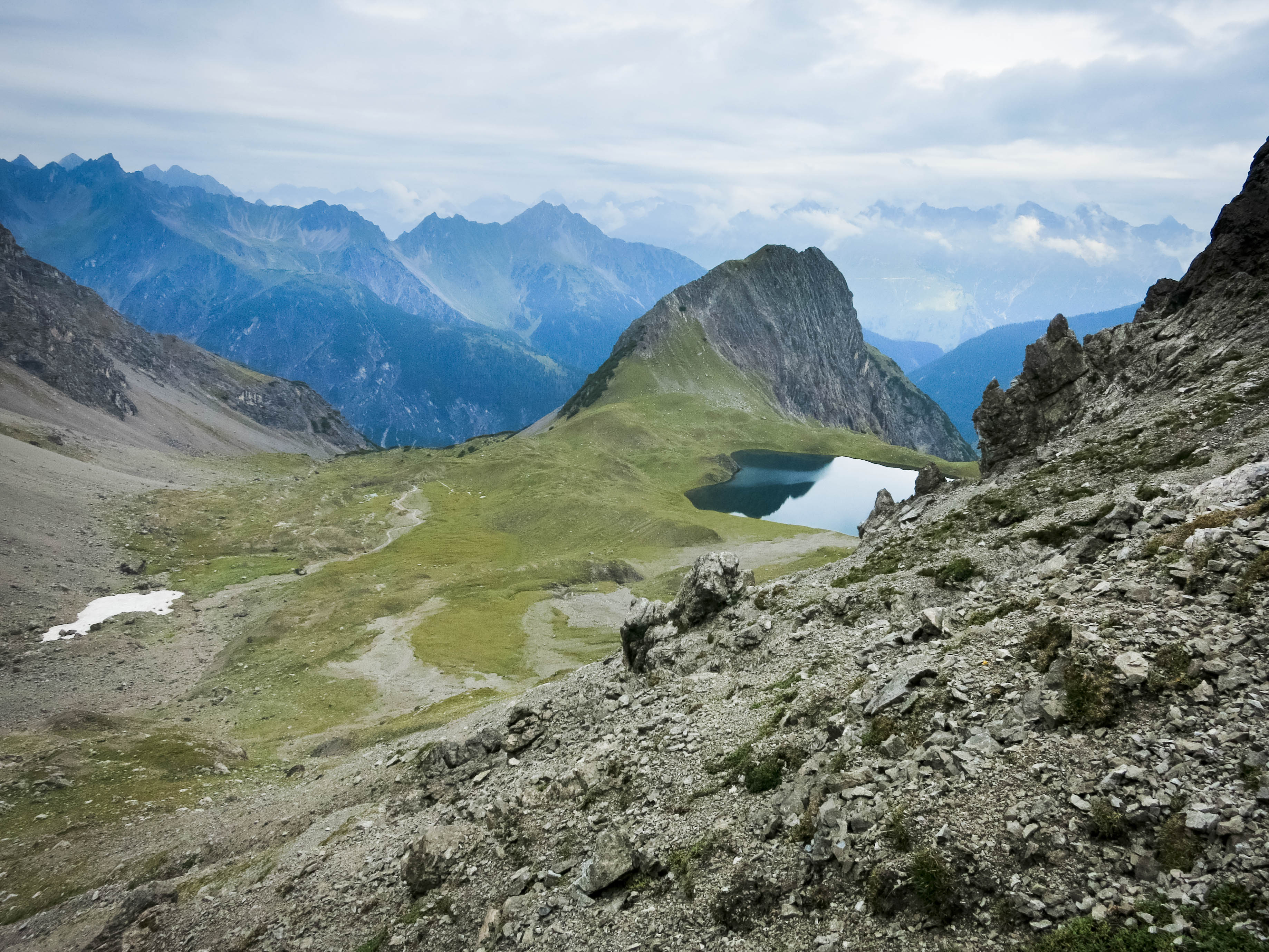
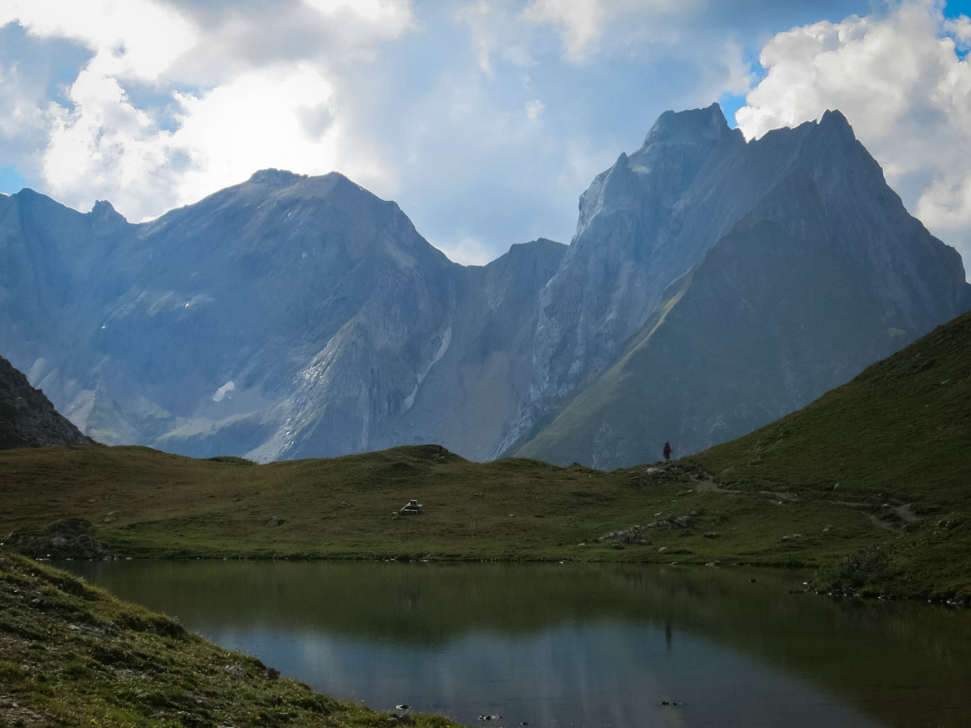
The Kogelsee
Flo near the Kogelsee
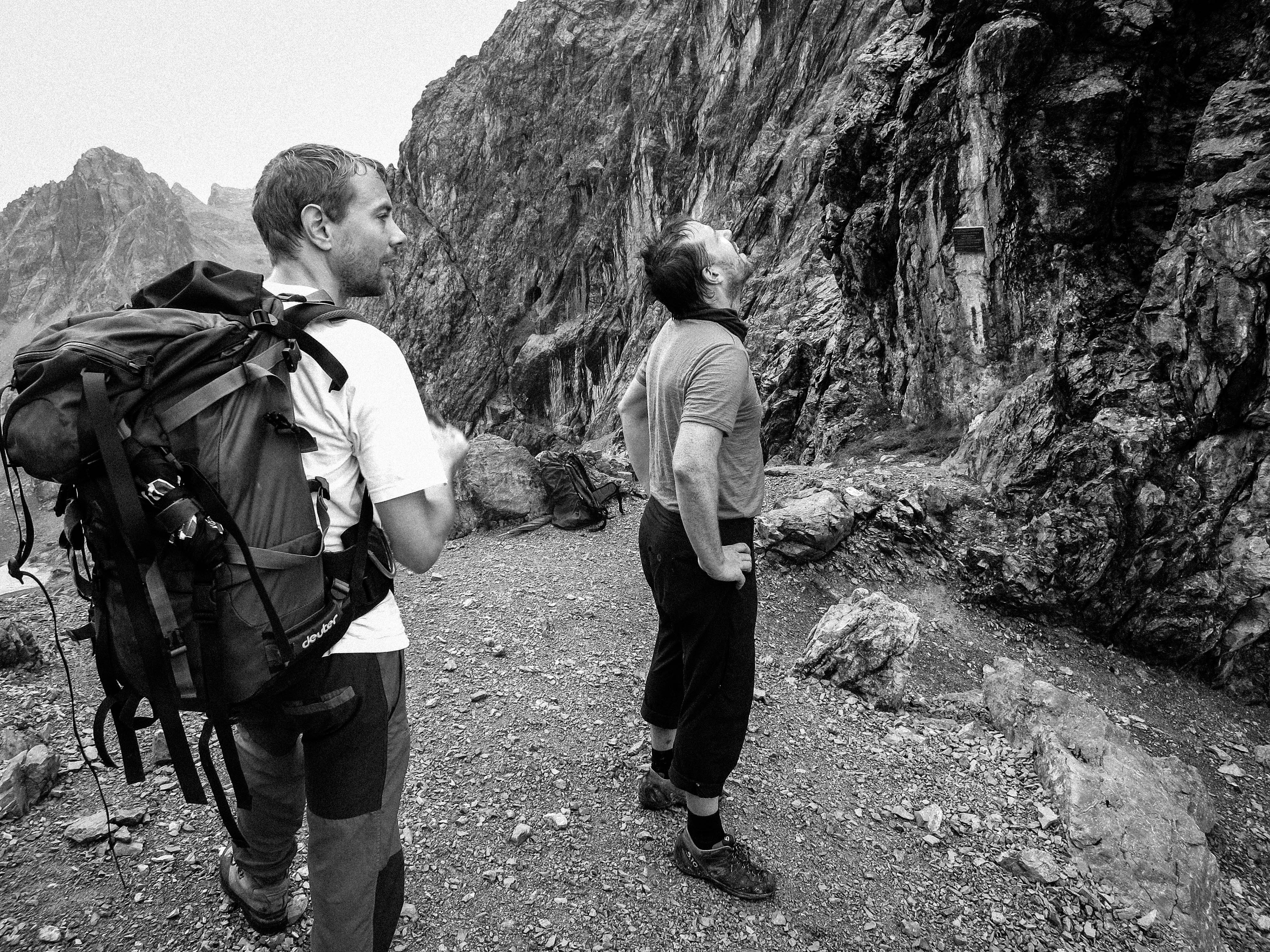
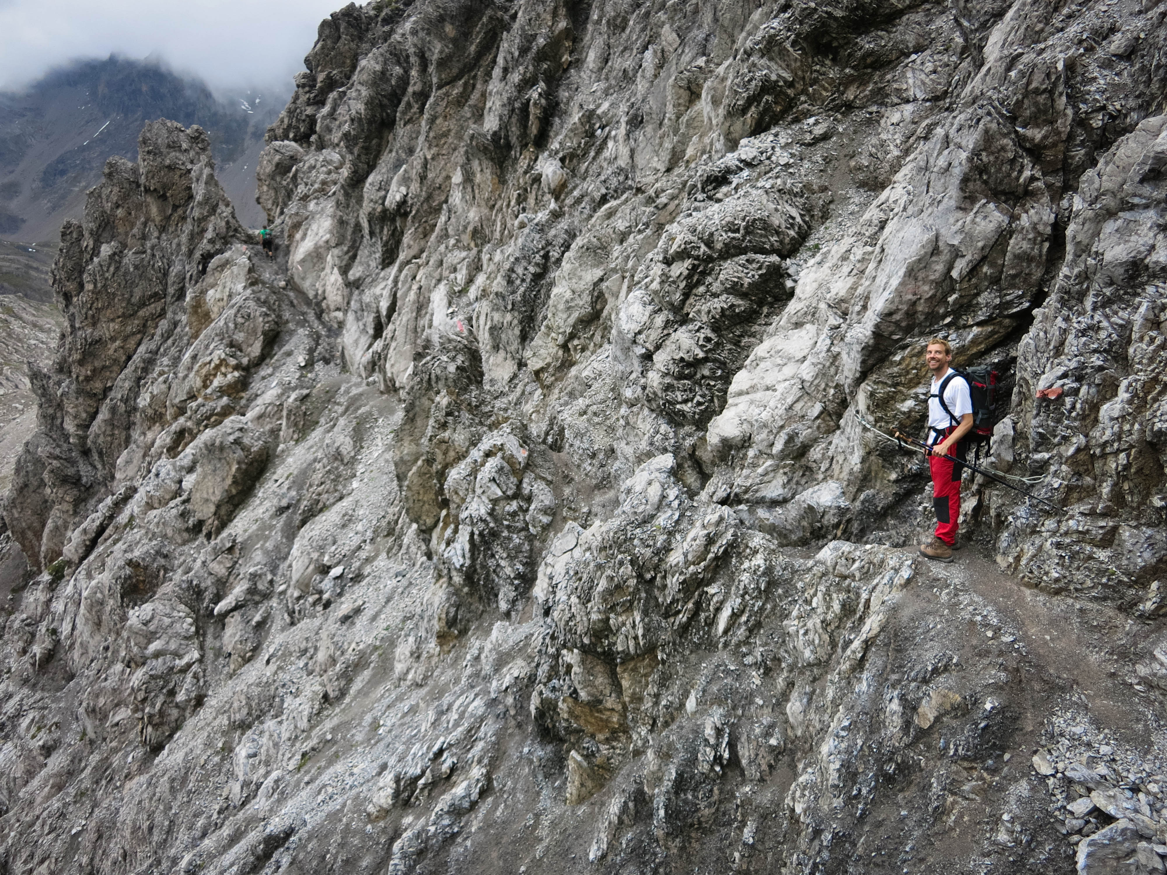
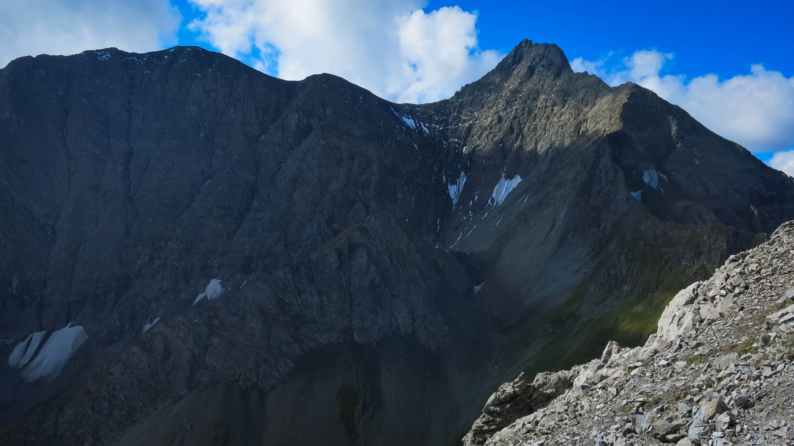
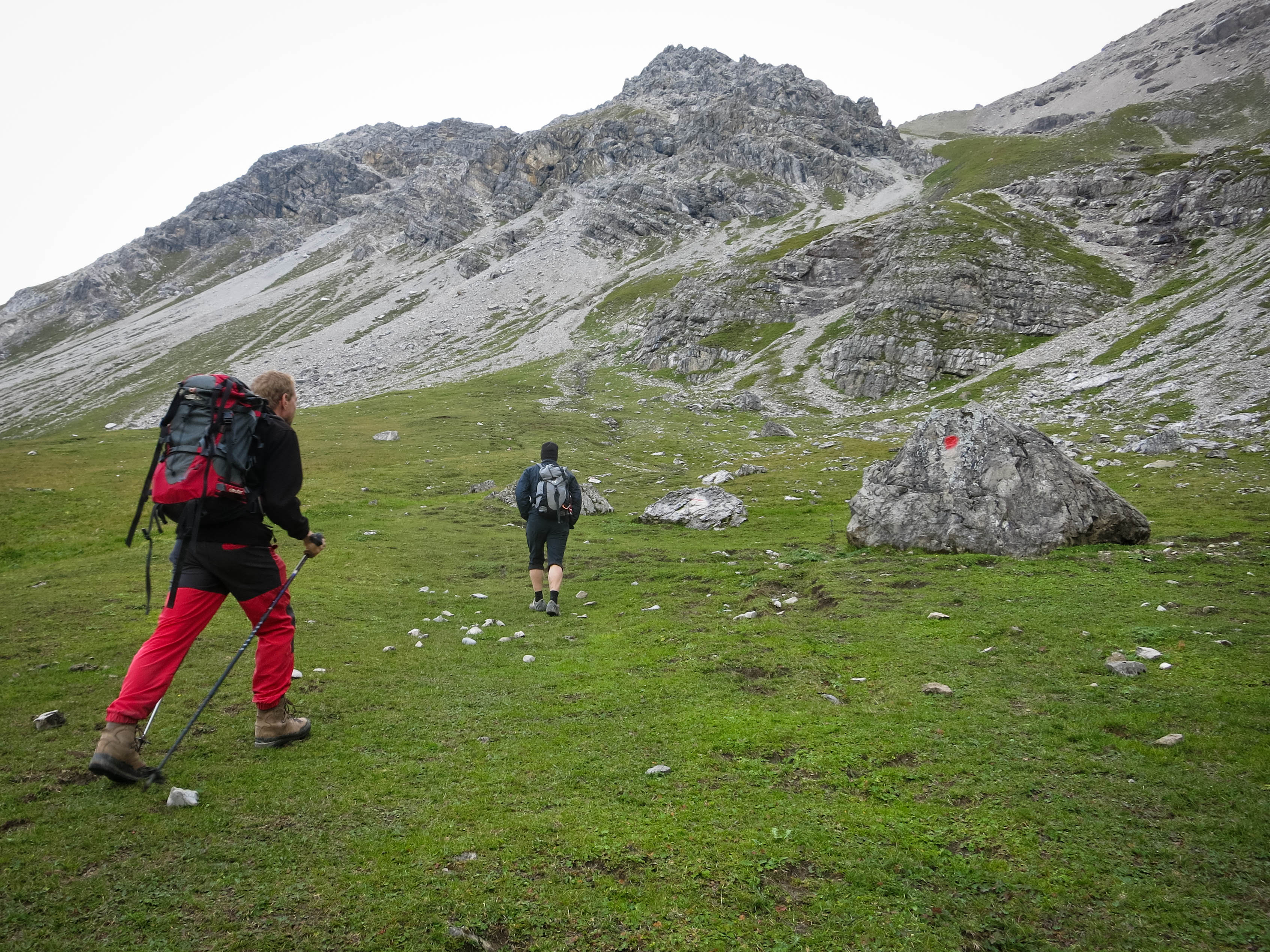
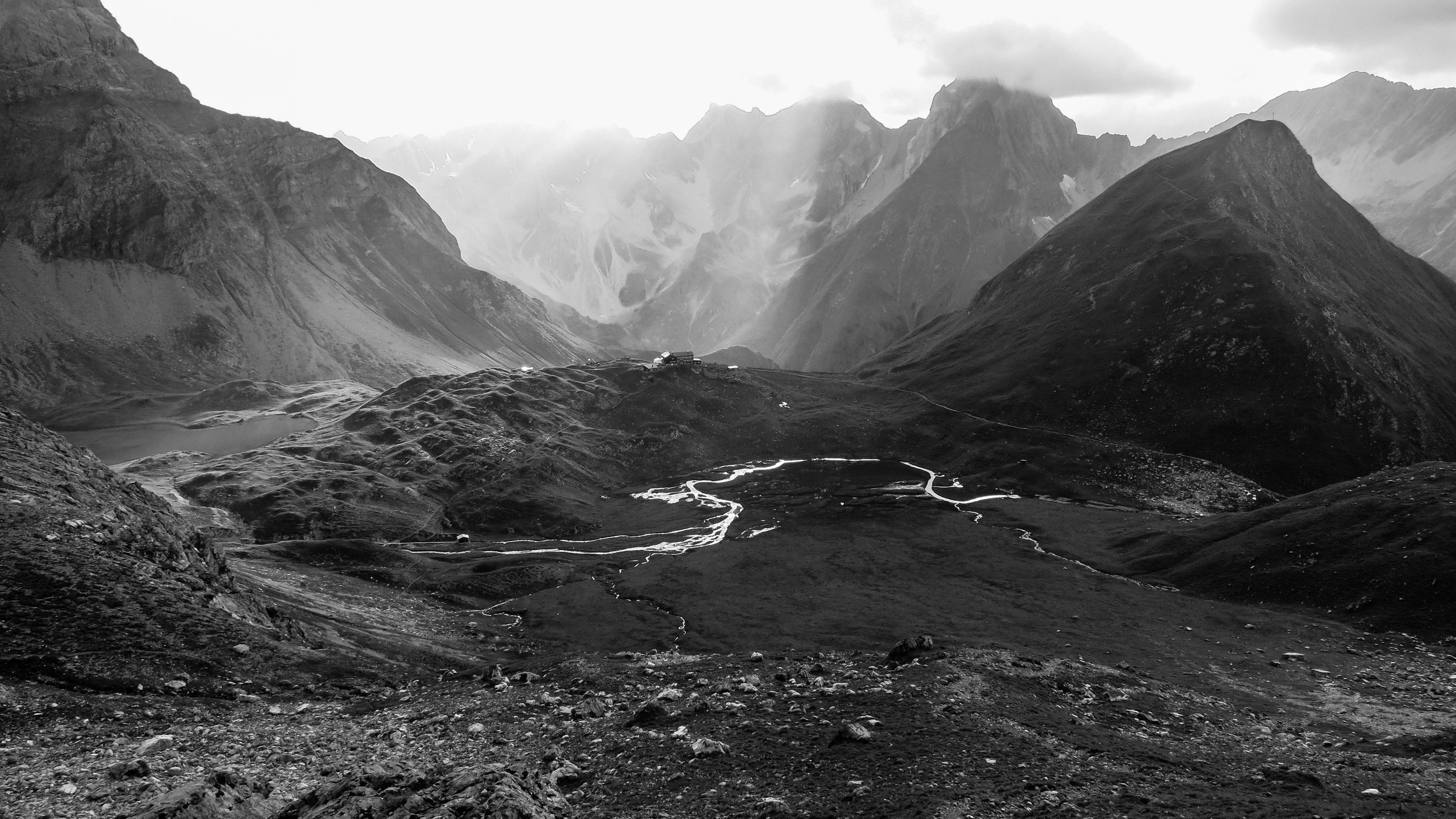
Studying the Kogelseescharte
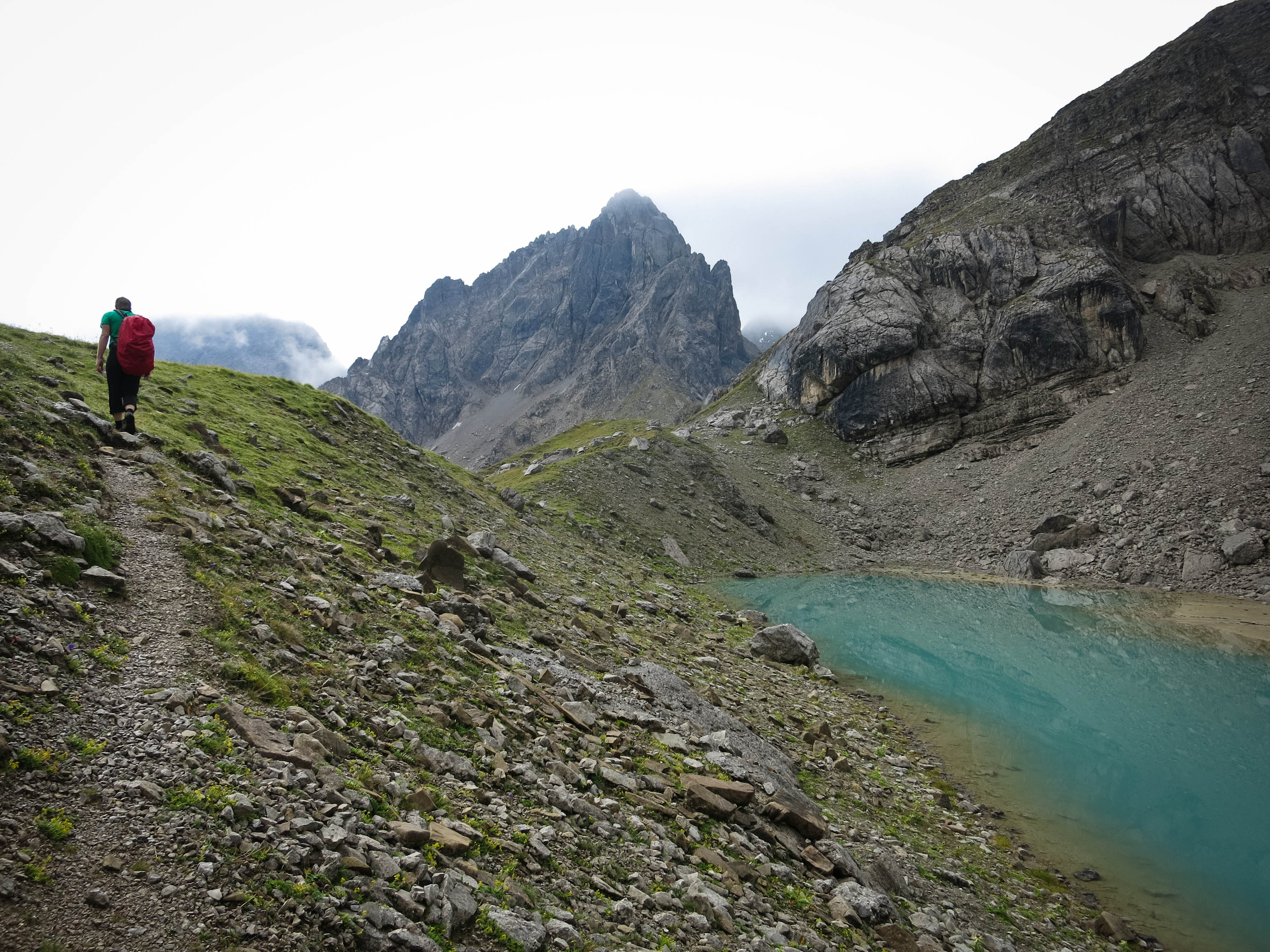
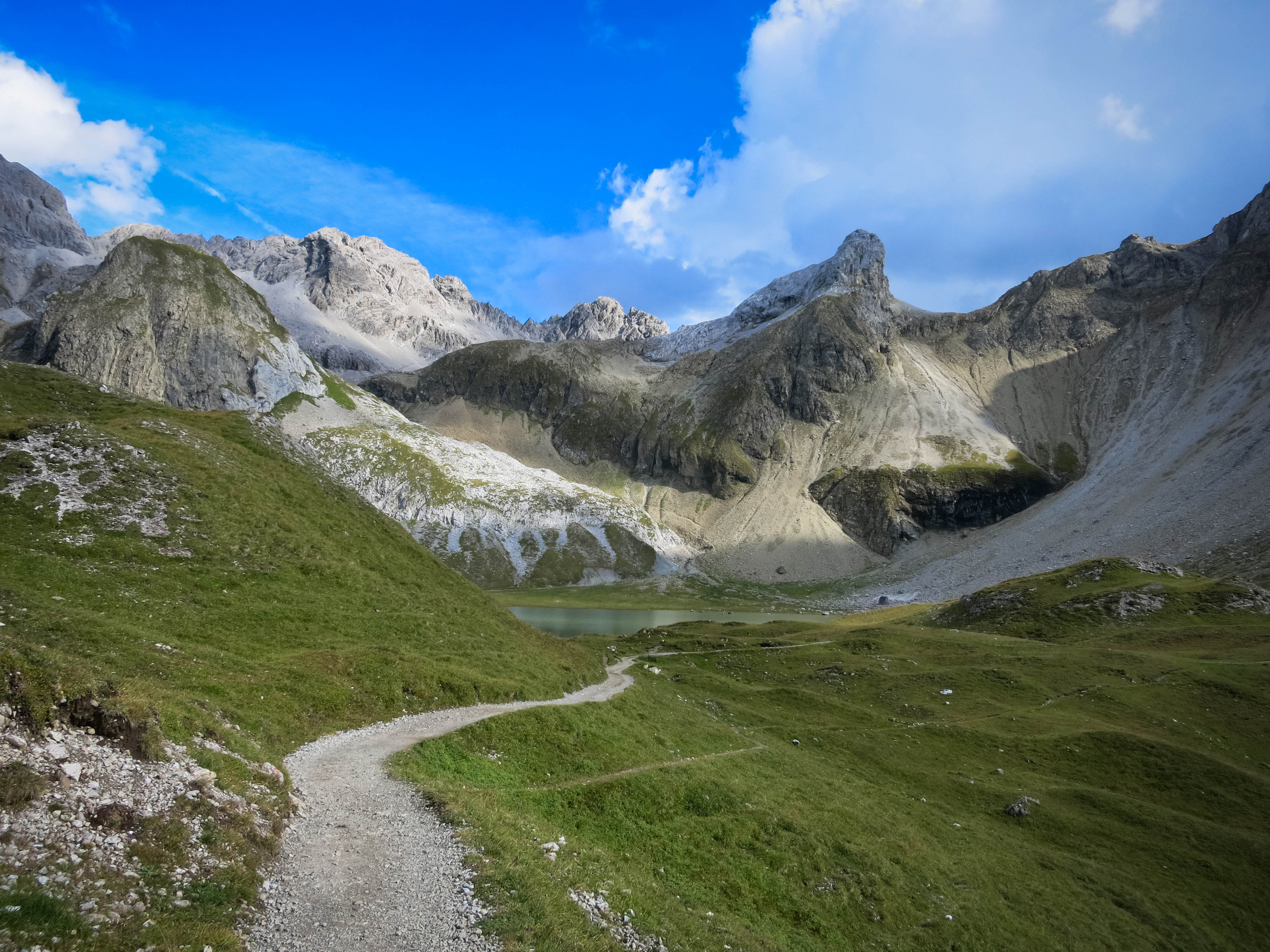
One of the Parzinn Lakes
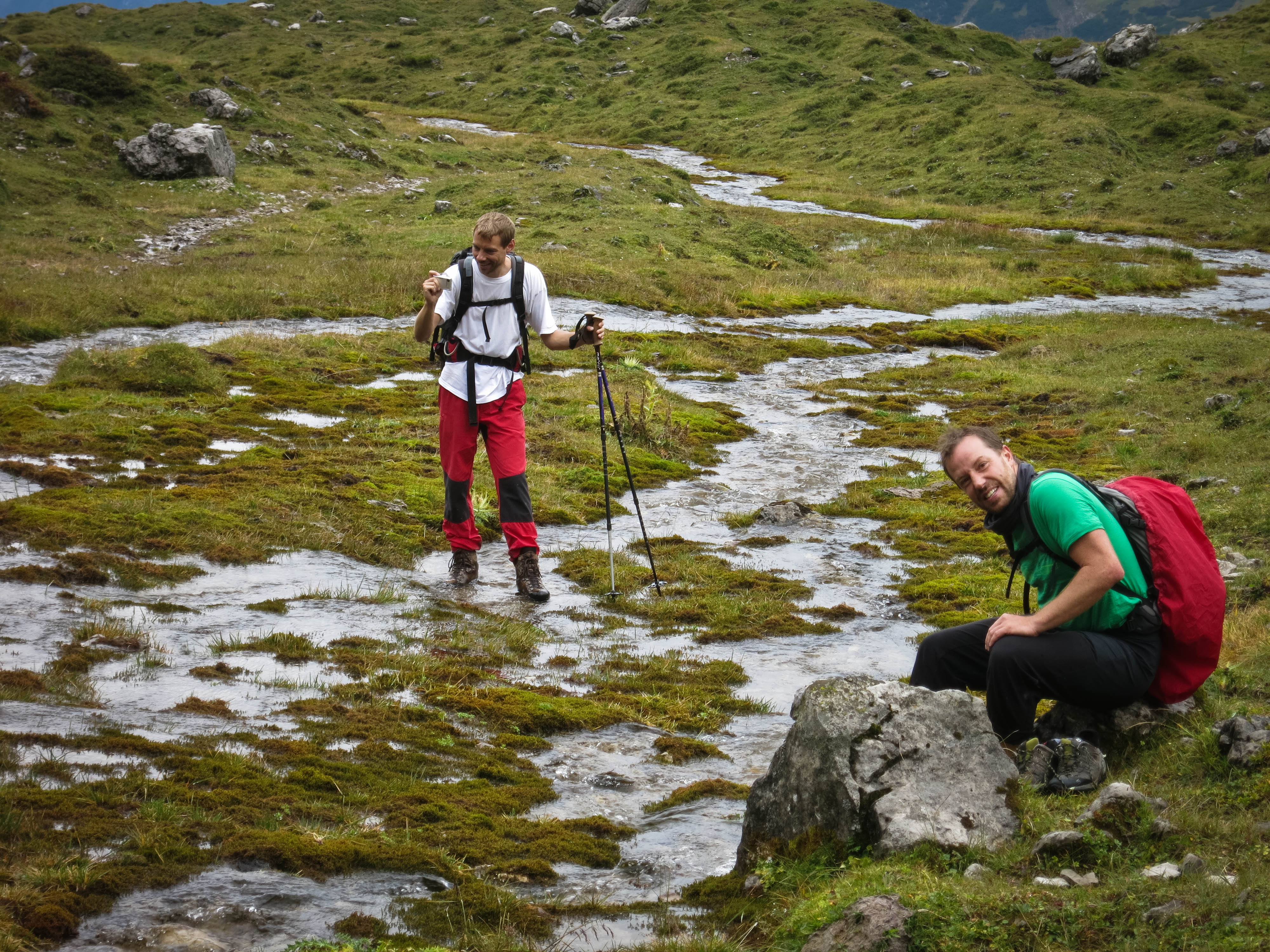
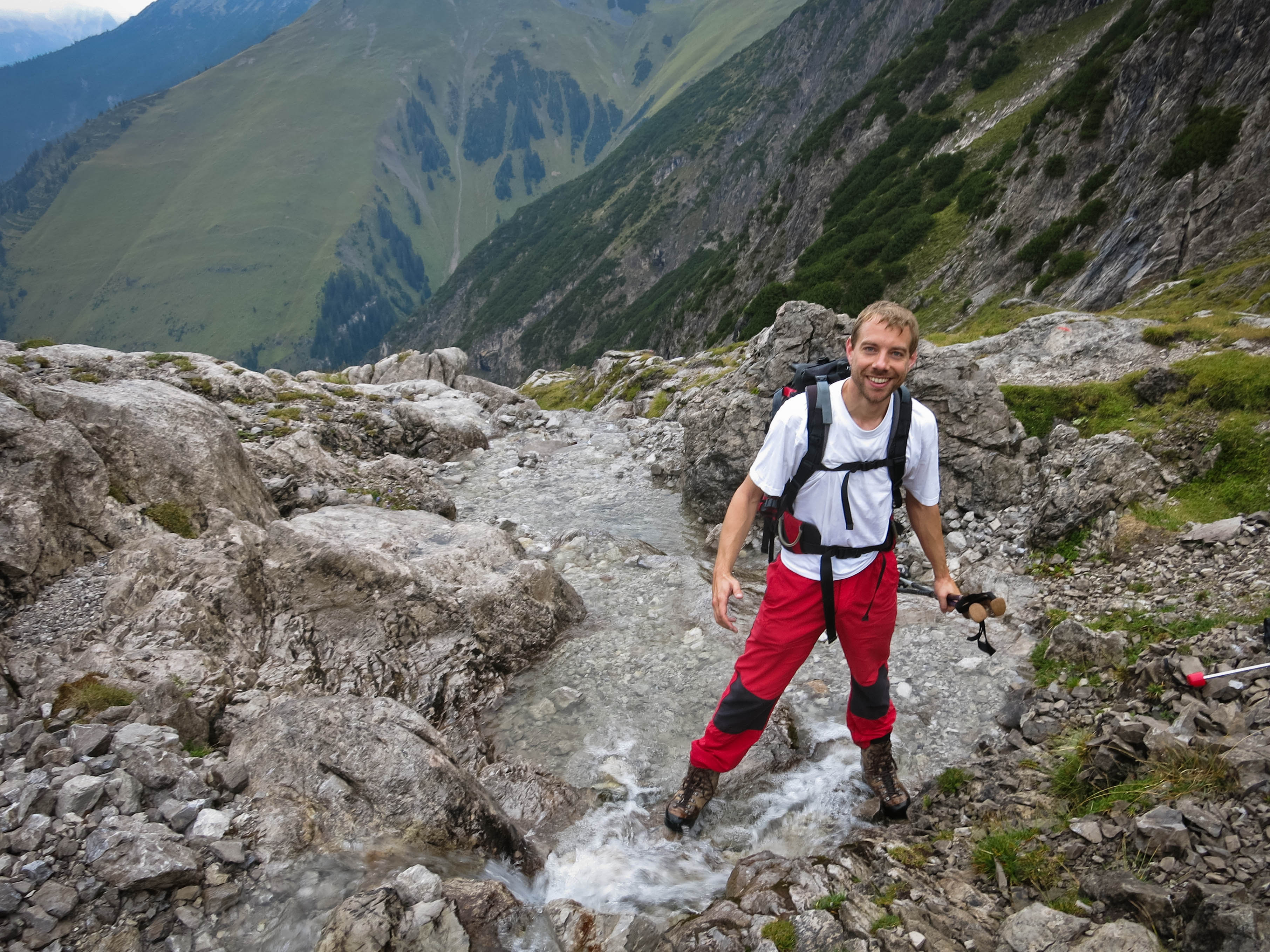
Off-trail river crossing
Looking back
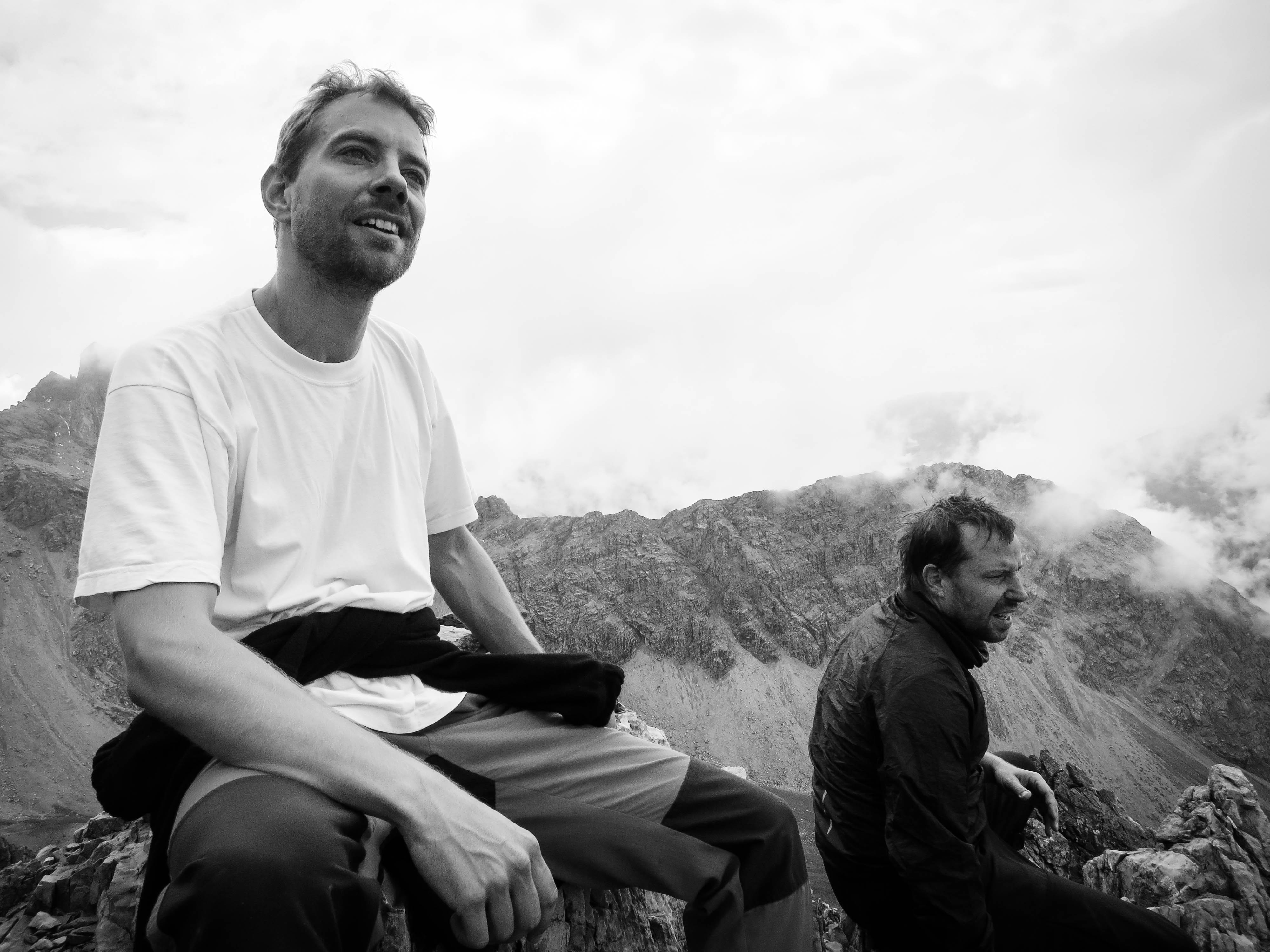
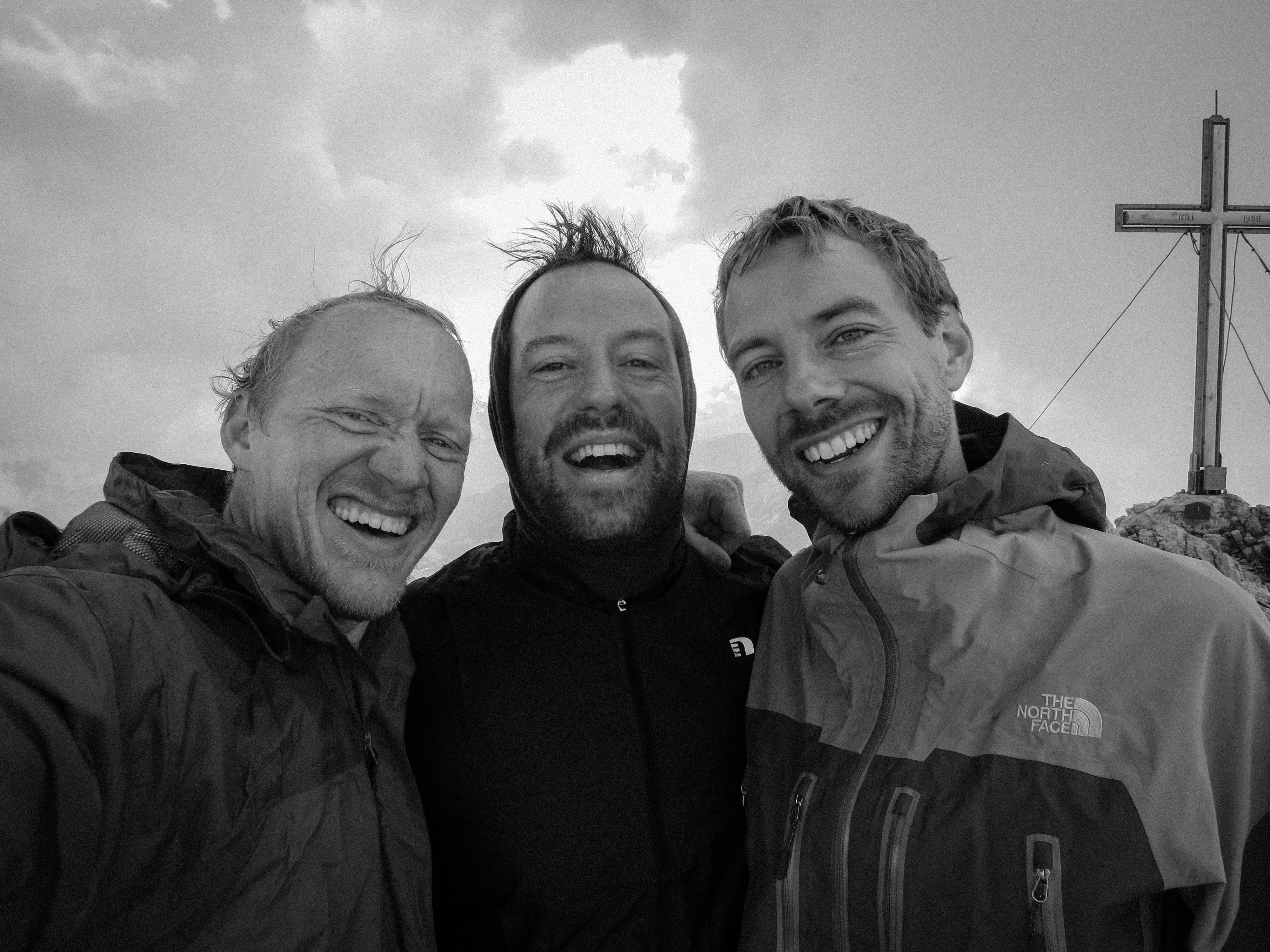
Gipfelhunger
Operations proceeding smoothly
Yeah, it's alright
Uli, Florian and I drove away from Munich after work Friday, aiming for the little Austrian town of Gramais in the Lechtal Mountains. I’d read about a 5 day hike that encircled a collection of these mountains, and had the wild idea to make the hike over the weekend. With these two strapping fellas, I’m sure we could do it! Anyway, we munched on some bread for dinner and got to the town in a light rain. Trying to find a place to sleep, we ran into an old man in the cemetery gathering mushrooms. He was very friendly, and suggested we roll on down to the museum on the edge of town. Below a parking lot was a “pioneer home” museum. We got our sleeping bags out and did some rustication of the exhibits in order to make room for a dry place to sleep under the awnings. I think Uli shared some schnapps and we drifted into a comfortable sleep lulled by the sound of the river.
In the morning, we re-assembled the pioneer home, munched on some cookies and we walking in light rain. We crossed the river on the northeast side of town, then turned steeply right up the Platzbach. Soon we warmed up, even as the clouds lifted. Florian and I joked about selling ever-more exclusive outings to people with too much money. Specialness comes with scarcity, so the more you pay the less you are provided with. A catered lunch? How about a pinecone instead - whose story will be more interesting years later? So the outing with a hastily tossed pinecone dinner costs 3000 dollars, while the catered dinner is 300 dollars. Wonderful!
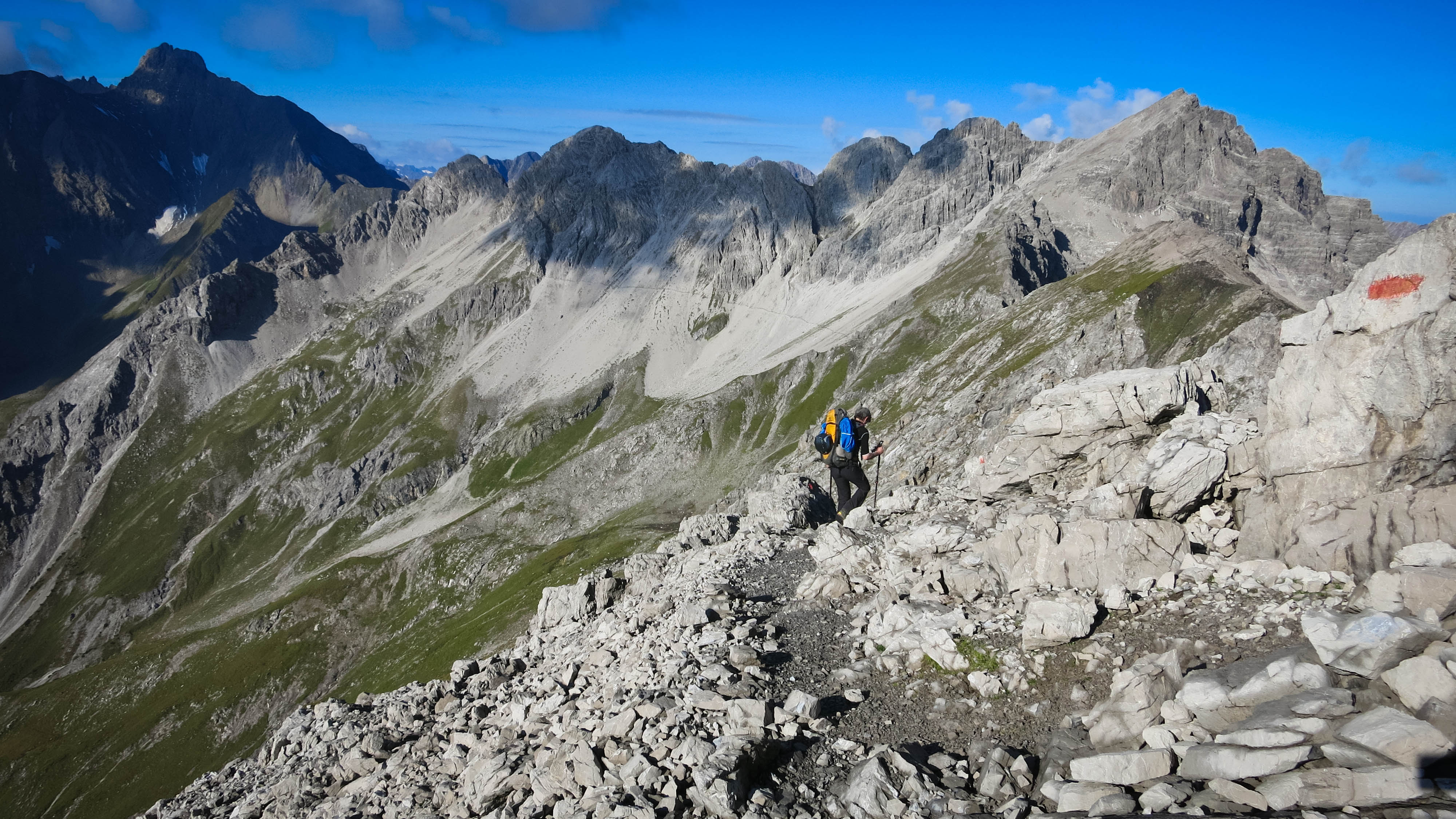
We followed watercourses to the Kogelsee, and thence to the Kogelseescharte (2497 m). We’d climbed about 1200 meters, and now were firmly in the high country. We descended past the Parzinn Lakes to the Parzinn Alp, nodding a quick hello over to the Hanauer Hütte, the “prime noctre” destination for those on the 5 day plan. Pah! we said.
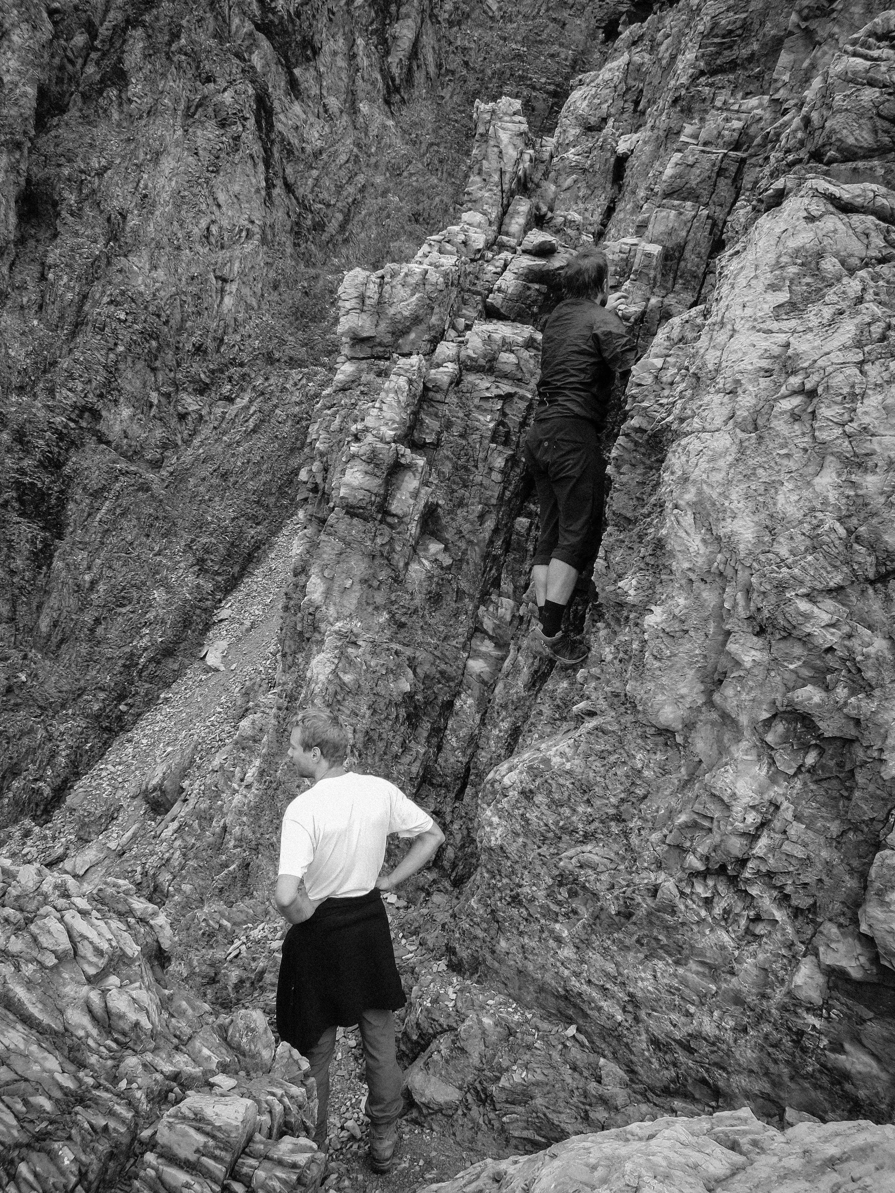
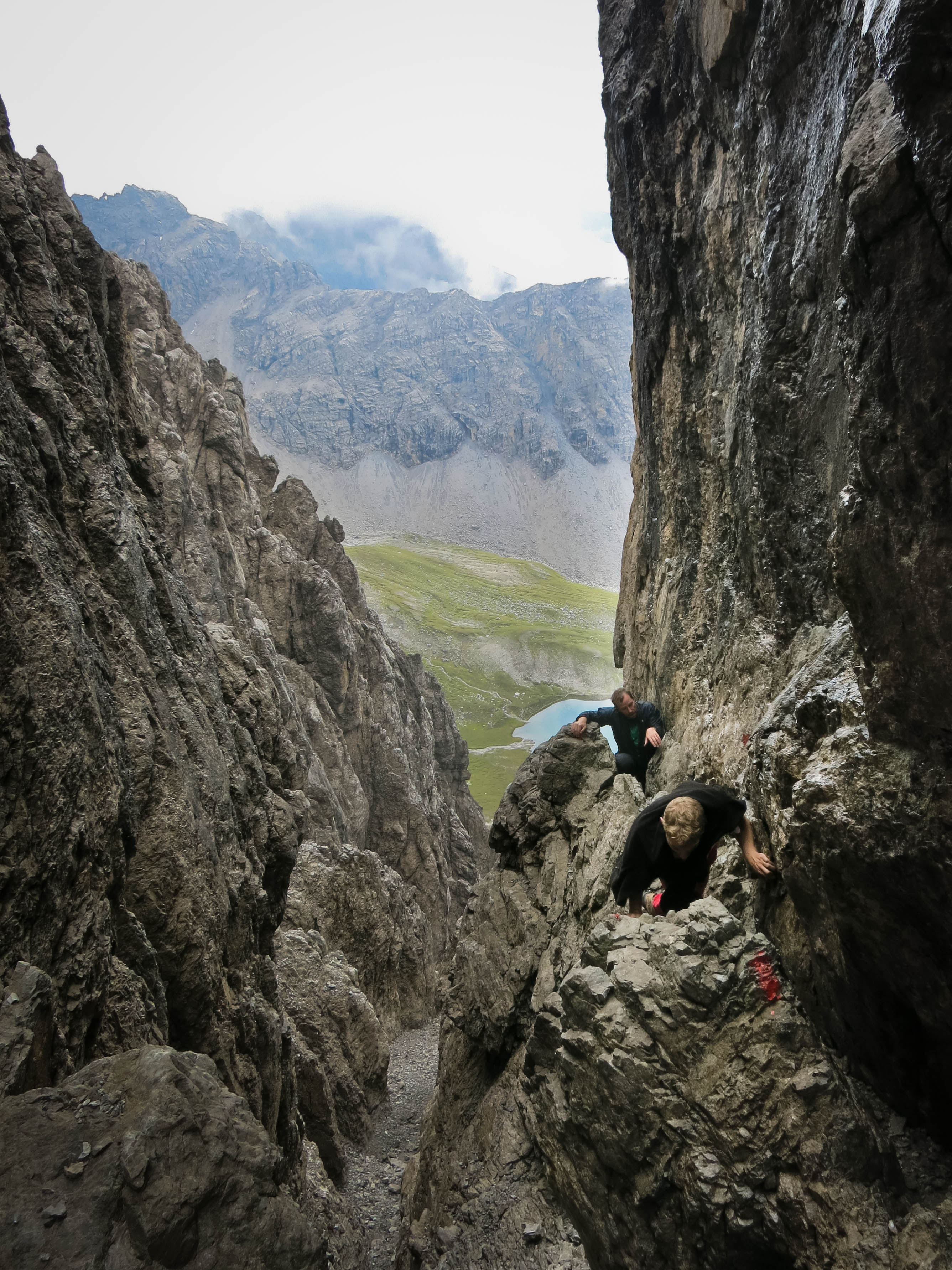
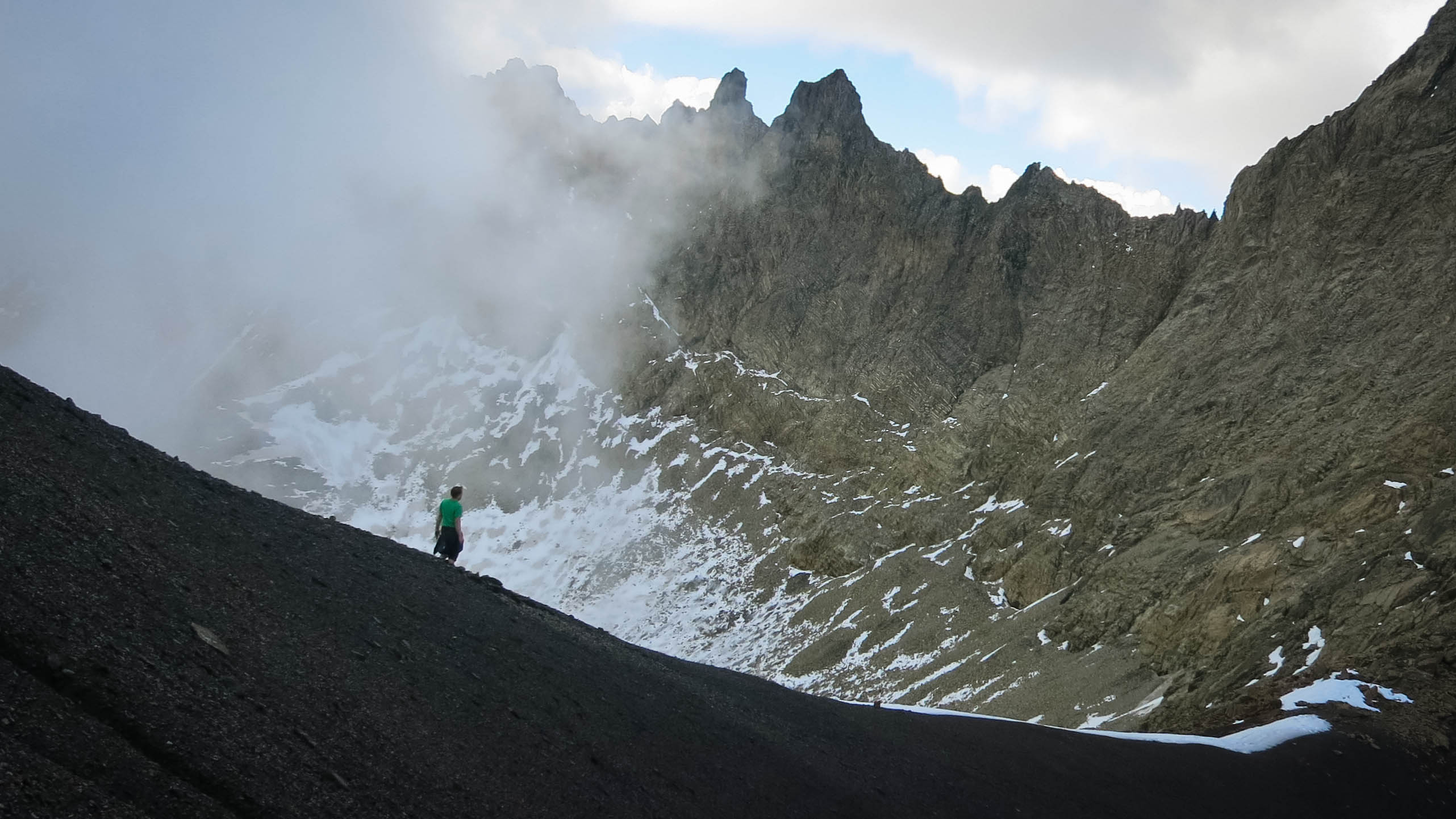
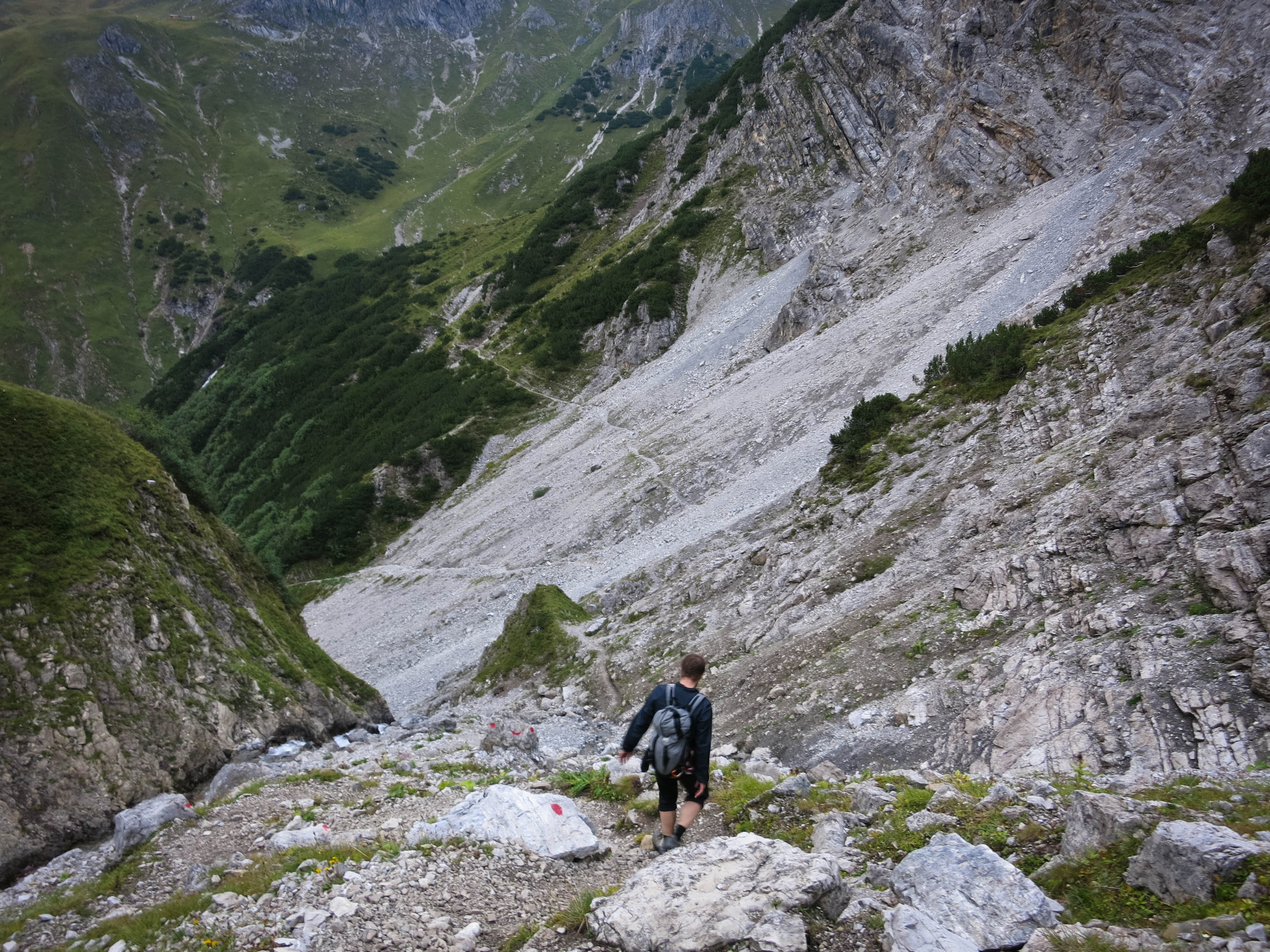
We had to remove shoes to cross a small river, which was fun. Climbing up to the Westliche Dremelscharte, we wondered if we should climb the Dremelspitze. It was still cloudy, but occasional breaks made us hopeful for some good views. At the pass, a party was snacking. We said hello and started up the marked scrambling route. What an amazing scramble! It was quick steep and enjoyable. You are always going around corners, up chimneys, over gables and along narrow ridges. It had a little bit of everything. Rated III for one move right at the start, it was continuous grade II terrain. In the USA I’d call this an excellent 4th class scramble.
Climbing
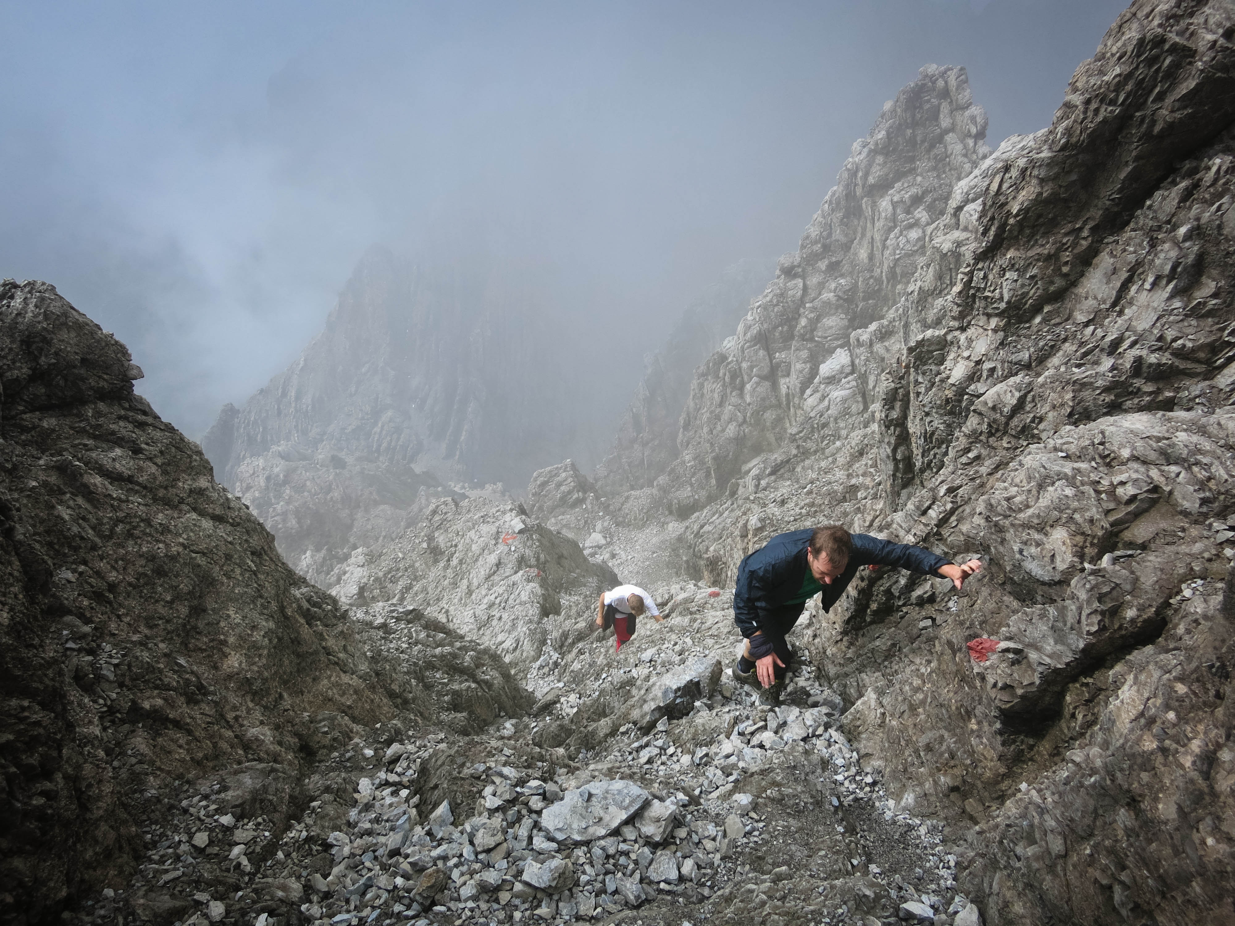
Climbing II

Climbing III
This ridge is a climb
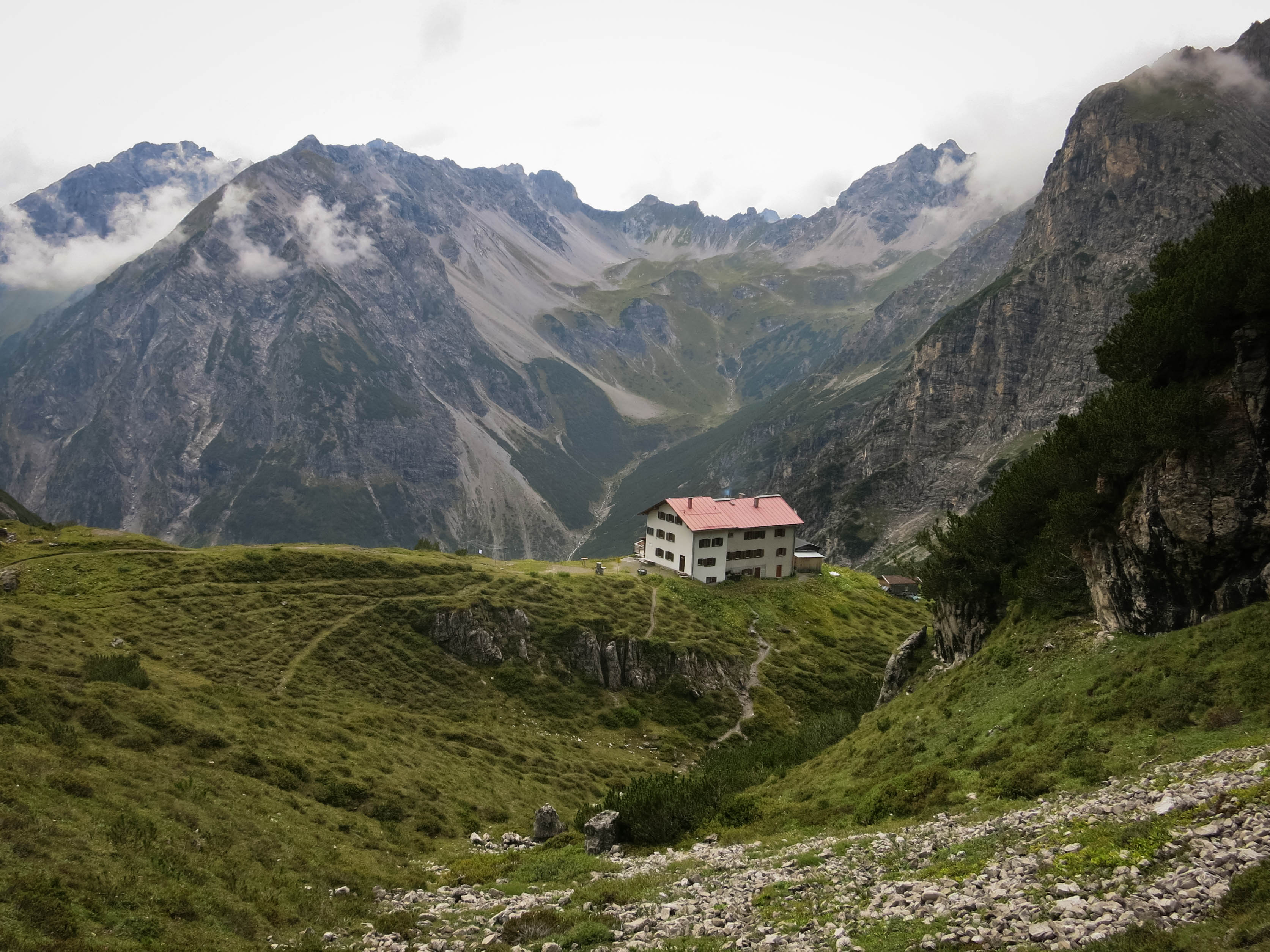
The Steinseehuette
Oh. Yeah.
Wha?
Looking back
Flo psyched. Uli scouts.
Metadata
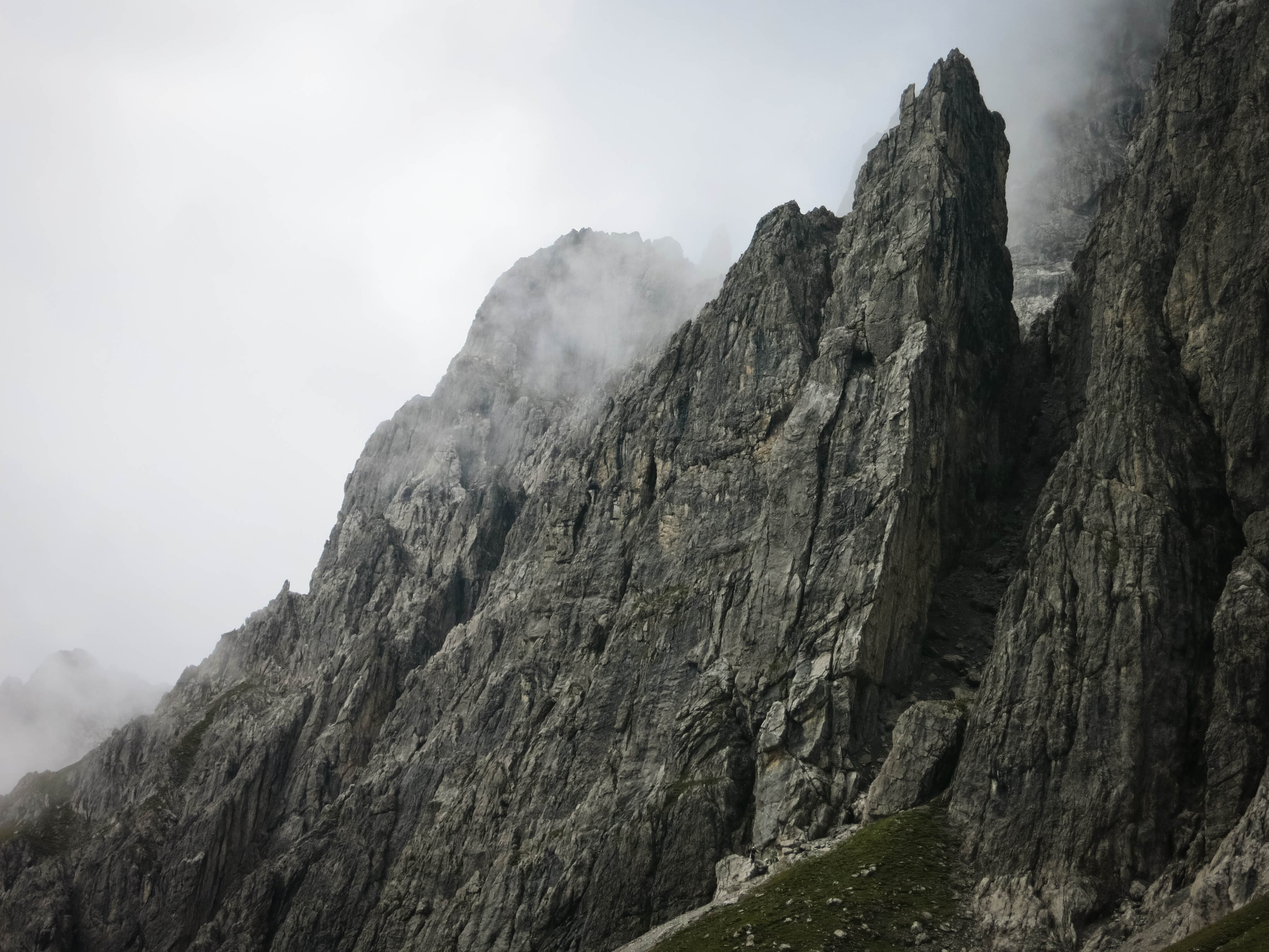
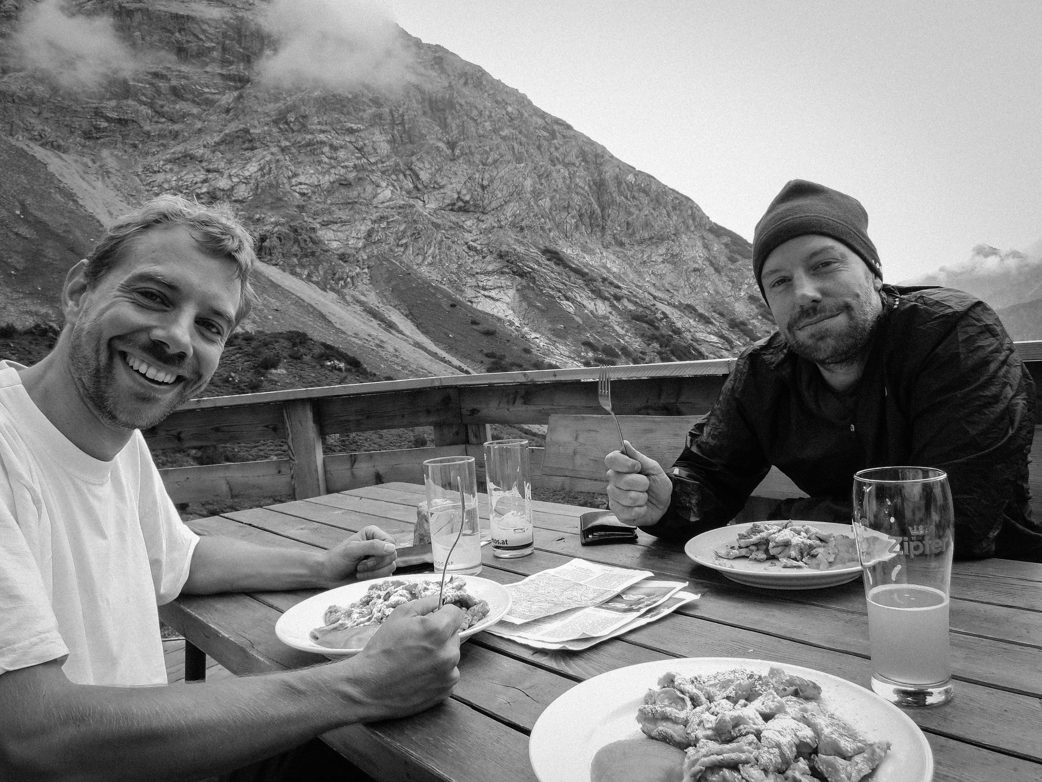
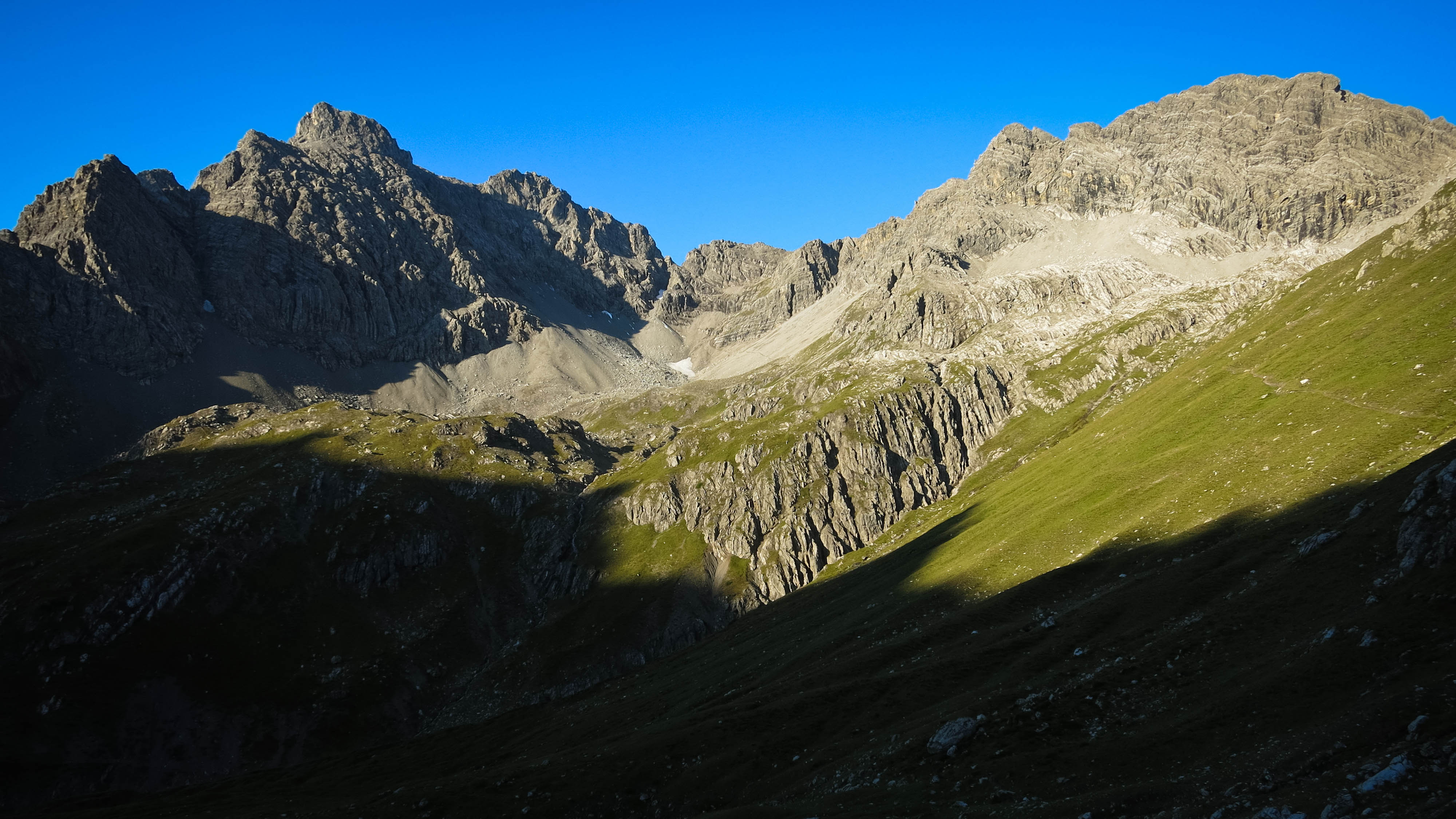
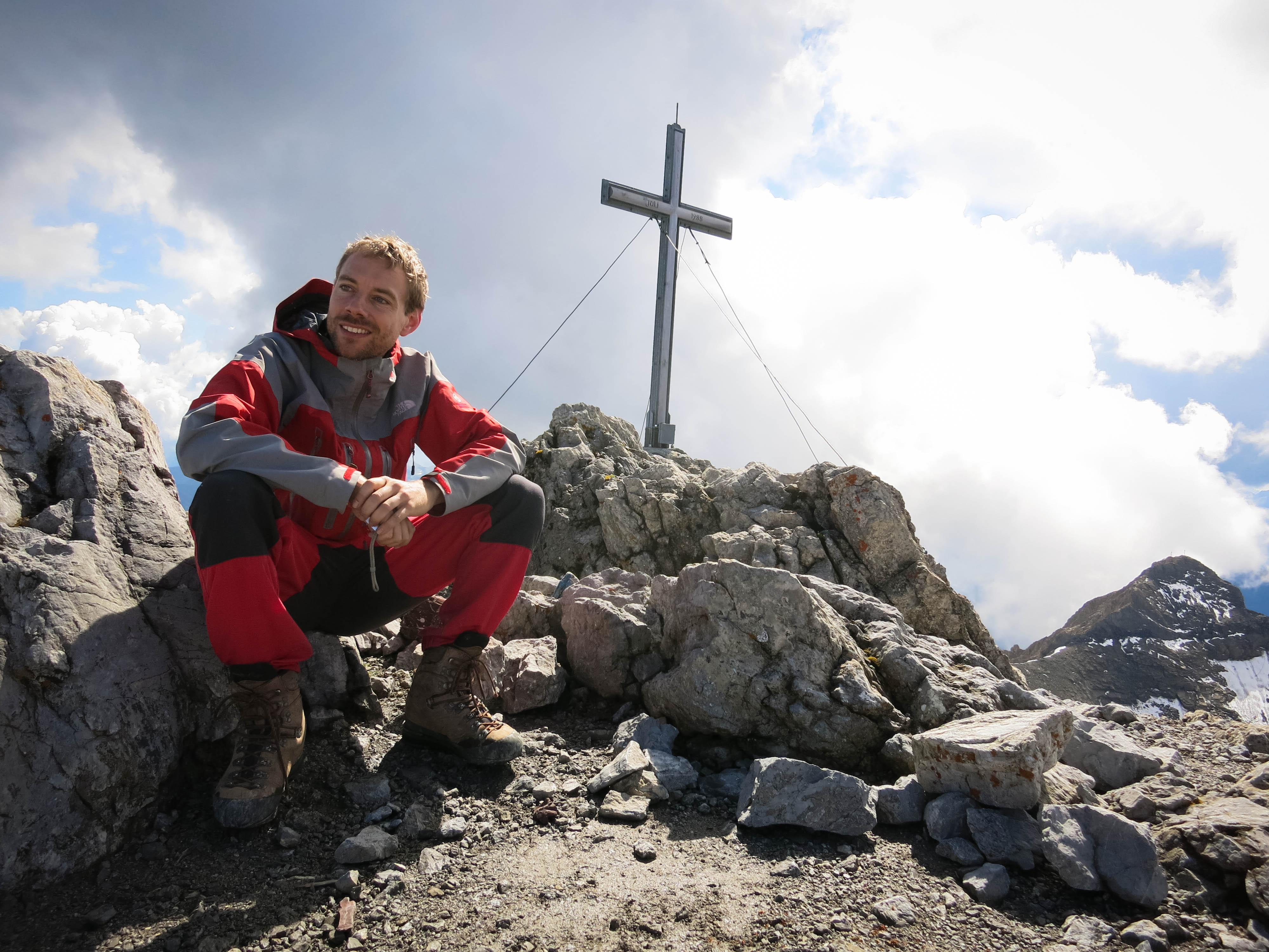
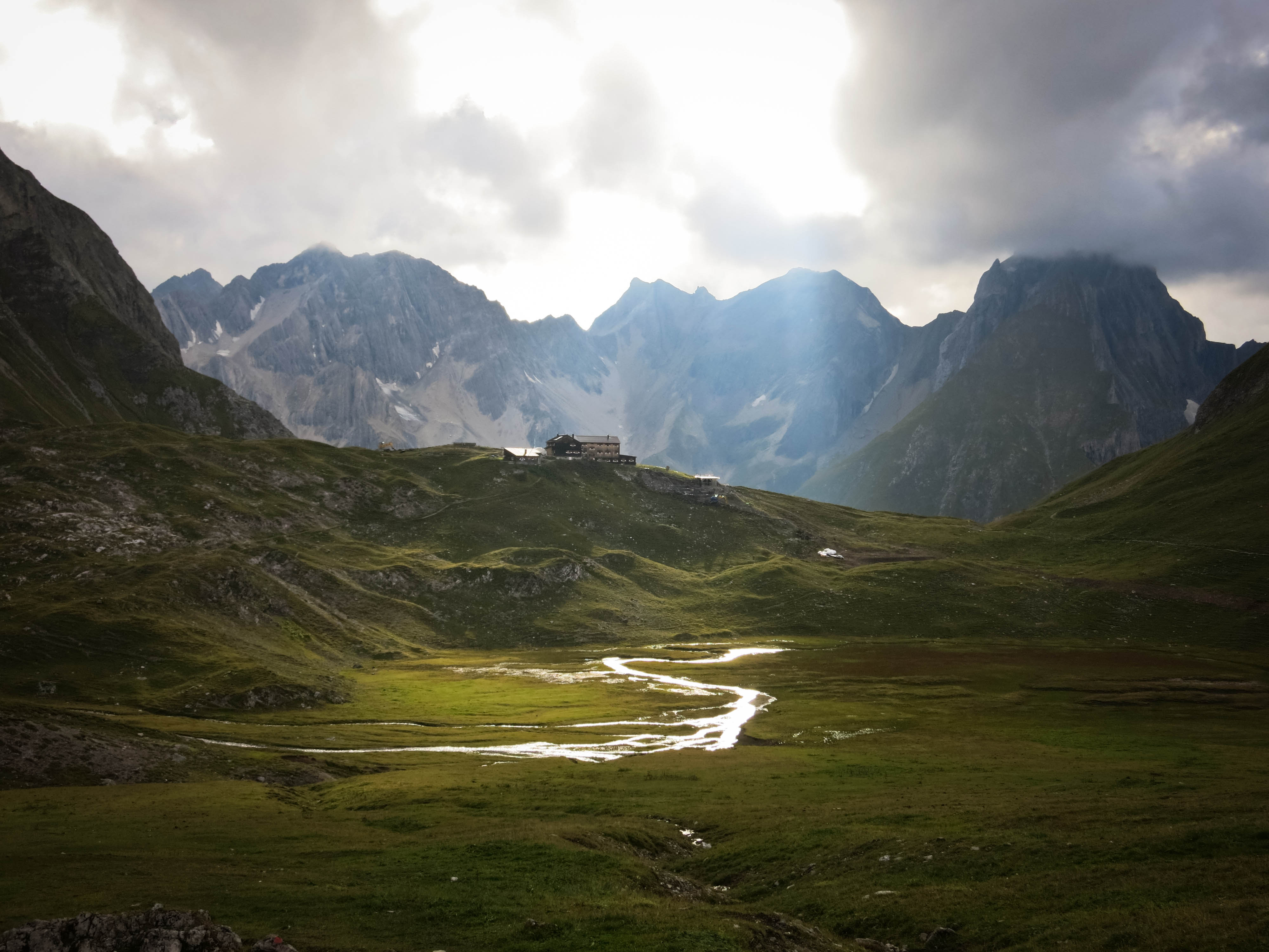
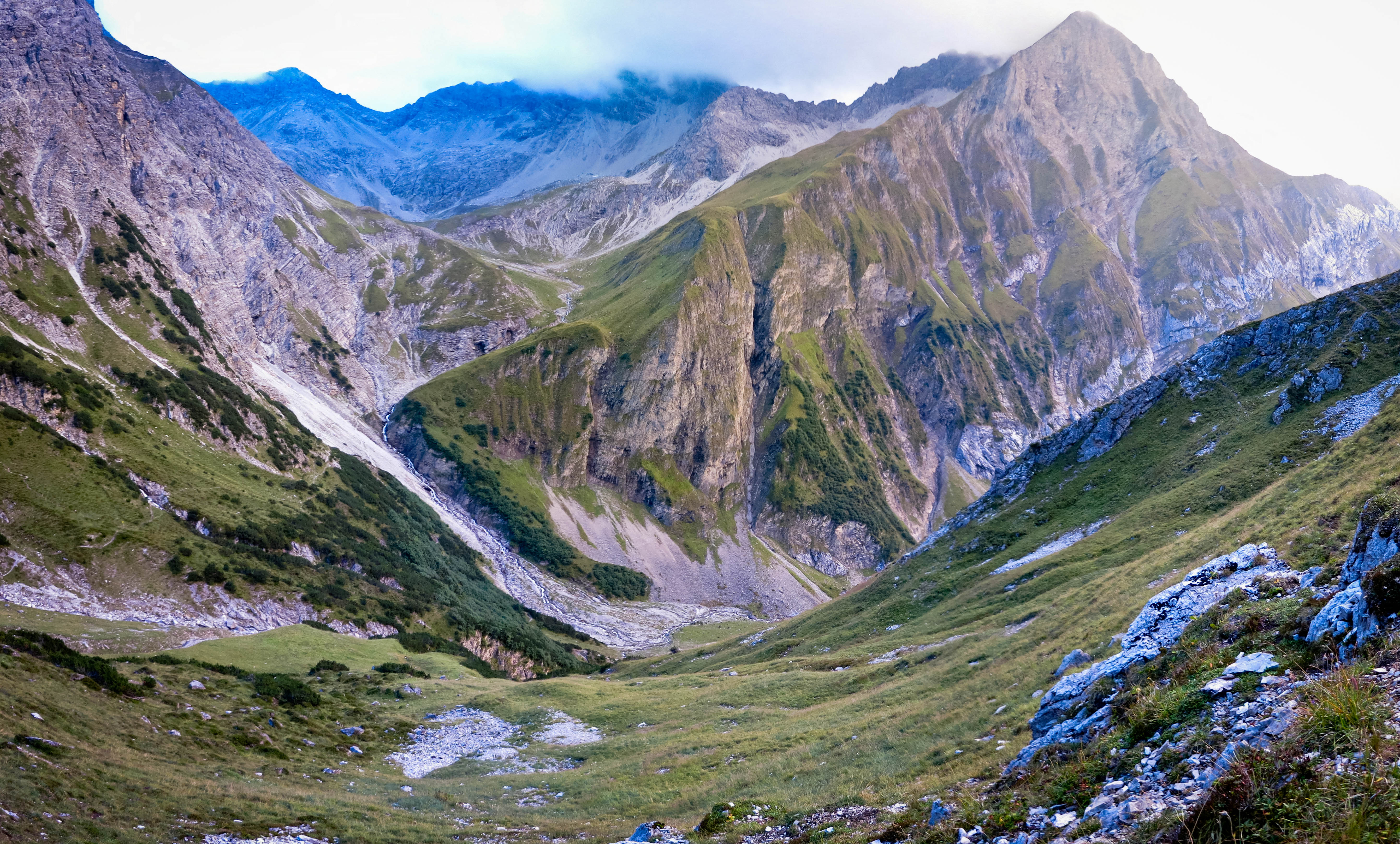
Alas, no views on the summit, but we were not deterred. We waited for a while in hope, then descended quickly. On the other side of the pass we came to a place Uli had been to before…a wonderland of multi pitch rock climbing at the Steinsee and the Steinseehuette. We’ll be back here with a rope, for sure. We got some well-deserved lunch at the Steinseehuette: Kaiserschmarrn of course! We climbed somewhat tiredly up to the Grasgufeljoch (2382 m), skirting it then continuing to the Rosskarscharte. Descent from this place was hilarious, with long metal cables meant for hand-over-hand lowering down steep slopes of scree and rubble. As evening came on, we climbed over the Gebäudjoch, then down to our home for the night. The Württemberger Haus wasn’t expecting us but they had room. We were in an amazing cirq of stone mountains and meadows, with a rather remote feeling that nicely matched the feeling of long-distance travel.
We washed our feet in the cold stream, then we had some beers, joked around a bit then went to bed. Florian was already thinking of a plan that I hadn’t even considered. Our booklet promoted a possible side climb of the Parseierspitze, which is the only 3000 meter peak (actually 3036 m) on the north side of the River Inn. The peak was well out of the way of our loop. But gosh, Florian was enthusiastic! Uli and I exchanged looks…knowing how tough this would be! We’d just climbed 2500 meters up, 1600 down across 15 kilometers over 8 hours. We were tired for sure, and with the Parseierspitze we were committing to another really big day.
No problem!
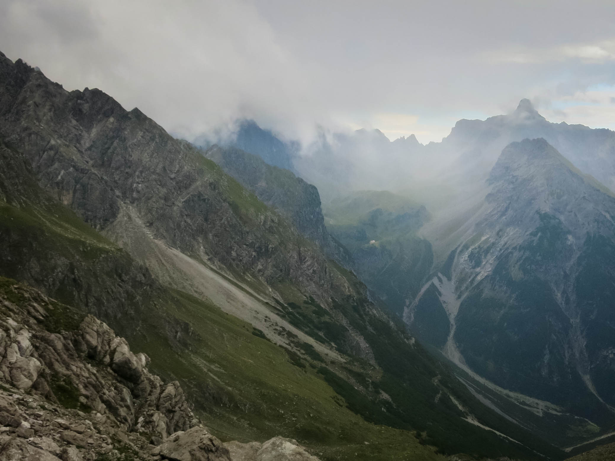
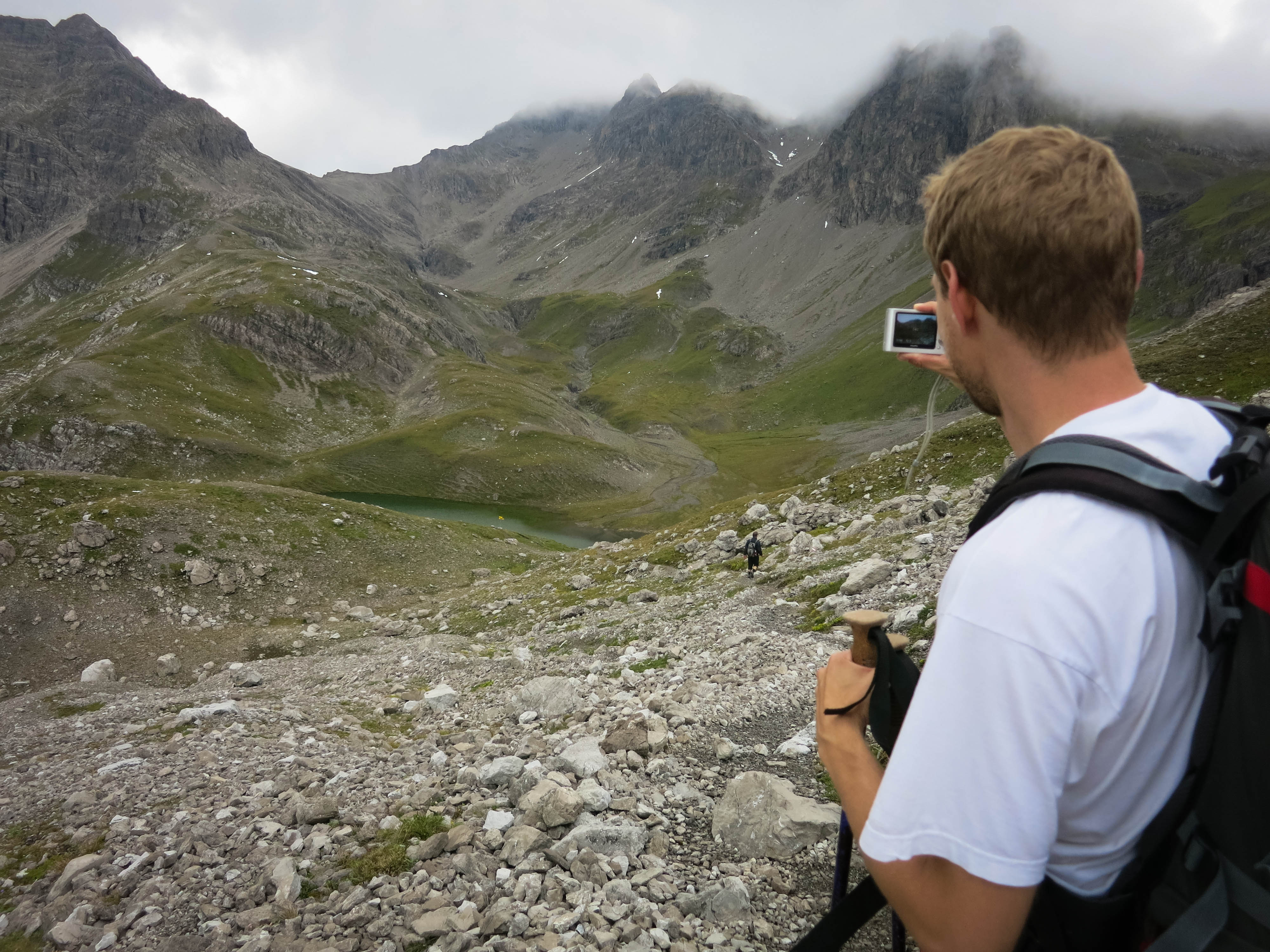
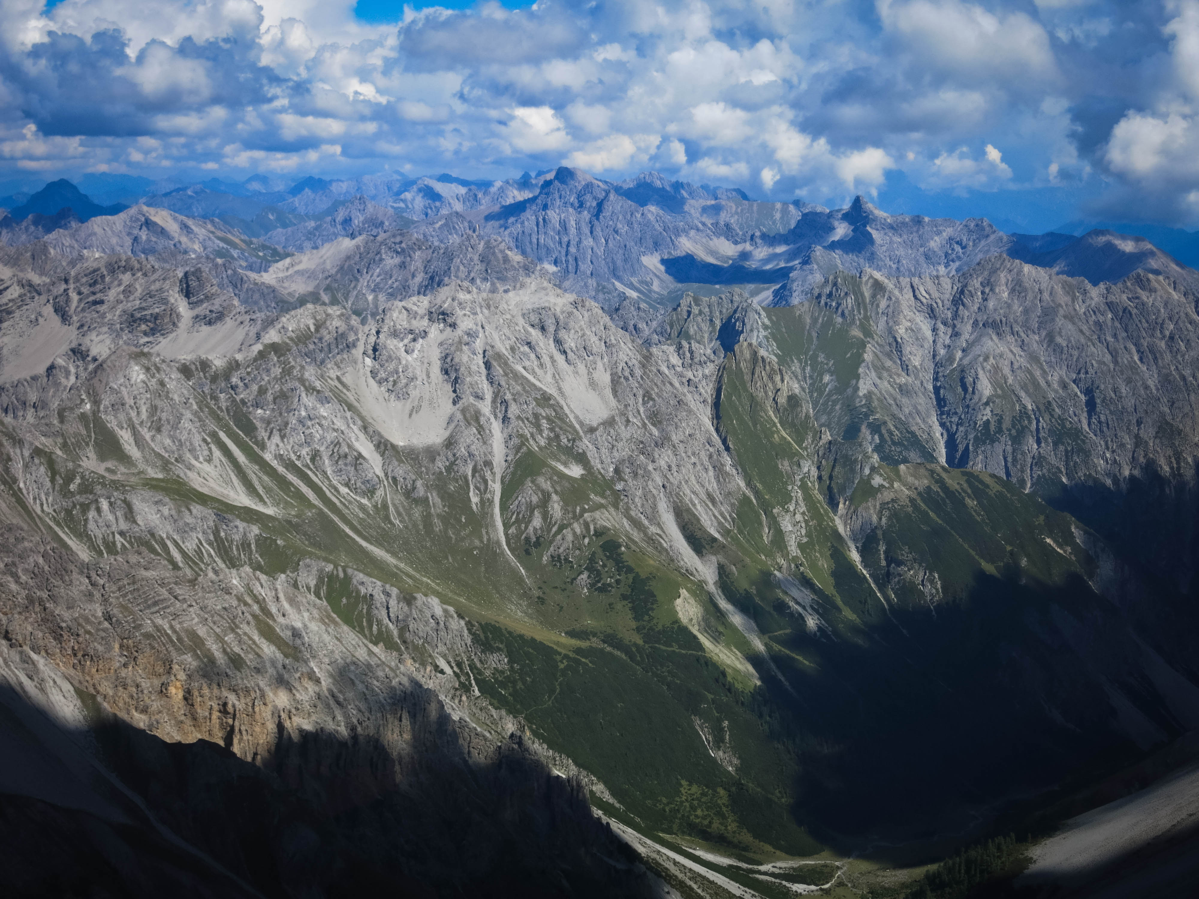
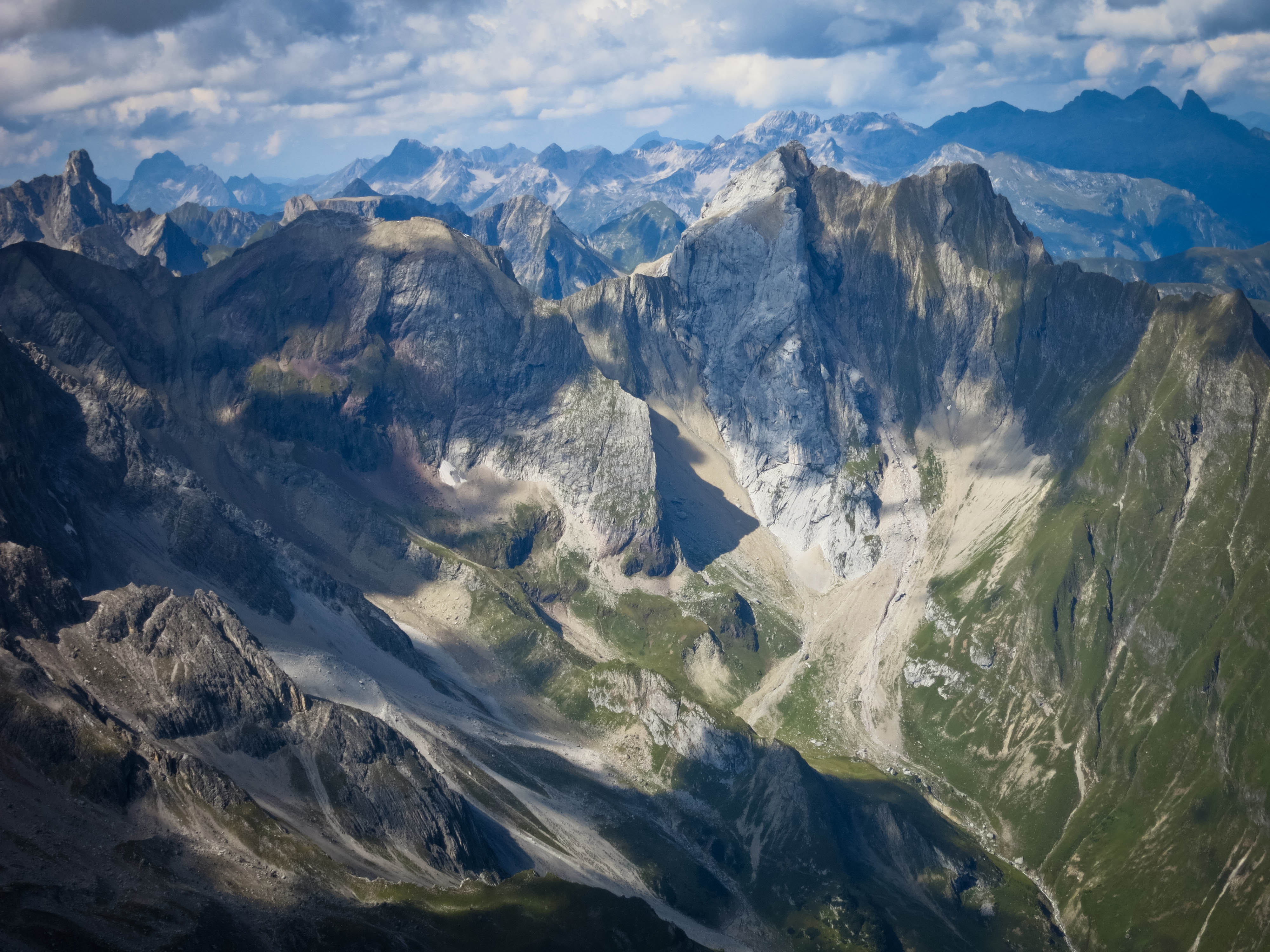
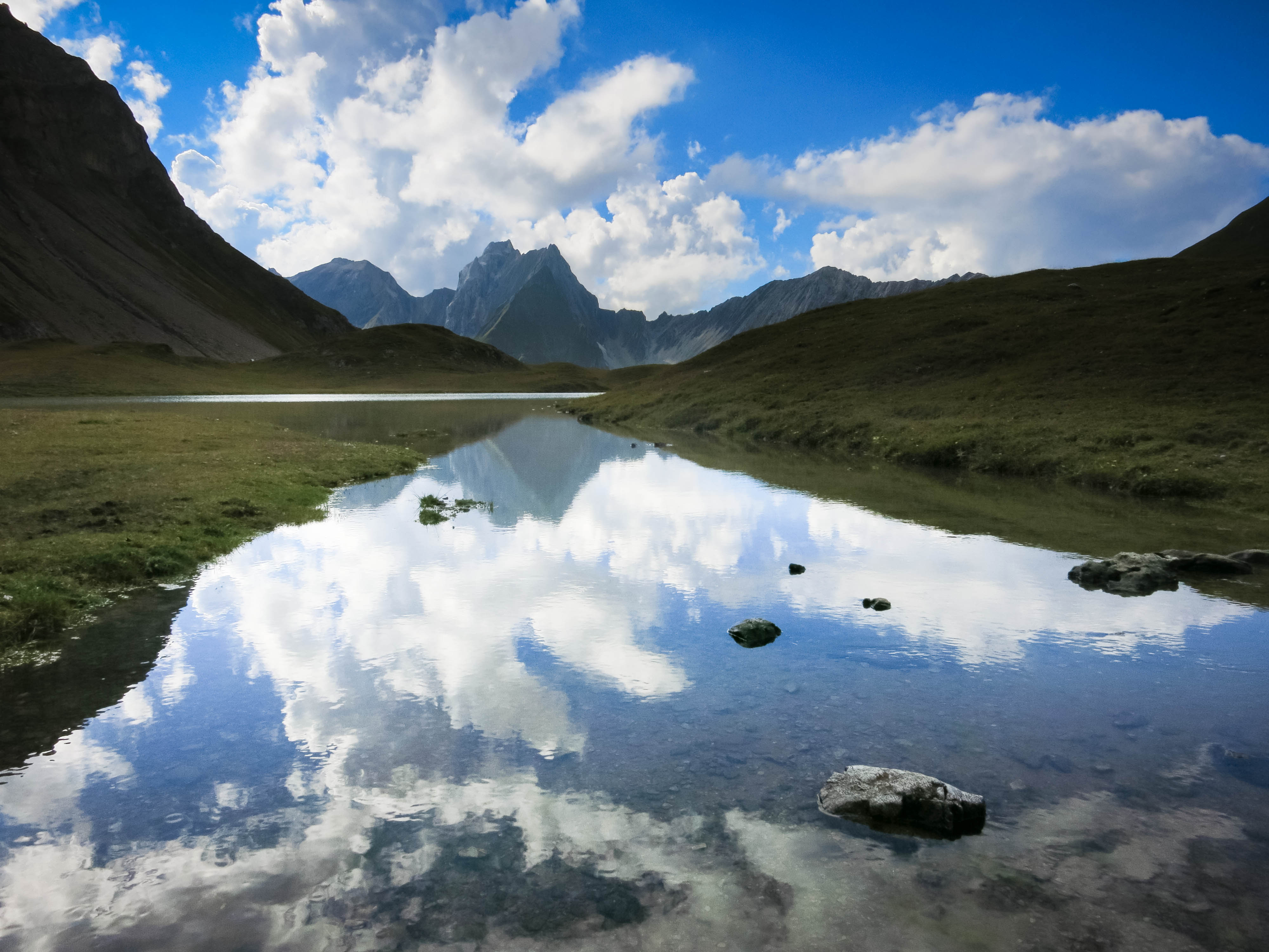
In the morning we had a light breakfast and set out for the Seescharte, climbing past the Großbergspitze (2657 m), then a spectacular long ridge to the Großbergjoch. In here I got ahead of Florian and Uli, listening to music and just having a blast. Did I mention the weather? It was perfect blue sky!! To the right we had the valley of the Oberlahmsberg and on the left the Lochbach, a lonely looking place. I said hello to some Gämse along the trail, then made my way up to the Seescharte where a crowd of people were sitting. We’d hardly seen anyone on the trail over the whole trip, but here was a crowd. On the other side of the pass there was a whole new vista with the beautiful Seewisee lakes, and I could barely see the Oberlahmsjoch which we’d be getting to many hours from now.
IMG_20140906_190258.jpg
OMG it's actually summer
We are consumers
Flo and our distant summit
Wild valleys
The Seescharte

Slightly fantastical shapes
The 3000er!
Uli confronts the 3000er
On the face
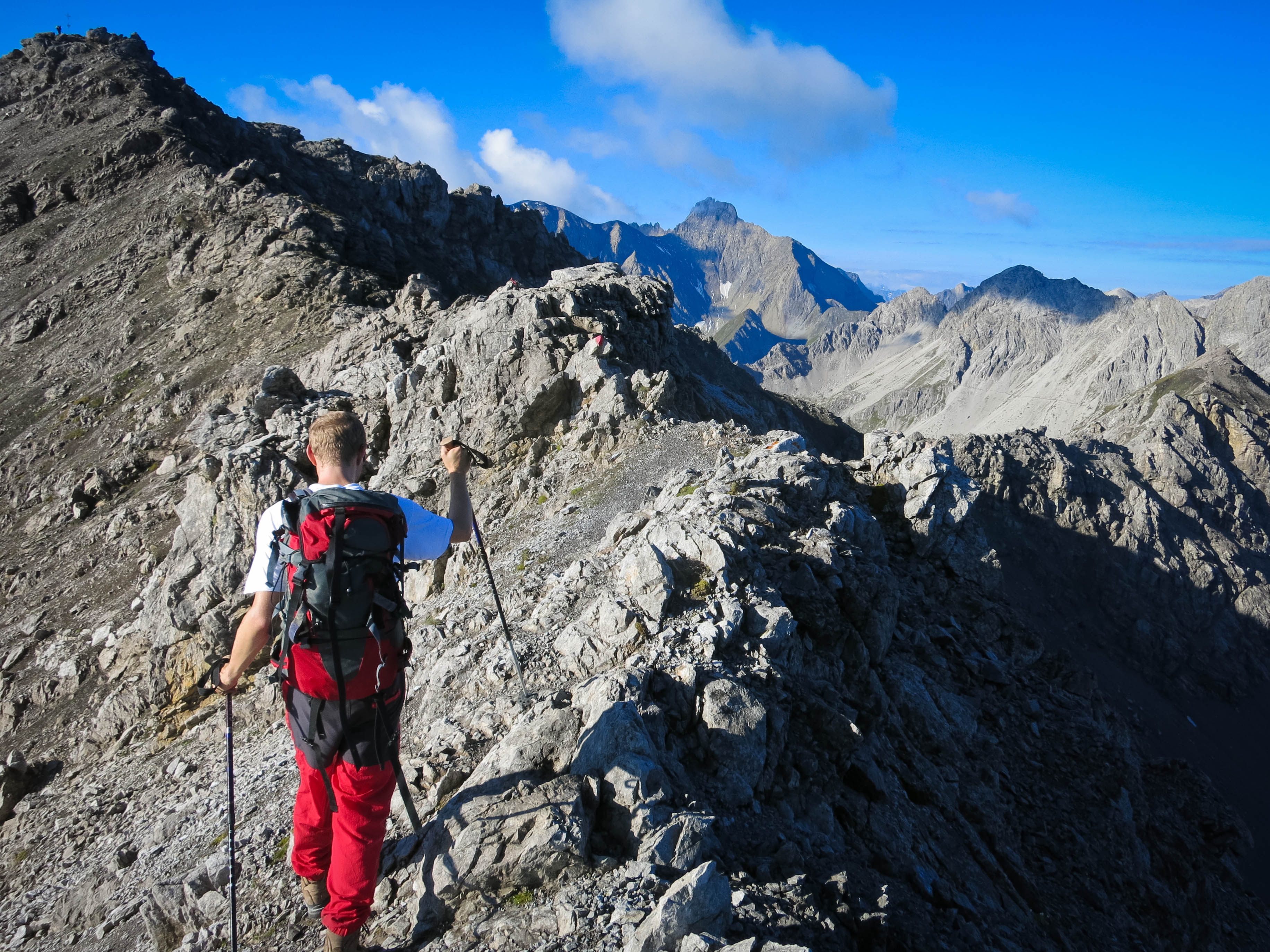
From the sparse map, we’d hoped we could traverse from the Seescharte over to the Wegscharte, the pass that marked our southward journey to the great Parseierspitze. But unfortunately, the ridge was pretty spiky and I feared it would be very time consuming so I descended 100 meters to scree slopes and followed a faint trail to the Wegscharte. Uli and Florian arrived at the pass and we hollered back and forth. They thought I’d gone a wrong way. No way, good sirs! I’d never walk one step too many!
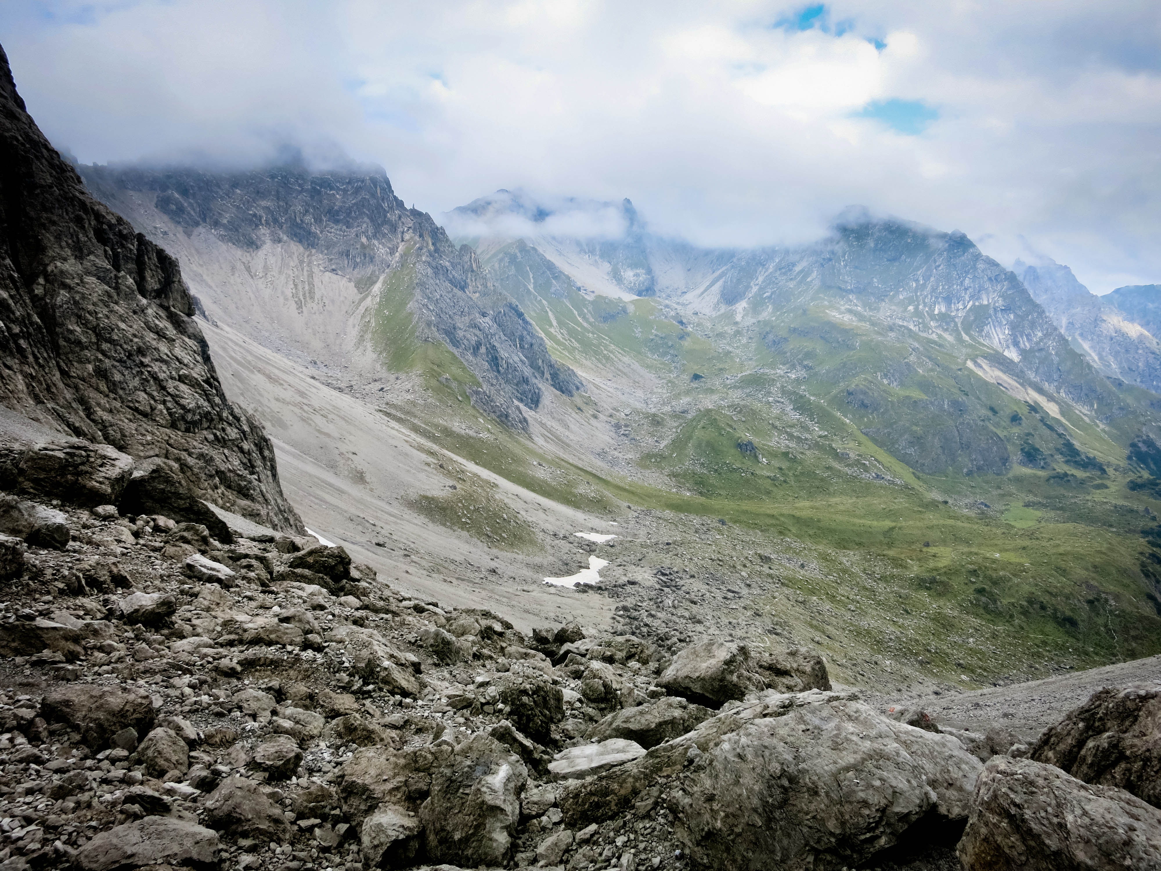
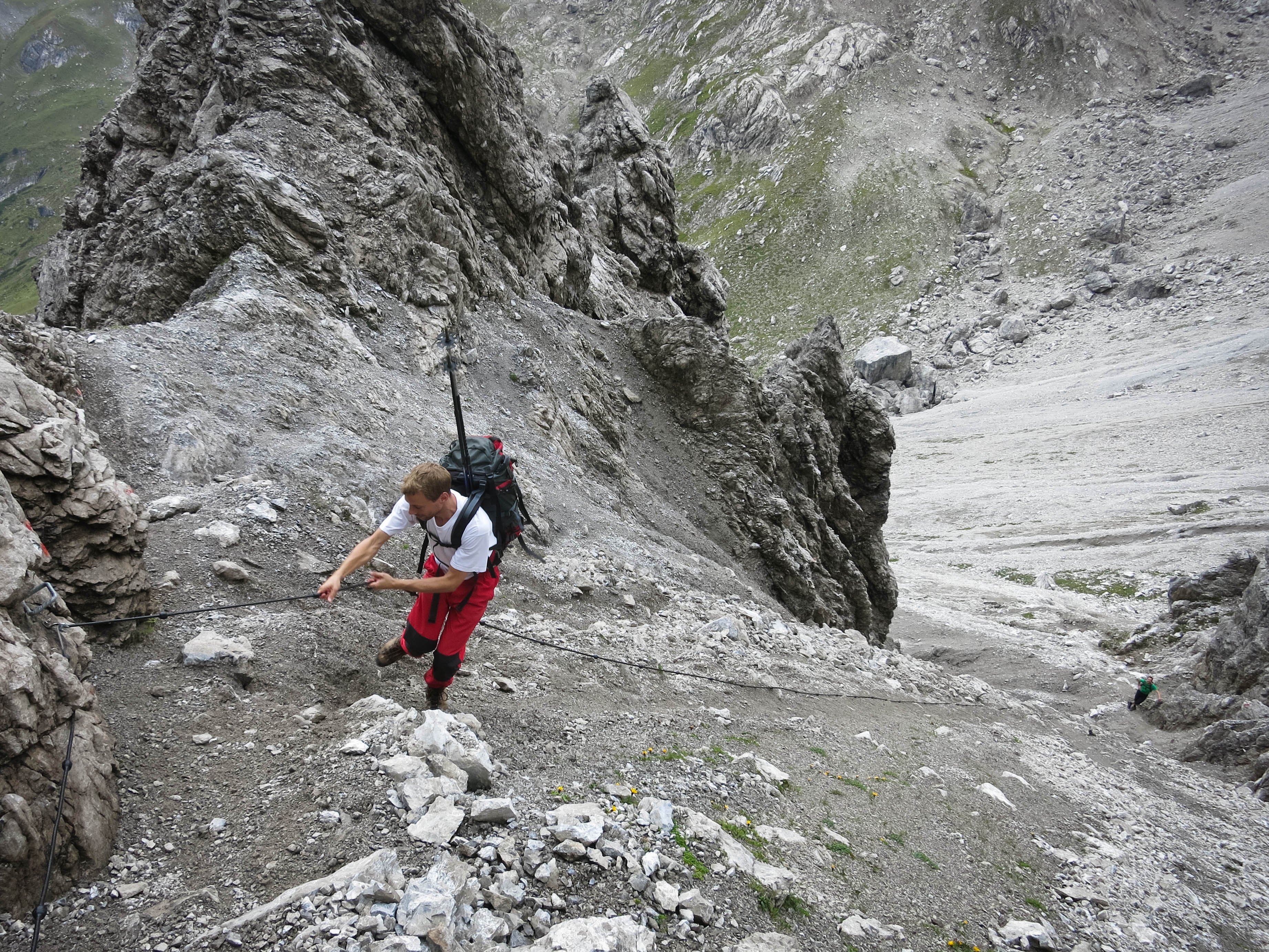
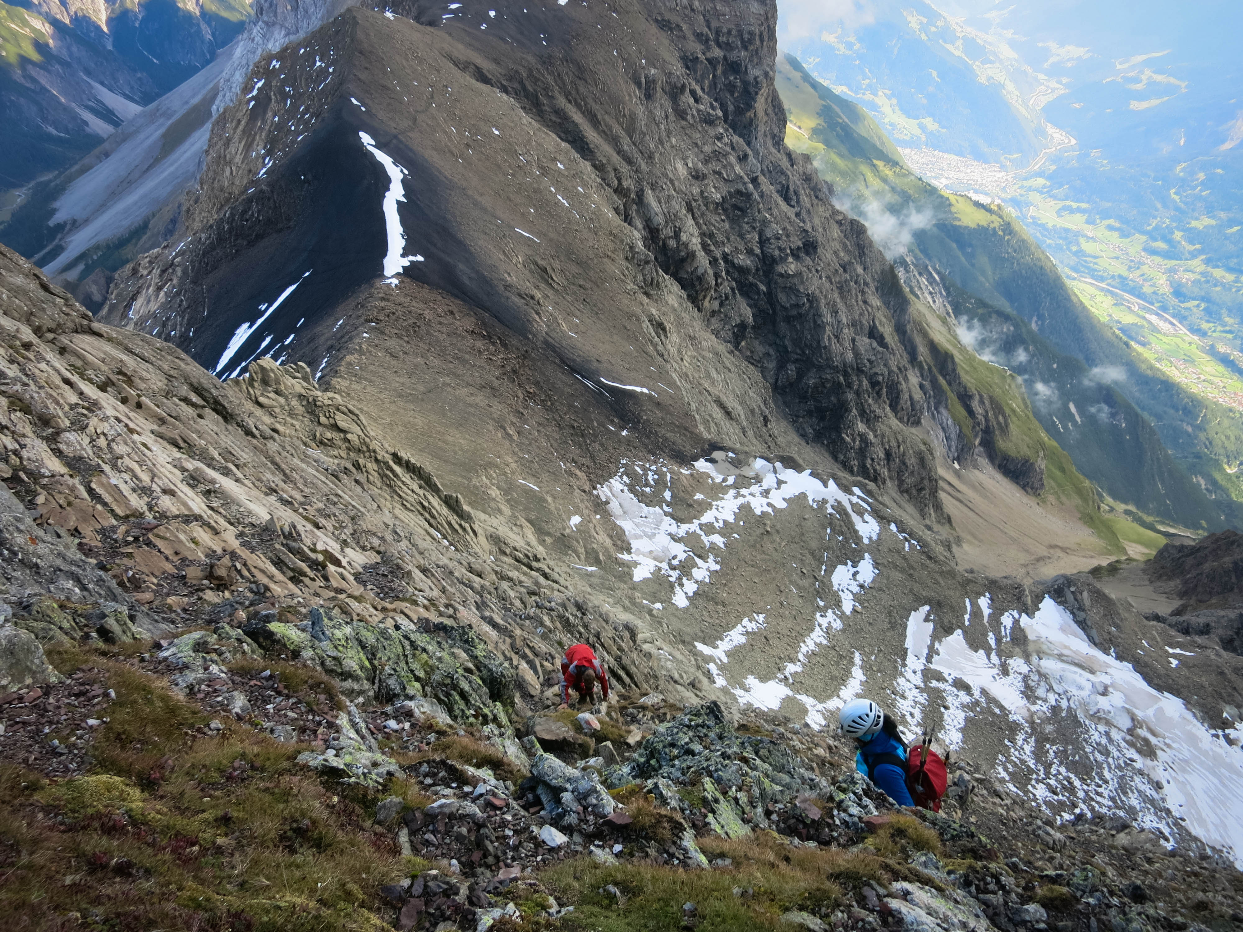
I hung around a while at the Wegscharte looking at the Parseierspitze. It was an impressive mountain. The fellas arrived and we descended an ingenious trail protected by iron through cliffs to a long traverse of the upper Loch valley. At the Parseierjoch we were somewhat dismayed. We’d expected the trail to go scrambling up to the clean north ridge of the Parseierspitze which looked fantastic from here. But instead it descended via a series of vertical ladders into a snowy, muddy circ, then climbs up an alarmingly loose slope of sintered black rock and occasional snow for 300 meters to the Patrolscharte.
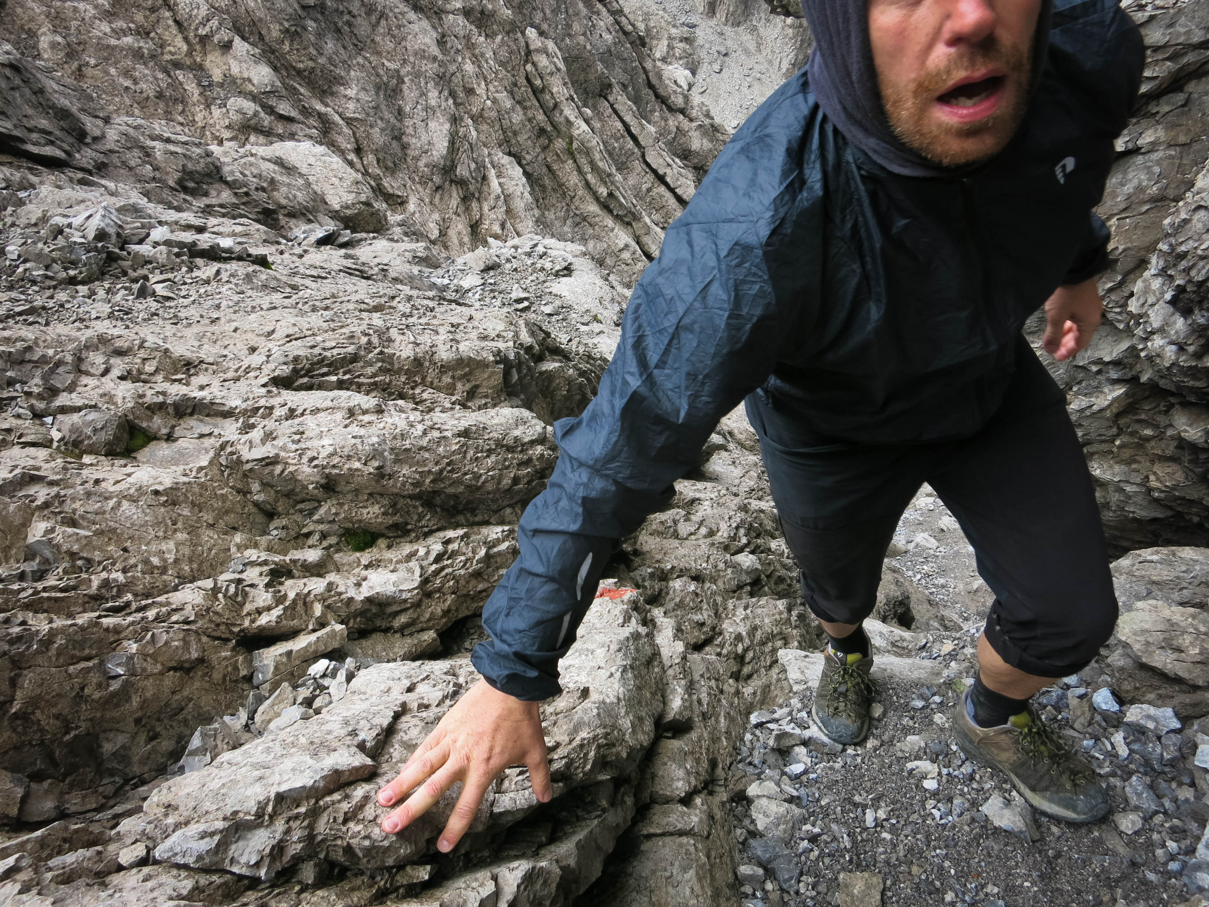
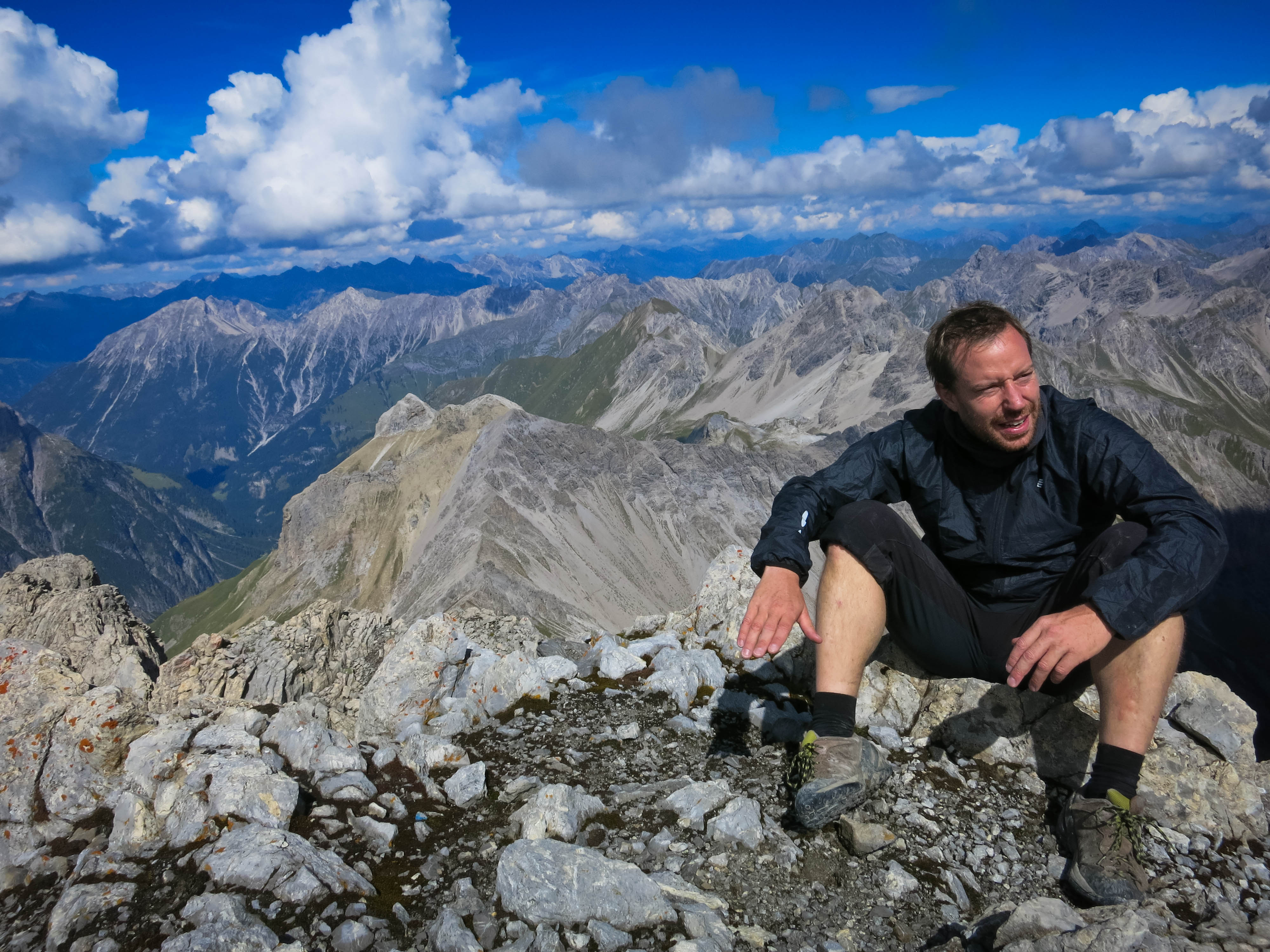
Boy, we were a little tired at this point! And knowing how much ground we had to cover back to the car so, so far away! But we started straight up the ridge towards the impressive summit. I saw a large marker on the left side of the ridge, and a couple of hikers scrambling near it. “Hey guys, I think we should go down here!” I called, but Uli had already espied a way directly up.
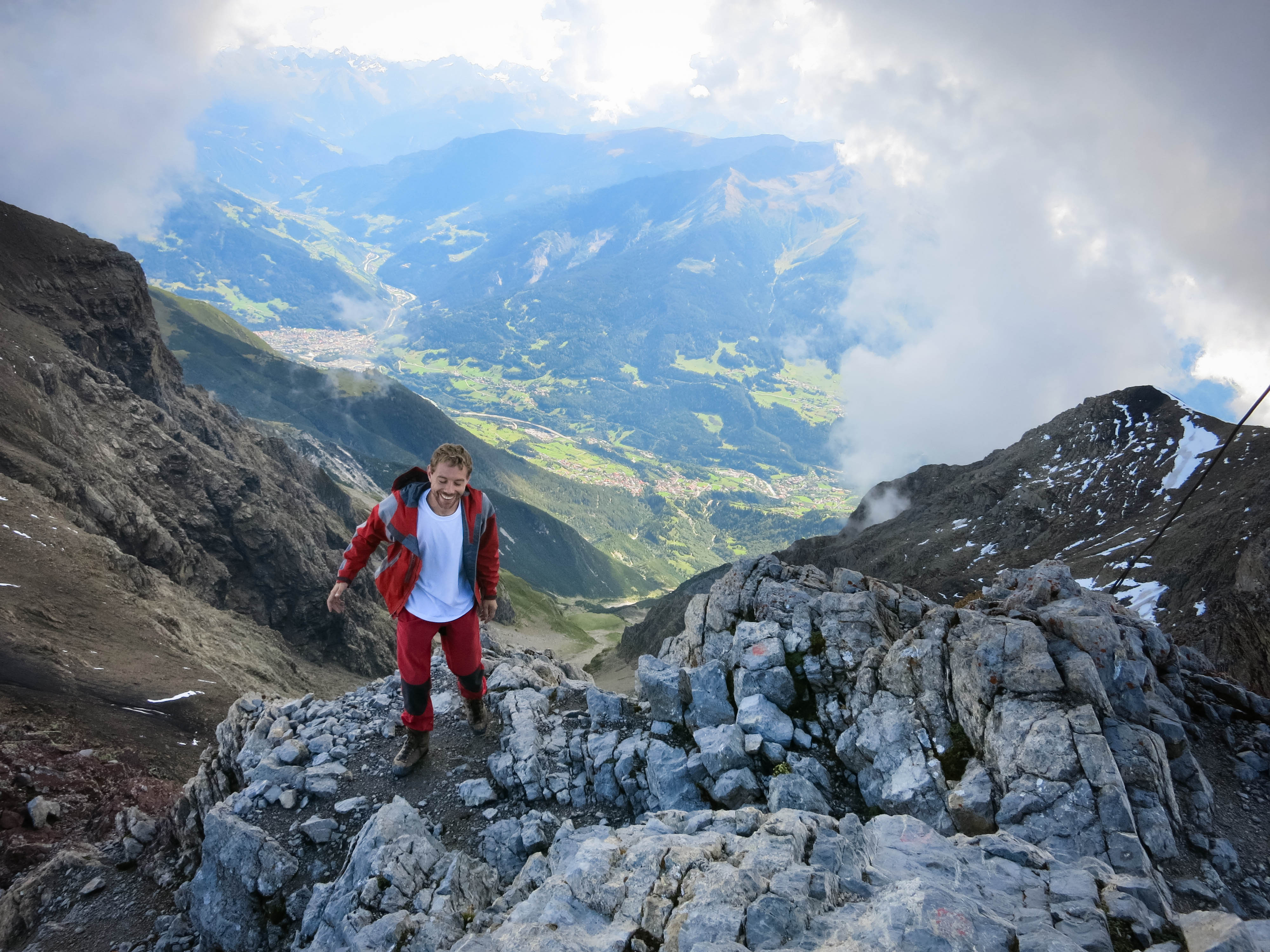
I caught up Flo and Uli in a series of tricky chimney moves. I had some misgivings about the route, thinking that even if the scrambling was enjoyable, it was risky in terms of available time. And plus, gee, it was getting dicey too. Uli disappeared around a corner, as the way never opened up to allow us to really take off and he had to keep searching. I decided I wanted to return and go the standard route, and the guys came with me. It’s unfortunate to turn around when you have your “nose” on something, but gosh, the clock was ticking!
Laughing about the Communist Kangaroo
A Sunday afternoon in September
More peaks
Foreign Lands
Uli on top
Flo and warm sun
We feel like this
After a visit with the Gods
Mountain Lake
Near the Memmingerhuette
We descended and made our way up the standard way, which was no pushover, especially at the start. We had to hand-over-hand up a slippery metal cable and icy rocks for 20 meters before we could walk again. Then we had a never-ending journey up cracks, corners, chimneys and faces. Now that we knew we would succeed, we enjoyed ourselves again.
On top the view was incredible. I love the look of these western Kalkalpen with the green valleys! We hung around a bit, amazed at how much we’d climbed so far and how much we still had to do. The journey back to the Wegscharte seemed to take forever, and I was one tired puppy at the pass.
We got a lift by finding a container of “Hugo” perfume sitting at the pass. We applied it liberally, hoping that some nice ladies would dine with us for our outdoor lunch at the Memminger Hütte. That fueled my march there, and again I went ahead listening to 65daysofstatic (my new favorite band). I really felt energized now! I was just whistling and dancing like a fool down the rocky trail.
At the hut, I grabbed a table. It was now 4:30, and I was glad they would still serve us a “lunch.” Some nice ladies came and sat by us...the Hugo is working! They were on a two week trek heading south to Merano. The view from the hut was beautiful, looking west to excellent peaks like the Freispitze. We took off our shoes and tried to rest up before the last leg after dinner.
View from the hut
To the Oberlahmsjoch
The Memmingerhuette
A toy valley
A friend at the Joch
Junction
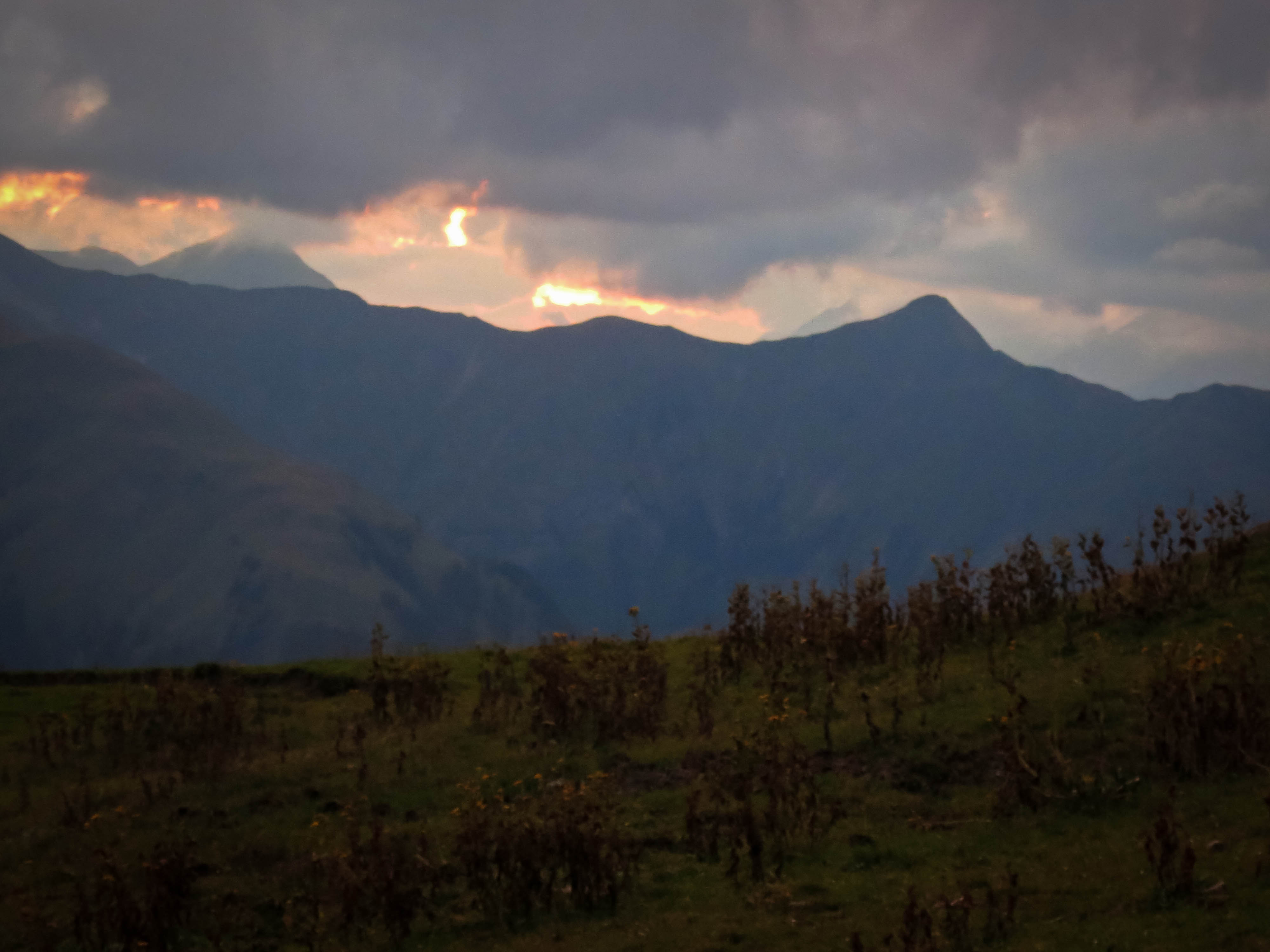
Weird sunset light
A peevish friend
Tropical evening
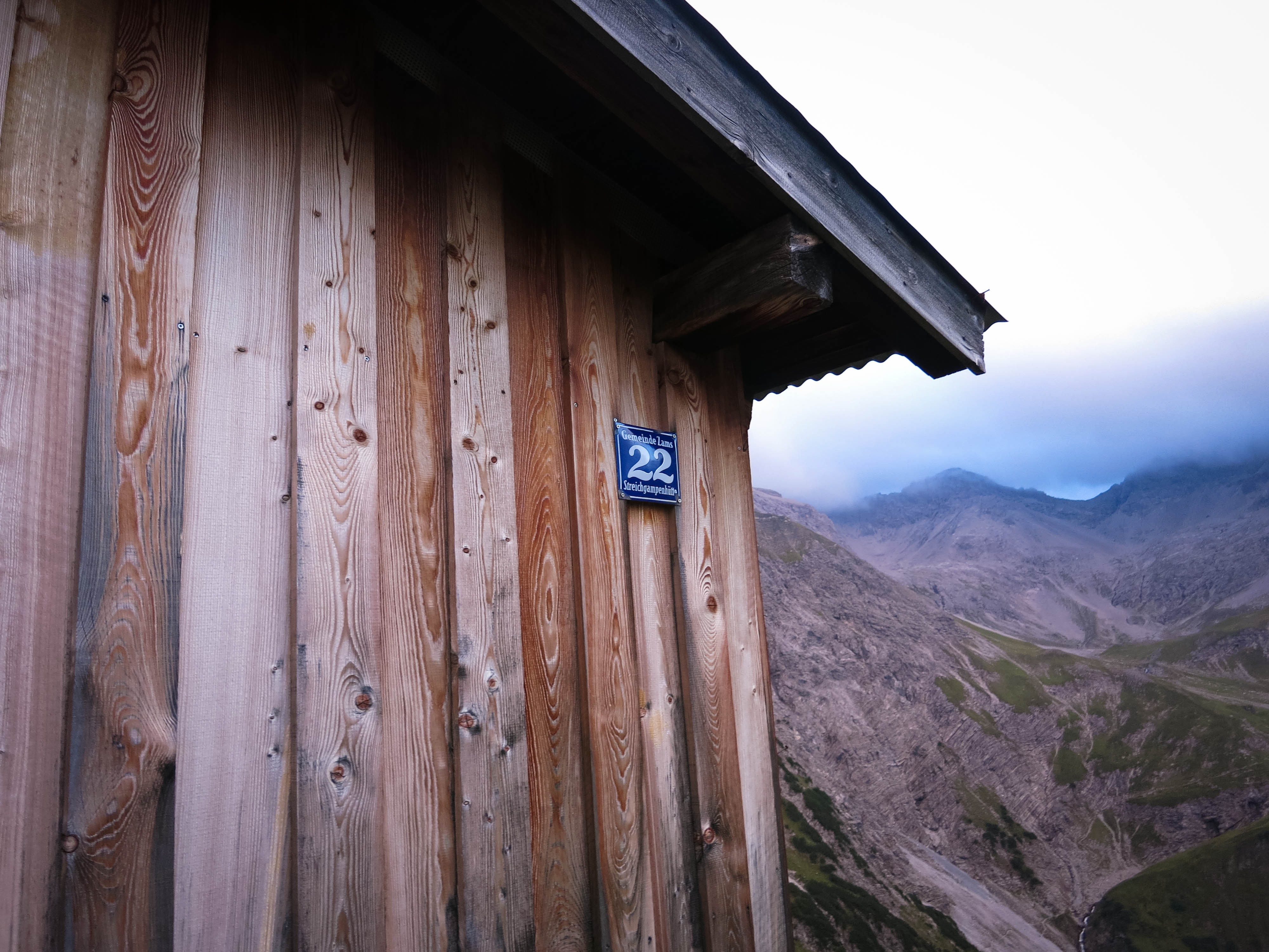
A rather high address
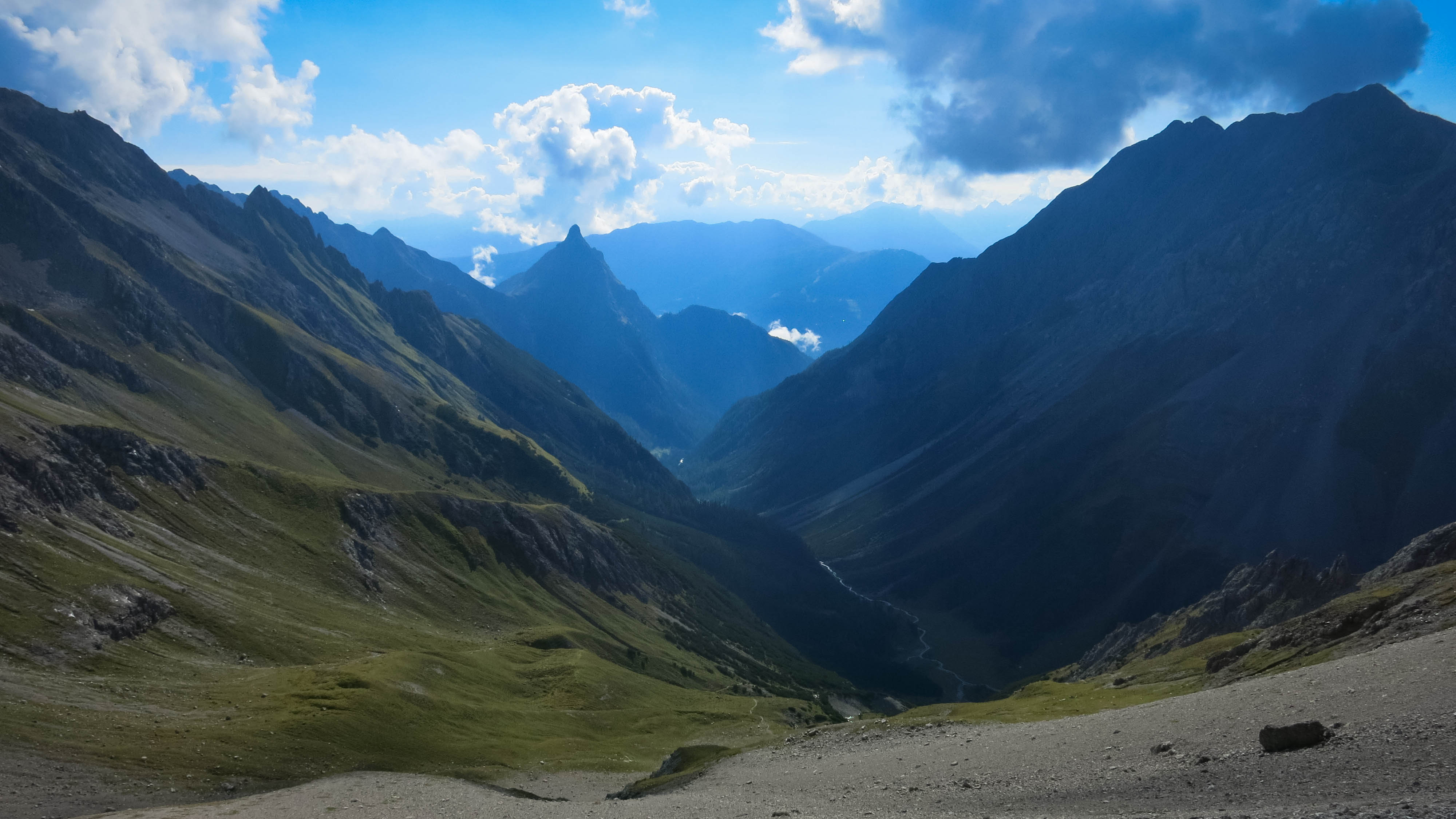
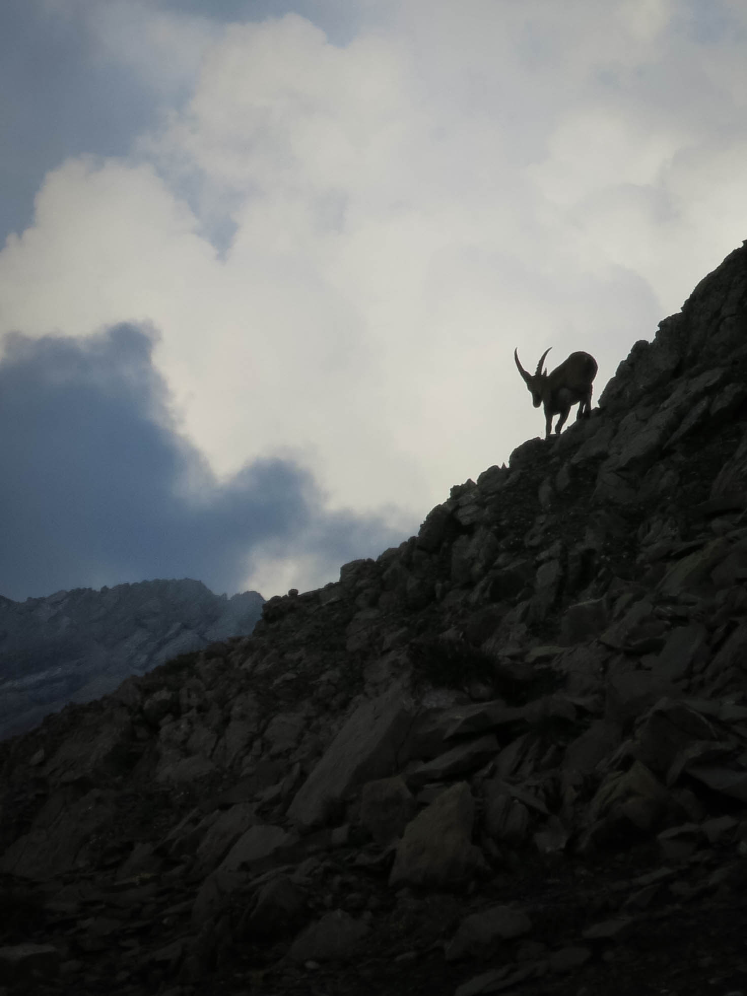
In early evening, we climbed slowly up to the Oberlahmsjoch (2505 m), for the first time bypassing an opportunity to climb a peak, the Oberlahmsspitze at only 2658 meters but a decent ways to the north from the pass. Flo was fascinated by Steinbock at the pass, urging me to take a dozen silhouette pictures. The light was fading, and it was tough to get a good one. We rambled down scree slopes into a great silent valley, the walls turning pink. Now we climbed to the Streichgampenjoch, passing an idyllic farmstead where we rested a few minutes.
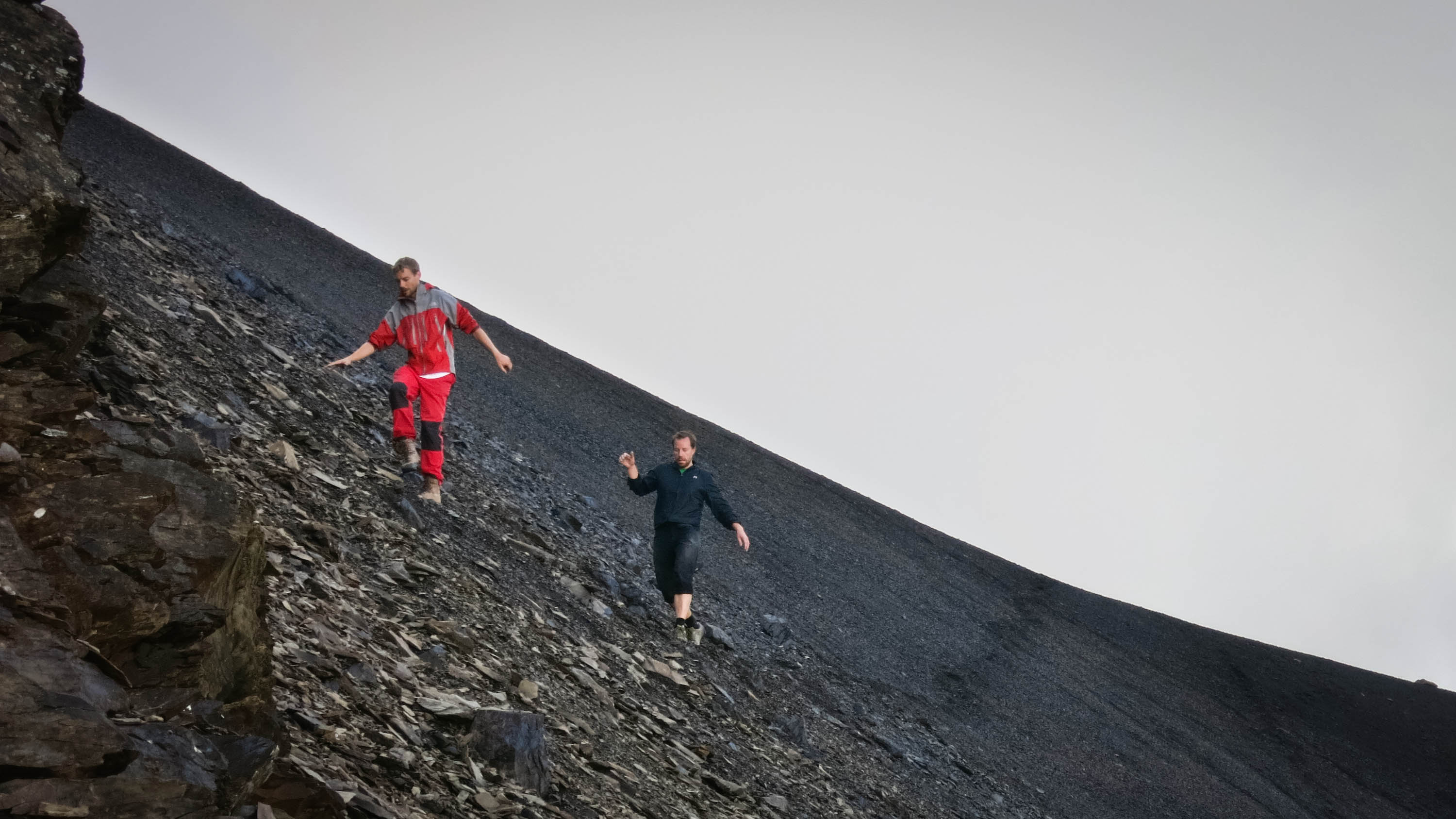
On to the Alblittjoch, a great cow and sheep migration path. As the light failed we fell down an ever steeper path that became highly uncomfortable as the hours went by. Uli and I suffered the most without hiking poles, feeling in the dark for holes on the steep path under great leaves and ferns. Slippery logs and mossy boulders were our companions in suffering.
After what felt like years, we hit the valley floor. I worried that we’d have trouble finding the trail and was so happy to find a cairn marking the river crossing in the darkness. Once we were on the other side of the river, we were home free, and caroused along in the moonlight, strangely light-footed.
The trail widened, eventually became a road. The town materialized out of the darkness. We walked by the mushroom-filled cemetery, found the car and drove away at 11 pm. We’d been on the move almost 14 hours, climbing 2300 meters and descending 3200 over 27 kilometers. For the weekend, we’d gone up and down 4800 meters. Not bad!
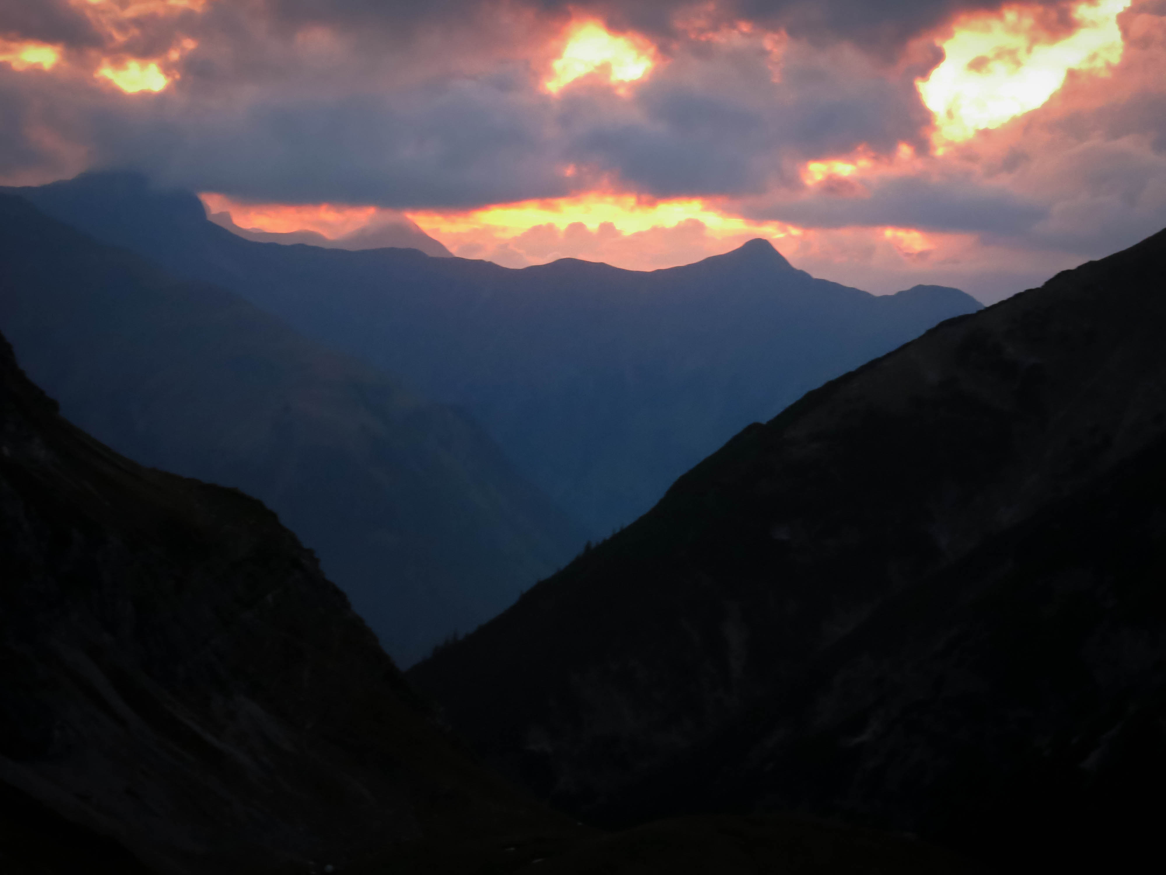
The day ends in fire...
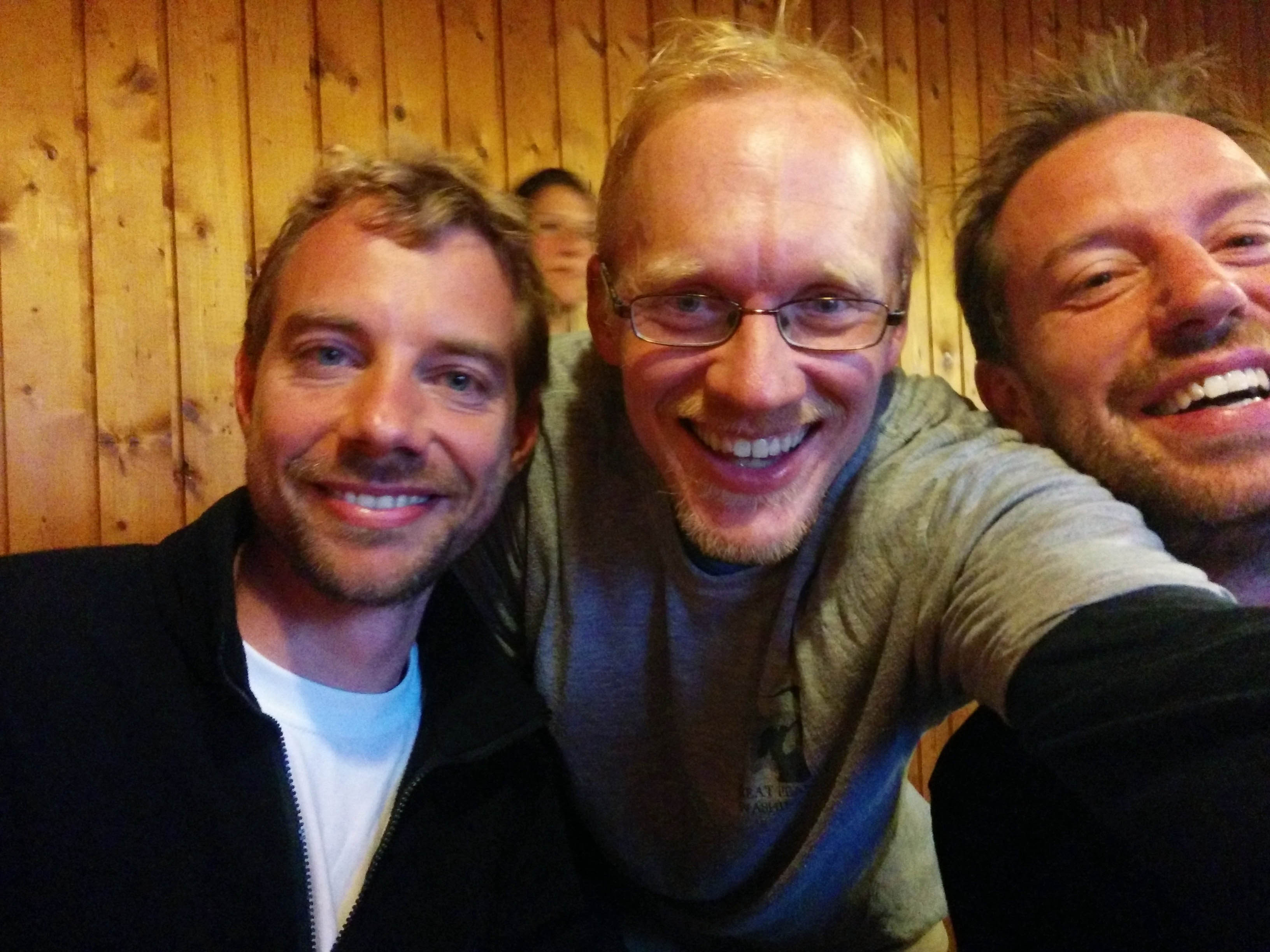
What a great trip! The hours of walking, the continual new vistas and passes. It was fantastic. And Uli and Flo made the process effortless, light and fun.