A few hikes
Friends: Danno, CamilloLocation: Pendling, Wendelstein, Breitenstein, Höhlensteinhaus
Elevation gain: 4500m = 2000m + 1000m + 1500m
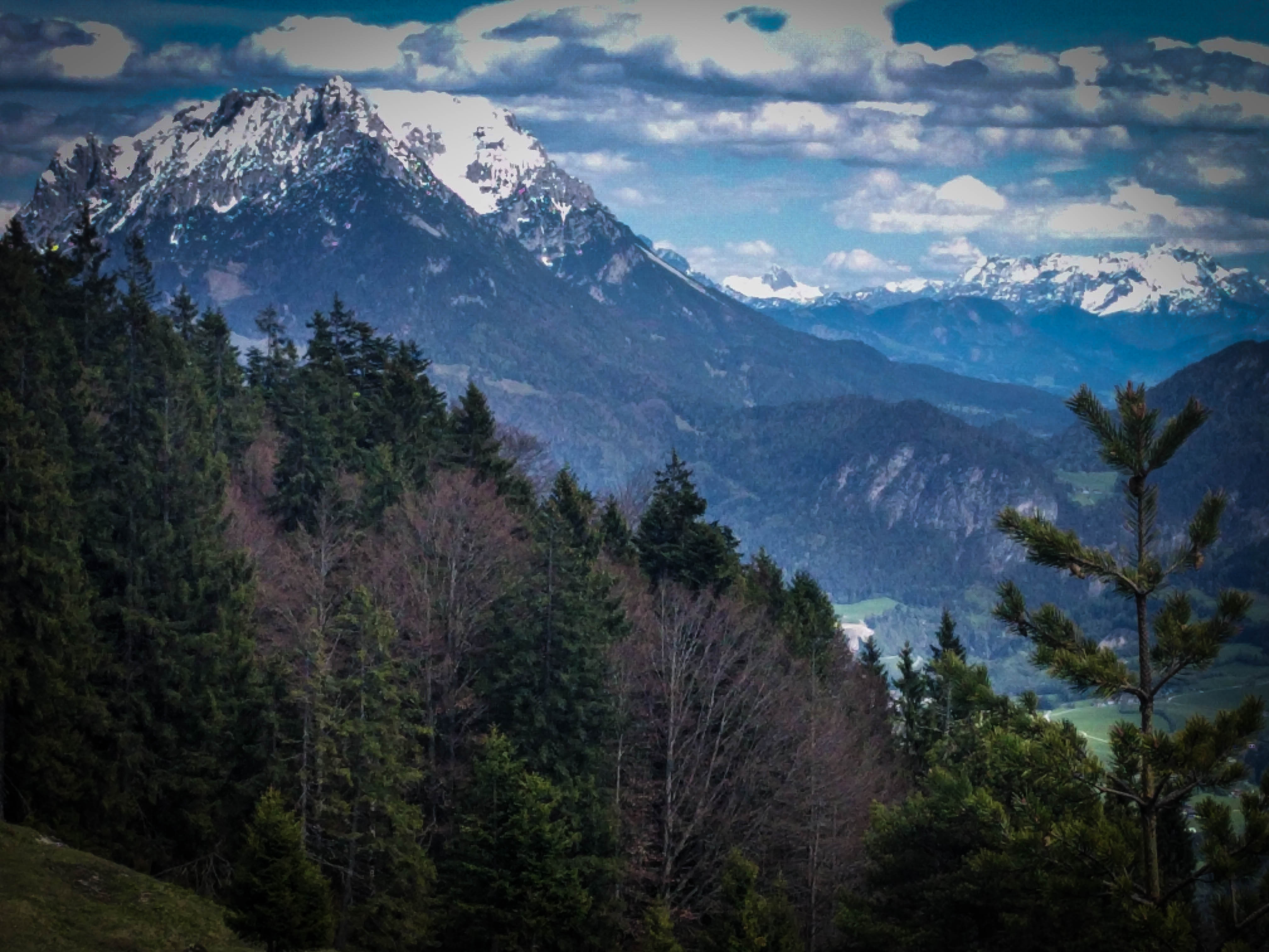
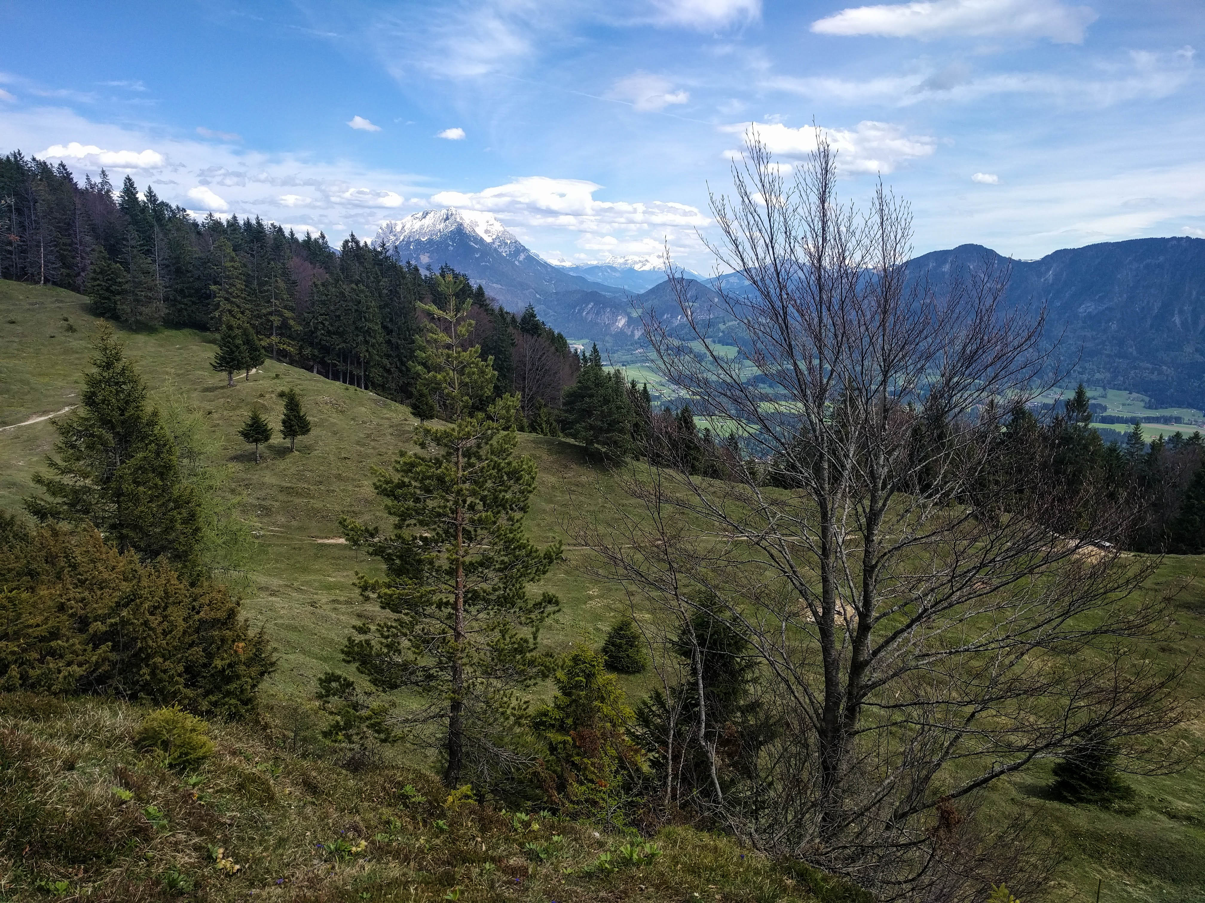
A view to the still-snowy Wilder Kaiser.
We had some really cold and snowy weather here at the end of April, and it's stayed unseasonably cold into May. No longer excited about "North Faces," I just wanted to get some exercise, and contented myself with a handful of hikes.
I even took a day off work for one of these! So much rain and snow...finally on a Thursday we had good weather so I drove out to Kufstein with the vague idea of pursuing two hikes up hills on the west side of town.
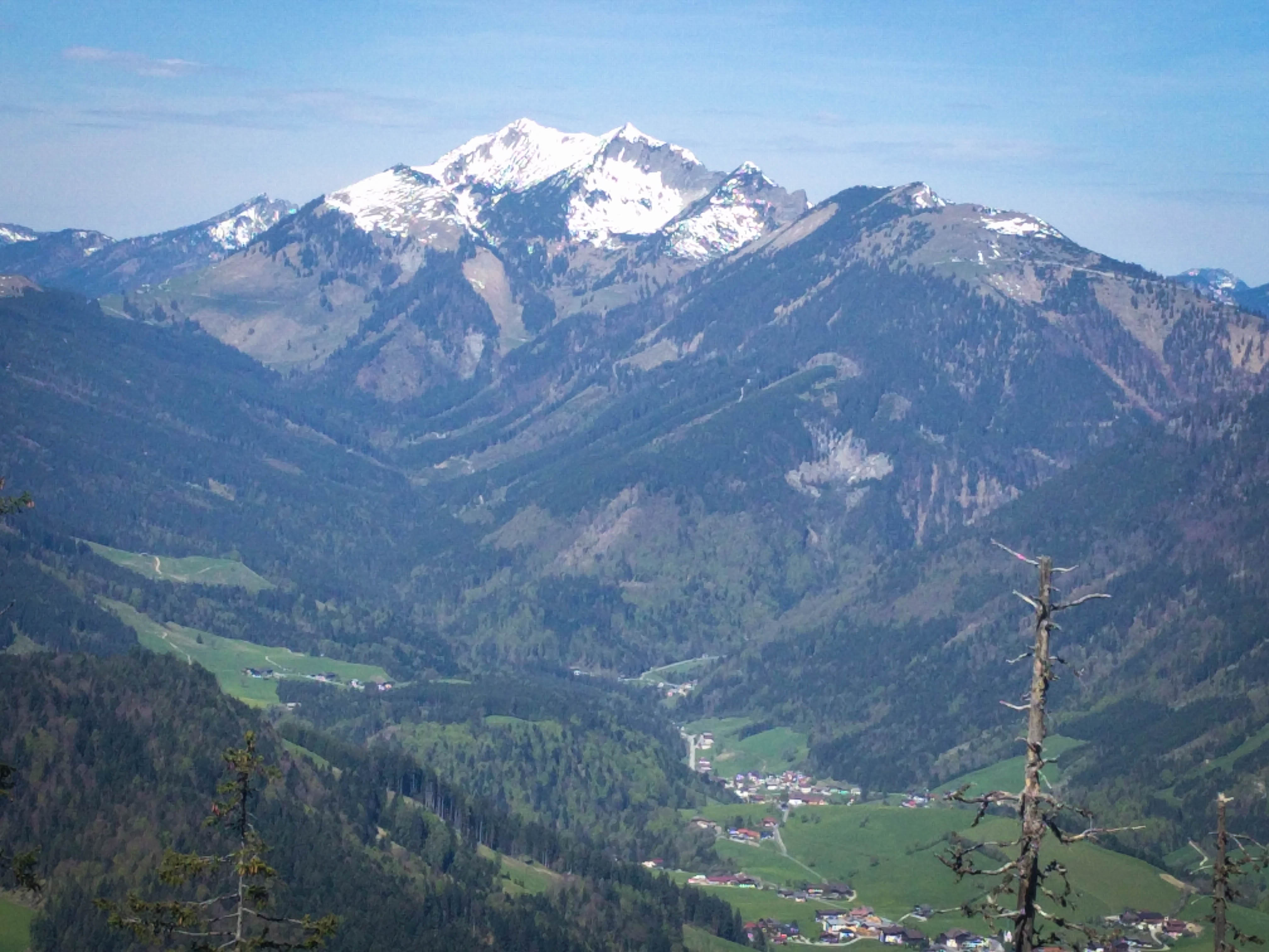
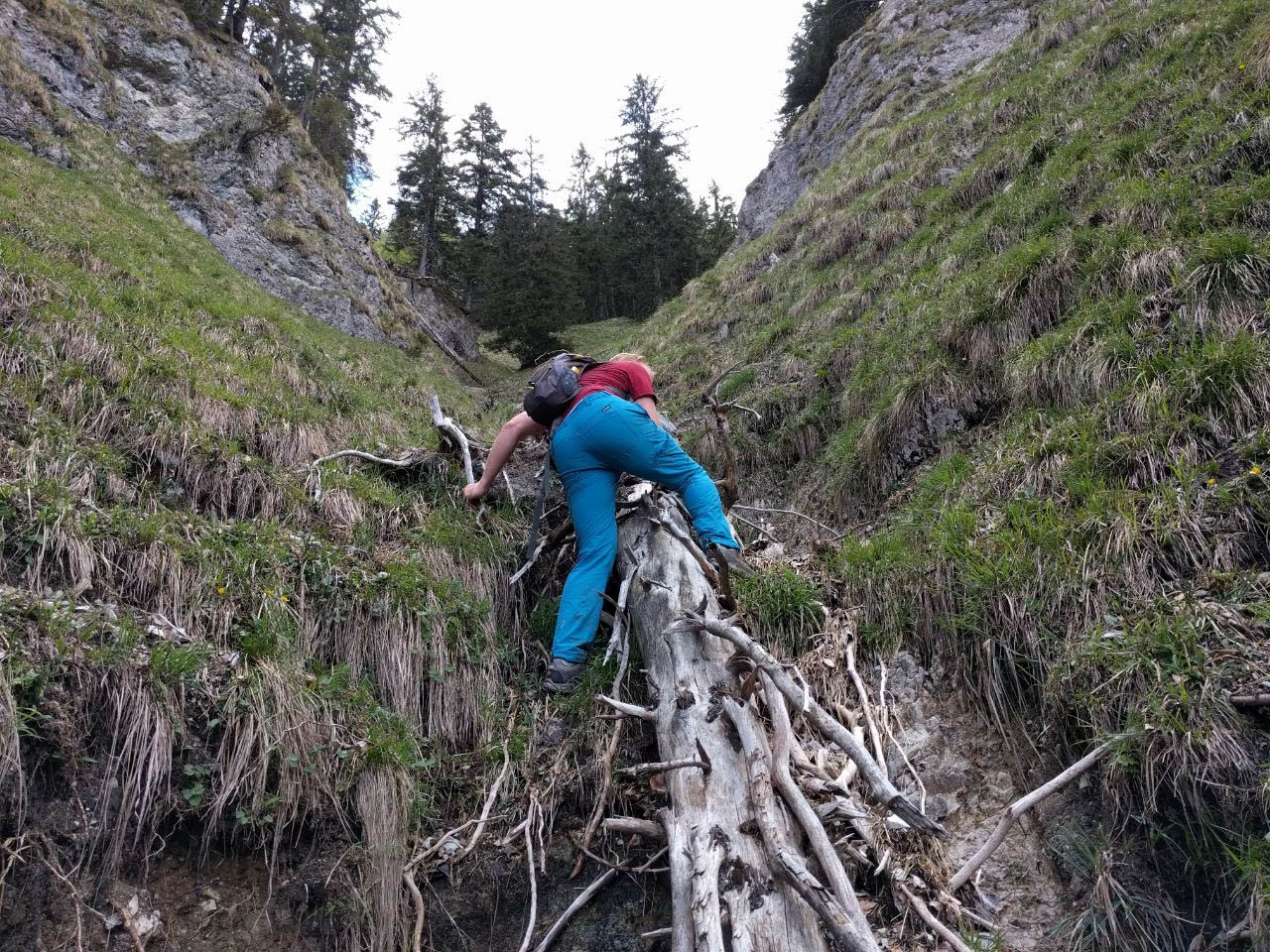
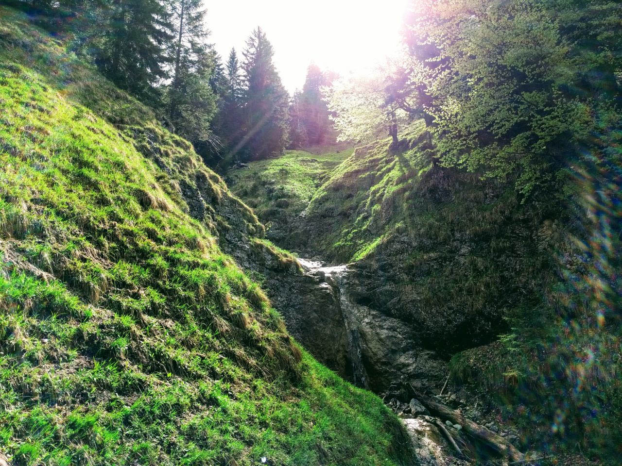
The first was a mountain called Pendling, which has a hut prominently placed on top. I parked at a lake and hiked up the "Jägersteig" to the summit. Really nice trail, quite steep! Near the end a few difficulties with a downed tree but nothing to get excited about.
The Sonnwendjoch
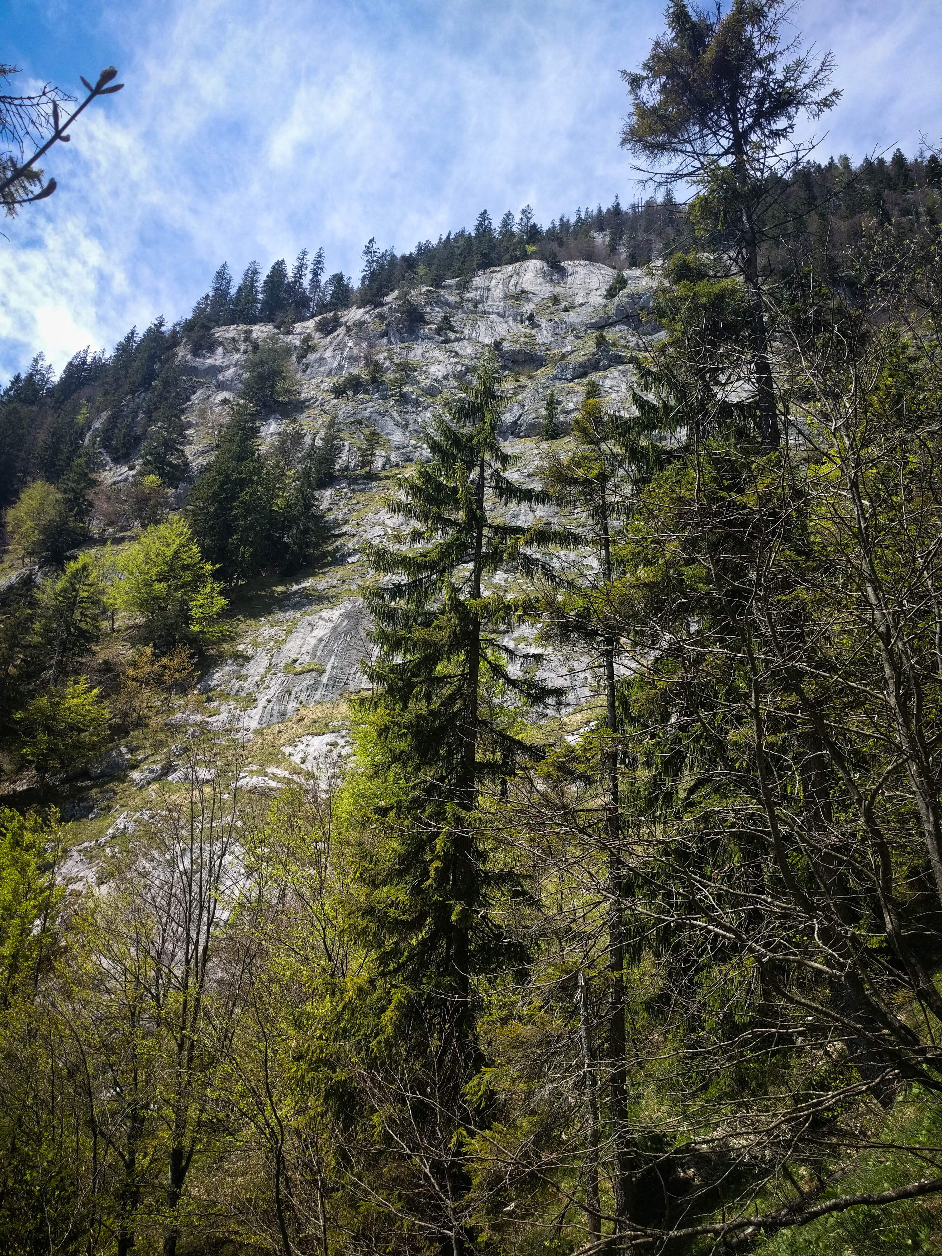
Interesting slabs
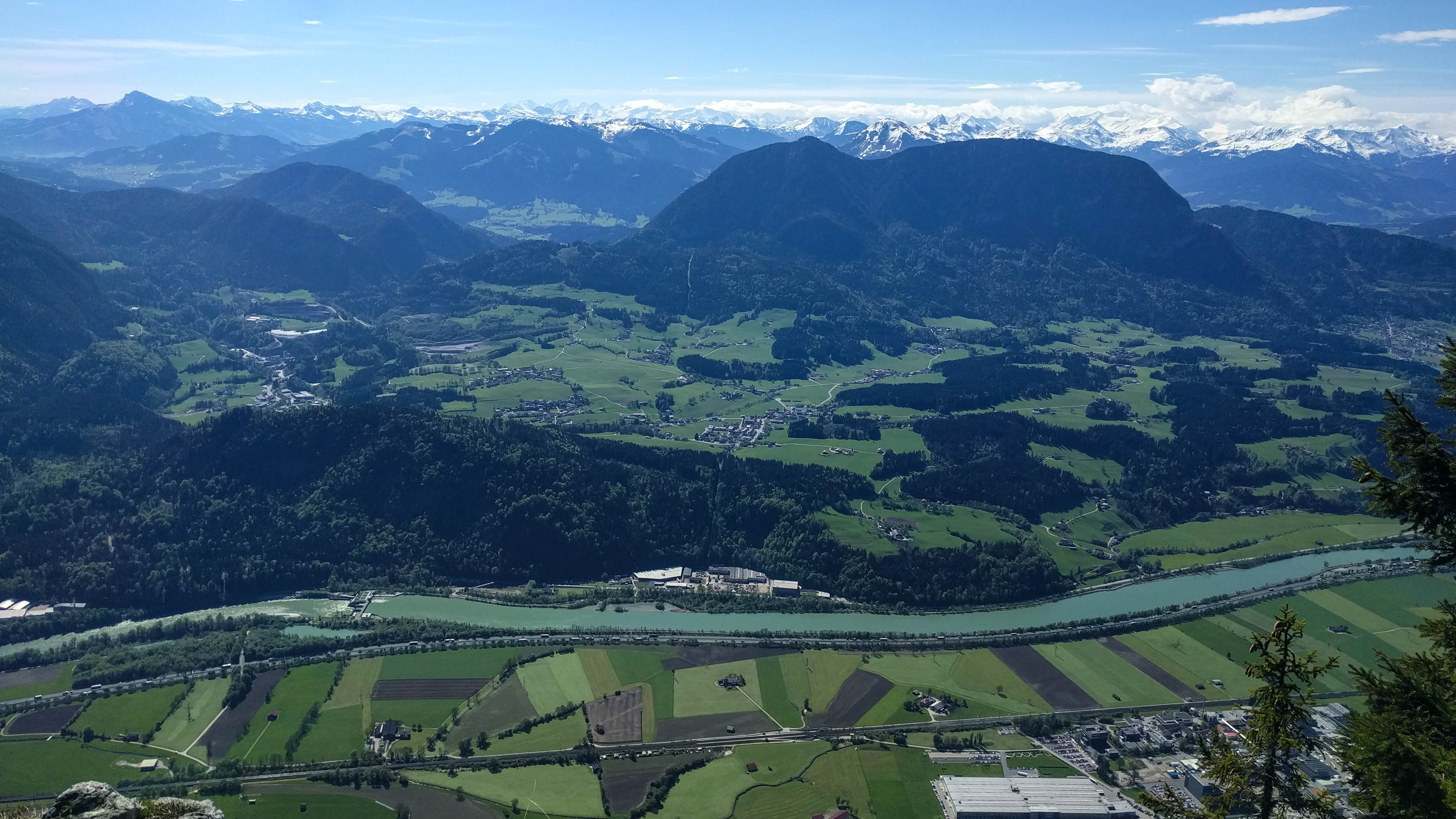
Down to the Inn
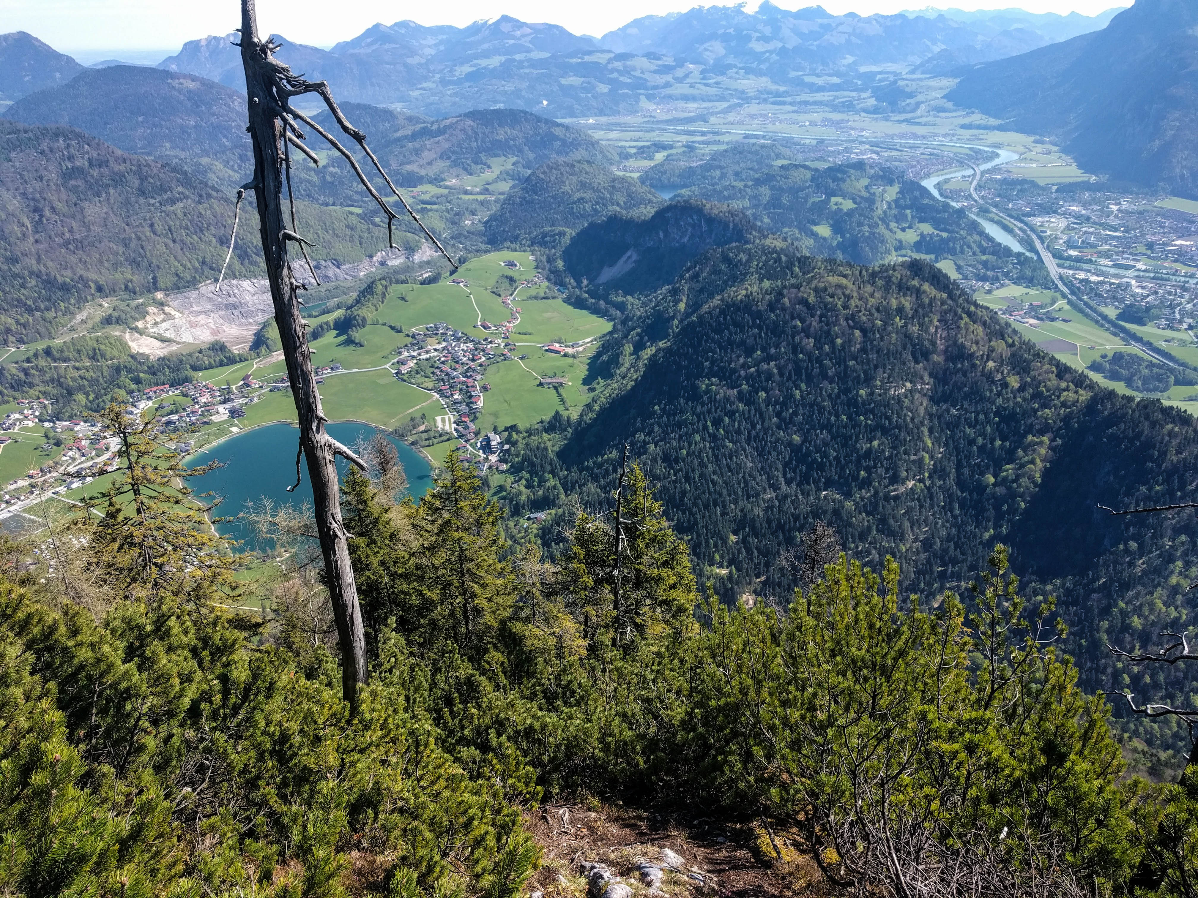
On the Jägersteig
I ate some food at the hut there, and hiked down the normal way. I was listening to a fascinating audiobook about Teddy Roosevelt in the Amazon. Just amazing stuff.
Around the Hölensteinhaus
At the Hölensteinhaus
Us on Pendling
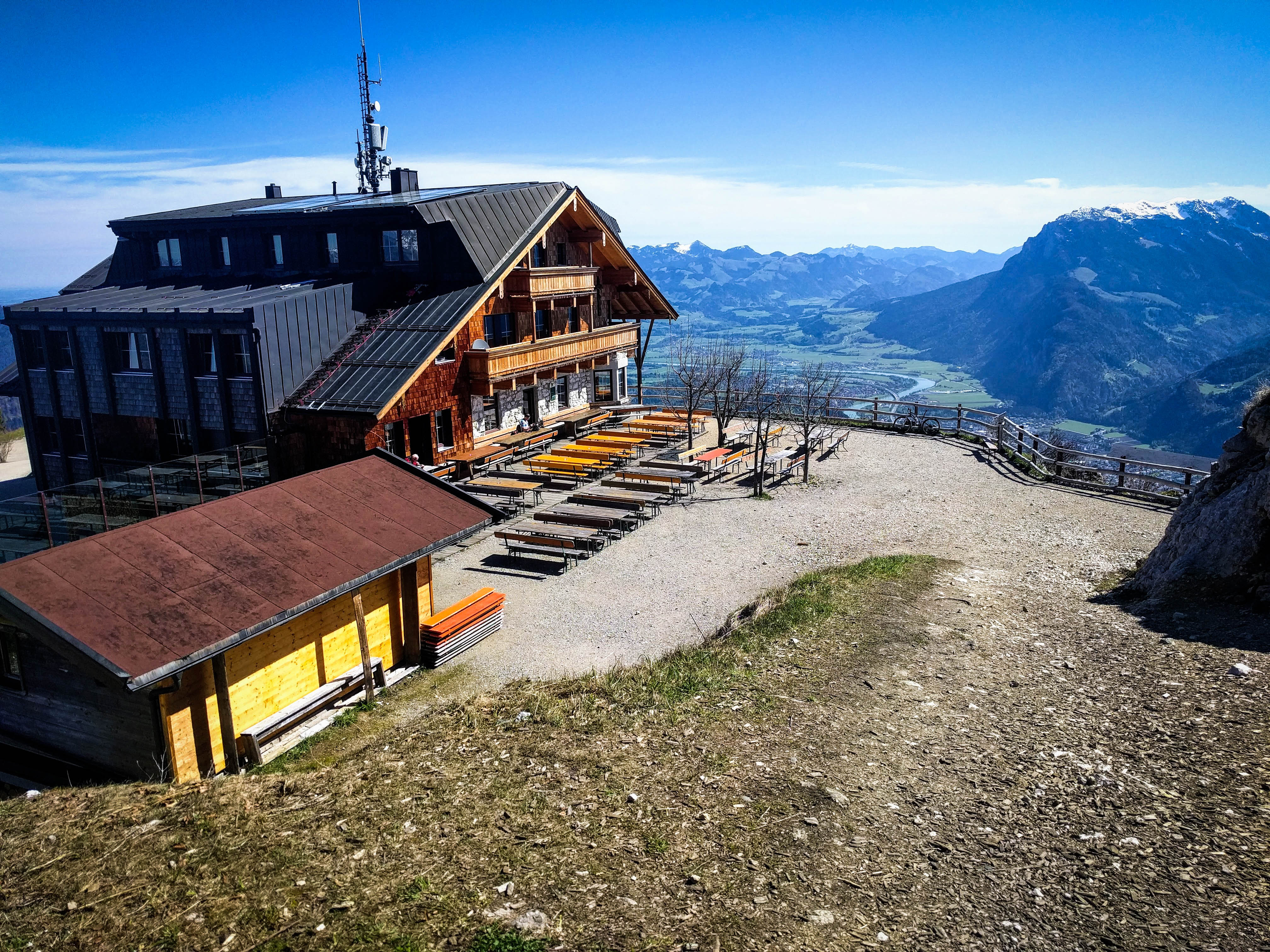
The Pendlinghaus
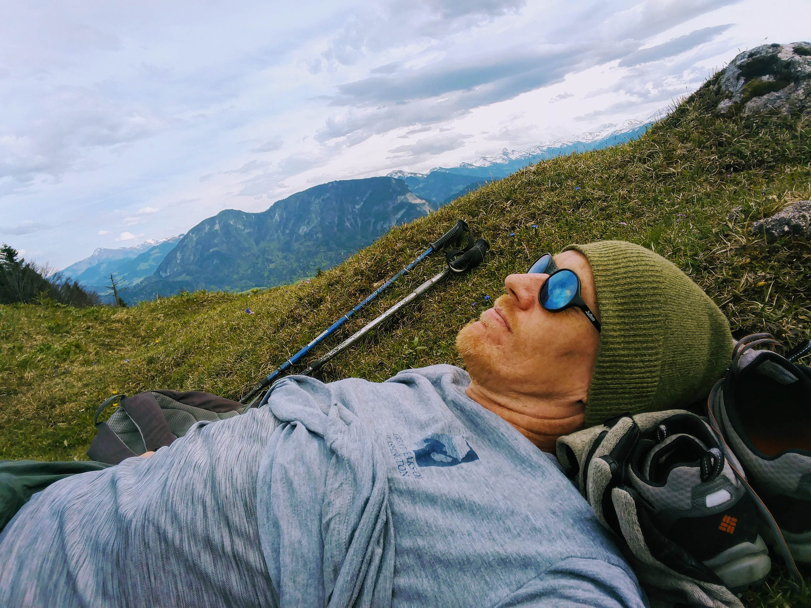
Nap near the Feuerköpfl
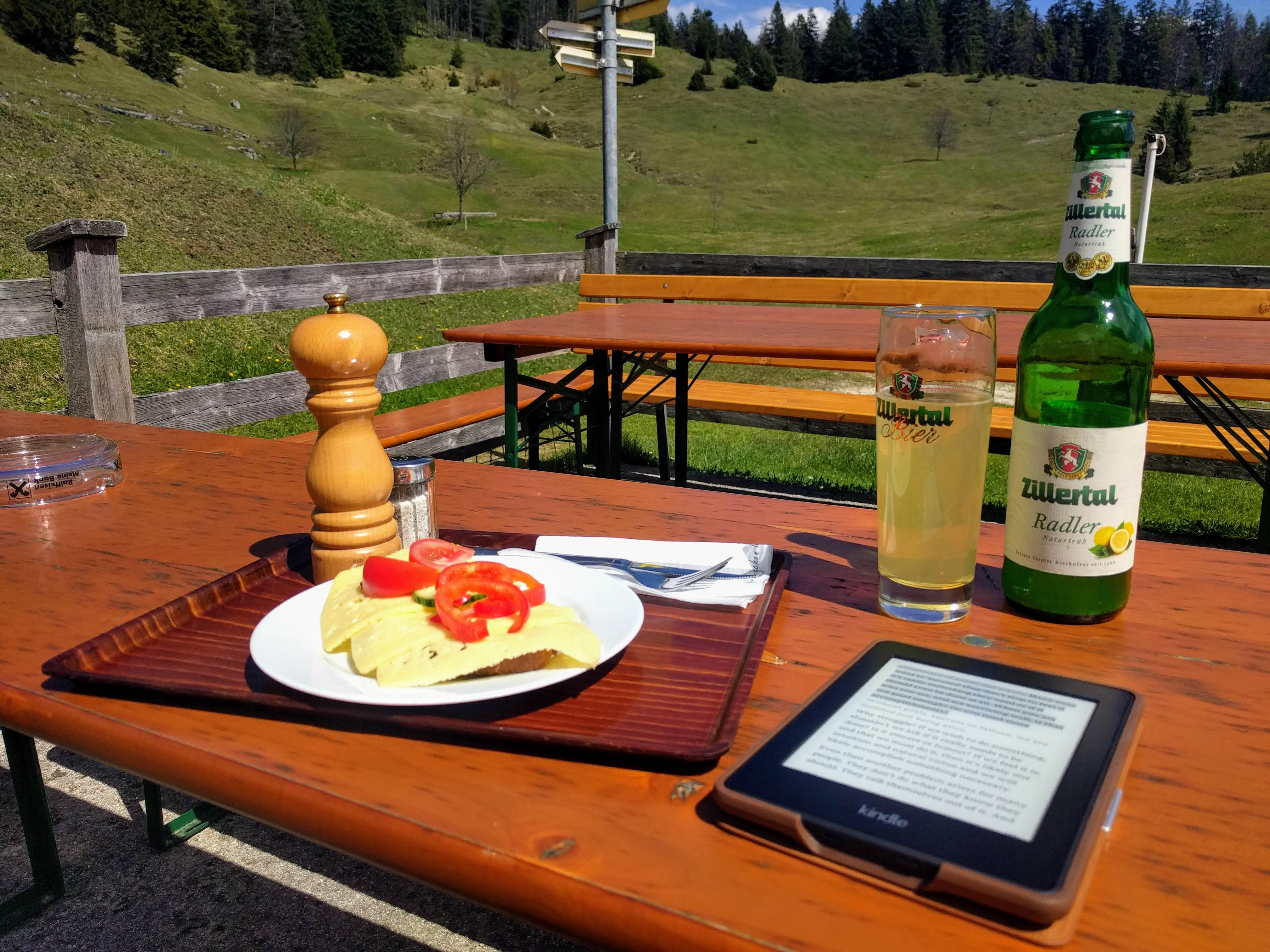
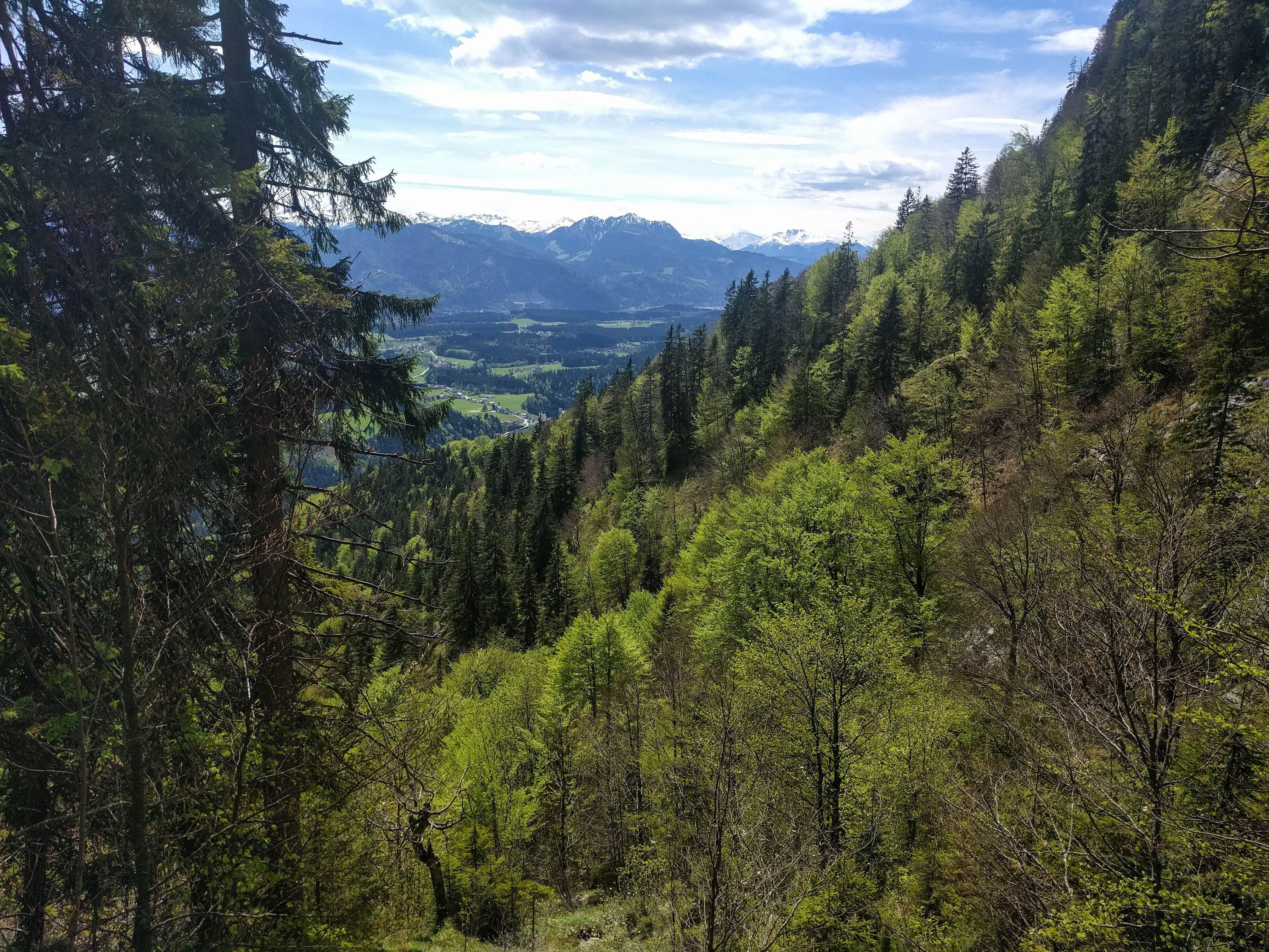
After a brief rest at the car I drove about a mile down the road to Niederbreitenbach, parked and took the steepest way up to the Höhlensteinhaus, enjoying Käsebrot and a Radler. After some reading and a nap in the meadow, I hiked back down, first somewhat east of my ascent route, then meeting it again about halfway down.
I did see a solo rock climber along the way, climbing and then abseiling from a great slab. Interesting!
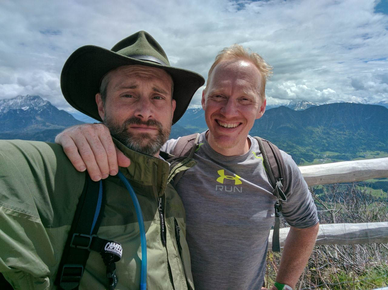
Two days later I was back in the area with Danno. We had a great ramble, repeating my hike up Pendling from Thursday. We had an uncertain weather forecast and were just motivated for some elevation. It's a great hike to repeat!
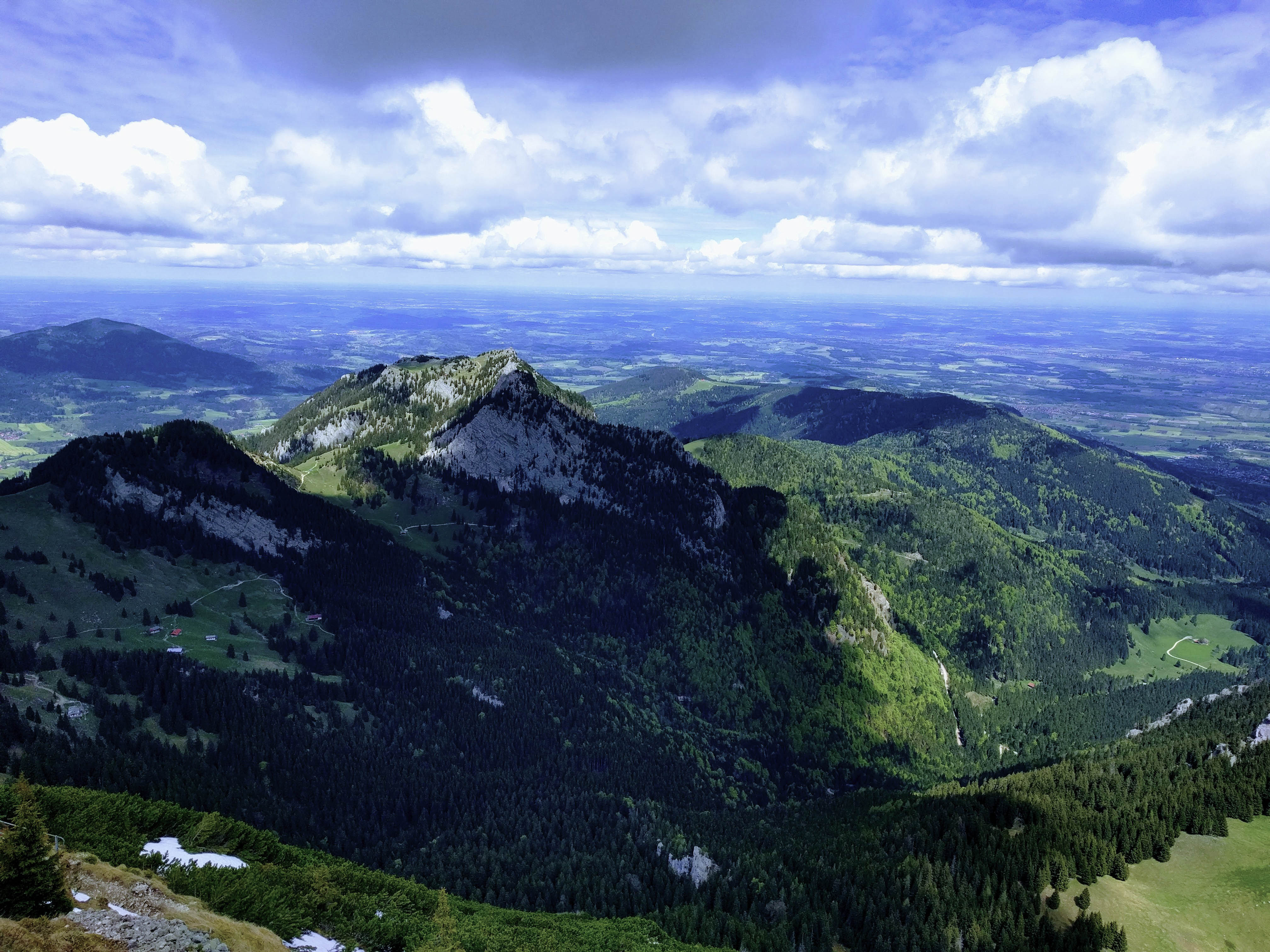
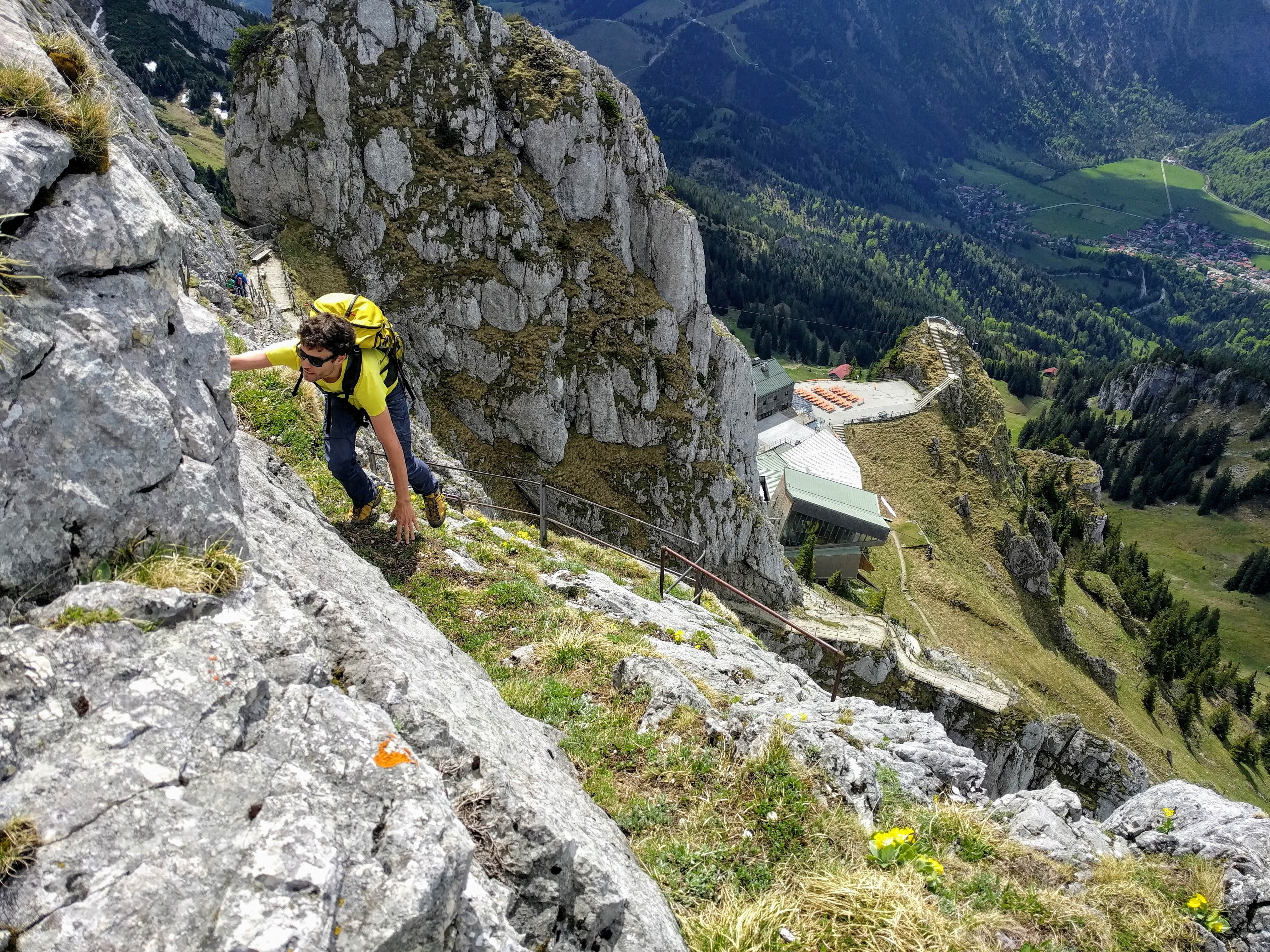
The following Saturday, Camillo and I wanted to use decent weather, so we rode the BOB train to Bayrischzell to do the Wendelstein / Breitenstein combo I like. But we decided to leave the train a stop early, at the lift station for the funicular that reaches the restaurant near the summit. I'd always wanted to know how to climb the peak from there, as the map shows a confusing welter of roads that spend far too much time traversing for my taste.
Steep game trails
On Breitenstein
Saturated Breitenstein!
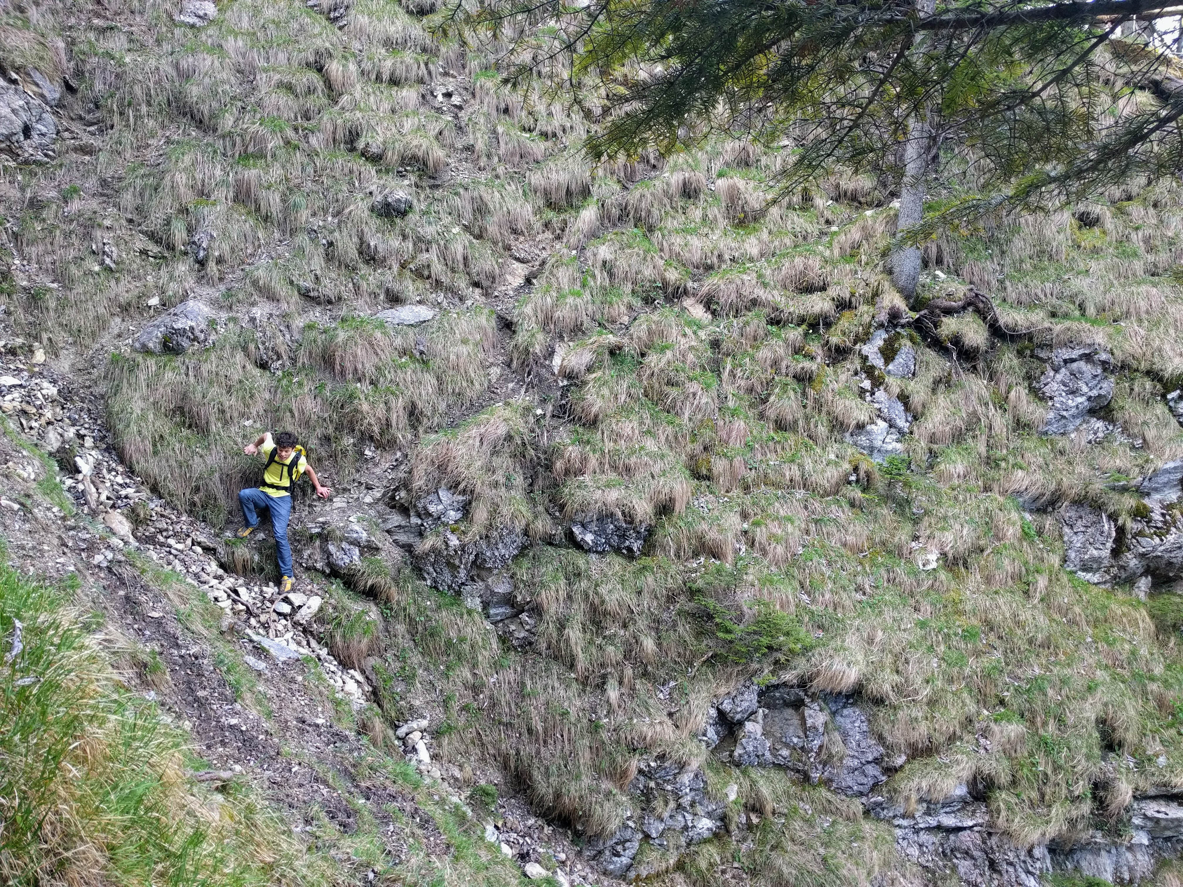
With OpenStreetMap, we were able to piece together a network of road and trail that was pretty direct. At about 1150 meters, we decided to plunge into the forest in the great basin southwest of the Wendelstein summit, vaguely adhering to the line of the funicular we saw occasionally through the trees. This made for a 2 kilometer journey off trail. We stuck to a level traverse, using faint game trails to ease our path. We crossed one major basin decending from cliffs on our right, then climbed down about 50 meters into the base of the next one. From here, we followed a dry stream bed up. It elegantly brought us into forest at around 1400 meters, where we soon met a trail traversing in from the Spitzingalm. Nice!
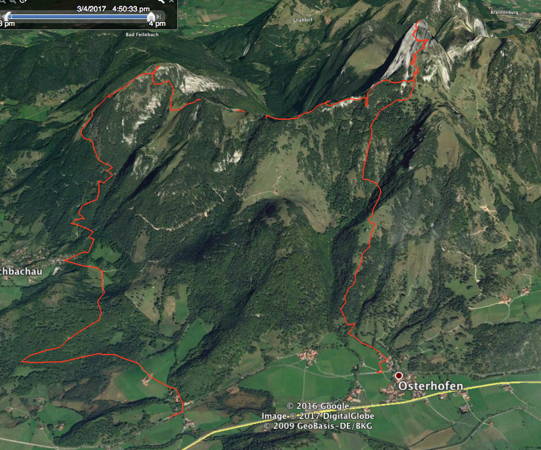
Our Wendelstein hike
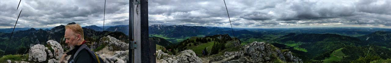
From here we took the usual path to the summit, earning the obligatory "schimpfen" from an admirably old woman who saw us using our hands on rocks in the final meters. The weather was holding nicely. After a drink in the restaurant we set off for Breitenstein, leaving the trail to stick to the ridge crest. I erroneously led us a ways down on the south side of the ridge, but we soon discovered our error and reset. After a final scramble, we abandoned the ridge for a road on the right side, and continued uneventfully to the summit. Though we were getting tired!
We admired the forests around, declared ourselves well-pleased, and set off down from the summit in a westerly direction across a beautiful meadow. Now enjoying our scrambles away from the trail, we pieced our way down a clear-cut (yes, we have them here too), to meet an old road which led us south back into the great V-shaped valley most people use to reach the Breitenstein.
Wrasslin'
Steep trail
Our "trail"
Near the top
In order to meet the train, we needed to continue south on pleasant forest roads to near Geitau. We arrived 10 minutes before the next train back to Munich -- most capital!
Throughout our day we discussed technology, work, human nature, the notion of overshoot and collapse, things we like and dislike. Camillo, still full of energy, undertook a long and fast bike ride on the return to Munich, while I retreated to couches!
A fun bunch of days -- low key, with the forests as their own reward.