Narrenkopf
Friends: Only God!Location: Narrenkopf
Elevation gain: 1400m = 1400m
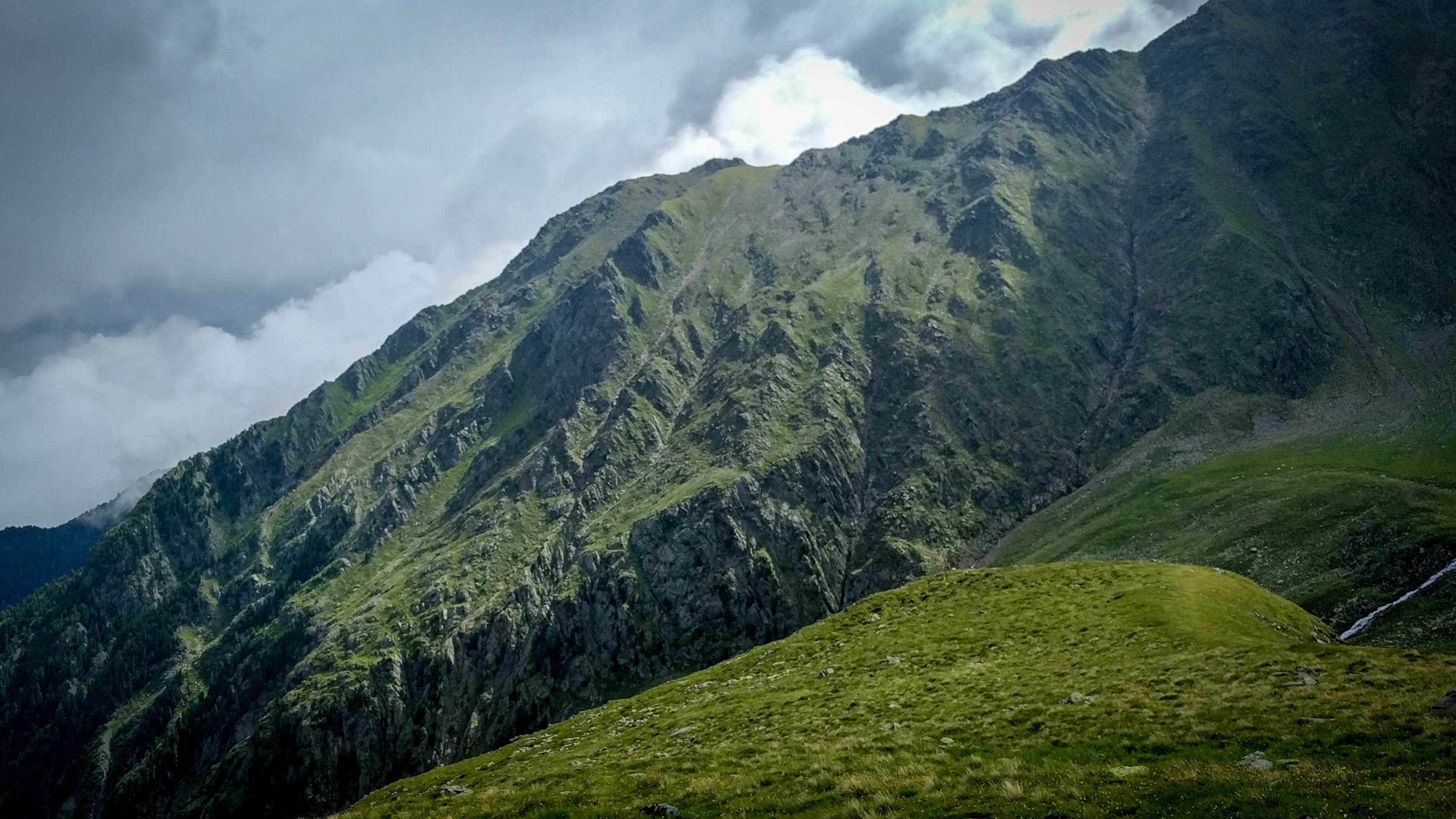
The Narrenkopf
I had a day free to hike, and wanted to do something pretty long. I decided to start from the town of Rietz and climb the north slope of the Sellrain Mountains to reach the Narrenkopf and hopefully Hocheder above it.
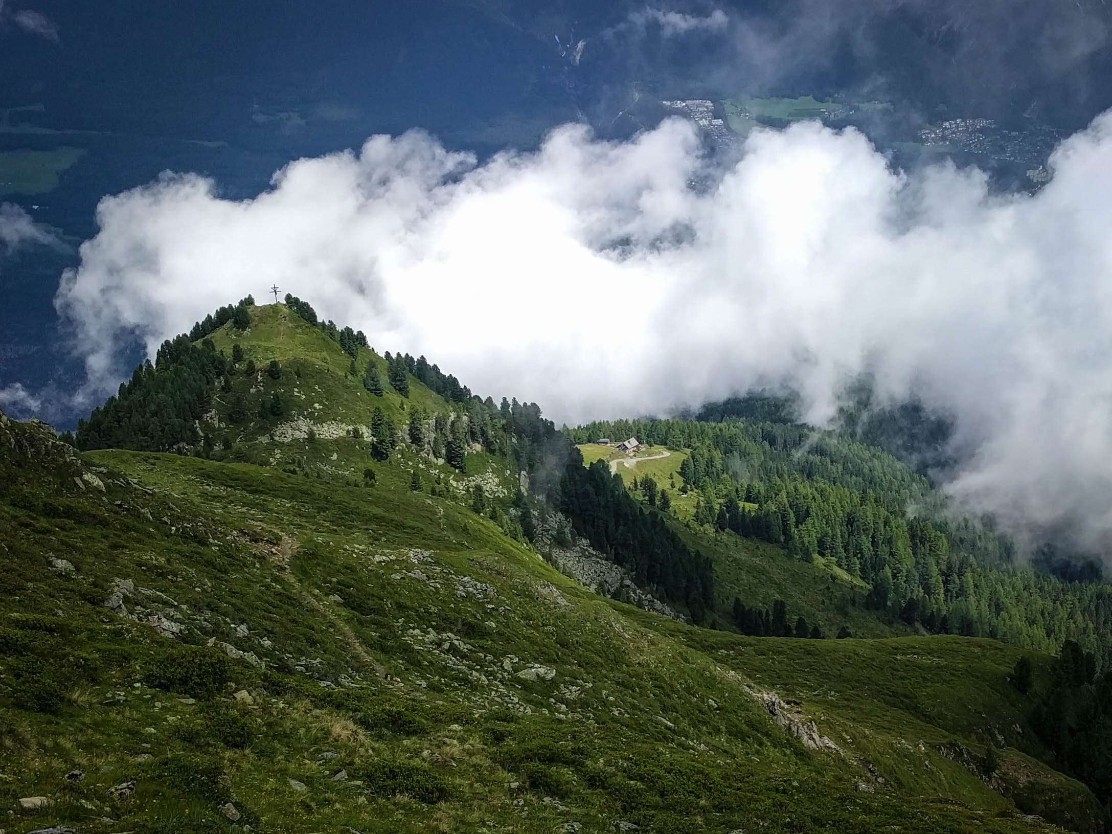
On the Narrenkopf
Fun meadow with a bench!
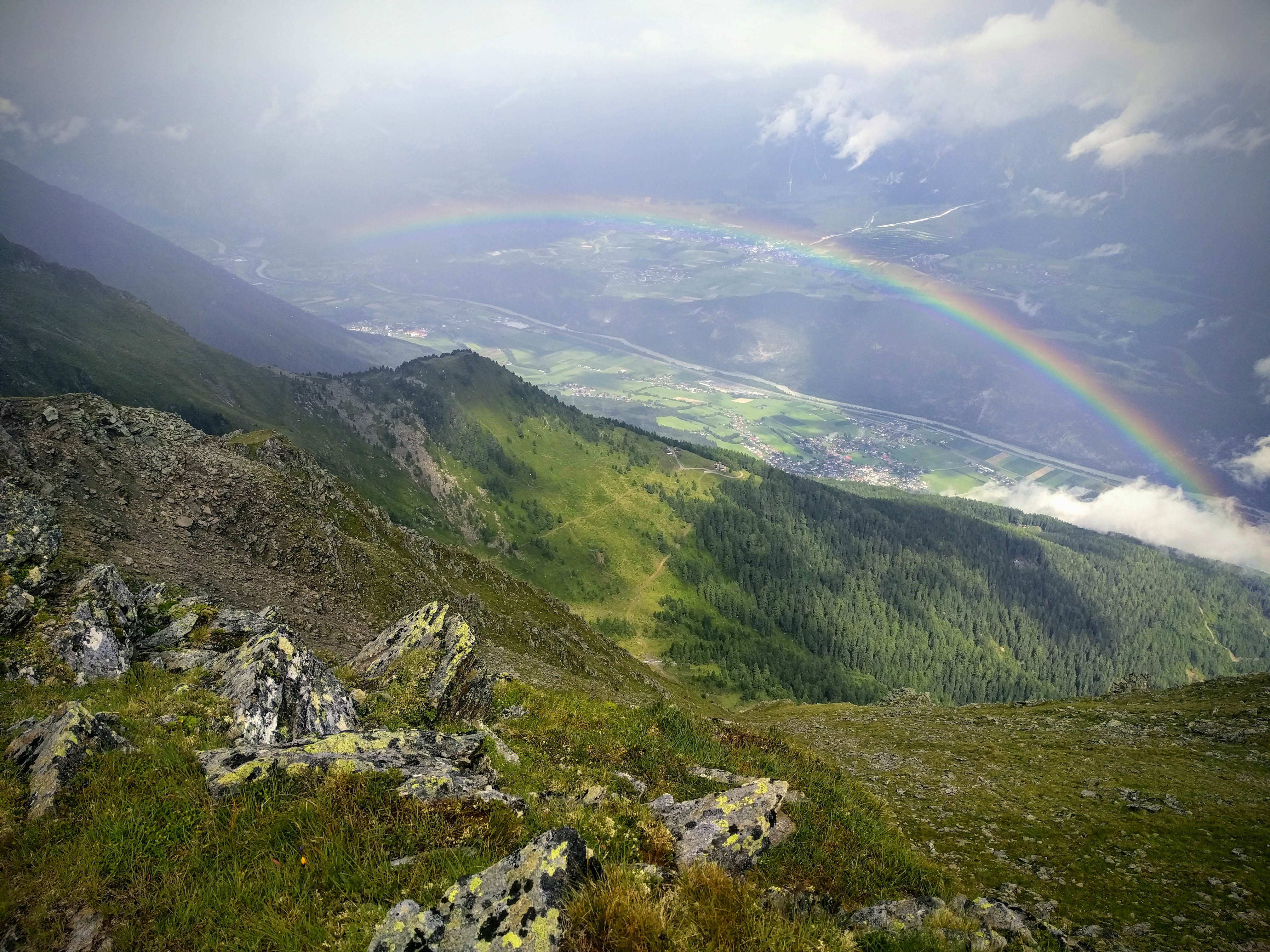
View to Rietz from the Angeralm
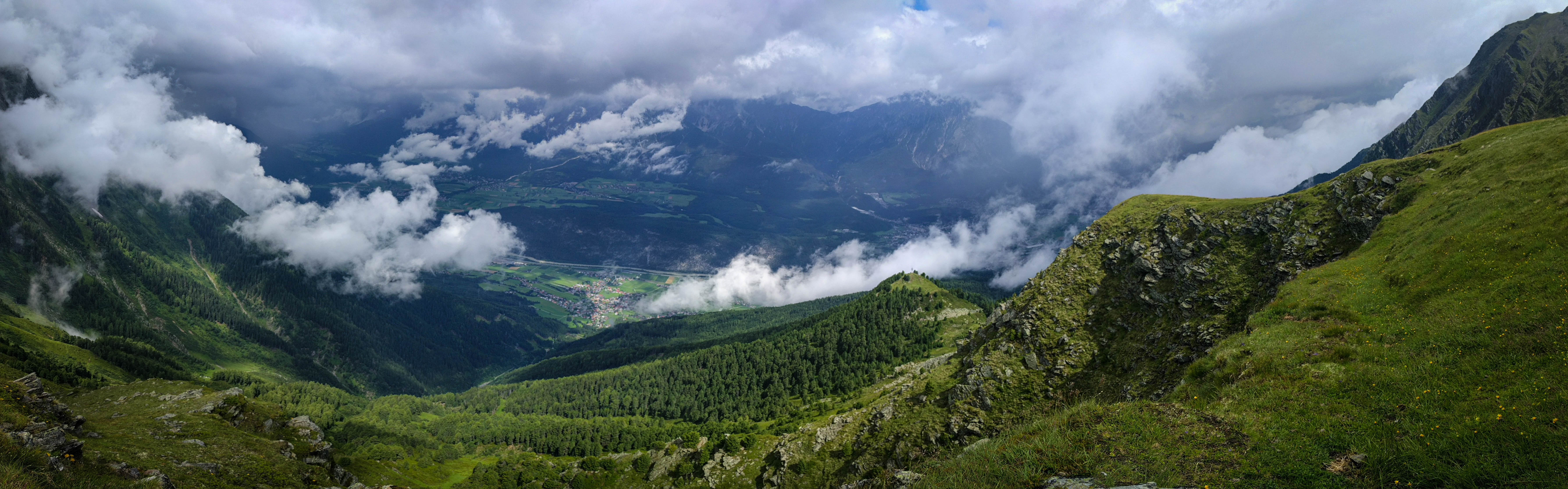
Meadow above the Angersee
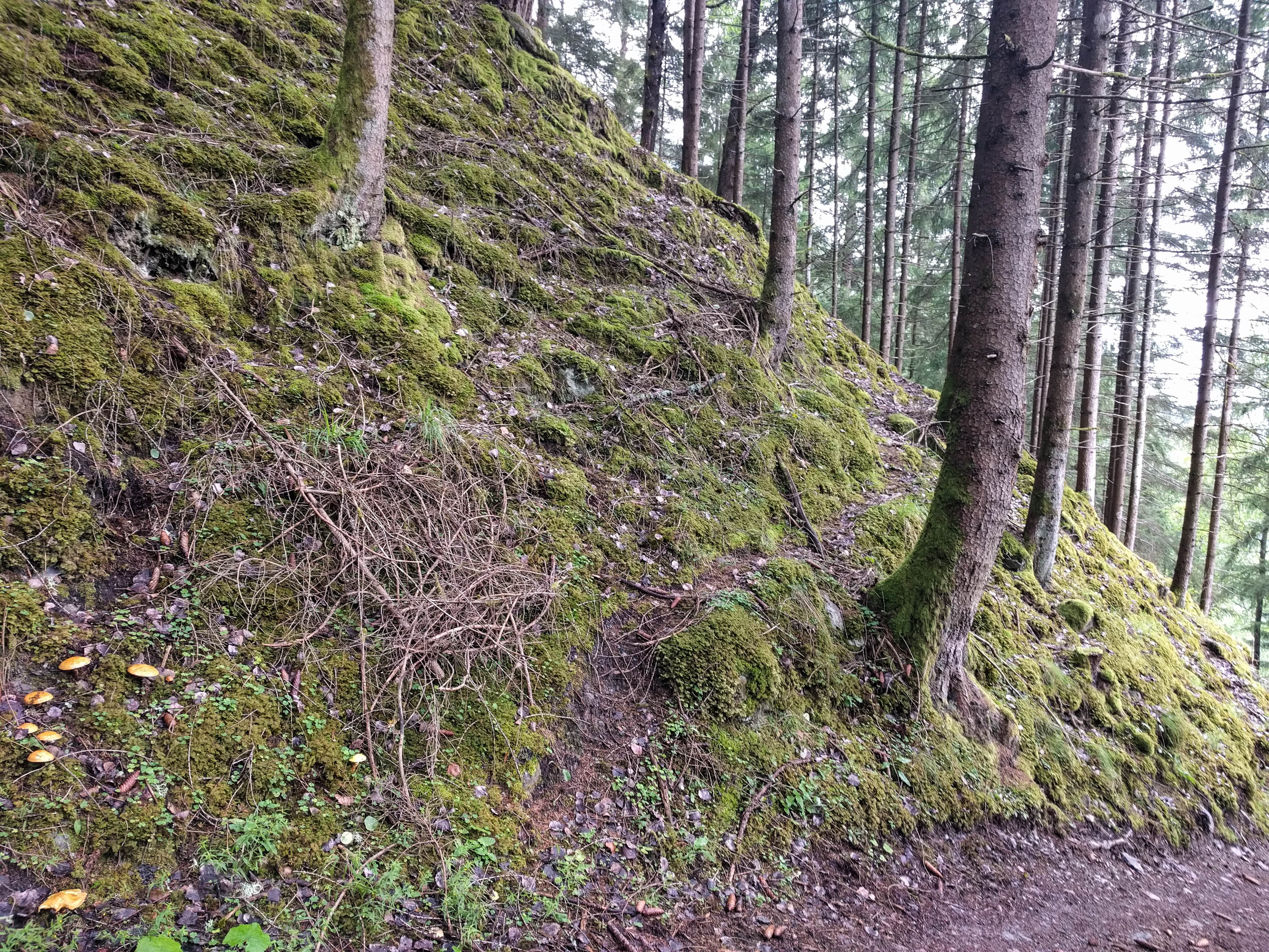
The journey started in typically ugly forest slash along the lower Rietzer Bach. Tiring of roads, I decided to just follow a ridge up for about 500 meters elevation gain to reach a broad road that crosses the ridge below the Peter-Anich Hütte. This was very interesting. I like the subtle joy of routefinding in a steep forest.
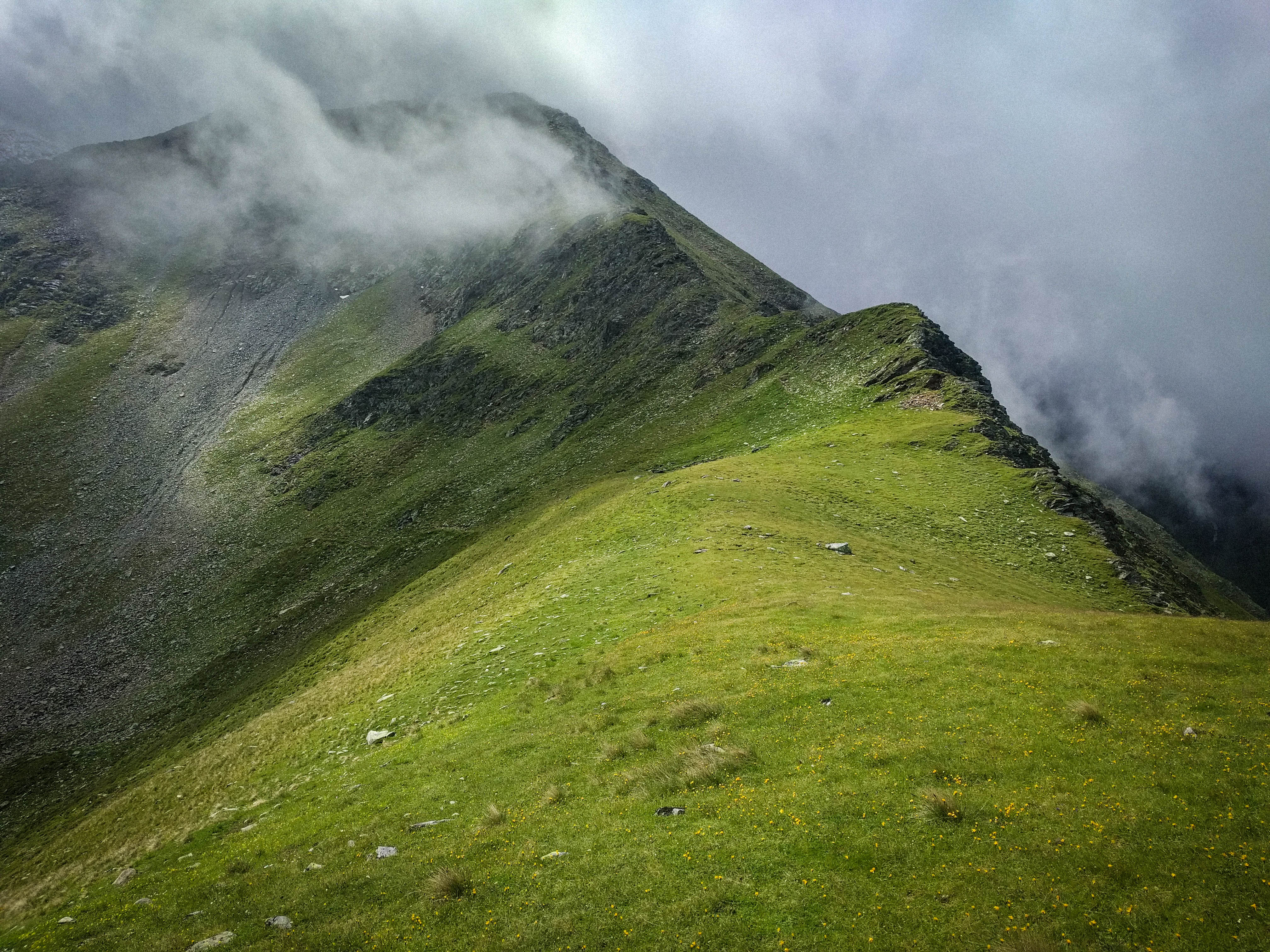
Bits of sun were coming out at the hut, though I decided to save a visit for later on my way back. Finally I was in alpine country, following switchbacks along the Klausbach stream. My information about the Narrenkopf was that some kind of trail should appear up the eastern slope of the valley at flat country around 2250 meters elevation. Sure enough, it was there. The trail curved around and led me to the summit in screaming wind and light snowfall. Hocheder was buried in cloud, so I decided not to climb up there.
On the way down I went past the goatherders hut and circled on the arm above a little lake. There was a picnic bench up here...a pleasant place!
The Rauerkopf and Peter Anich Hütte
This marks where I set off x-country
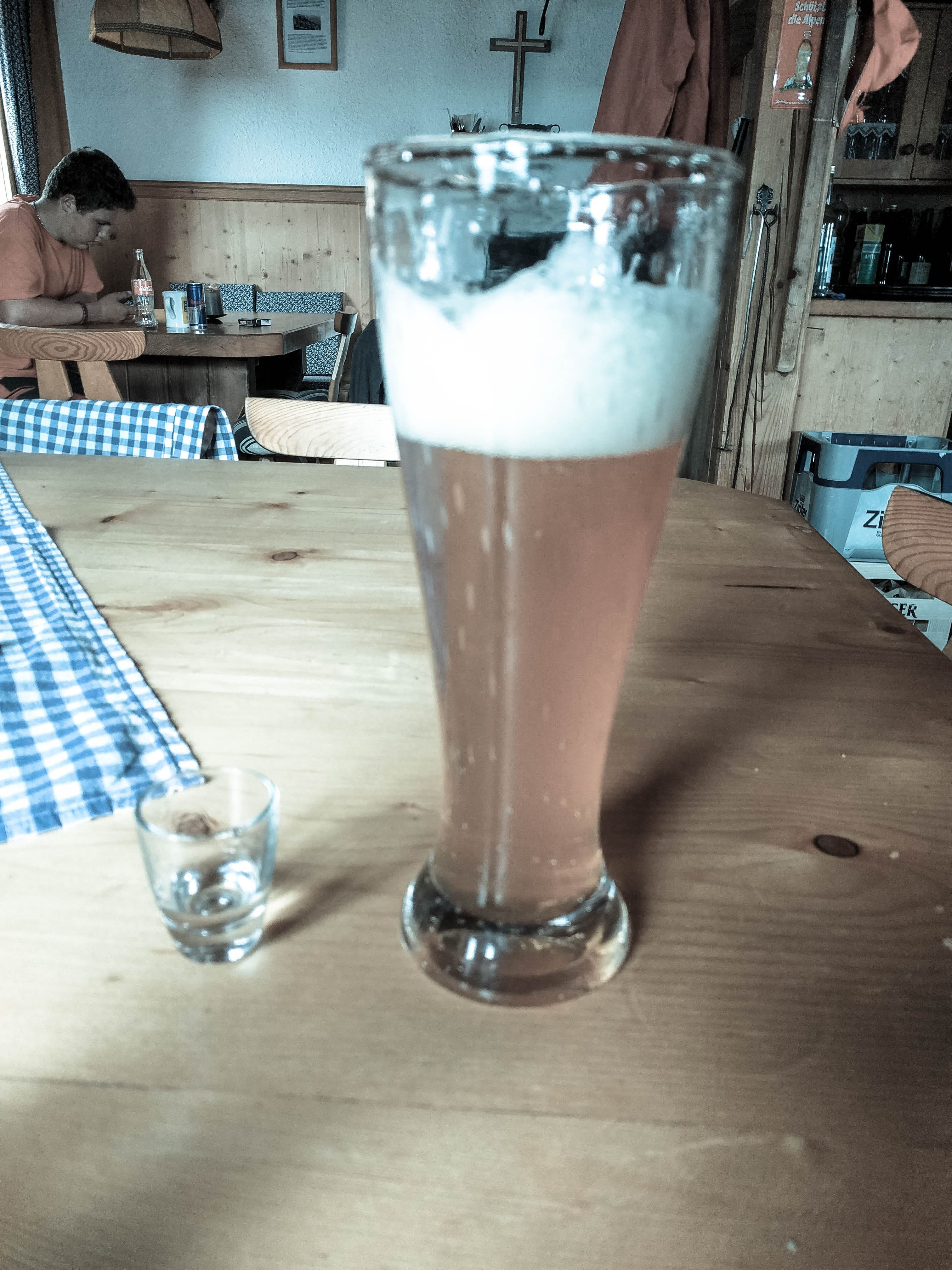
A beer and schnapps
Then I descended by the Rauher Kopf on decent trail, and finally in latschen to the Peter-Anich Hütte. I went inside, had a beer and talked to other hikers in the area. This is a strange and forgotten place, which I liked very much.
I reversed my trail up pretty easily and soon returned to the car in the deep woods.