Großer Beil Ski
Friends: Only God!Location: Großer Beil
Elevation gain: 1200m = 1200m
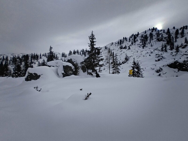
This was kind of a lame ski tour, but I was happy for all the elevation. I parked at the Alpengasthof Schönanger Alm, and skied up the road for a good ways until it became trail. I followed this into forest with some long traverses in the trees. At one point I had to take off skis to navigate a little hand-rail section on rocks that I remembered from a summertime trip here with Barbara. Finally I reached a famous rock called the Glockhausstein -- we bouldered on that before.
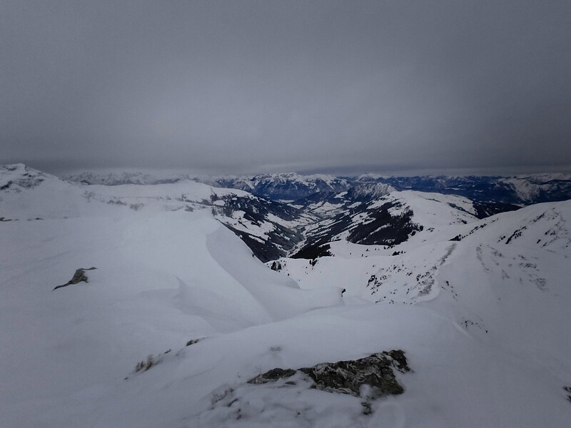
I hadn't seen any descended ski tracks -- how did these people get down? I continued up to a house, then beyond. The day was overcast and gray, but at least I wasn't in a cloud. The local summits were clear. The last meters to the summit were tough because the ski-track was lost under snow-drifts. I had kind of hoped I could descend the north face of the peak but one look down made it clear that was way beyond my skills!
So I reversed my route down to the last house. I didn't get to enjoy the skiing very much though, despite good snow because I simply couldn't see anything correctly. I never knew how steep of a slope I was on. The only visual aids were my tracks going up and even those were faint grey-on-grey hints. Eventually I figured out that there was a road I could take down to avoid the steep forest, which would be awful on skis. I descended to find tracks from two descending skiers in the days before. They had to cross a stream -- I found a better place to cross on a snow bridge. Then some tiring uphill to get on the roadbed. Here I chose to unbind the heel part of my boots and switch them into uphill mode for the long often level road traverses. That was helpful. Eventually there was pretty nice coasting down the road looking up at the peak. Unless there is a ski route I don't know about, I don't recommend this mountain as a ski tour! 1200 meters up and down.

Here I stand near a little rock Barbara and I bouldered on years ago...
