The Hohe Ferse and Pfandlspitz
Friends: Only God!Location: Ratschinger Kreuz, Hohe Ferse, Pfandlspitz
Elevation gain: 3000m = 1300m + 1700m
The Hohe Ferse
I had the weekend free to hike, so I drove down to Italy dodging rain and clouds. I decided to explore the valley on the north side of the Jaufenpass. With the fresh snow, could I find a steep and interesting hike on a south-facing slope to a summit?
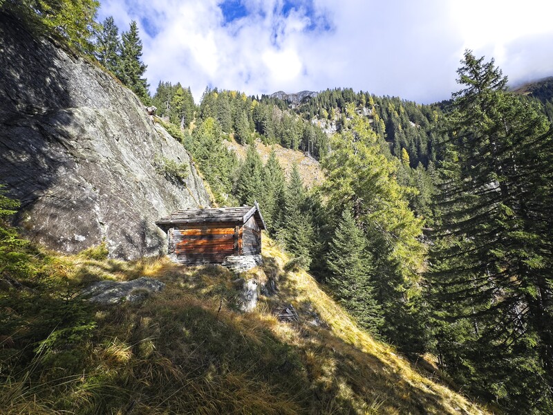
An interesting log cabin below a wall
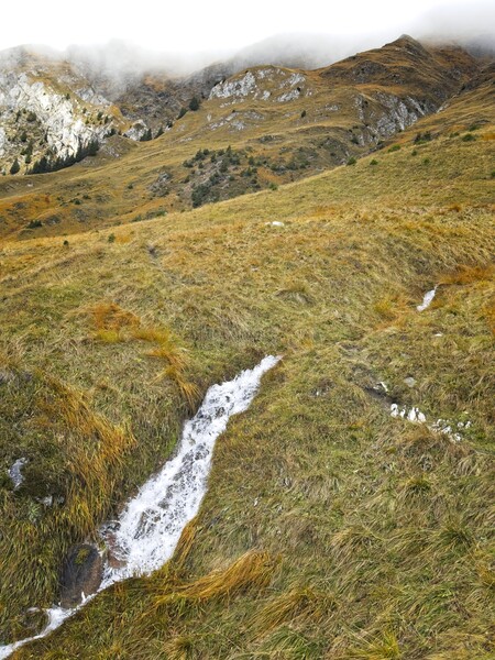
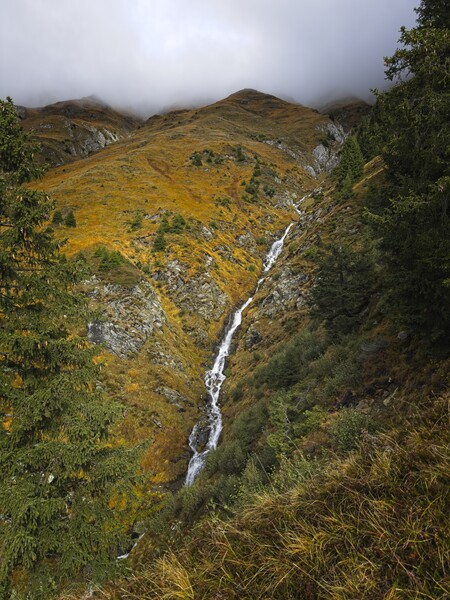
A beautiful stream below the Ratschinger Kreuz
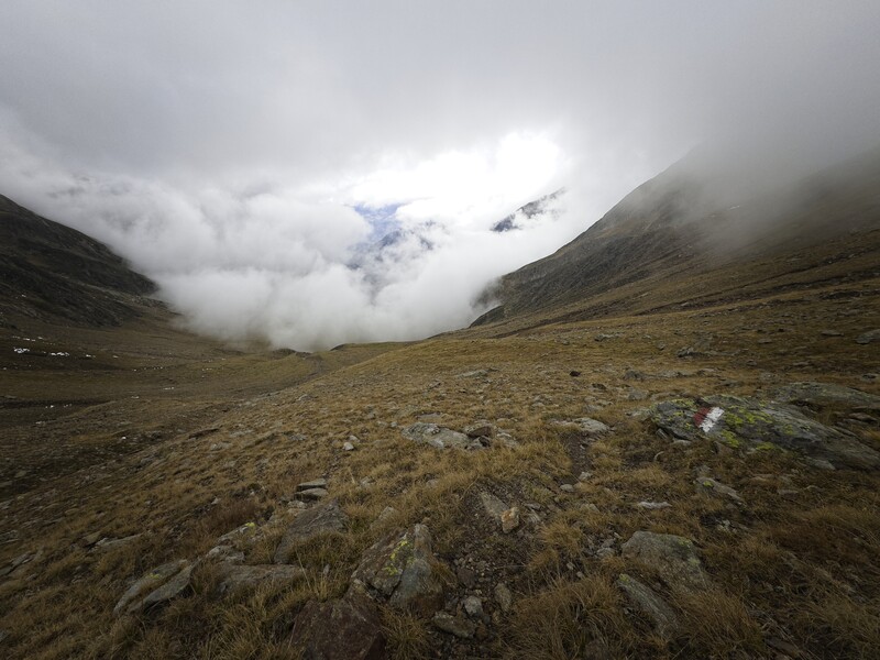
I settled on a curious trail that began at a "barefoot hiking path" under the Ratschinger Kreuz summit. The way was very steep, passing beautiful long streams flowing down from the peaks, still in cloud. I reached the summit in a bit of fresh snow, then began traversing the ridge over to the Hohe Ferse. My hope was to traverse the whole ridge and come down to the Staudenbergerjöchl far to the west. But the snow because quite slippery as it deepened on the steep grassy slopes. I had to be quite careful. Eventually I doubted I would even reach the Hohe Ferse, and I was constantly making sure I hadn't climbed up something I couldn't get back down.
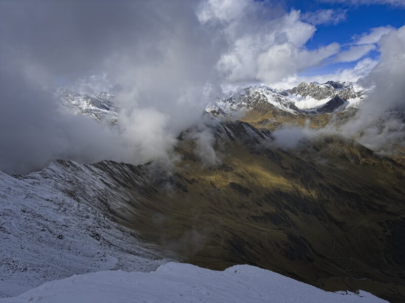
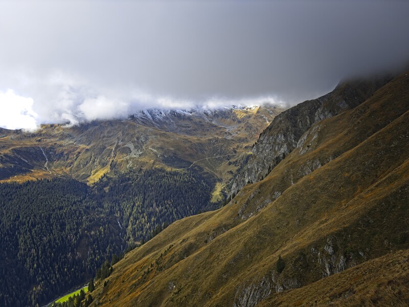
A view on the ridge to the Hohe Ferse
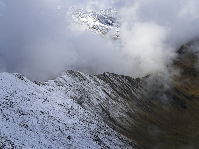
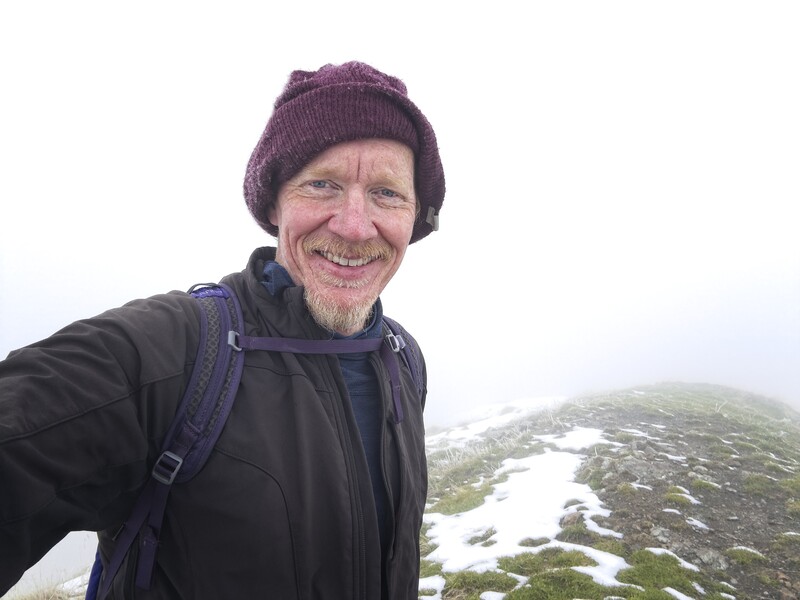
On the summit of the Hohe Ferse looking west
The trail gained the ridge here and there, then beetled off again into a steep slope on the south side. A short vertical wall bedeckt with ice and snow was the final obstacle. I could climb it because of a few good holds. I stood on the summit and realized there was no way I should try and continue: it was a white-line nightmare off to the west. Without boots and crampons and axe (semi-useless, because the snow depth wasn't enough to be productive), it was time to turn back.
I did this, and despite forboding, it went more quickly than expected. I hiked down then decided to spend the night at a hut near the Jaufenpass. 1300 meters up and down.

Back down in friendlier country
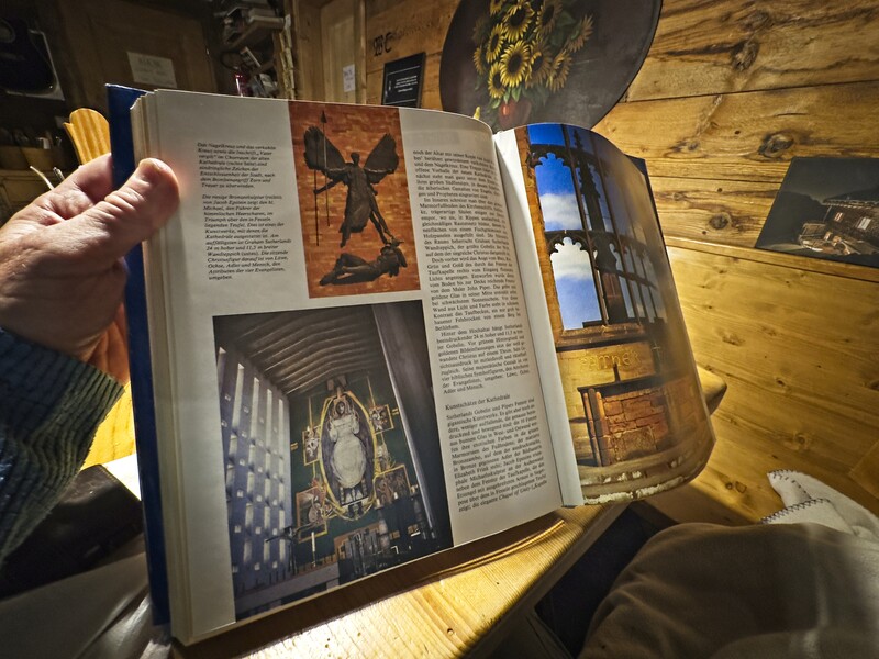
A neat picture of Coventry Cathedral, which I visited with Mikal and
Chris in 2023
The Pfandlspitz
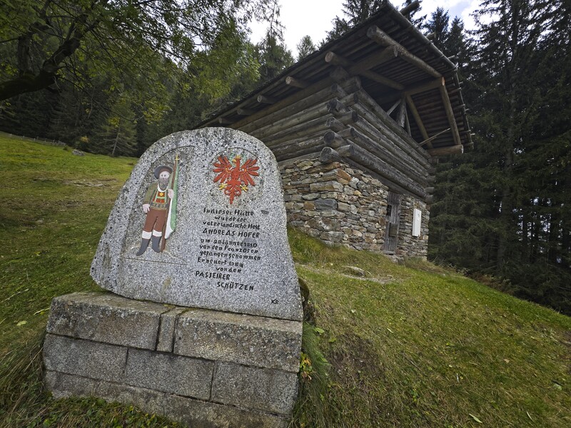
The next day I decided to park above a cluster of houses called Prantach above St. Martin in Passeier, and visit the high country on this ridge south of the Jaufenpass. I walked the very interesting "Hans Hofer Trail," which told of the final months of Tirolean hero Hans Hofer, before his execution by the foreign power usurping the wealth of his native land. It's always the globalists against the local people, isn't it?
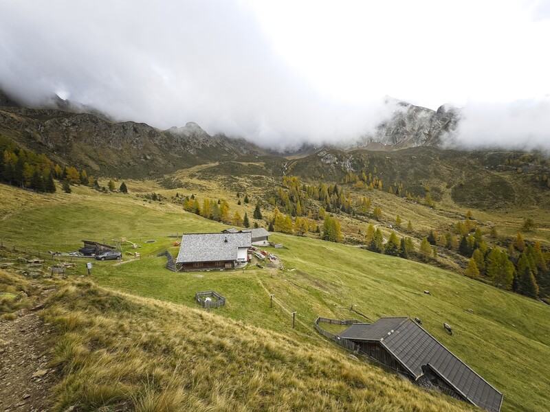
Anyway, I reached the hut where he stayed and was captured. Rather moving, I have to learn more about him. Above this, the trail got steeper and reached timberline country, making a beautiful traverse of a valley before dropping a bit to the Hintereggalm. I continued up into this valley though, really impressed with the pretty country below the Grünangerjoch which marks the ridge crest. Clouds flowed in and out as I reached the 'joch, then continued north to the Pfandlspitz, a minor summit on the way to the giant of the Samnaun mountains, the Alplerspitz. I had learned my lesson about fresh snow the day before, so I was happy to leave that mountain alone for now. Instead I turned north down into the Fartleis Valley, a beautiful place of waterfalls.
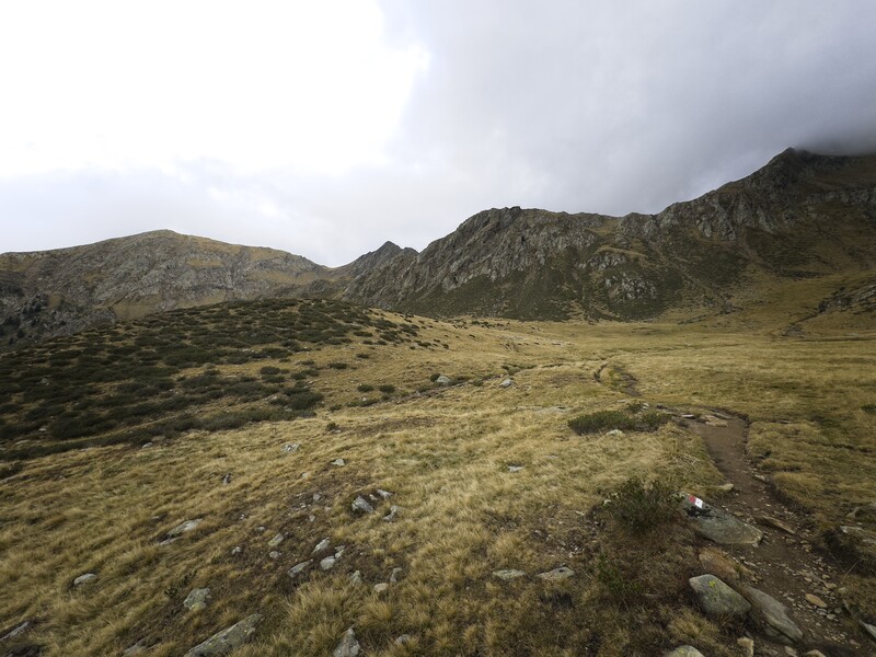
Country below the Grünangerjoch
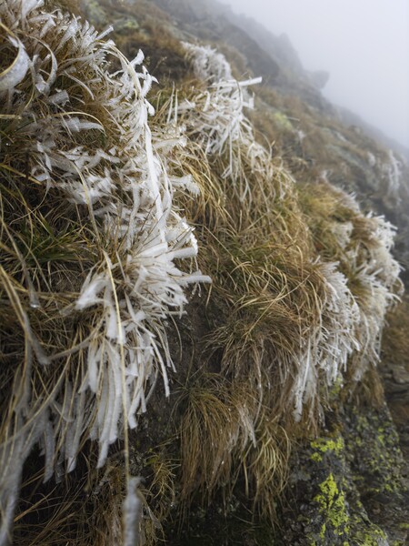
Cold conditions near the Pfandlspitz
Some farmers were recovering their goats, which had wandered onto cliffs beside a road. They had me wait 10 minutes until they could coax the goats back to the road by throwing rocks over the cliff. Really nice folks.
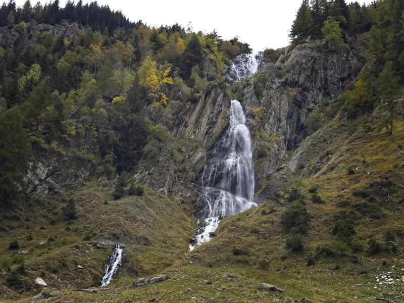
A waterfall in the Fartleistal
I had a long walk down the valley, finally ending on a pleasant road traversing the west wall above a raging river. I came out of the valley and ascended slightly over the next mile or so to reach my car. 1700 meters up and down.
