End of Summer in Meran
Friends: Only God!Location: Lodnerhütte, Blasiuszeiger, Ifinger
Elevation gain: 3000m = 2000m + 1000m
Day One, Blasiuszeiger
I drove down the night before, escaping rain in the north, and enjoyed a cigar and Schopenhauer's "Counsels and Maxims" sitting out under the stars. This grim-looking man is not the "pessimist" he is so often described as. Rather, he recognizes that here on the earth "all is vanity," and although he doesn't talk about God, the whole thrust of his counsel and wisdom allows room for Him. I've done too much reading "about" philosophers, but as with Plato, when I actually read the words of one of them I'm impressed and inspired. Two great influences on him were Kant and the Upanishads. I like that he named his dog Atman. Now, I'm drilling into Kant as well.
Above the Schutzhütte Nasereit
Soon the Lodnerhütte will be in sight...
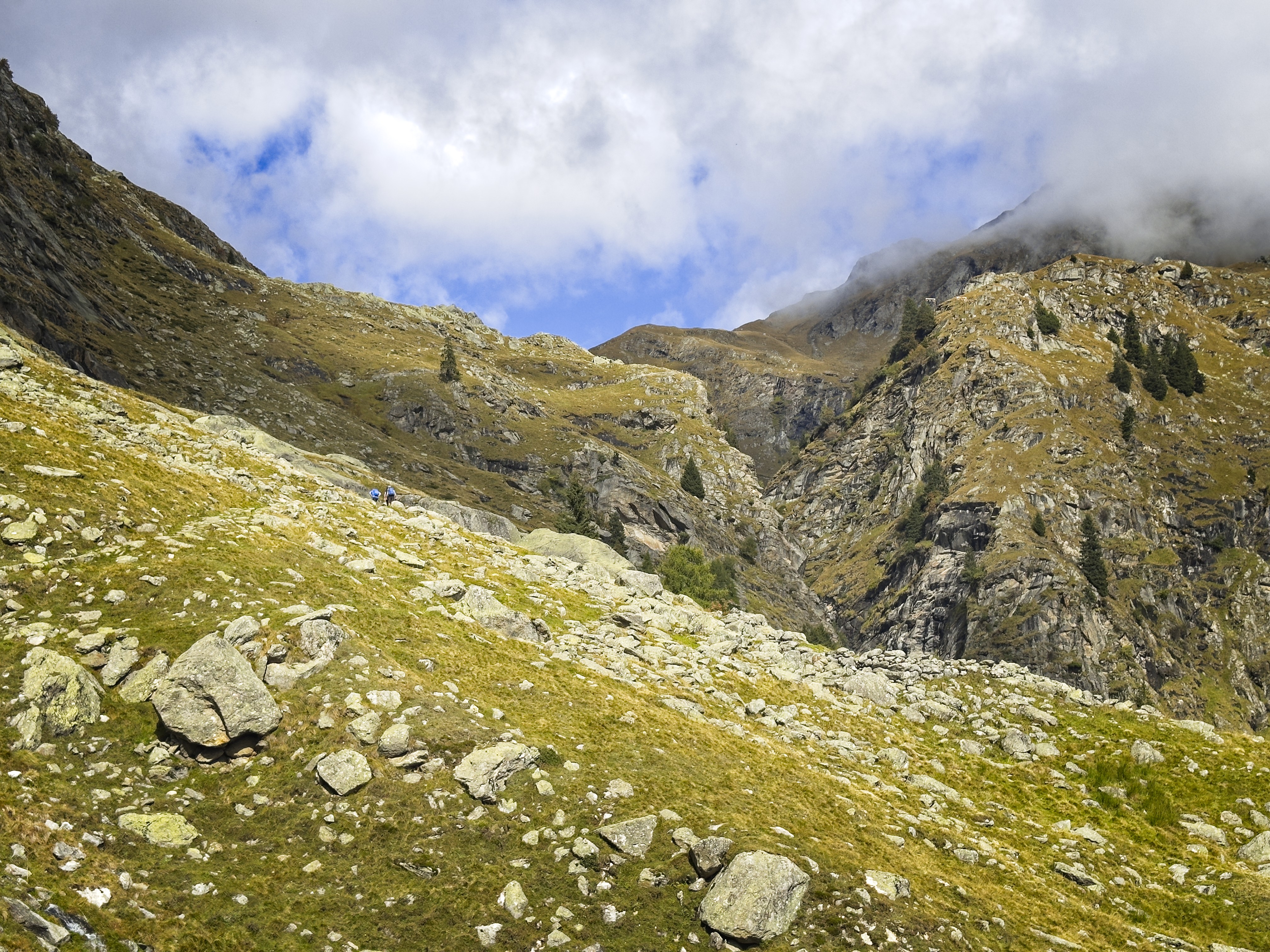
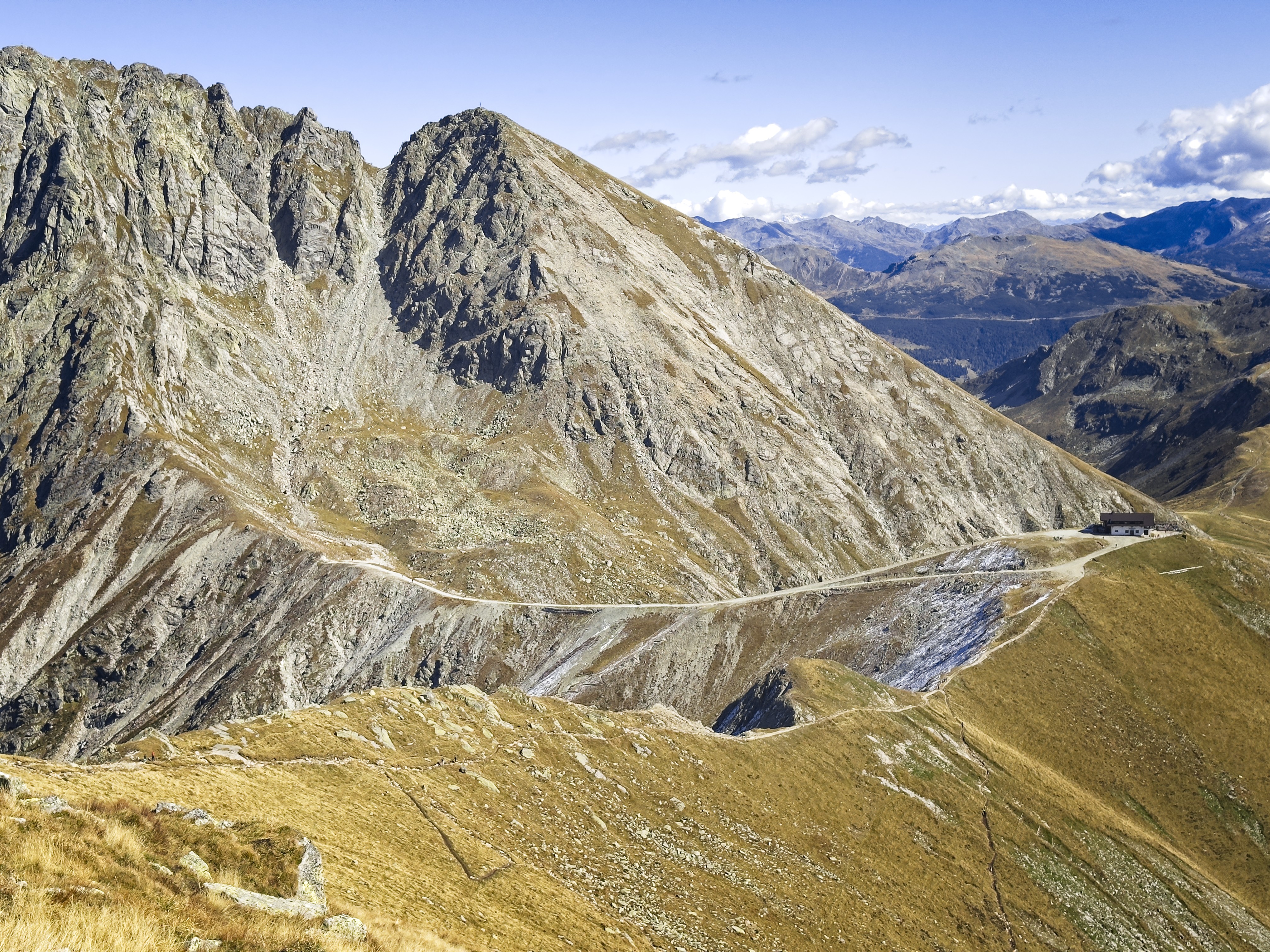
Rounding the valley wall to reach the hut
But enough about that! In the morning I started hiking from the parking lot above Partschins, and made my way to the Lodnerhütte. After a coffee there, I doubled back into the Lafaisbachtal, and up to the Blasiuszeiger (2837 m). Really excited to hike more of these summits!
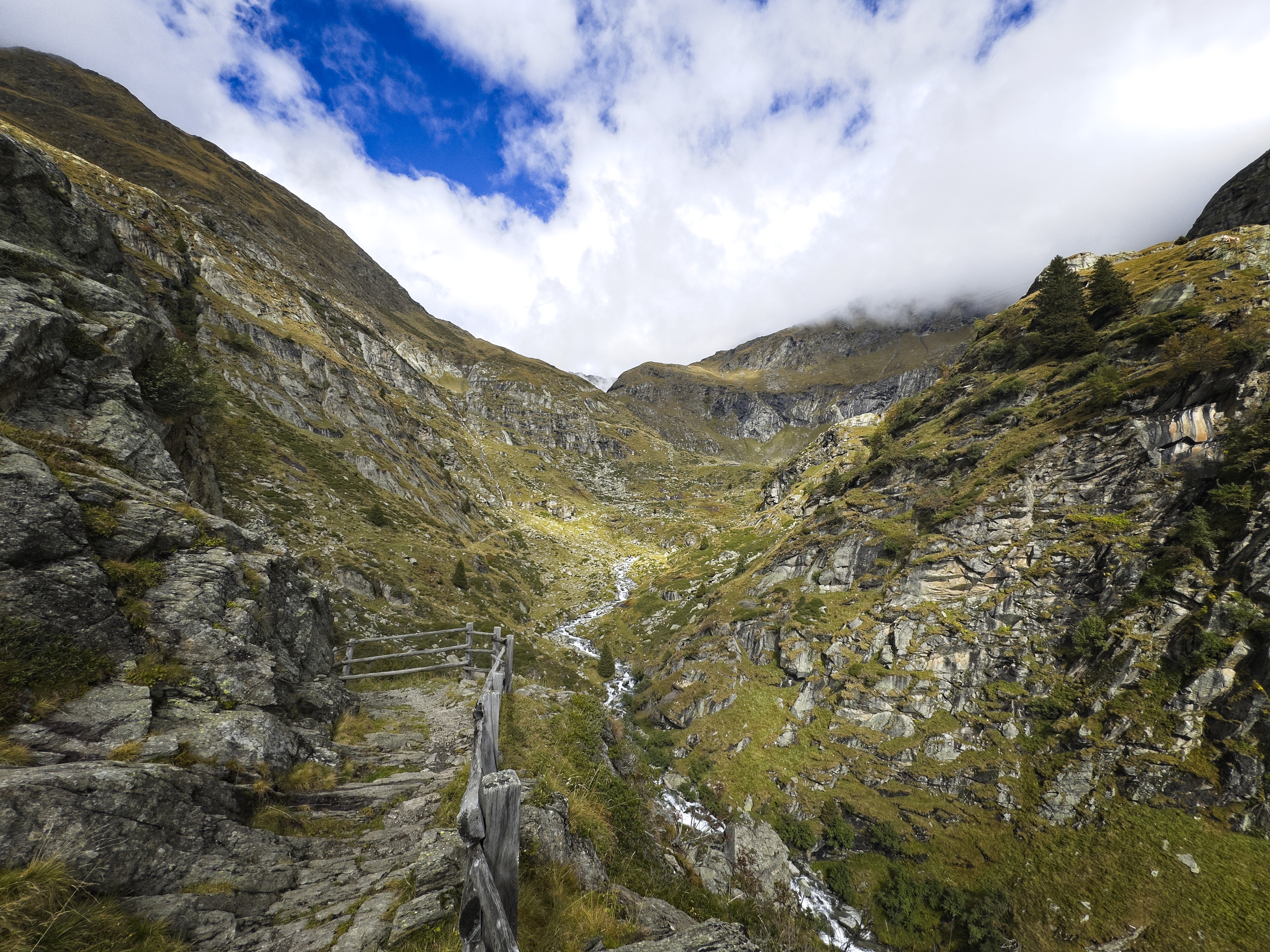
Looking into the Lafaisbachtal
From the summit, I saw I could descend into the Schrambachtal with its curious square stone ruin. In a steep gully, I decided to leave the trail which climbed up and around to the head of the valley, and just bomb more or less straight down to the ruin. This worked pretty well with a bit of side-hilling to the right to avoid the really narrow-looking base of the gully. Then I walked by the ruin and descended to meet my ascent route about 400 meters above the Schutzhütte Nasereit. Last year I'd been here and came down via a klettersteig (via ferrata) route, but this time the trail gave me enough exercise. After a beer and some reading at the hut, I finished my descent to the car, for a total of 2000 meters up and down.
Giants of the Texel Mountains
Another view, the high peak is Lodner
The Lazinser Rötelspitze (highest) and the Tschigat summit with the Halsljoch
in between
I had pizza for dinner, and rested for the next day.
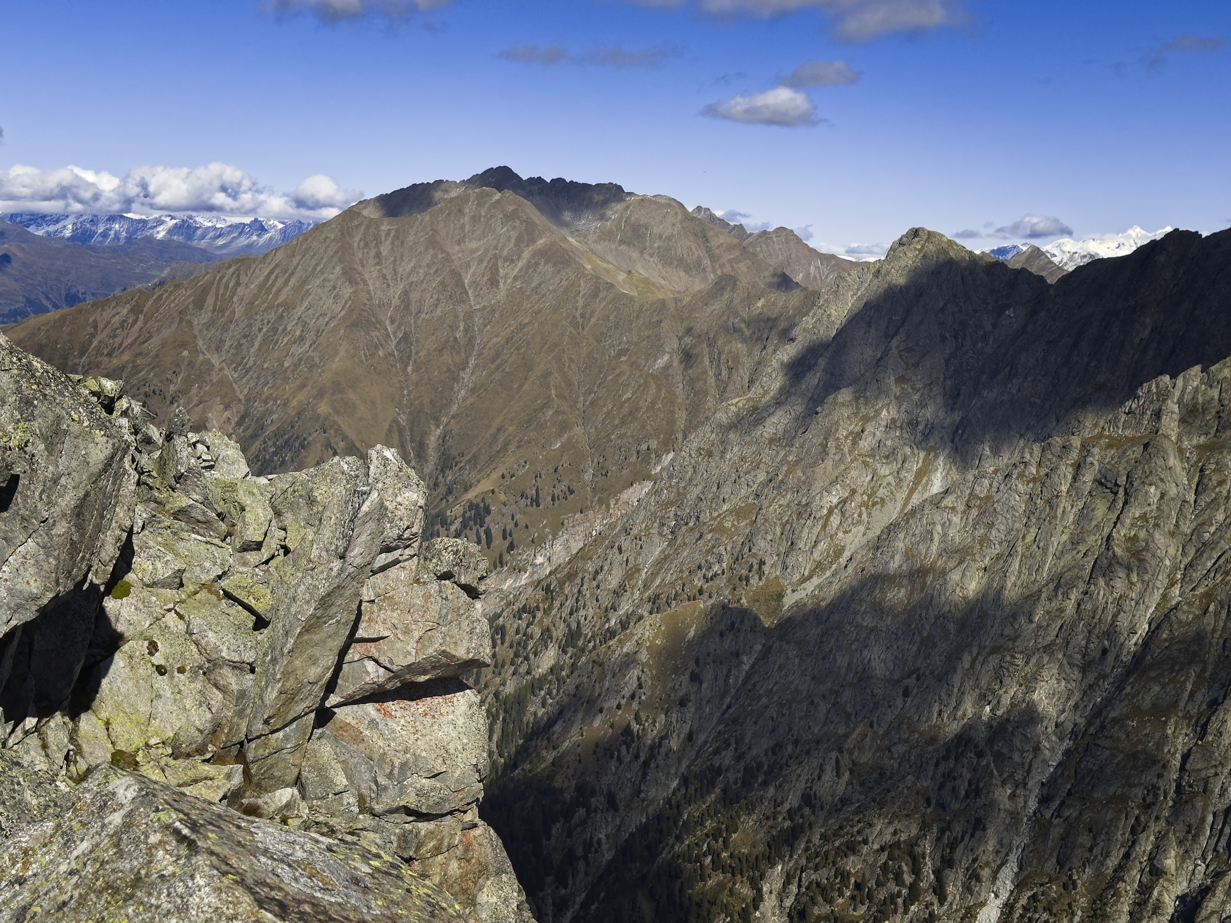
The Hochwilde on the left and the Hohe Weiße on the right
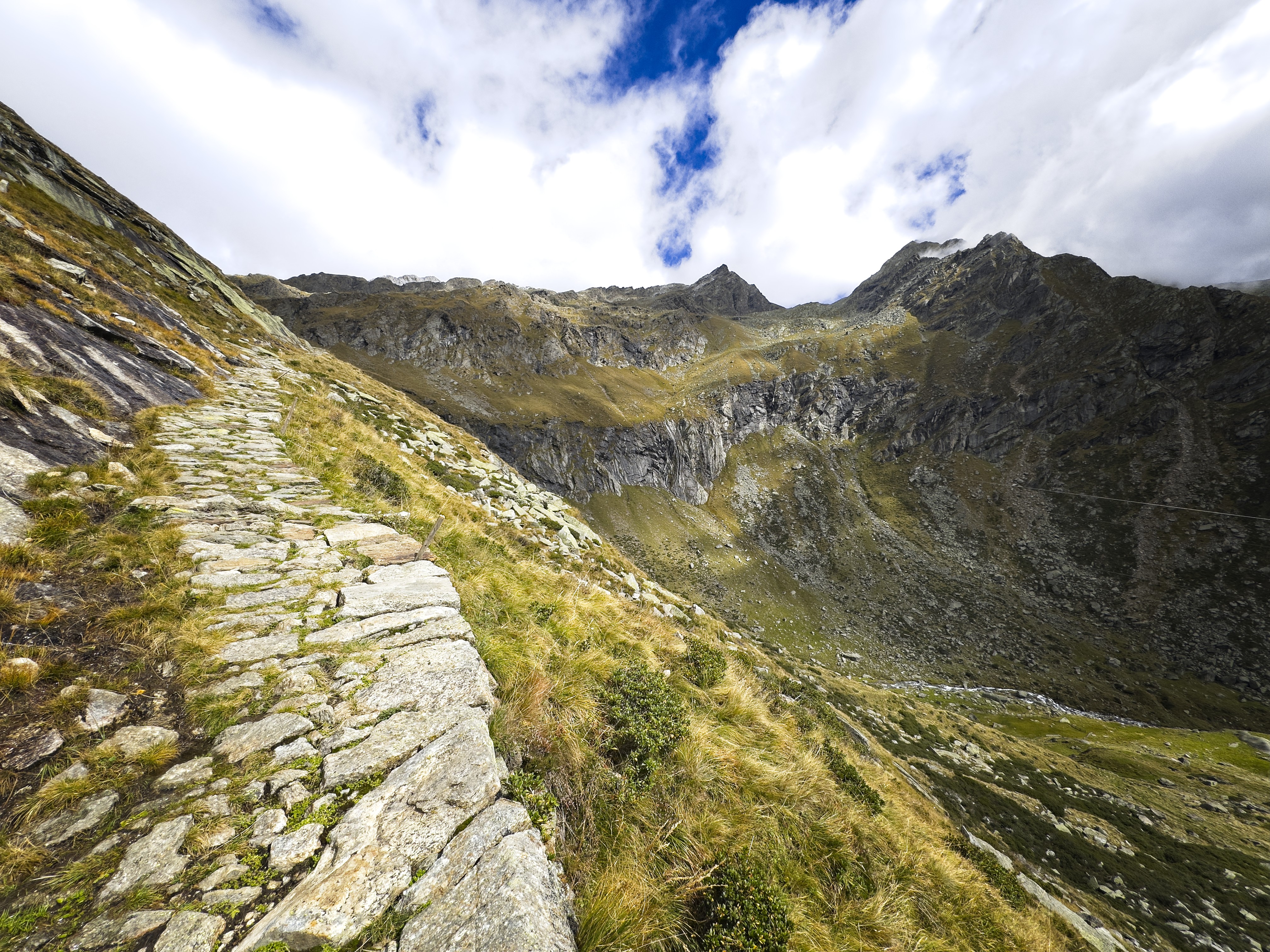
A panorama at a notch just below the Blasiuszeiger
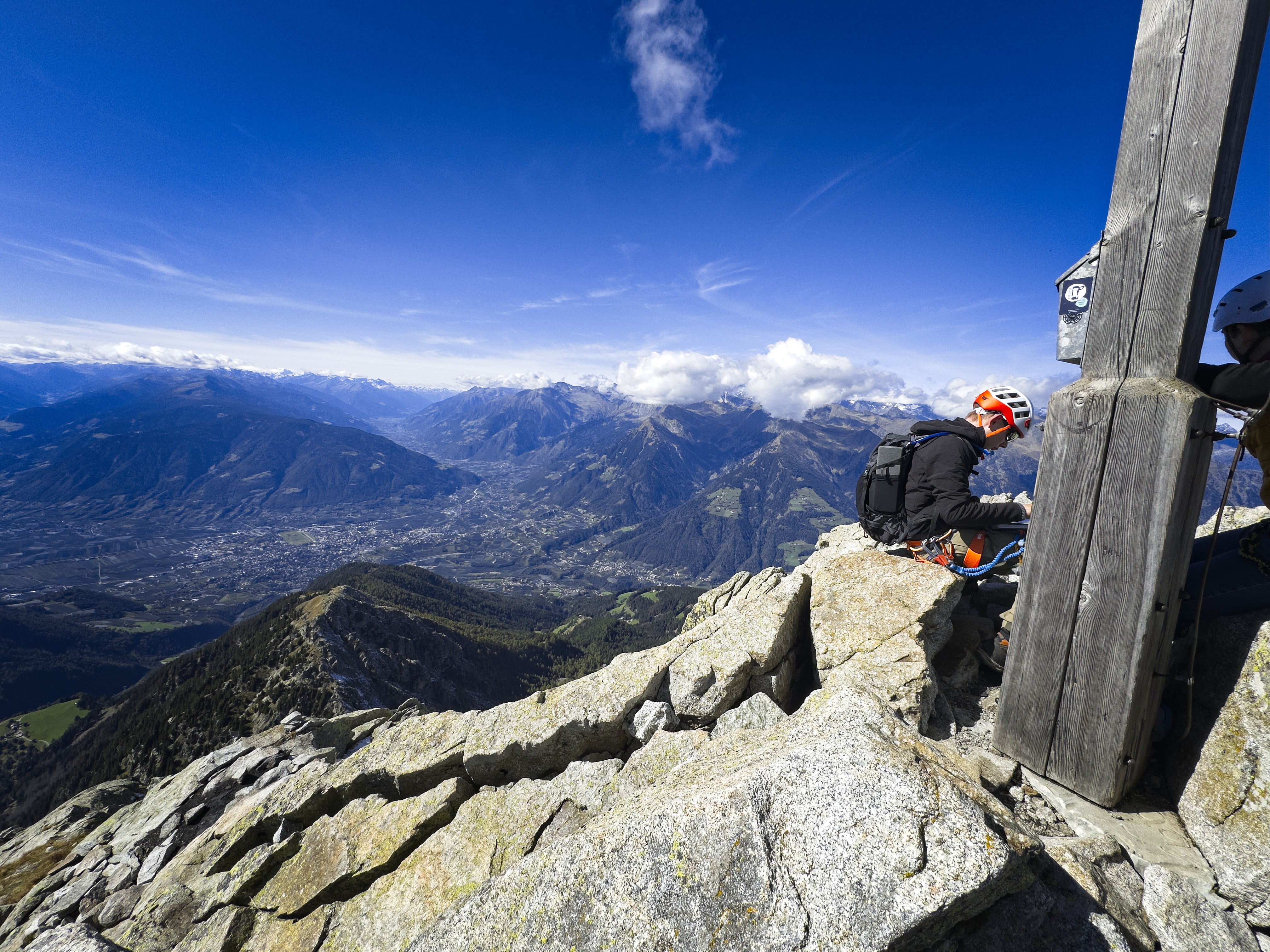
Me on the Blasiuszeiger
I like the dappled sun and shadow...
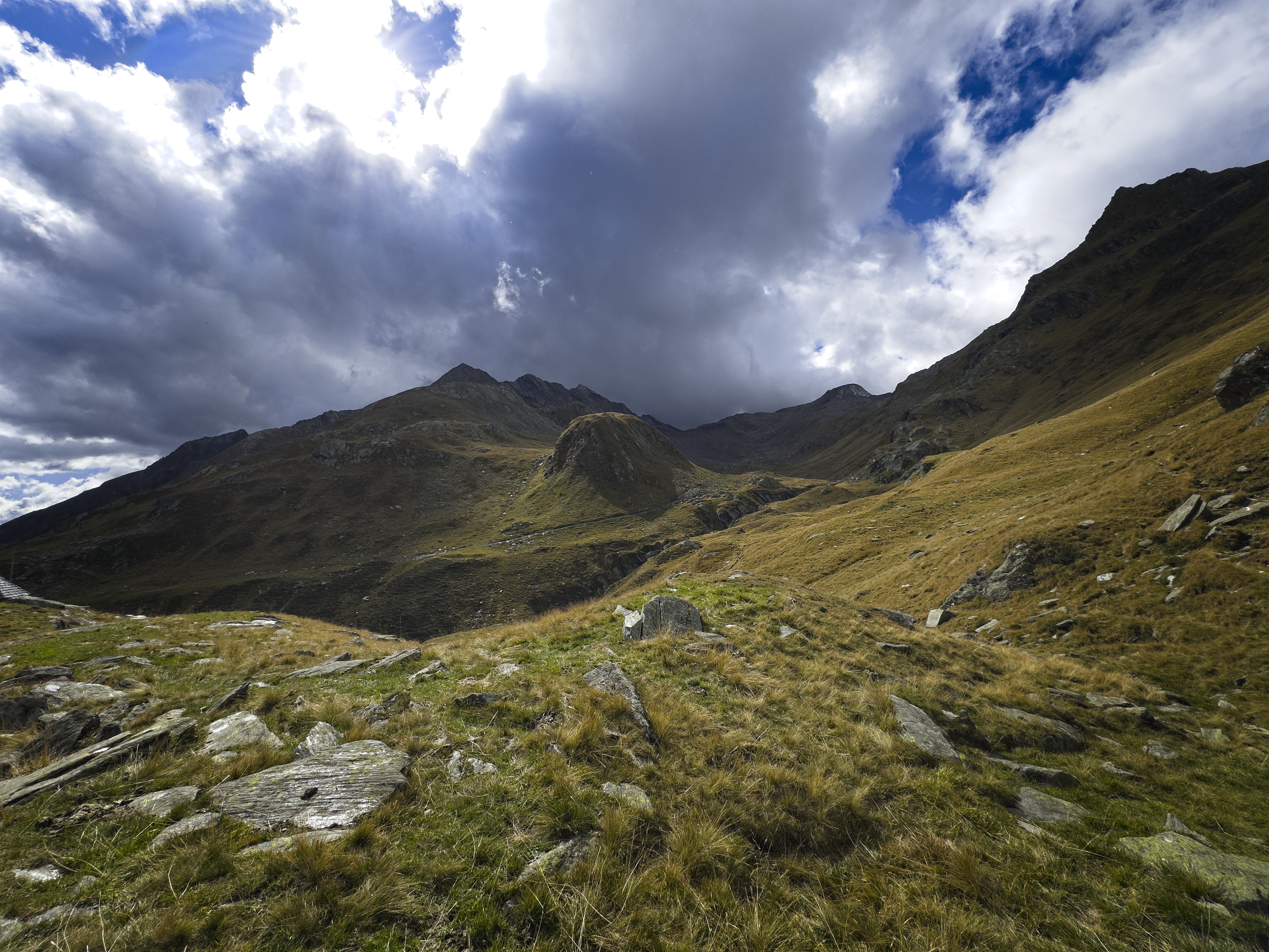
Coming down from Blasiuszeiger
Day Two, Ifinger
Boy, was I sore! I hadn't been doing much in the mountains and paid for it...
I settled on doing a klettersteig on the other side of the valley, driving quite high to a tourist compound called Falzeben at 1650 meters. I only had to hike up 300 meters to reach the base of the tour called the "Heini Holzer Klettersteig." It was named for the guy who skied down the face of the Ifinger in May of the year of my birth. The route offers a nice view on the steep face of his descent.
Looking east on Ifinger...
On the summit, looking west
Looking north
Looking down to the Kleine Ifinger
These are the Sarntaler Mountains
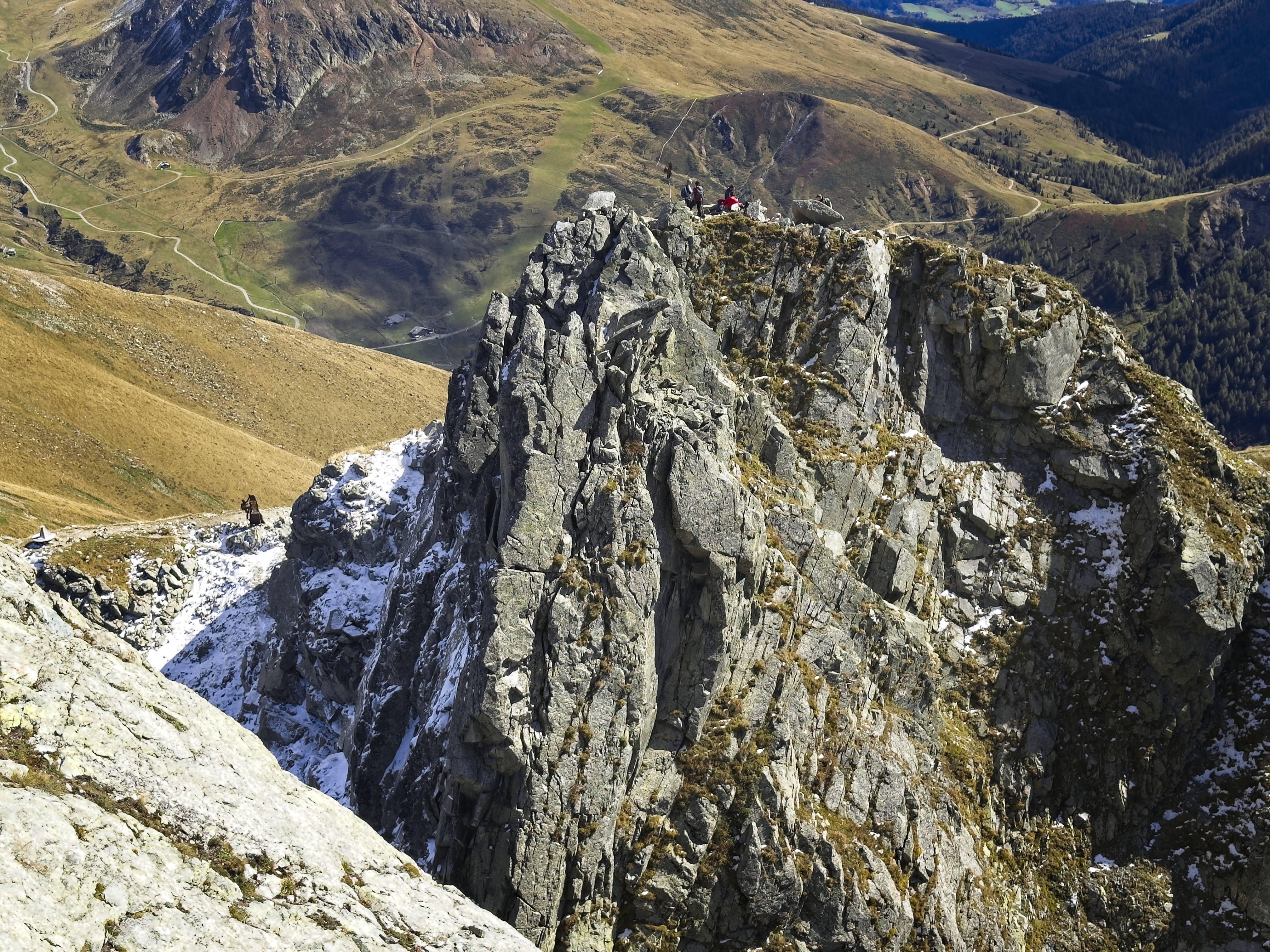
The Klettersteig on the ridge/face of the Ifinger
I passed various parties, and enjoyed the scrambling on this route. There was snow on a traverse of the north side of the Kleine Ifinger, but it was fairly harmless. A bit more scrambling got me to the summit. Nice!
I hiked down, had a beer in Falzeben, and drove home. I really like this area.