Via Alpina Hiking 2024
Friends: Only God!Location: Maloja, Piz Lunghin, Innerferrera, Isola, Mesocco, Rossa, Capanna di Cava, Biasca, Ulrichen, Galmihornhütte, Burghütte, Eggishorn, Blatten bei Naters, Gampel, Leukerbad, Hotel Schwarenbach, Vordere Loner, Adelboden Mountain Station
Elevation gain: 17090m = 1932m + 1172m + 1300m + 1720m + 1945m + 470m + 1275m + 1616m + 1730m + 1040m + 0m + 1200m + 1690m
I'm still working on this trip report, but I've got the elevation data and the gps points up...
200 kilometers and 14288 meters elevation gain.
It's time to return to the Via Alpina Red, that long trail that crosses the European Alps from Trieste to Nice. I did a section in 2018 over a couple of weeks and wanted to pick up where I left off. But I left off in a strange place and decided to pick it up a bit later, knowing I'd have to come back for the missing section. Starting from Maloja, near St. Moritz seemed like a good option because I could reach it in a few hours of train travel. Once I was established in Maloja, I saw it would be a good place to go the other way (back east) to pick up the missing section later. So it is.
Days 1 through 6 - Maloja to Biasca

101 kilometers and 7028 meters elevation gain
Day 1, 33 kilometers, 1600 meters elevation gain to Innerferrera
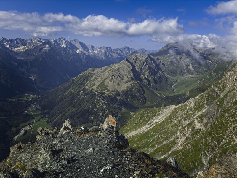
After a dinner in Maloja and a good night's sleep, I was hiking up and away west around 7 am. It was nice to be back on a long trail with a light pack. I had a jacket, gloves and hat. I had some cash, my Kindle E-Reader, my phone for a camera, sunglasses and a kind of funny tripod I'd use to take some pictures and video. Maloja is pretty high, around 1800 meters. The country was beautiful, with only a scrim of evergreen trees around the lakes, the mountains rising bare above them with a mix of green meadow and light brown granite. All surrounded by morning clouds rapidly burning away in the broad valley.
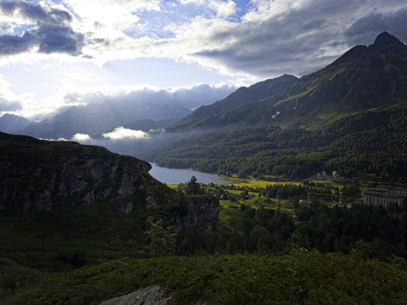
The Lej da Segi from above Maloja
With the Lej da Segi shimmering below, I started climbing to the Piz Lunghin and its little lake which marks the start of the Inn River. I said goodbye to that eastern country and turned west to cross the Pass Lunghin into the broad Sett Valley and its famous pass, manned by monks in the middle ages to protect and save travelers making their way south to commerce in Italy. Here I had great views looking south to the Pizzo Badile, a mountain I want to climb one day by the classic granitic north ridge. I'd spend the trip mostly in Switzerland but dropping into Italy for a day or two or even an hour or two. I definitely noticed the prices were better on the Italian side! In fact, I'd recommend sleeping in Italy when possible...
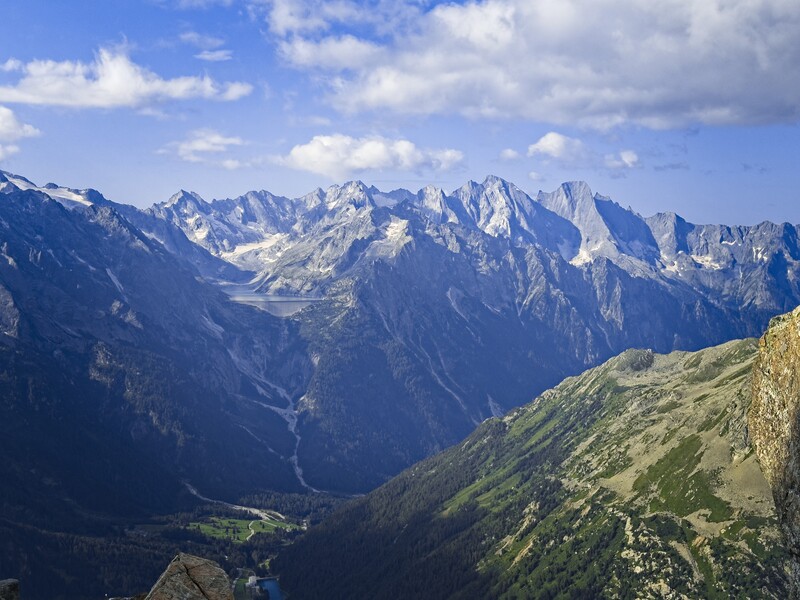
The Pizzo Badille on the right
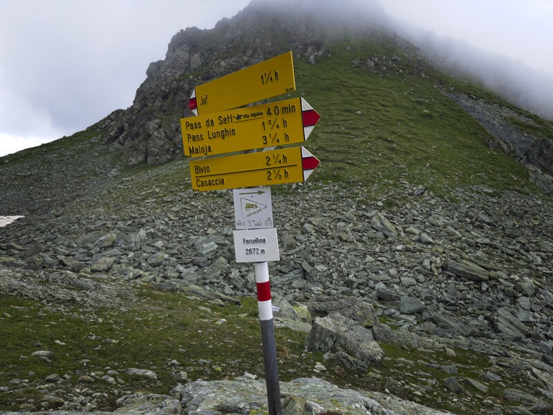
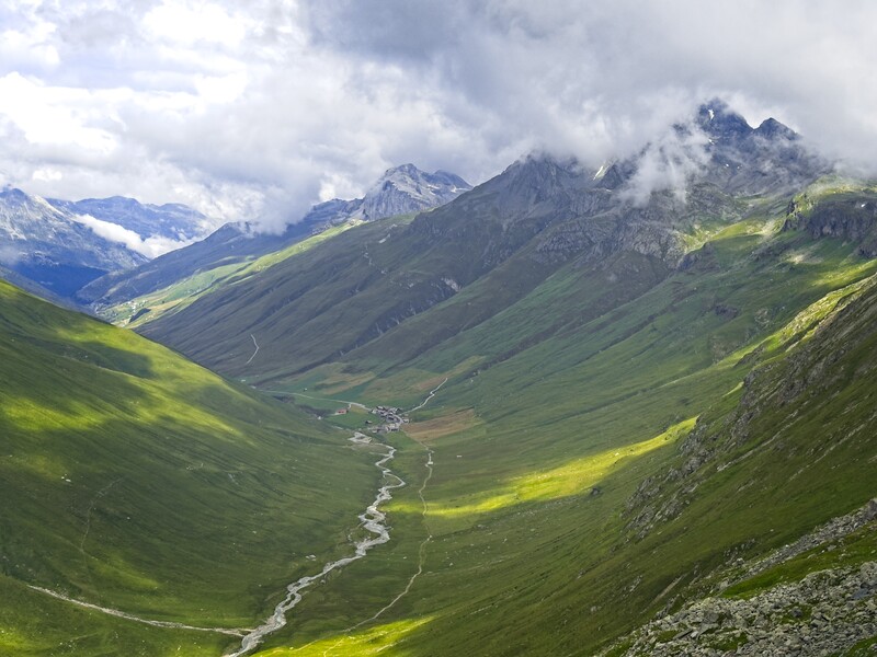
Climbing up from the Pass da Sett, I entered clouds again then crossed the spine of mountains at Forcellina around 2600 meters. I had a long chat with a nice Swiss couple here, we laughed about some Steinböcke looking down on us from the cloud-bedecked peak Columban. Then I turned north and traversed a high bench above the Juf Valley, looking down on the mysterious town of Juf, which is the highest continuously inhabited village in Europe. At the little town (just a collection of houses), I joined the Walserweg which traces a path of settlement of the Walser people. These people began migrating out from the Wallis valley (where the Matterhorn is) in the 10th century and continued into other Swiss/Italian/Austrian valleys for the next few hundred years.
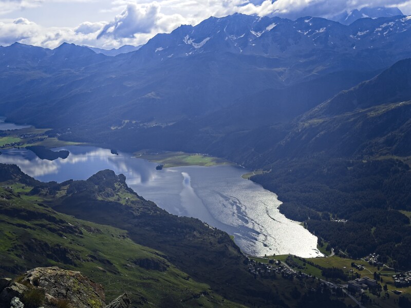
Another image of the lake, this time from the summit
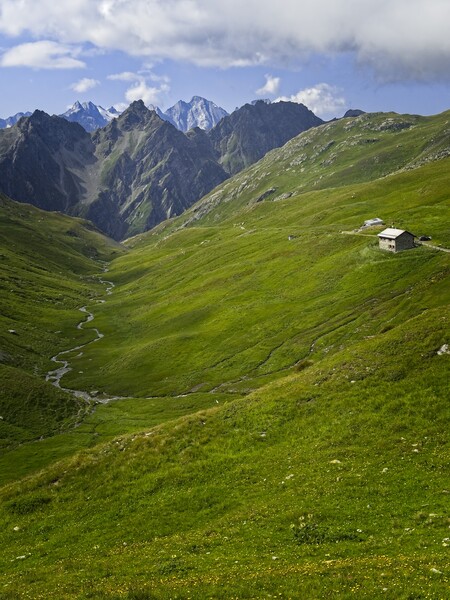
View south from the Pass di Sett
In this benighted time they had unusual freedom. They owned their land, they were not serfs. Whereever they settled, they established hereditary rights over the land. Sounds easy, yes? But think how hard it must have been to make a living in these incredibly high valleys in a time when it was colder than today. But it must not have been too bad. Overpopulation is cited as a possible reason for their migration...
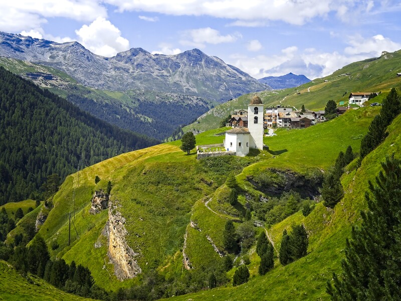
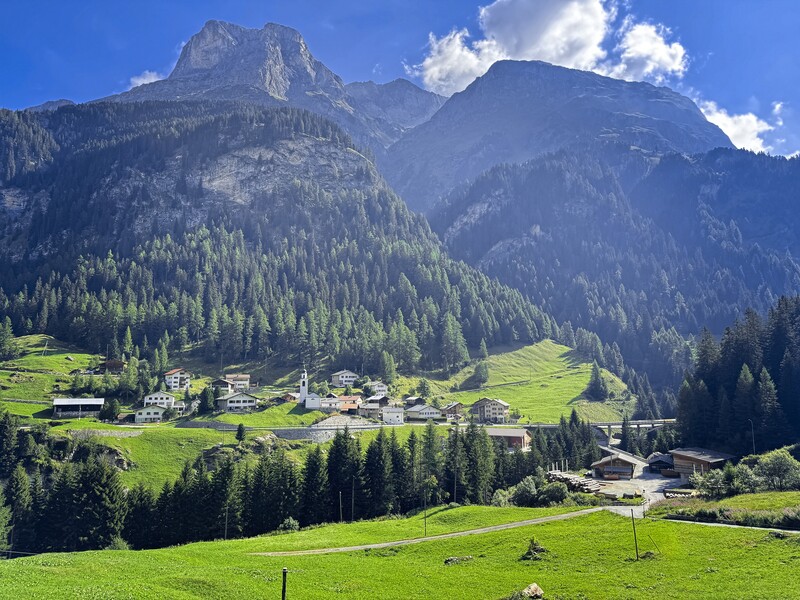
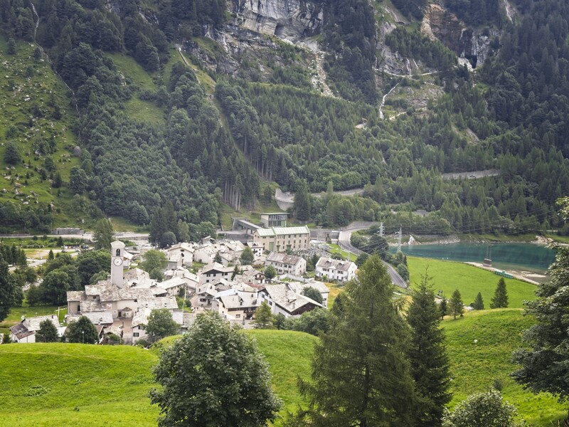
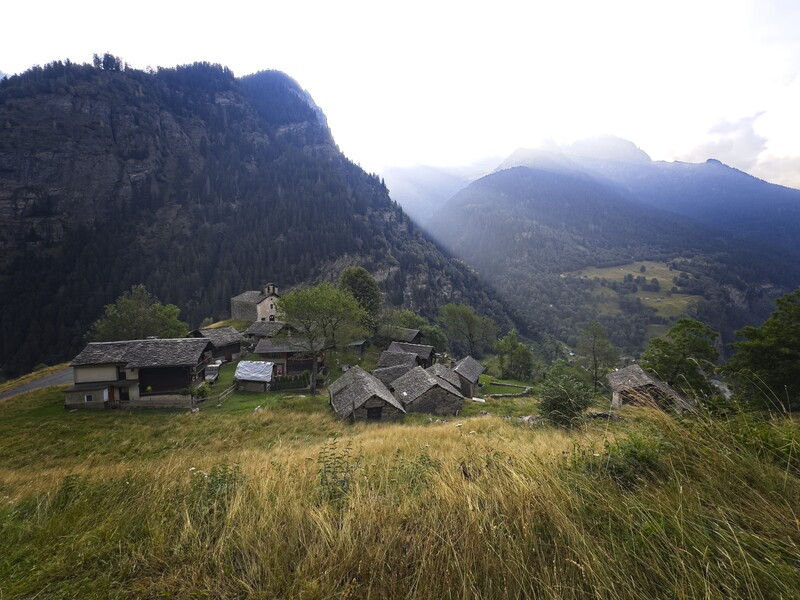
A charming village on my descent
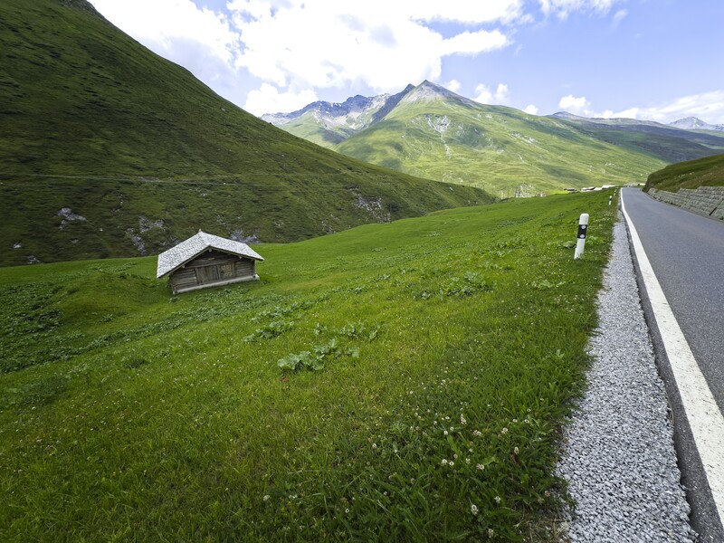
Walking down the road from Juf, I stopped at a little shop in Cresta for some chocolate milk and snacks. I still had a long ways to go -- I was trying to hike two usual days in one day. After a scenic walk over a bridge with cliffs and cascades beneath I reached the lower valley at around 1700 meters, mostly forested now. I listened to an exciting podcast called The Exorcist Files, in particular an episode called "Predatory." Fantastic, interesting stuff.
With sore feet, I stumbled into Innerferrera and spent the night at a fantastic little hotel. I ate dinner at the attached restaurant, sitting outside and enjoying the sunset with a beer. I had a fantastic conversation with a Swiss journalist who was walking the Walserweg. We talked about photography and philosophy.
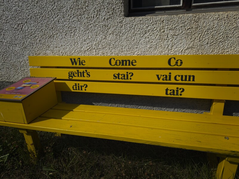
The three languages spoken in Innerferrera
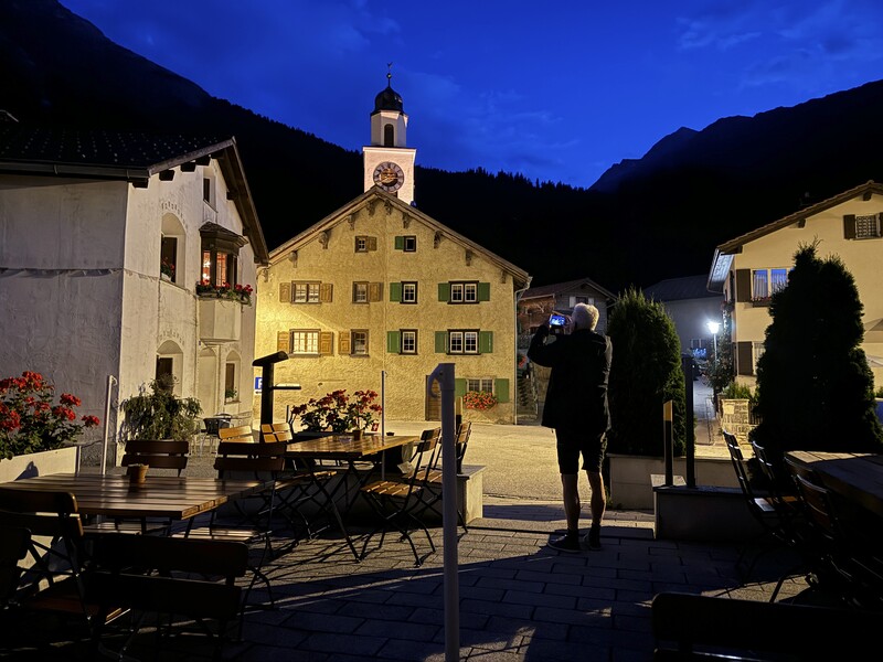
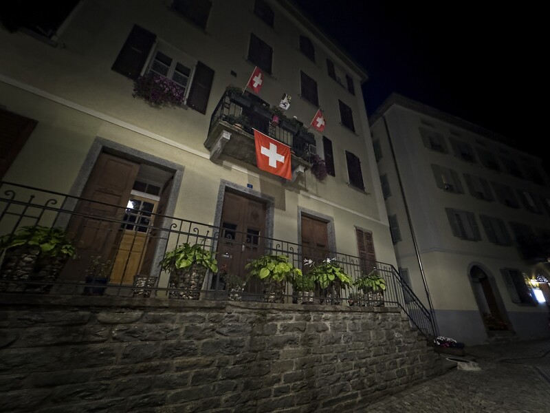
The village at night with an intrepid author
Day 2 - 20 kilometers, 900 meters elevation gain to Isola
After breakfast, I crossed the river and climbed a forest track into the Val di Niemet. I sat for a while in the high valley in the sun and read some C. S. Lewis. Crossing the Passo di Emet, I entered Italy and started running into many people. There were so many more out and about in Italy! Where I'd seen groups of 2 once per hour before, now I saw groups of 5 or 8 every few minutes. I descended to the Montespluga lake and descended a lovely gorge along a trail called the Via Spluga. I was a bit worried about overnight accomodation. A web site said there were no rooms in Isola, which was worrisome because if I couldn't stay there I'd probably have to take a taxi somewhere rather far. So I just walked into the hotel and asked. Sure enough, there was a room - yes!
I took a nap, enjoyed dinner outside again, then fell to my rest.
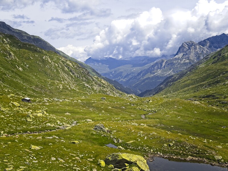
High country around the Passo di Emet
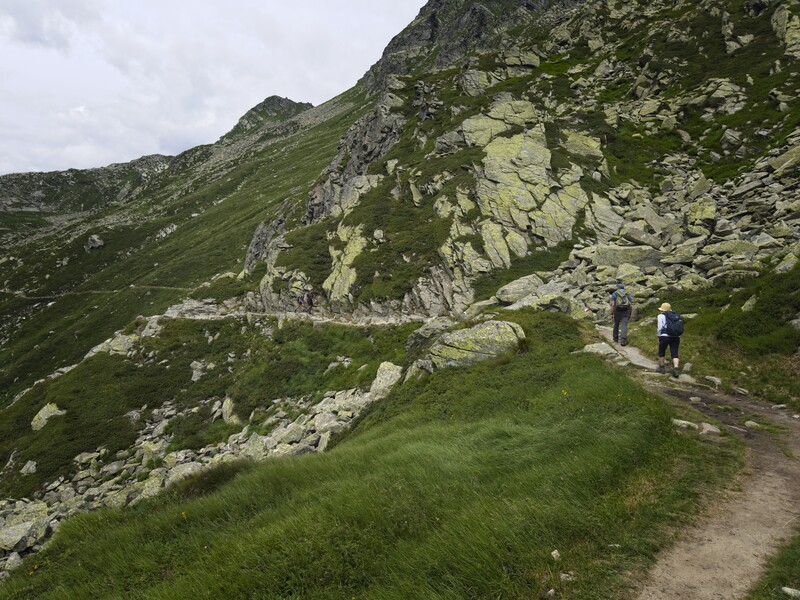
Rounding a valley wall and look...people!
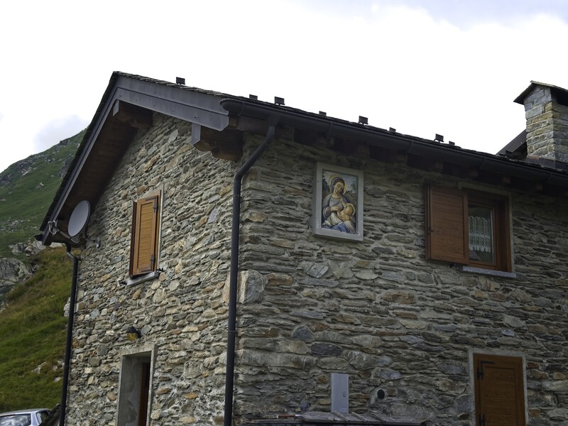
A charming house near the Montespluga lake
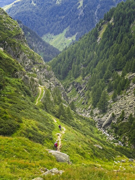
The beautiful Via Spluga trail
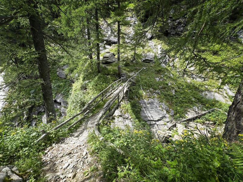
A wooden bridge over the gorge
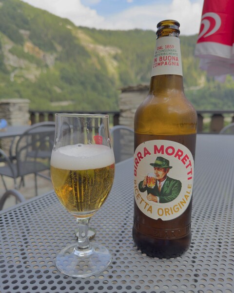
A beer on the terrace in Isola
Day 3 - 20 kilometers, 1132 meters elevation gain to Mesocco
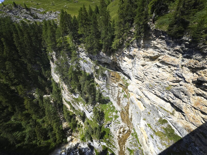
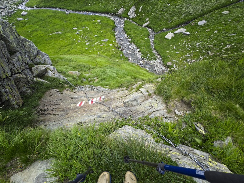
Now I was in a section of country marked by north-south trending mountain ridges with deep, v-shaped valleys as I traveled west over the next days, and each valley getting deeper even as the mountain passes remained at a similar elevation. I passed a collection of houses called Borghetto perched on a high east-trending arm coming down from the ridges. Here I saw an old woman and two little kids. They were the only people I'd meet all day. In beautiful weather I passed the Lago Grande, and continued to the Passo della Serraglia (around 2280 meters). After crossing a long meadow where the trail disappeared I entered a dramatic granitic gorge with dramatic falls and cliffs marked by chains to hold on to in steep sections. The valley far below was marked by an intricate highway where cars zoomed along in rounded switchbacks crossing from a tunnel on one side of the valley to the other in great, arcing curves. Pretty impressive! But the trail through rugged forest was very, very steep.
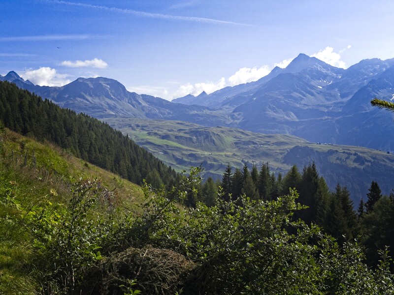
Looking back to the country of the day before
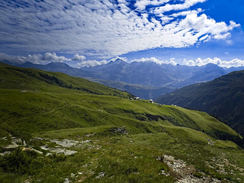
Looking back on the Borghetto village
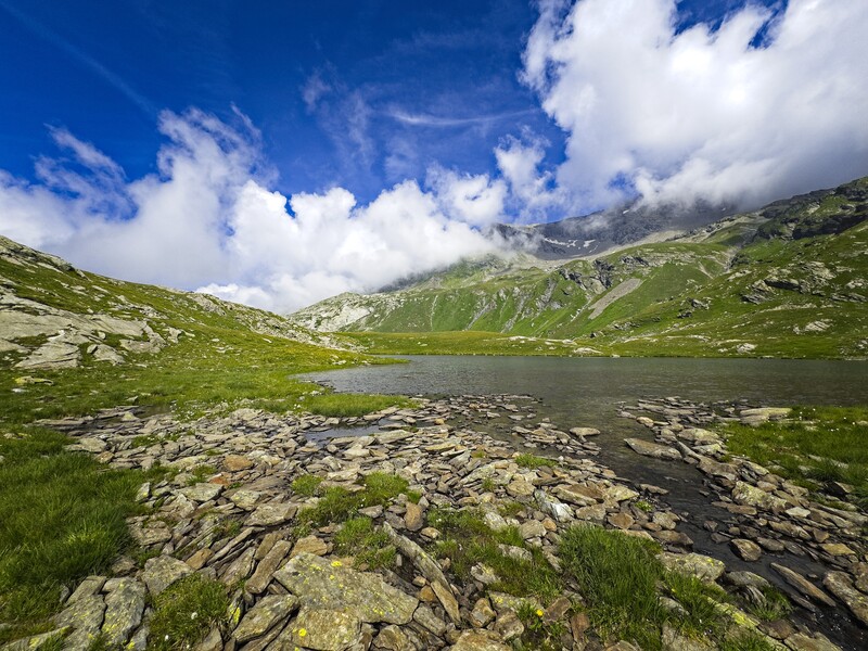
A chain of lakes approaching the pass
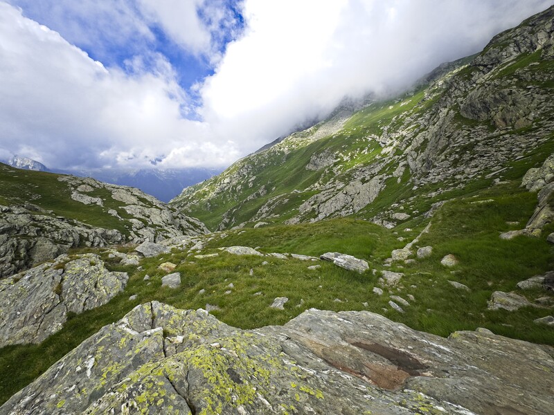
Descending the gorge west of the Passo della Serraglia (the "locked up
place")
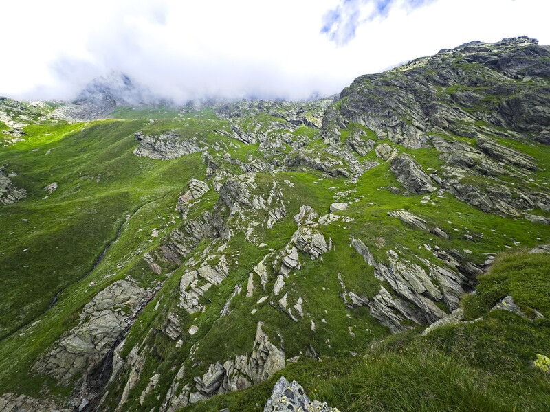
Stunning scenery in this gorge
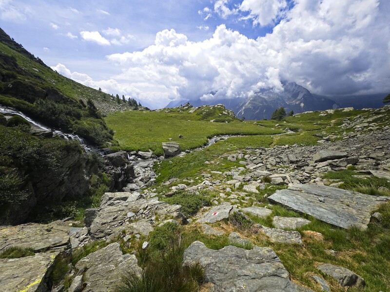
The country becomes friendlier
I walked in afternoon heat and haze through a town called Ghifa, then continued under the highway through a forest to reach Mesocco. I stopped for a beer at a little pension, and the owner was a very nice lady who said I could possibly sleep there if I didn't mind sleeping in a basement room on some blankets on the floor. I was willing, but she may have thought better of it, and recommended I take the bus to Soazza for the night, so I did.
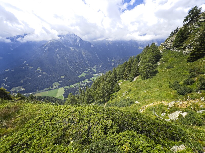
But the valley is still far below
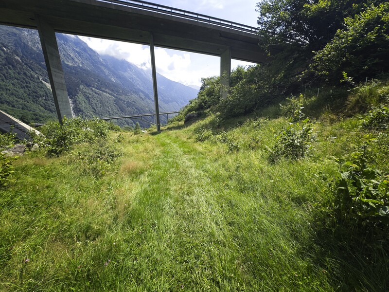
Weaving between highway overpasses...
The other guests at the little hotel in Soazza were highway workers. In general it seemed that a lot of local people were on vacation and had kind of closed up shop for part of the summer. My dinner was rather spartan - bread, cheese and butter in my room, but I went down to a restaurant for an after-dinner drink. I liked my room quite a bit, it had a little sitting area and was in a charming building in the heart of the village.
Day 4 - 16 kilometers, 1460 meters elevation gain to Rossa
After a good breakfast with the highway workers, I took the bus back to Mesocco and marched up a steep forest on the side of the highway to an empty village on the mountainside called Ceta Sot. I only had a few friendly donkeys here to keep me company beside a bubbling spring and a bench. I thought about the phrase the Wages of Sin are Death and it made a lot of sense to me in this way: when I "sin", I follow a mistaken impulse, valuing some pleasure other than God. And thusly I enter Time, because I fear the ending of that pleasure. Entering Time, I become subject to Death, which is the cessation of that mistaken pleasure.
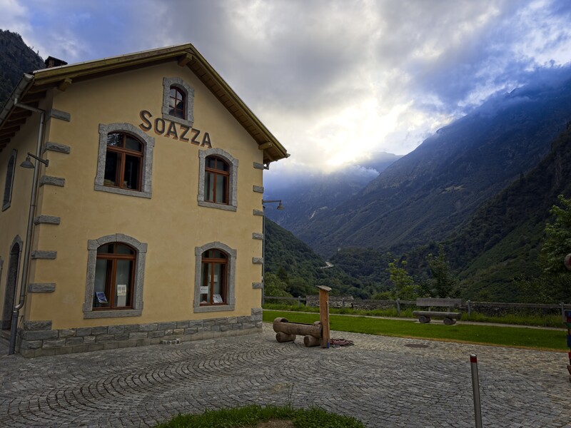
Waiting here for my bus in Soazza...
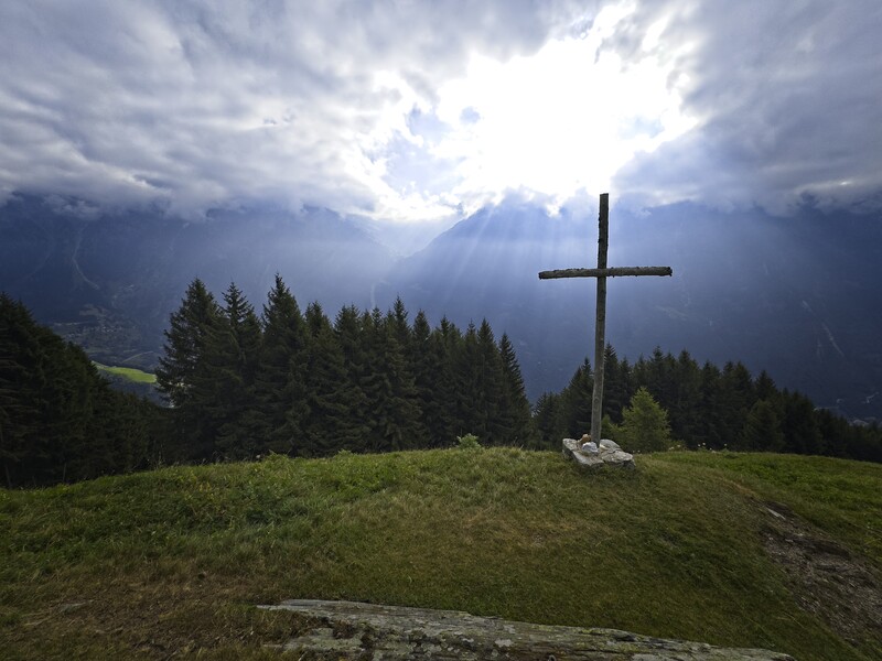
Beautiful morning in Ceta Sot with the donkeys
I was amazed to find how logical this somewhat mystical statement is. Error leads to death because it occurs in Time, and all things fail in Time, especially this poor body!
So...okay...now I was where I wanted to be: contemplating things in a fresh way. This is the gift of solitude, and what a joy it is to be able to experience it in this crowded world. Crowded with my desires, which ever multiply and complexify.
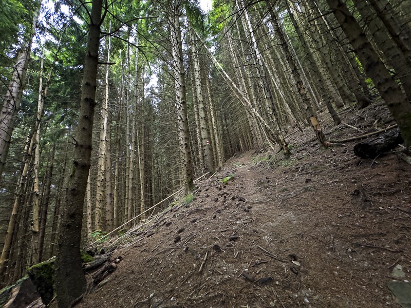
Finally I was above the trees again and crossing the next pass: the Bochetta de Trescolmen (again, around 2200 meters). I descended to an alp and rested on the porch of an empty house, then descended to another gorge...still rugged but less dramatic than the gorge of the day before. Here I met a friendly couple.
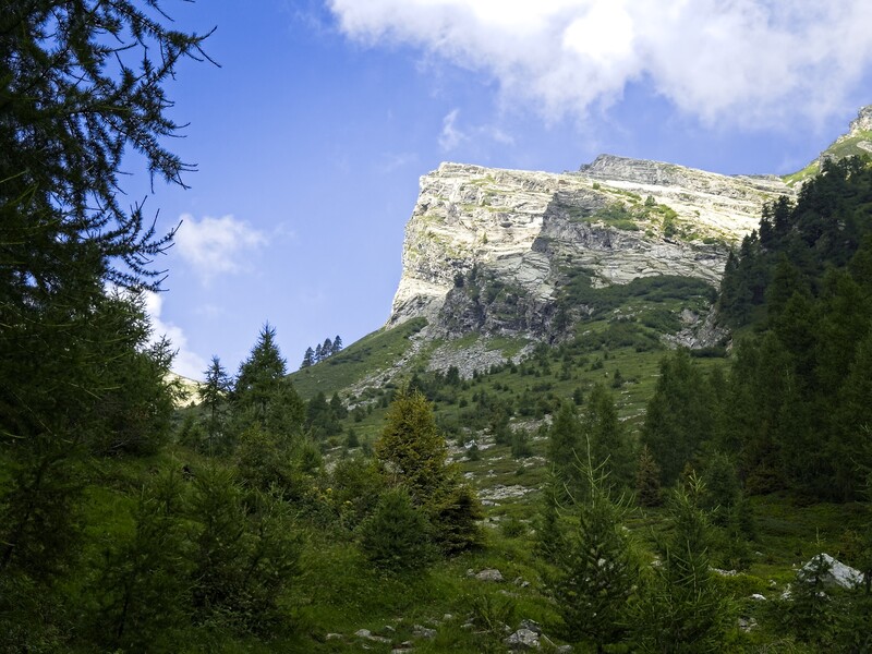
Looking up to the Bochetta de Trescolmen
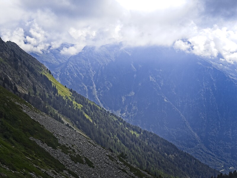
Looking back to the east, the country of the day before
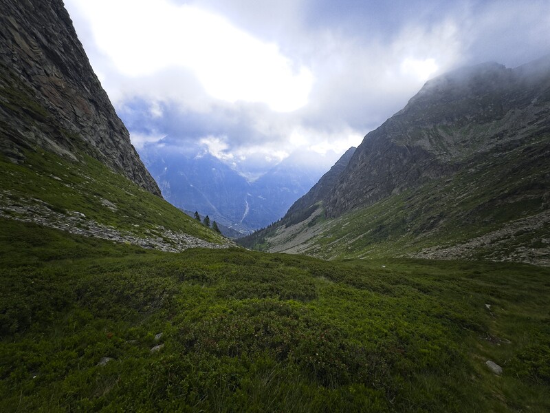
Time for another steep, westward descent!
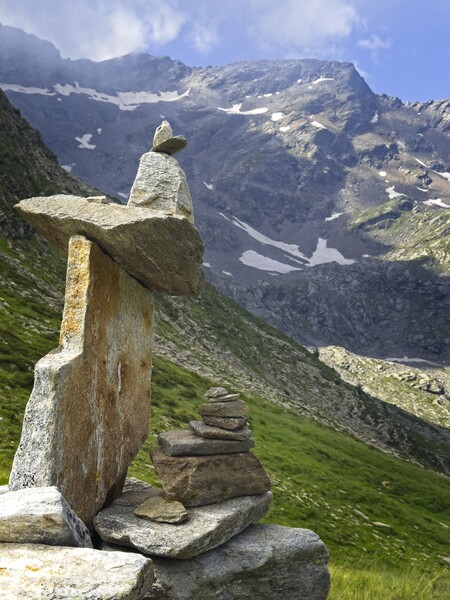
A balanced scene in high country
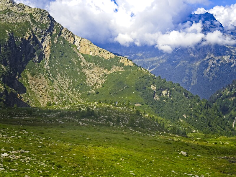
The sun is melting the clouds here...
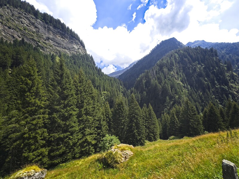
From the hot valley floor, looking up to my descent
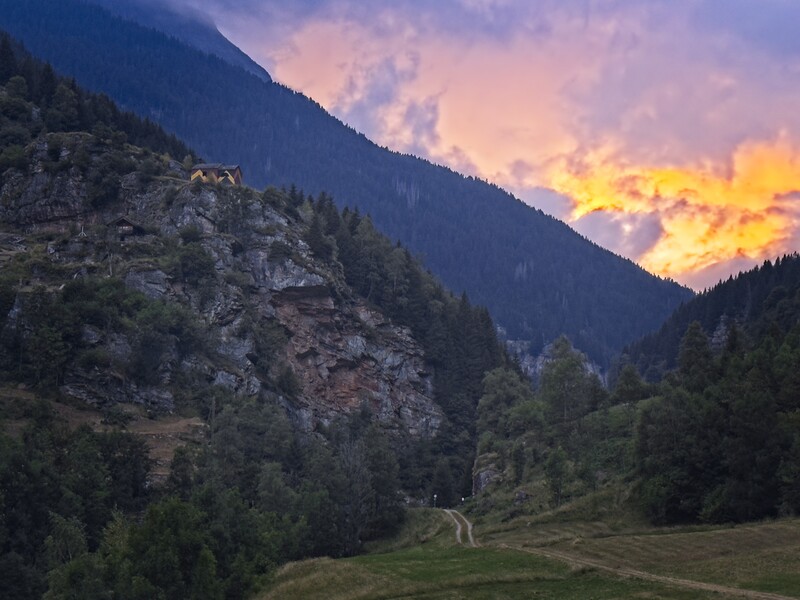
I continued down into the trees and reached a settlement called Valbella, seemingly inhabited by vacationers from the hot plains of Italy. I walked downvalley into Rossa, and stayed at a pension by the river. The nice elderly couple who ran it made me a dinner of polenta, salad and mountain cheese. After dinner I walked around and watched the sun go down and the sky turn pink. I was the only guest, aside from a startling collection of dolls and knick-knacks that crowded the upper floor. I slept to the sound of the river outside...
Day 5 - 16 kilometers, 1700 meters elevation gain to the Capanna de Cava
From Rossa, I kept walking the road south in the narrow, v-shaped valley, then (deviating a bit from the standard ViaAlpina trail) turned up on the west side to a little hamlet called Masciodone where I saw a dog. Above this, a long romp in a steep forest, finally emerging above the trees at a little hut with a young woman washing clothes. It was starting to rain. I waved hello and hurried on, setting up my gear for a rainy walk under a tree as big drops landed in the dirt around. Sheep were here, too.
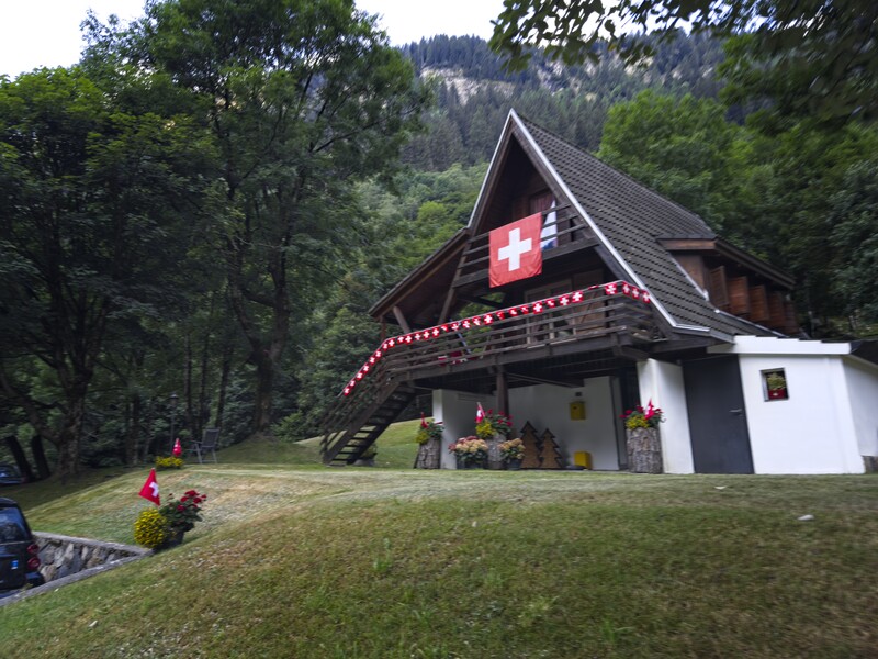
A house along the road...a healthy people can appreciate their flag
I was entering the stony Val del Gabrines. The pass seemed so far away as I climbed the rocky slopes, sometimes using my umbrella when the rain was strong. I found an overhanging buttress with perfect rocky chairs for sitting out the rain and had some lunch. Only a few minutes more of walking brought me to the rocky Bocchetta di Pianca Geneura, a little gap in the mountains. Weather looked a bit better on the west side...
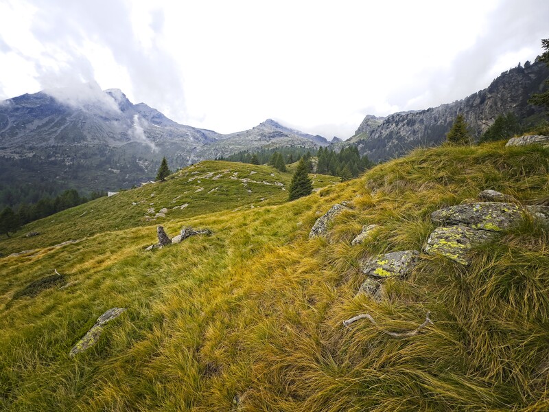
High country approaching the pass
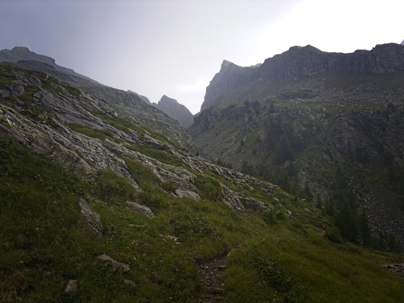
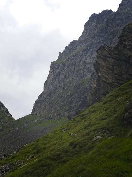
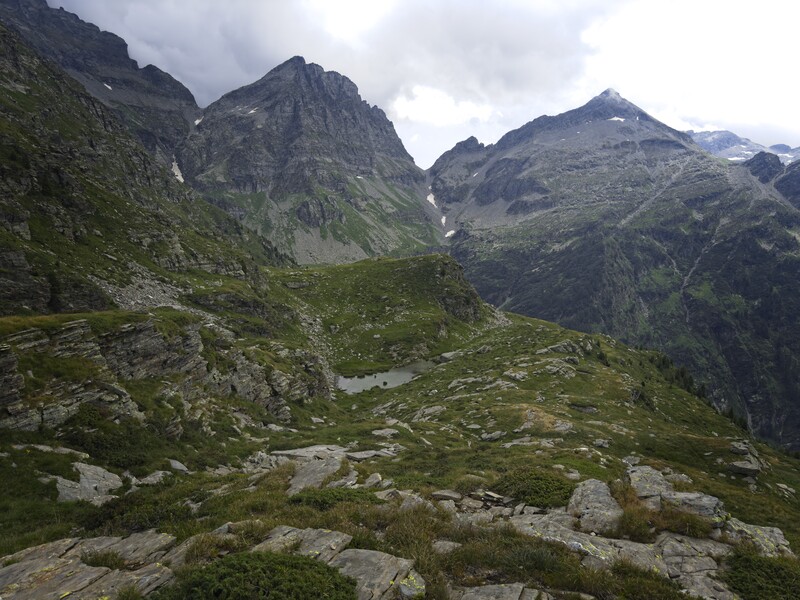
Looking back to the damp and stony Bocchetta di Pianca Geneura
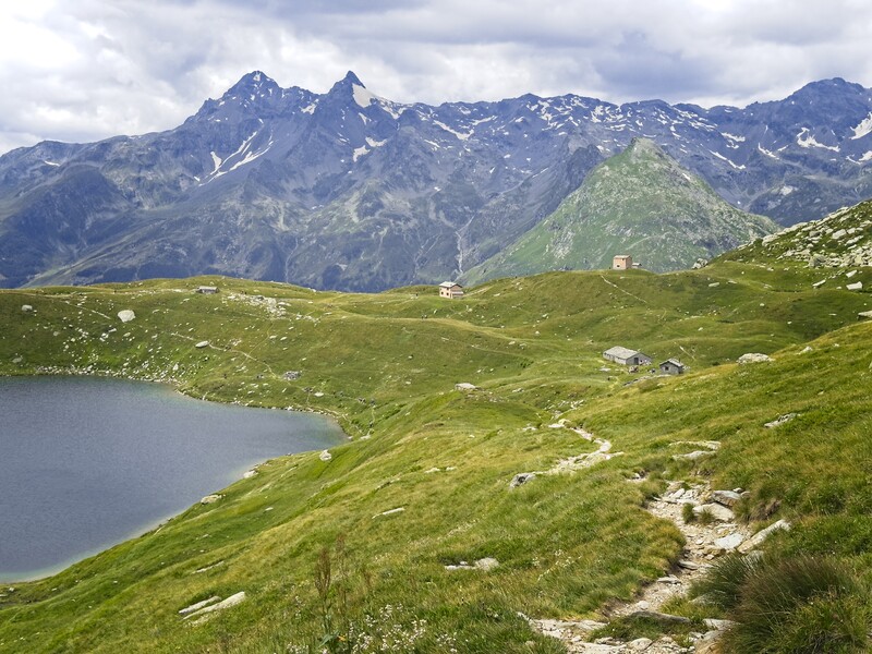
A steep and stony descent brought me to a little alp, then I rounded the upper valley wall and rested for a while at another alp (Alpe della Motta). A short climb brought me to a dramatic pass where I could descend into a basin to the north where my overnight accomodation lay, the Capanna de Cava. The descent was interesting...steep, often traversing, sometimes climbing down granite blocks. I was often in a cloud but occasionally it would depart and I'd see the house below in the sun near a lake.
However, as I descended the rain really started coming down again, and by the time I arrived it was pretty wet out! I put my shoes and other things in a warm place to dry and hung out in the main room.
The hut was run by a single mother with a son and daughter. The daughter was learning english and we had a nice conversation. I talked to the whole family, it was fun. Some other guests were there. In particular a man hiking the Via Alpina. Somehow he had gotten some coffee from the young washerwoman at the hut on the other side of the mountains! He connected me to a "WhatsApp" group of the ViaAlpinists. Apparently there was an American woman with a huge pack some distance ahead of me. This fellow also had a larger pack. In general, everyone was prepared to camp even if they didn't do it very often. I should probably be that way too...the hut every night becomes quite expensive.
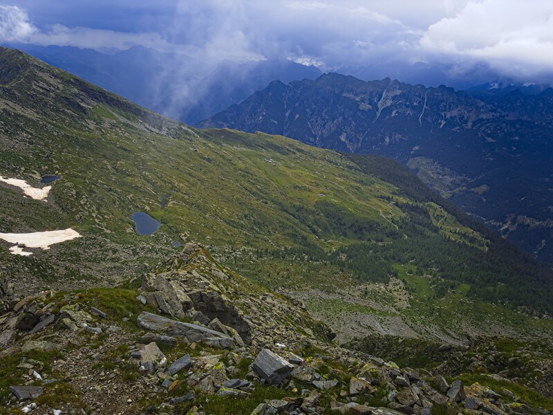
Looking down to the Capanna de Cava
I also spoke in german with a woman from the valley below. She told stories of the cats in her family. She was crazy for cats! She also had a son who died. She was an artist too, very interesting person.
We had a great dinner and I stayed up the longest, enjoying the great room on my own for a while, then retreated upstairs to my corner of the bunk room.
Day 6 - 12 kilometers and 250 meters up (but 2000 meters down!) to Biasca
A short climb brought me to the Forcella di Lago, a beautiful spot with a lake and rapidly descending valley below it. The valley floor lay 2000 meters below, and would be shimmering in the heat by the early afternoon. I went down and down, finally rounding the valley wall to reach mid-elevation settlements, both maintained and abandoned. Farmers traveled these tiny roads with equally tiny vehicles, seemingly specially built for such terrain.

A "pano-rama" from near the lake
At one point I descended stone steps for 500 vertical meters. What a lot of work must have gone into creating that staircase! Later, a long forest walk got me closer to town, and I emerged in heat and sunlight beneath two women working on scaffolding high above, repairing some kind of fresco on an old building. I remember liking their easy energy with each other and soft voices. I went into a church and made some time with God. I'd asked for some special help on this trip, and I'd definitely received it.
I ate an excellent lunch, a kind of "white pizza" with delicious Bufula mozzerella. I then went to my hotel to get out of the heat -- it was oppressive! Later in the evening I went back out to walk to the supermarket on the south end of town.
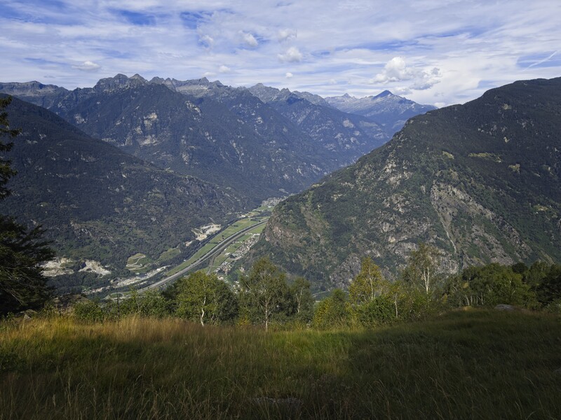
Biasca, pretty hot down there!
I had a slight problem now. The next days of trail were destroyed by flooding in June and wouldn't reopen this year. I wasn't taking it that seriously, but the ViaAlpina hiker and his "WhatsApp" group had made it plain that the trails were definitely destroyed. There was an extensive re-route, but it looked uninspiring -- lots of road walking, and avoidance of the high country I wanted to follow.
I decided to skip ahead and take a train to Realp, then over the Furka Pass to catch the Via Alpina again where it emerges from the southern, now-wrecked Italian valleys at Ulrichen. The train would consume a half day, then I'd be walking down the Rhone River Valley for several days. I'd get a view of the Aletsch Glacier emerging from the high peaks and see the Valais peaks on my left side. That sounded more fun!
I had bad luck with glasses at this hotel. I dropped a beer bottle and it broke. And in my room at night, I broke the water glass in the bathroom by bumping into it. Ach!
Days 7 through 10 - Ulrichen to Gampel

75 kilometers and 4510 meters elevation gain
