Zahnkofel Normalweg (III+)
Friends: Only God!Location: Zahnkofel
Elevation gain: 1000m = 1000m
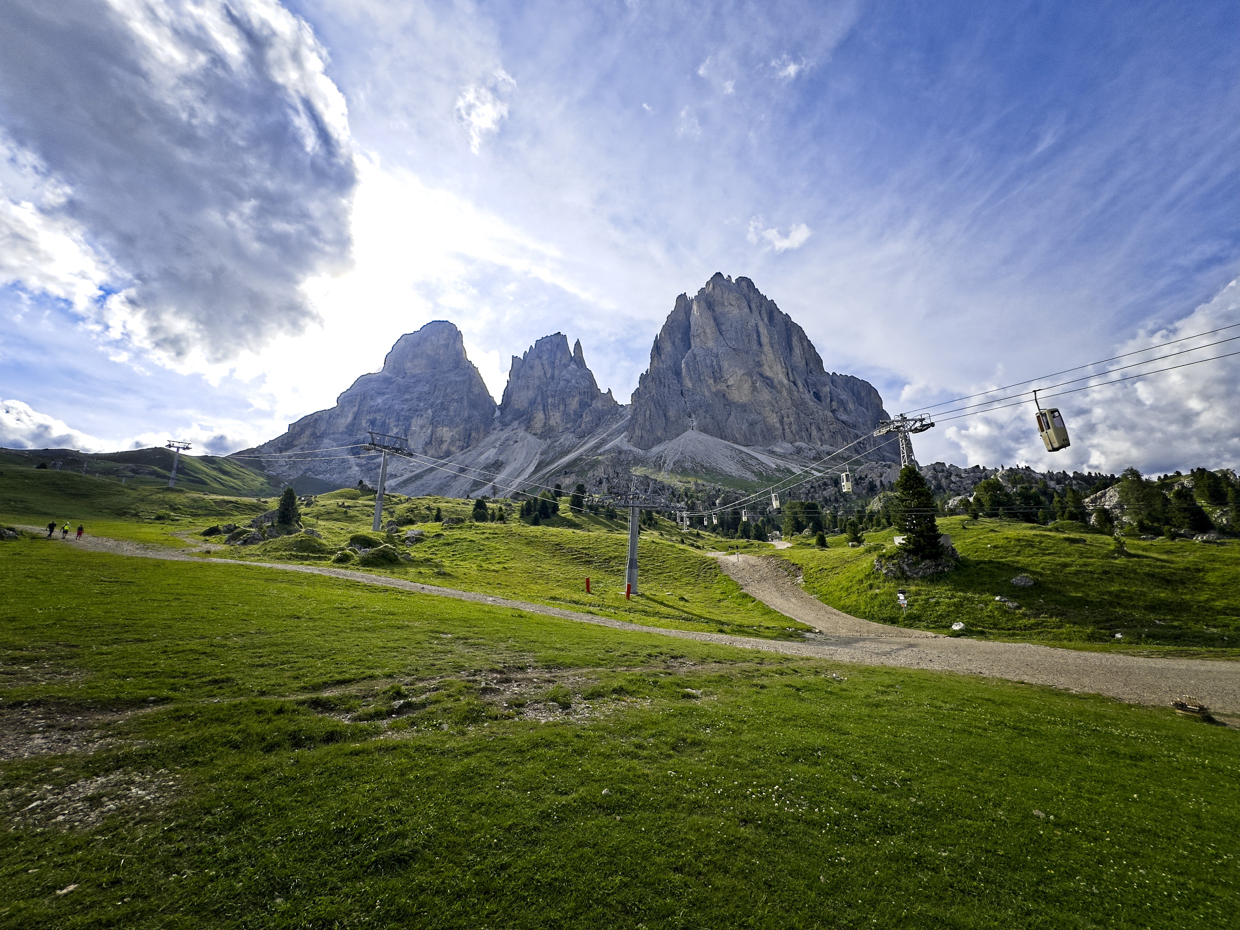
Hiking up from the Sella Pass in the morning
Looking for a nice scrambling route, I had my eye on the Zahnkofel in the Langkofel Group. I hiked up with a 50 meter half rope for making rappels, a few slings, rock shoes, and an ice axe and snow spikes for my running shoes. After watching a couple climbers on the "Way of the Chalice" route on the Innerkofler Tower, I walked around the south buttress of the Zahnkofel, and found the access gully leading up to the Östlichen Plattkofelscharte where my route begins.
The next hour or so was pretty interesting. I found hard snow in the gully even below the chockstone which required grade III rock climbing to pass. I put on the snow spikes and kicked steps up to the chockstone. Its condition was alarming. There was a solid bolt in the little cave under the rock, and a merry burbling of water running over the smooth walls that needed to be climbed. I saw no reasonable way to climb it!
Luckily, I'd read on hikr.org about an alternate way on the right side of the gully. First climb a runnel, then work to the left on ledges at grade II. This worked perfectly, depositing me on steep snow above the chockstone.
The snow was hard enough that I resorted to chopping steps with the adze of my axe, something I'd done more reading about in 19th century alpine stories than actually doing! This was effective, though tiring. Higher, the angle eased off a bit and the snow carried a load of rocks frozen into it, which made passage faster. I decided to exit the main gully on the left for a rocky chimney. This was a mistake, as the quality of the rock made it riskier than whatever trouble the snow gave me. After a few difficult moves I didn't want to have to reverse, I was above all the snow. I left my axe, gloves and spikes here (not very smart, because later, coming down the gully, there would be cascades of falling rock!).
15 more minutes of sometimes annoying climbing and sliding in scree, and I was at the 'scharte, marked with a couple of cairns. Whew!
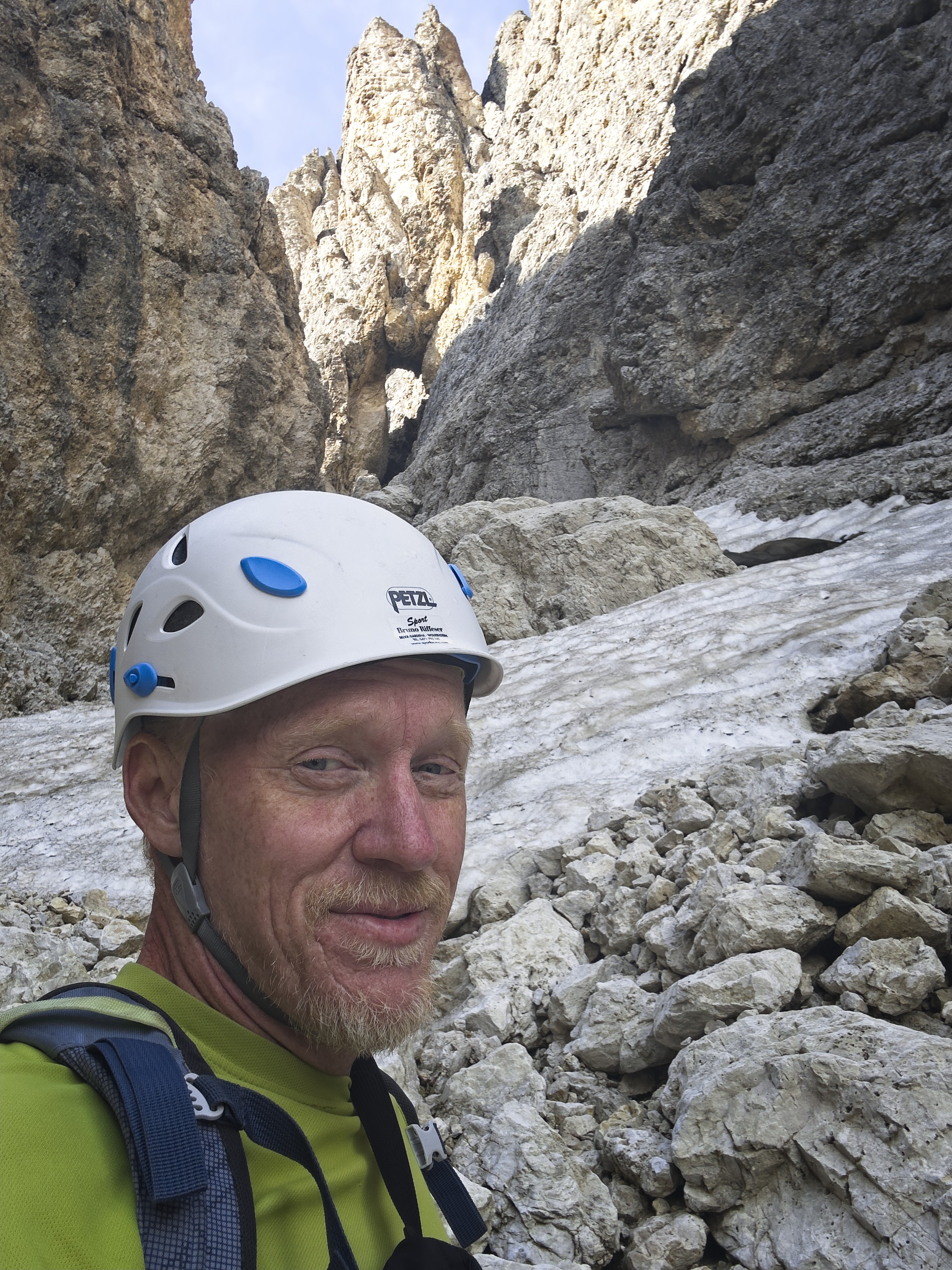
There is my golden mountain, the Zahnkofel...
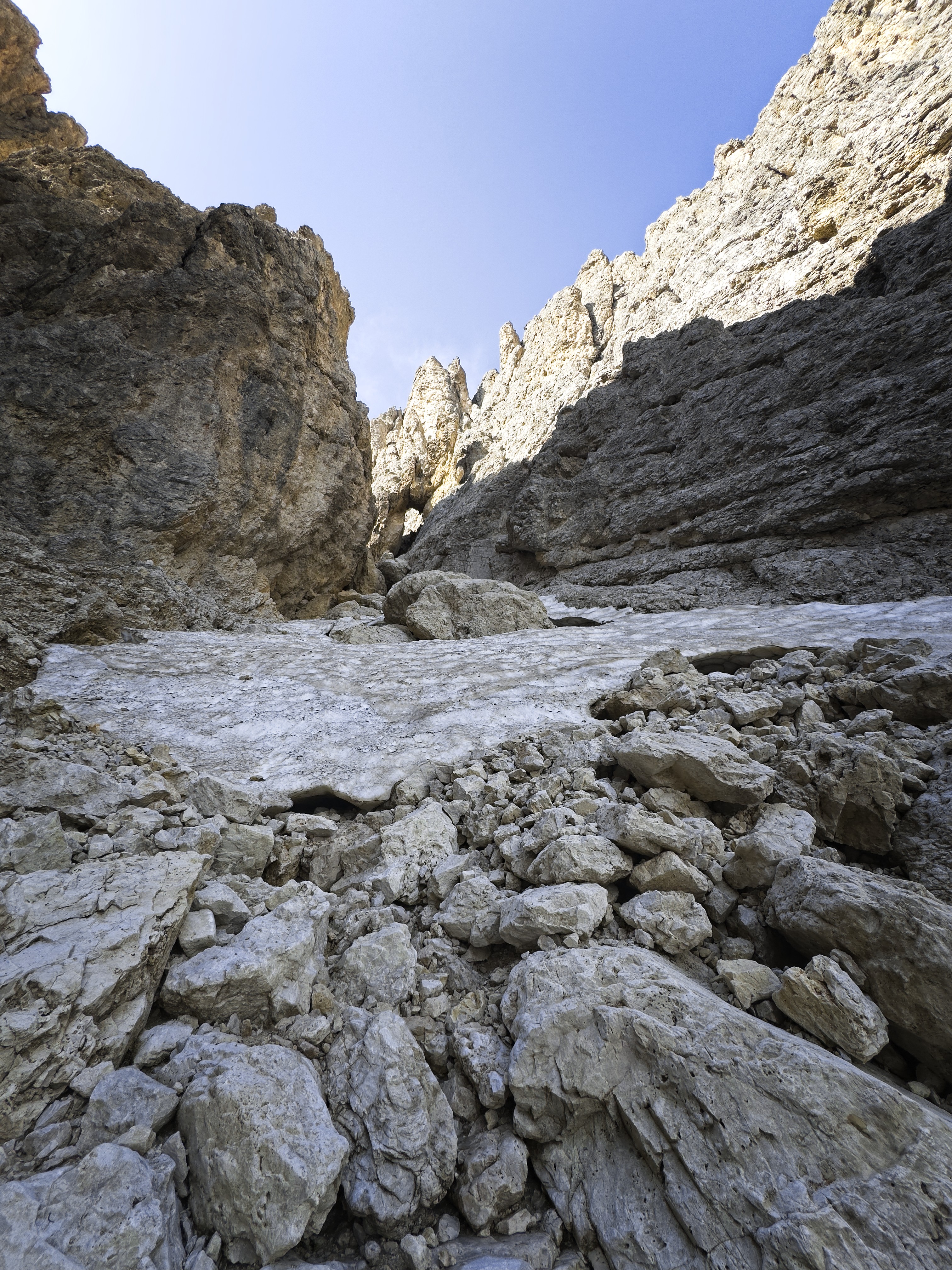
The ugly reality of the approach gully!
My peak is up on the right. I saw a shiny rappel anchor about 20 meters above me and made for that. The route, marked by cairns, then descends a few meters, then descends again more steeply on the left side of a stubby tower. Here the climb begins proper. Leaving shoes and jacket here (only carrying the rope in my backpack now), and switching to rock shoes, I started up and across the grade II slabby terrain which should lead to a hidden gully. I got there sooner than expected, and started up, reaching another good, shiny rappel anchor after a few meters. They've really upgraded those anchors!
Above this was about 50 meters of easy climbing in the gully. In the upper half, I took the right fork for a bit of chimney climbing on decent rock. I reached the rappel anchor (again, shiny) next to an older sanduhr anchor with a nest of ancient slings. I wouldn't trust any of those!
Here begins a grade III+ pitch to reach the 'scharte that tops this long gully. I followed a crack right in the center, where two types of rock fuse, not liking the rock on my left side very much. Above an initial step, the crack became too steep to contemplate, and I switched to indistinct, rather downsloping terrain just to the right. After this, I reached the 'scharte and another rappel anchor. I'd rate that IV-.
Looking down from the base of the 4th (slabby) pitch
Looking up at this pitch, the more sustained difficulties are near
the notch between towers.
Looking out to the north
From there we go directly into another III+ pitch, following slabby terrain up the ridge. About 15 meters up is a sanduhr with a sling. The moves are wildly exposed here and require concentration. It never left me on this climb that handholds can rip out or dicentigrate. In general, even though there are better sections, the rock on this mountain seems to have more to do with the Karwendel Range to the north. It is an alpine climb and there is a degree of seriousness that can't be dispelled.
Anyway, happy to finish the face climb, I found another rappel anchor, then followed cairns wending amid towers on generally easier terrain, finally reaching the summit (I passed another rappel anchor in here, too).
Here, a beautiful white statue of the Virgin Mary awaits you. That brought a smile to my face.
There was a summit log book in a plastic bag. It was brand new! Someone had brought it up yesterday. Sadly, there was no pen around, so I couldn't sign it, but it was nice to admire.
A pano-rama of the north from the summit.
Looking over to the Plattkofel
Summit Mary
A detail of the statue...note the head of the snake, stepped on.
The views are nice, but rather constrained. I saw people on the Plattkofel. I yodeled to the best of my ability, but heard no answering cry beyond my own echos. I was alone all day.
I climbed back down to the rappel anchor above the slabby face and was pretty happy to have my rope with me! Then a short downclimb to the next anchor at the top of the 'scharte. An interesting historical note: the peak was first climbed in 1889 by Luigi Bernard, by a route which reached this 'scharte from the opposite side (looked steep and shadowy to me!). It is reportedly grade IV. The route I was on was climbed by him the next year with two companions.

The abseil over the first pitch. The actual climbing is leaning to the
right.
Again, quite happy to rappel over the crack which marked the upper reaches of the "hidden gully" that dominates the climb. I went ahead and did one more rappel here because the rope was out and it felt restful to use it. Then I downclimbed about 30 meters to the first anchor in the "hidden gully," and set off to try a tricky, leaning rappel out of the gully and off to skiers right. This got me down to my shoes.
I rested, changed shoes, drank the last of my water and started the scramble down to my snow gear. Occasionally, I would benefit from a deep well of scree over the way and could slide a few inches while also feeling secure that I wasn't fundamentally going anywhere! More often however, each new foothold had to be thought about carefully.
I reached my gear, at the same time noticing a shiny bolt and rappel anchor just nearby on the right side of the gully. Yes! I wouldn't have to downclimb steep snow here, nor descend the unpleasant rock chimney I'd come up. Just as my elation peaked, and I was putting on my snow spikes, my pack fell down a gully, I thought I wouldn't see it again till I reached the bottom as it tumbled. But it did stop, on a ledge about 10 meters down, half resting on a block of snow above a black moat. The rope was in there.
So, I planned my descend carefully to avoid loosening rocks to crash onto my pack and perhaps send it into the moat or flying further down the gully. I mostly succeeded, but one largish rock nudged the pack, which I didn't like to see.
Holding my breath, I grapped the pack, put it on, and reascended. Whew!
At the rappel anchor there was a curious hole into which rocks would fall, and come out below me. This whole area had a feeling of uncertainty about it!
I rappeled here to a point in the snow gully marked by rocks frozen into the snow. Putting the rope away I descended about 30 meters, disliking the way my steps would collapse rather easily. I did get good deep belays with the shaft of my axe from time to time, but often had to make due with the pick.
I was happy to see another rappel anchor with which I could avoid descending the steepest part of the snow. A sketchy traverse to the side on rotten rock and frozen snow to reach it, then a short climb up a gully allowed me to clip the bolt, thread the rope through, then descend the gully on rappel where I could flake the ropes. I descended happily to the anchor above the chockstone, thinking I may as well go that way if it is protected by anchors.
My stashed snow gear, here I lost my pack for a while. Note the anchor, and
note the hole to Hades just below it. Careful!
Preparing to downclimb some snow for a while...
Below all snow. You can barely see the chockstone, currently a waterfall.
Relieved!
However, the merry sprinkles of water had turned into a respectable flow. Trying to avoid soaking the rope, I tossed the strands over the lip of the chockstone and started down. But it was inevitable: I was soon soaking wet from descending in a waterfall, water from the rope squeezing into my pelvic region, and spray covering my chest and face. Uff!
Below the chockstone, I hurried to get the rope out of the water, and put away in the pack, then started moving to reach a patch of sun and warm up. Note to future climbers: better to descent the grade II ledges on skiers left!
The Marmolada
A panorama looking west...
The need to be very careful about loose rock didn't release me until the very last moment where I reached the bottom of the access gully and sent a marmot gamboling away into his tunnel. That felt like a real climb! Thanks to God for enhancing my testing abilities. The key to safety here really is the ability to recognize if you can stand or pull on something, or if you had better avoid it. And don't lose the route. And really think about bringing real boots and crampons!
Goodbye Sassolungo Group!