Cannon Mountain Northwest Ridge
Friends: Only God!Location: Cannon Mountain
Elevation gain: 1950m = 1950m
For my second hike in the Leavenworth area, I decided on Cannon Mountain, getting the idea from Jeff Smoot's book.
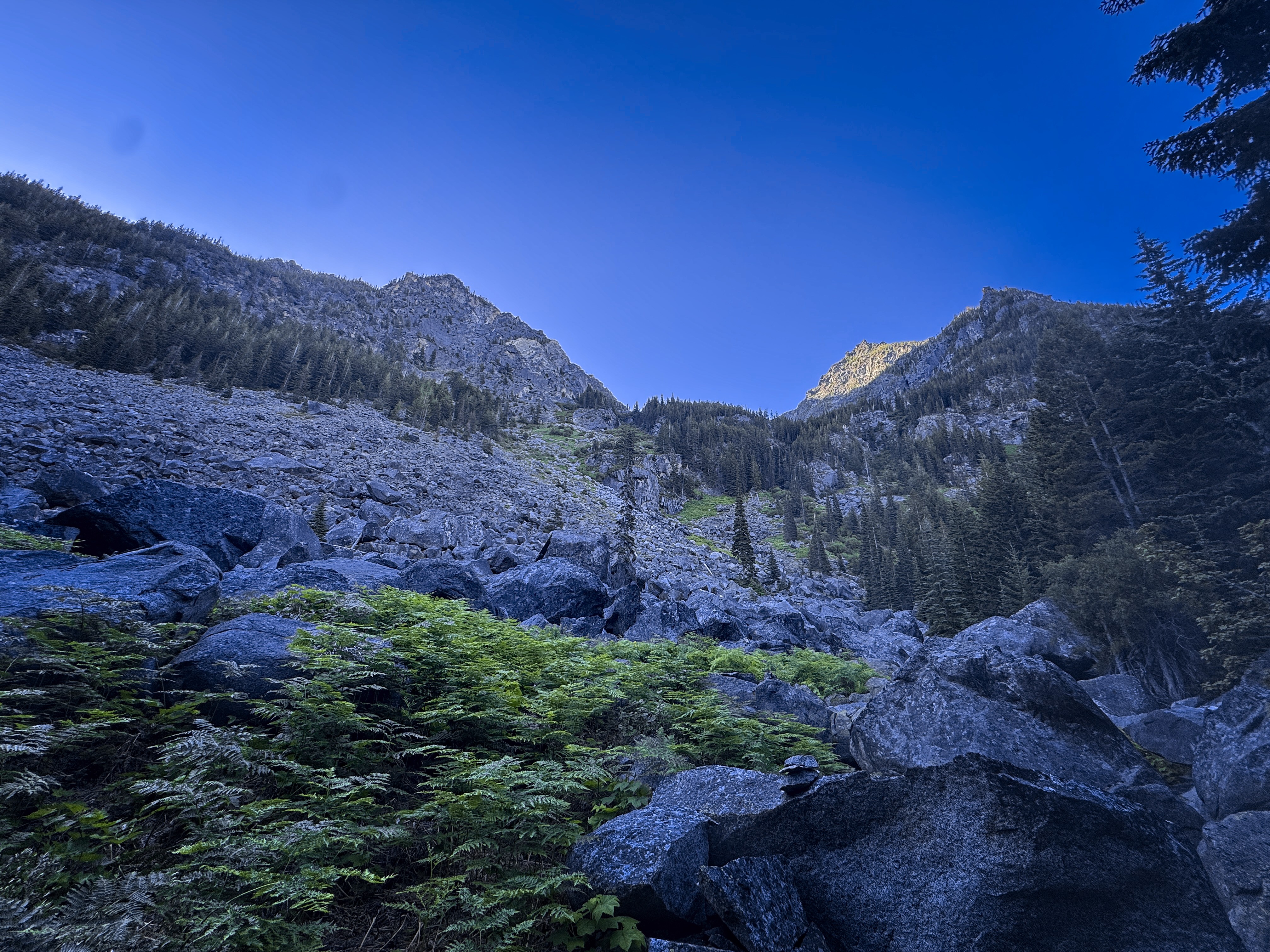
What have I gotten myself into? Looking up into the
long bushwhack.
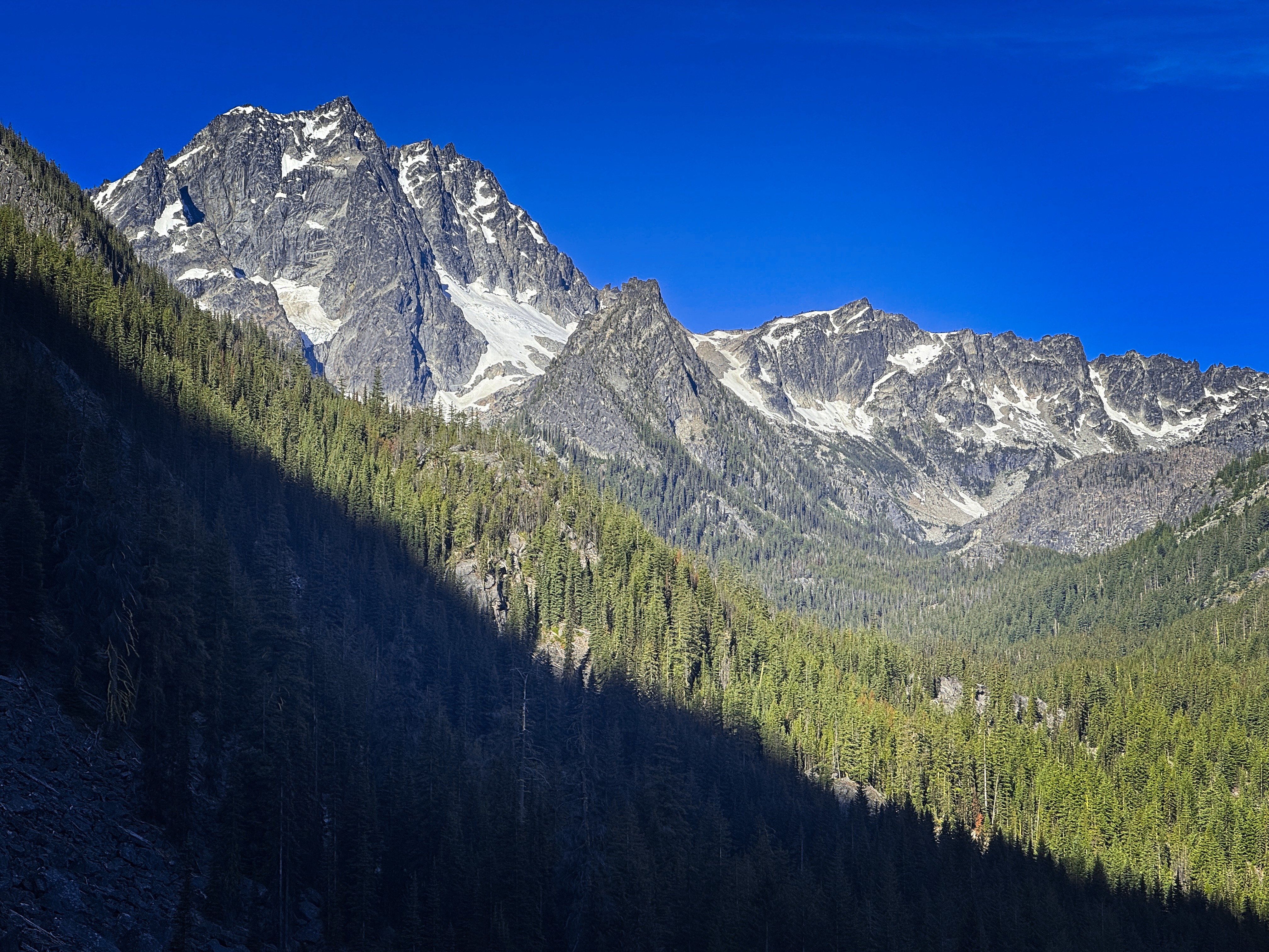
Looking across to Stuart.
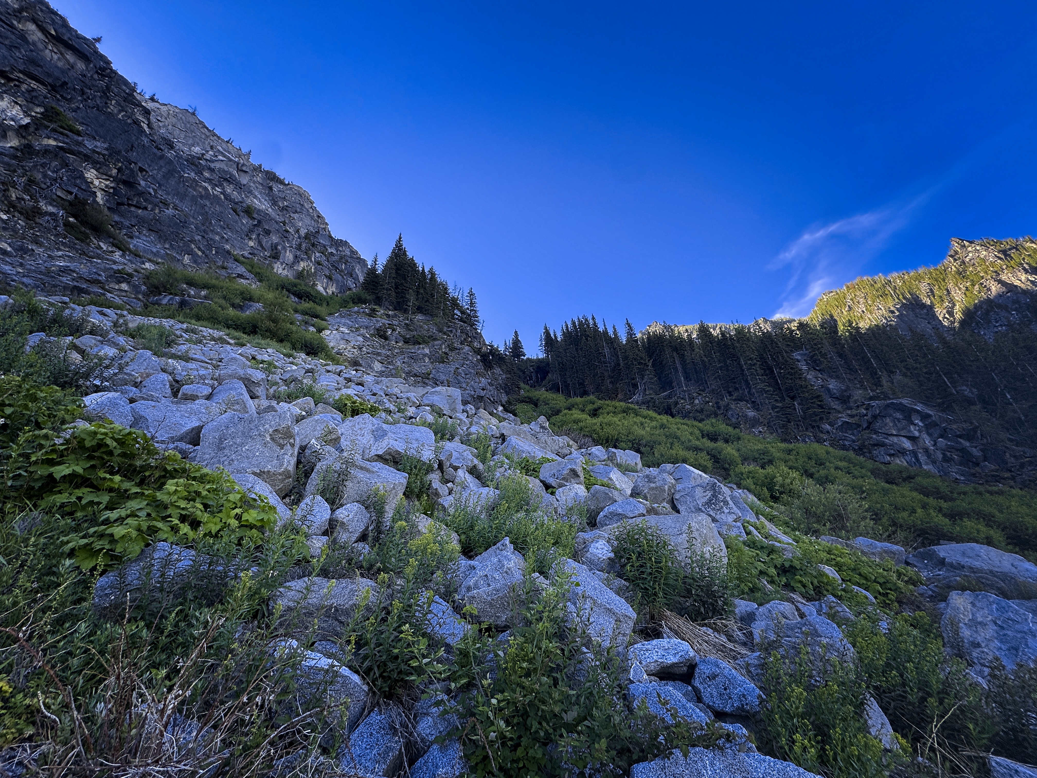
Higher on the route. I went right of the cliff.
I followed a GPS track I found on the web. Hilariously, I thought there was a trail, but boy was I wrong! There was a hint of a trail at the brushy and densely forested point where I left the Stuart Lake trail, just enough to keep me moving up. It dropped me into a boulderfield, which I followed up for 500 feet of elevation gain. Then I had to choose between a rocky cliff, or dense brush along the base. I started up the cliff, but the climbing became a bit too real this low down on the route. So I went into the brush. The next 1000 feet of elevation gain were true Cascadian Adventure...one foot smearing on a granite block, the other foot in squelching mud...one hand pulling on a vine, the other digging into black dirt! Just an exhausting sequence.
But it did eventually come to an end. I got to country with less vegetation as the valley rounded a bend at about 6250 feet. Traveling northeast upslope to gain the ridge crest became relatively pleasant, only the occasional brushy copse of young trees slowed me down momentarily.
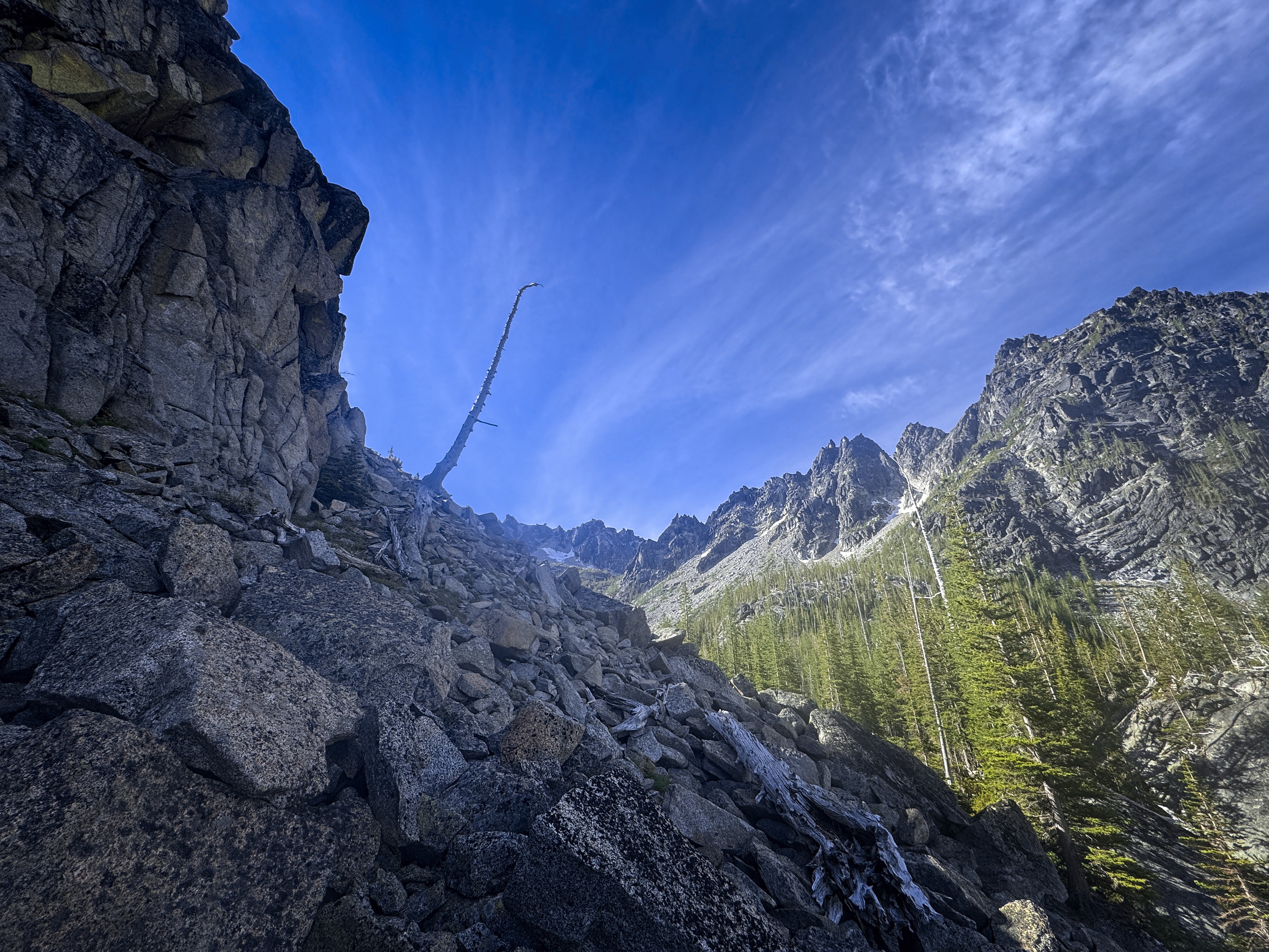
A remarkable tree at the point where the canyon turns and
the worst of the brush is finished.
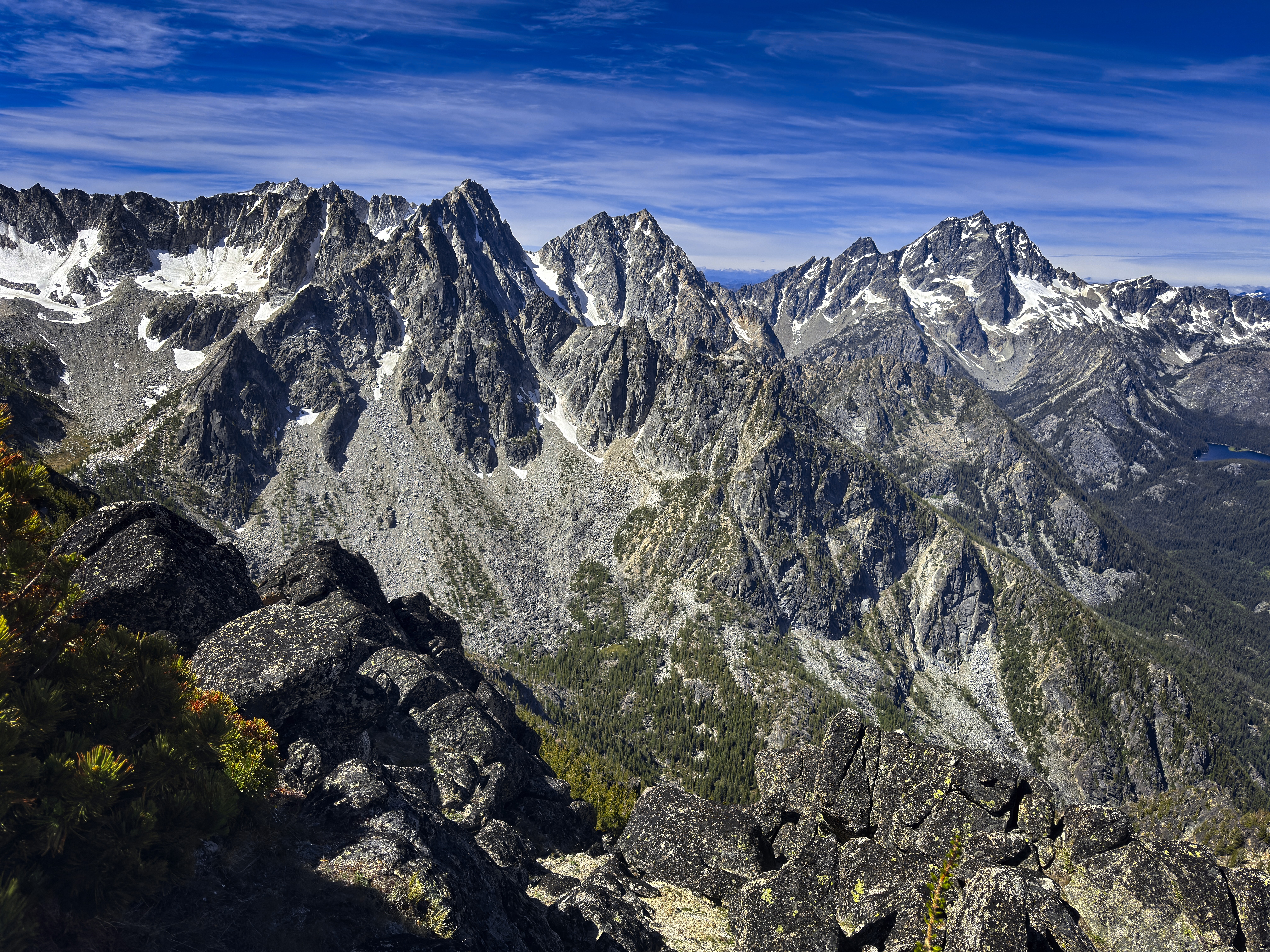
A view of the Stuart Range from a bit higher.
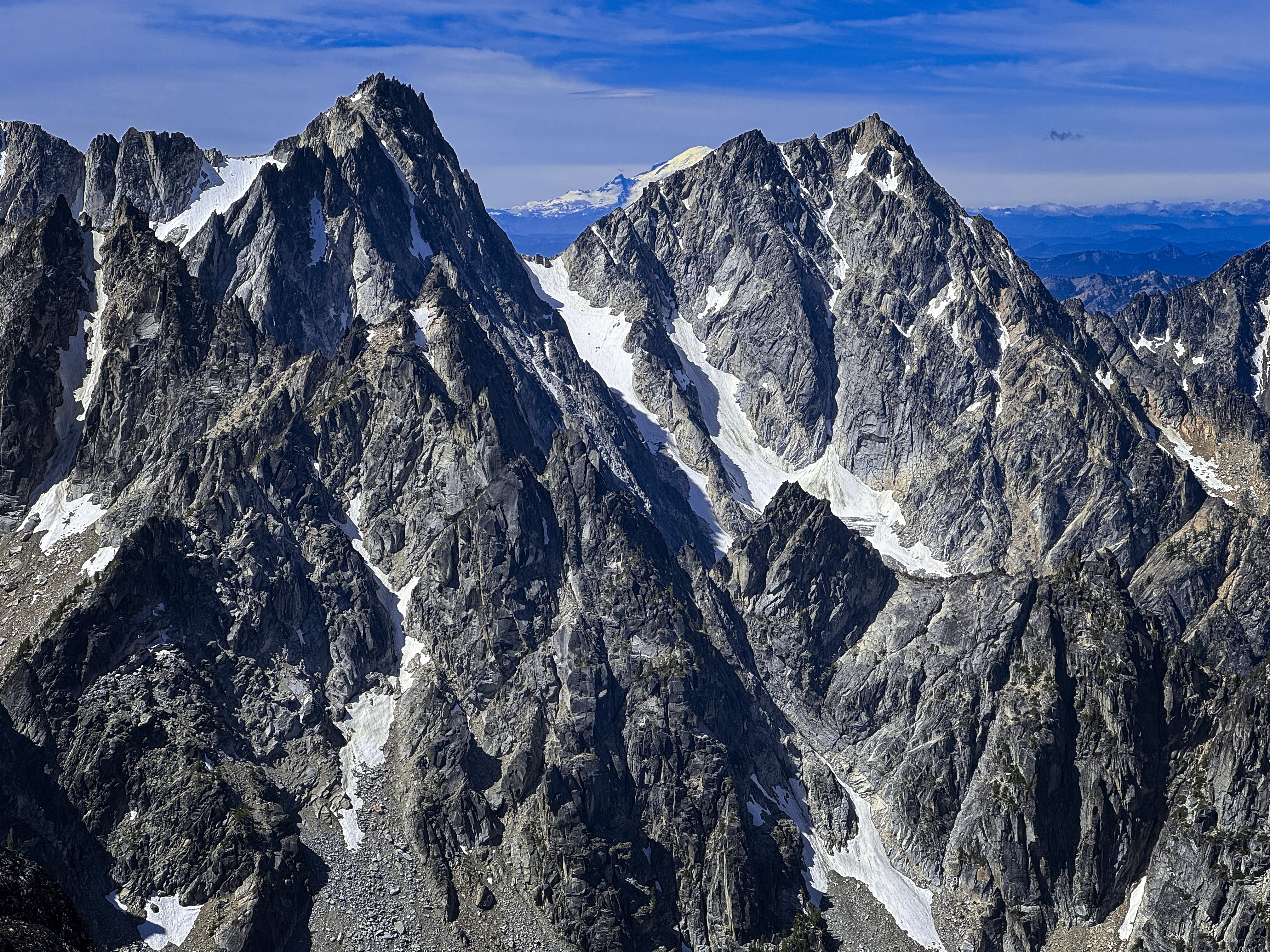
A close-up of same.
Finally, at about 7750 feet, I was on the ridge crest. Soon it got rocky and interesting. Generally enjoyable scrambling using hands from time to time followed. At about 8200 feet I made an unnecessary detour from the crest -- I should have stayed on it, because my way had a couple low 5th class climbing moves to get around a buttress.
I tried to access the summit, but the exposure was too high. So I went around to the south side and was able to climb it from the crest (4th class). Whew, what a lot of work! But I was happy to be on top.
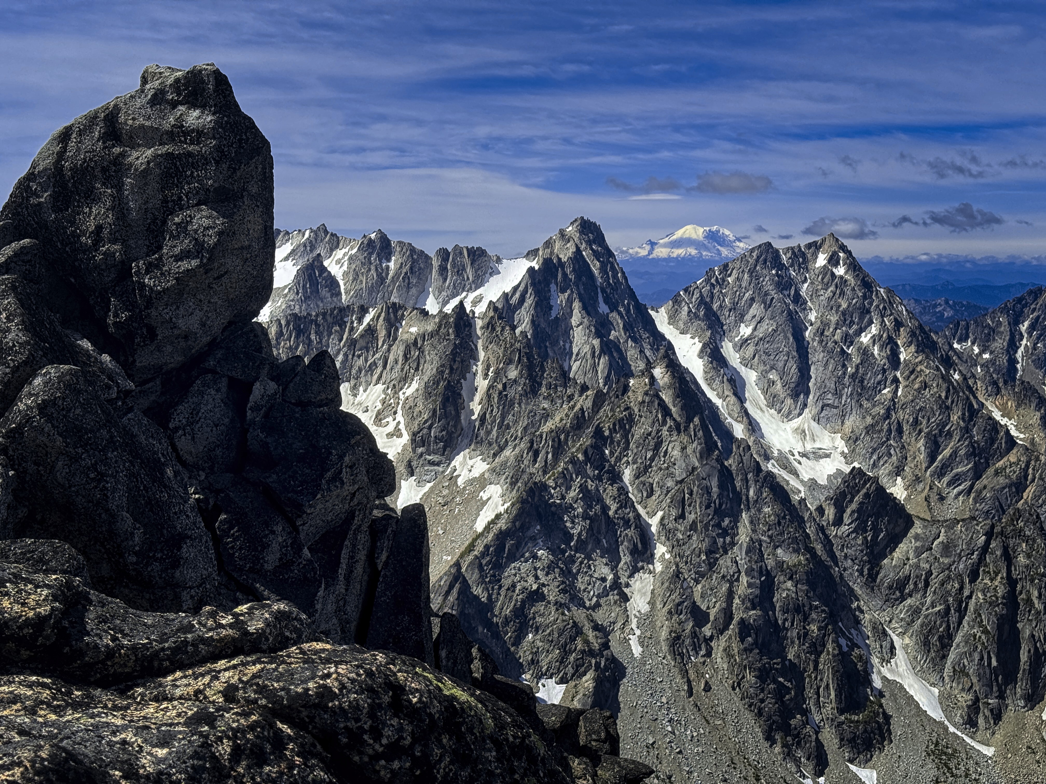
At the summit.
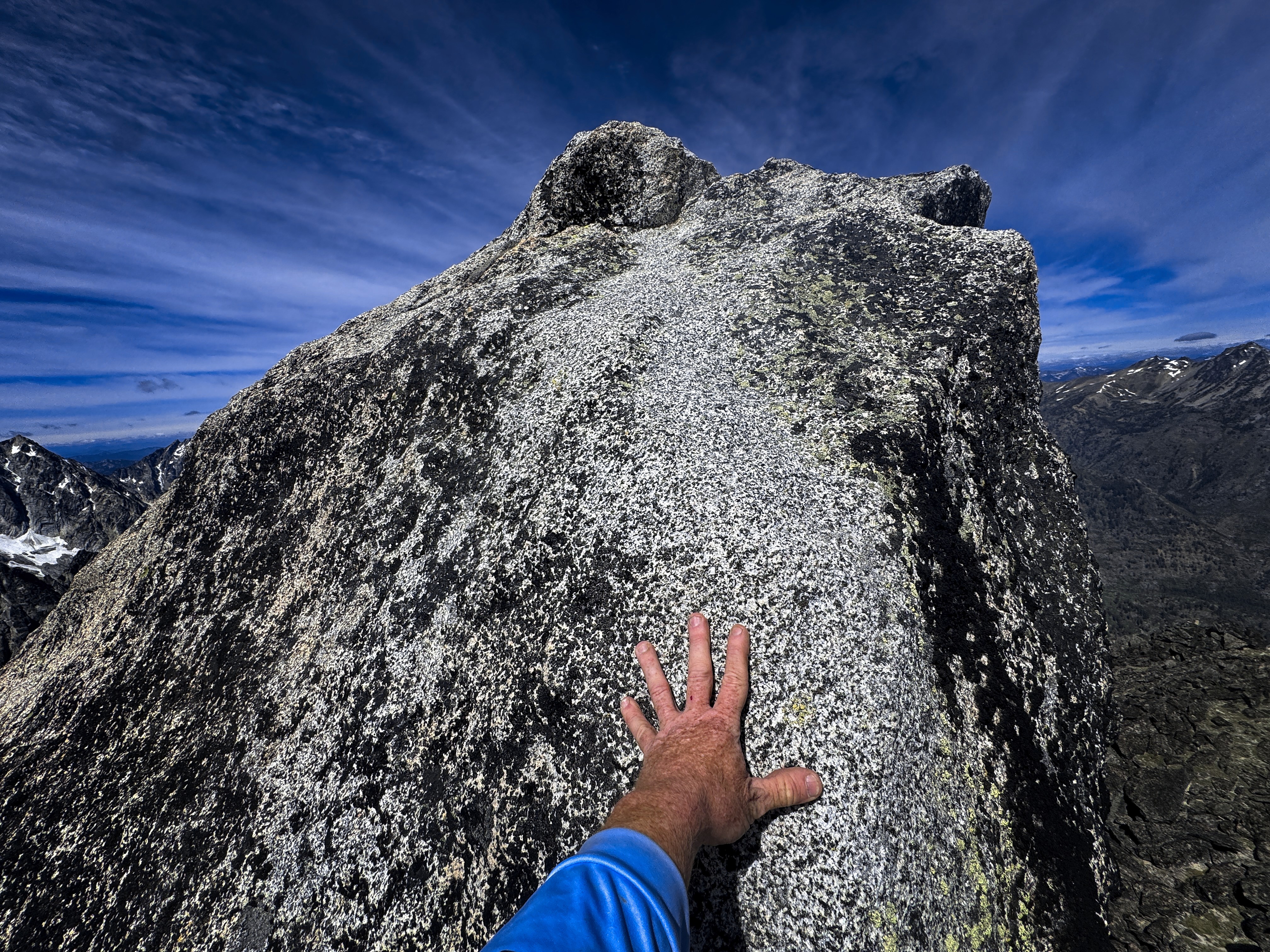
At first I found it hard to stand on the very top.
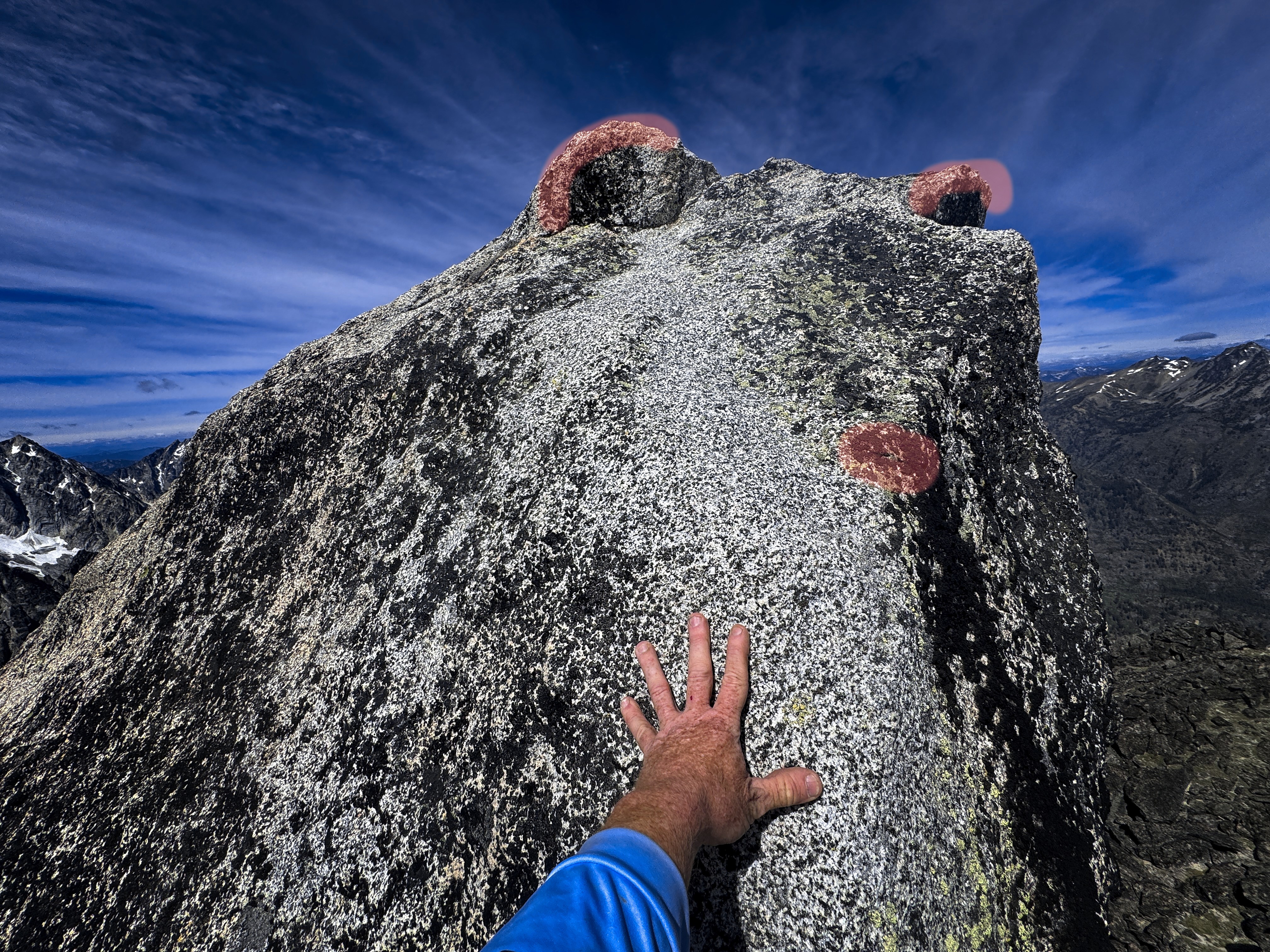
It must have been this arresting spirit who
intimidated me!
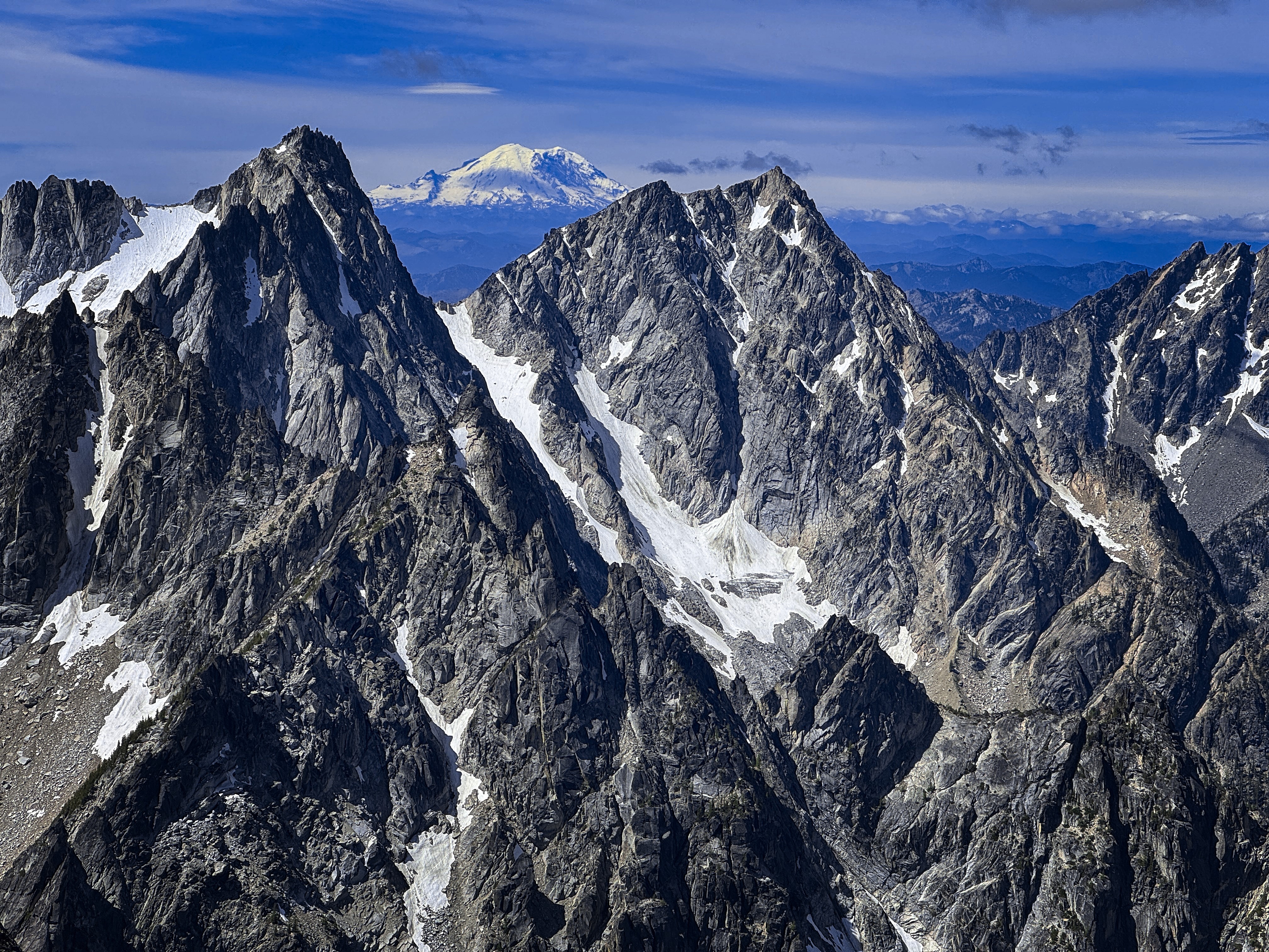
With Rainier behind...
Now, I descended to the Druid Plateau, a pleasant place of rocks embedded in a plain. From here, I traveled down and southeast past lakes, making for Prusik Pass. This was interesting cross-country travel with occasional trail. Next, I could follow good trail down to the outlet of Perfection Lake, then up to Inspiration Lake. By now, I was beat! But I had a long ways to go. I passed many other lakes, ever climbing up to Aasgard Pass.
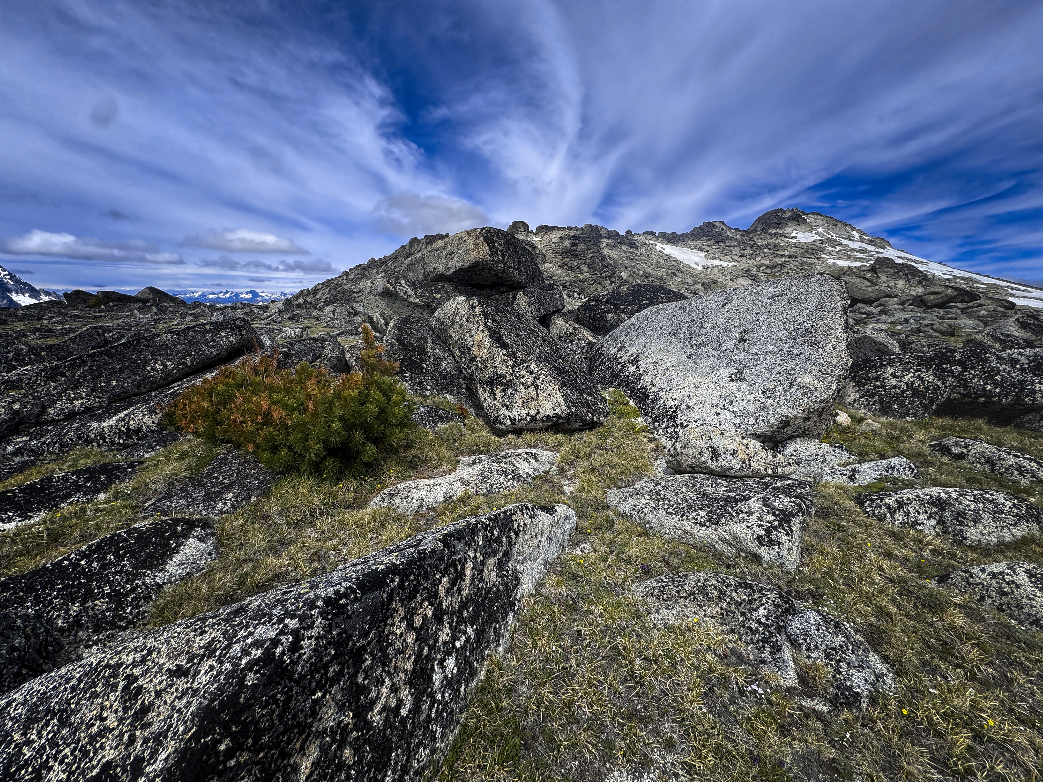
Coming down into the Druid Plateau...
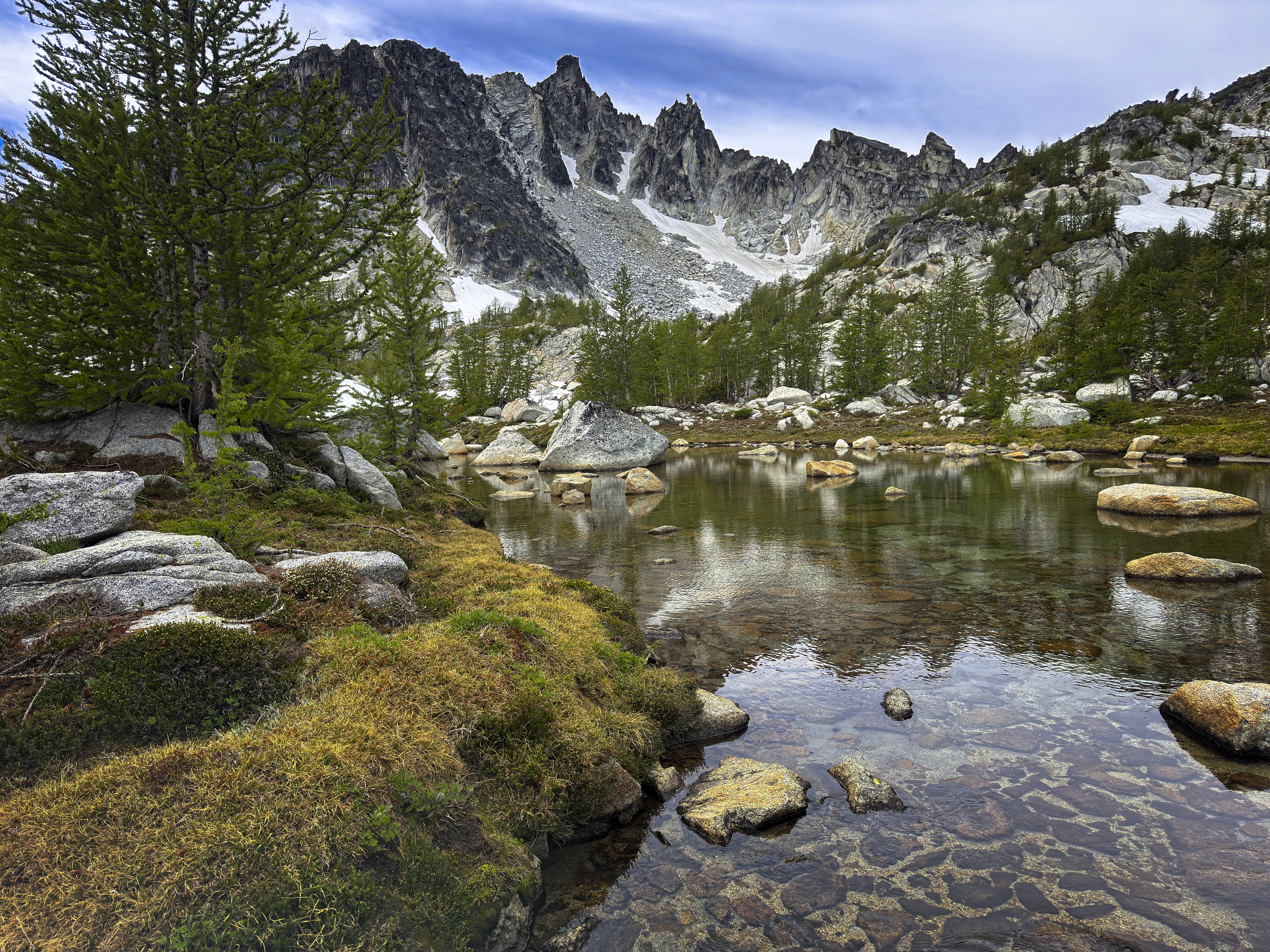
Beautiful lakes on the descent.
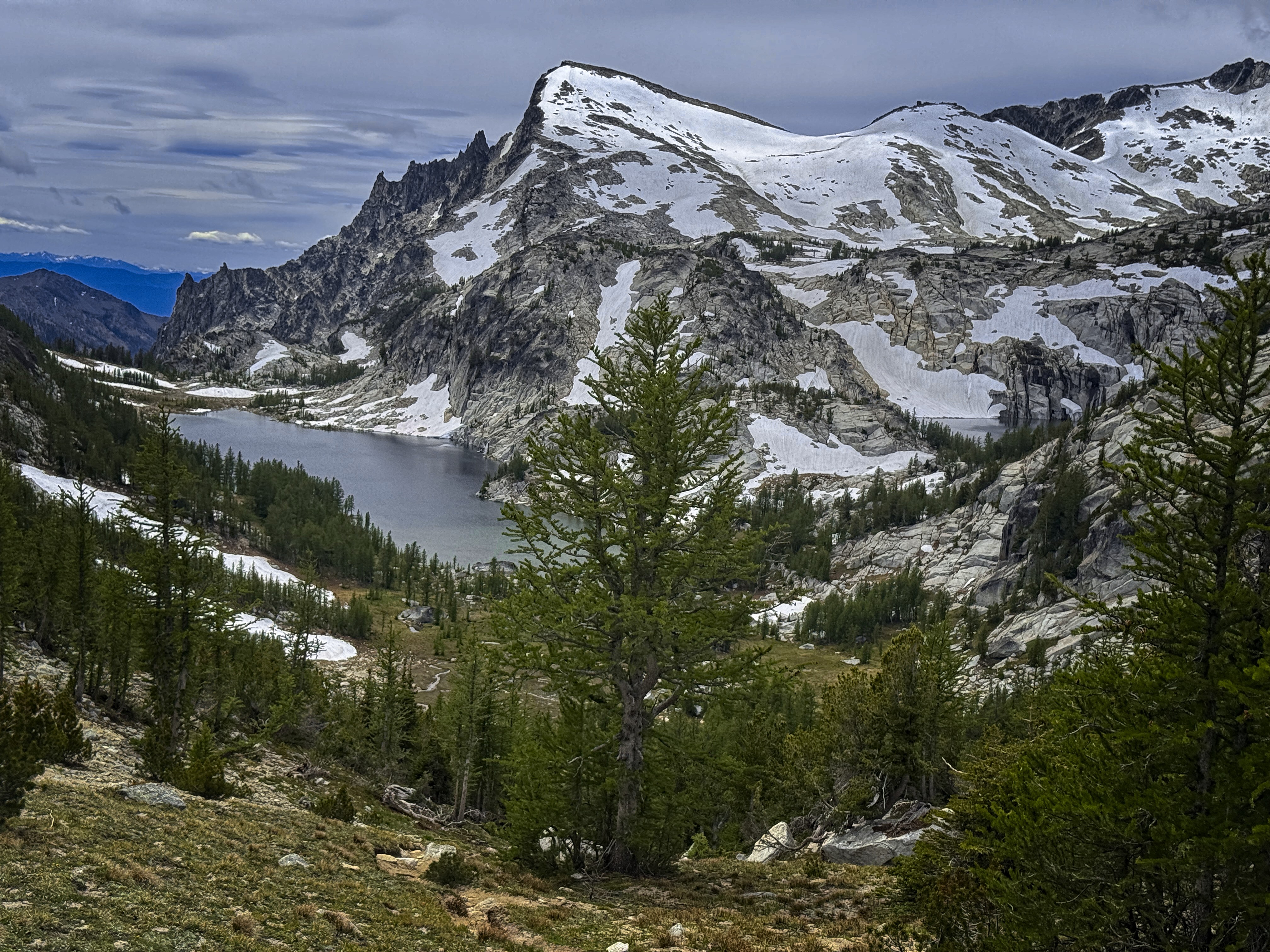
Perfection Lake and Little Annapurna.
On the way down, I admired the cliffs of Dragontail Peak, which I knew so long ago. Making my way around Colchuck Lake felt rather slow and painful. Finally I was heading down to the junction with the Stuart Lake trail, where a deer led me about 1/2 a mile before becoming annoyed that I was following her and scampering into the brush.
13.5 miles for the loop, with 6410 feet elevation gain/loss.
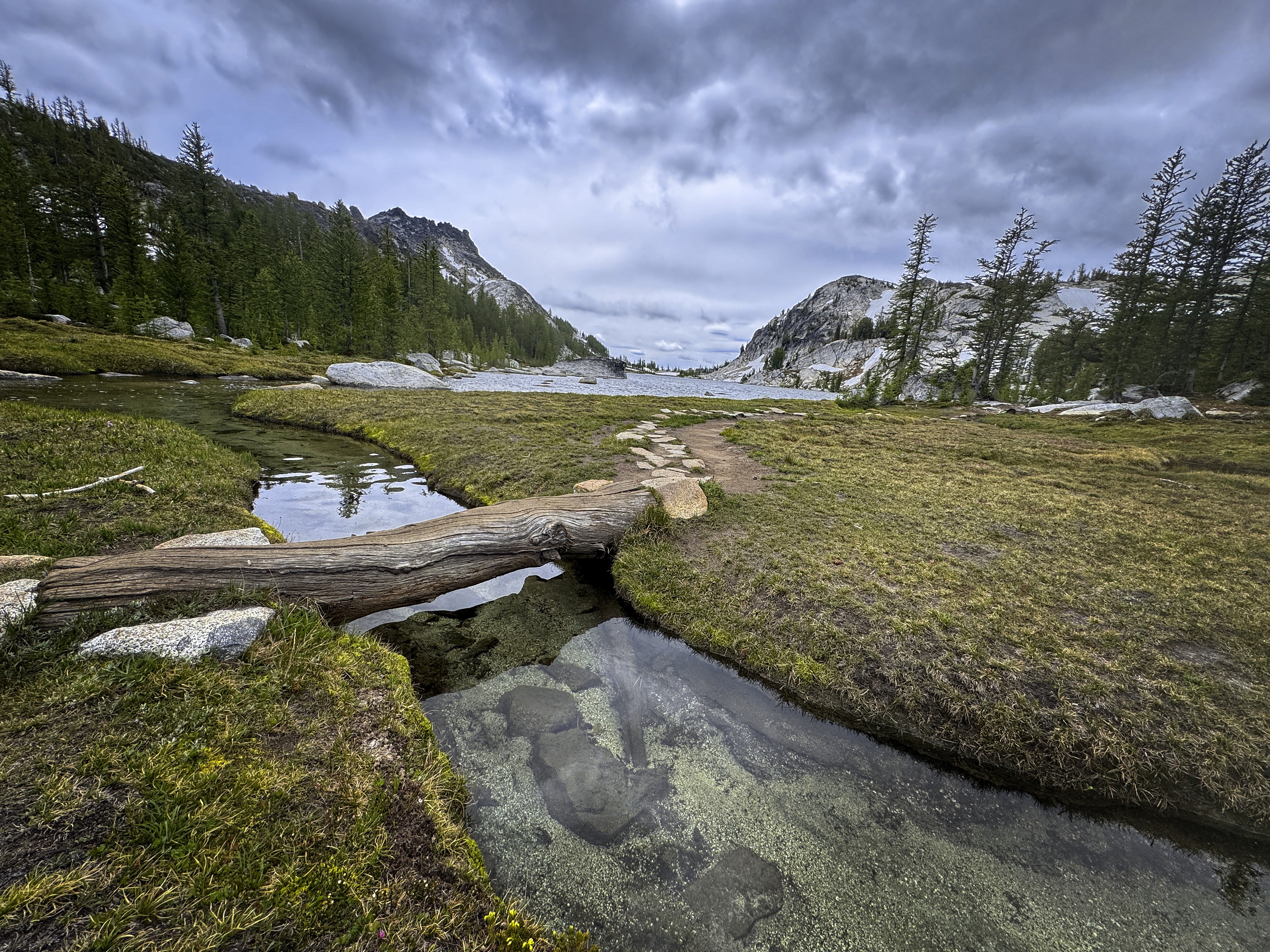
An outlet at Perfection Lake.
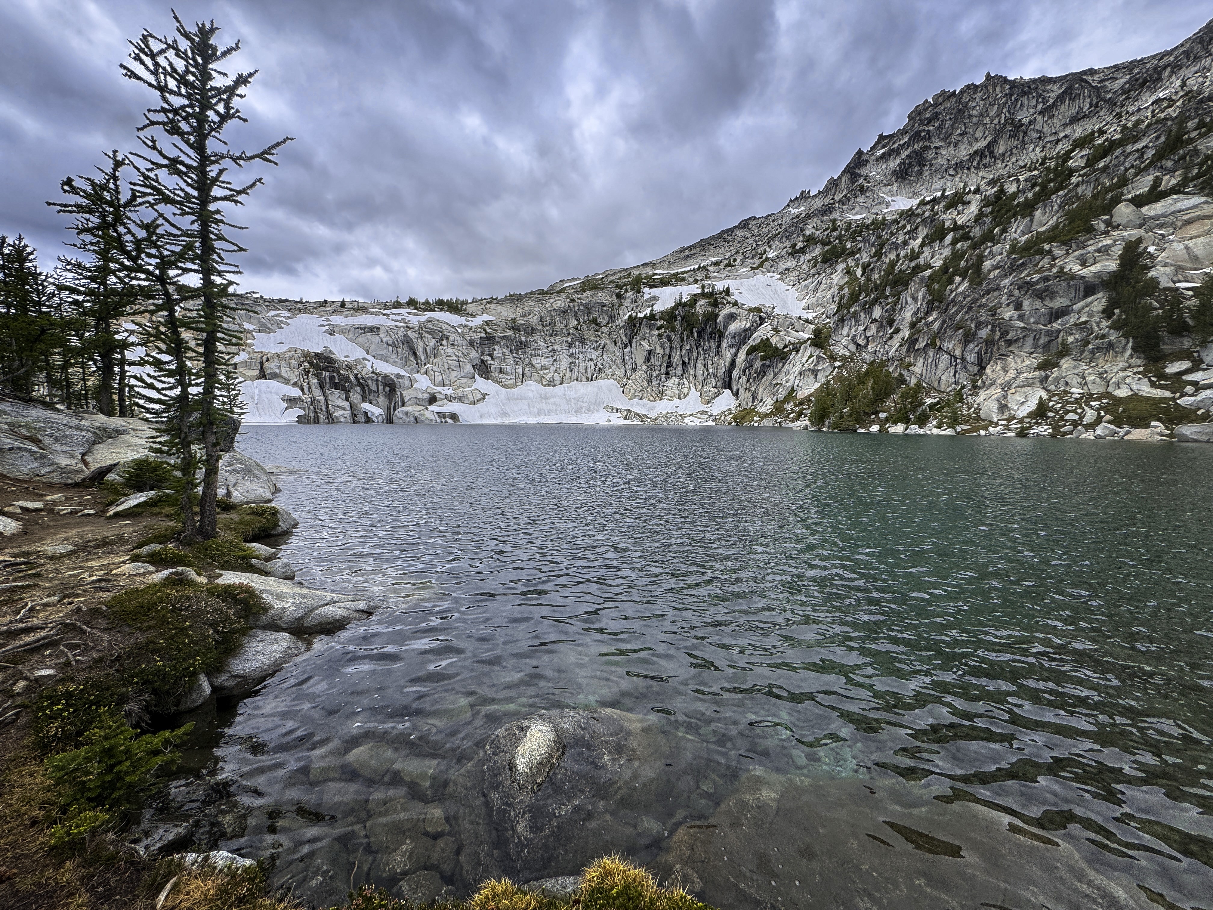
At Inspiration Lake.
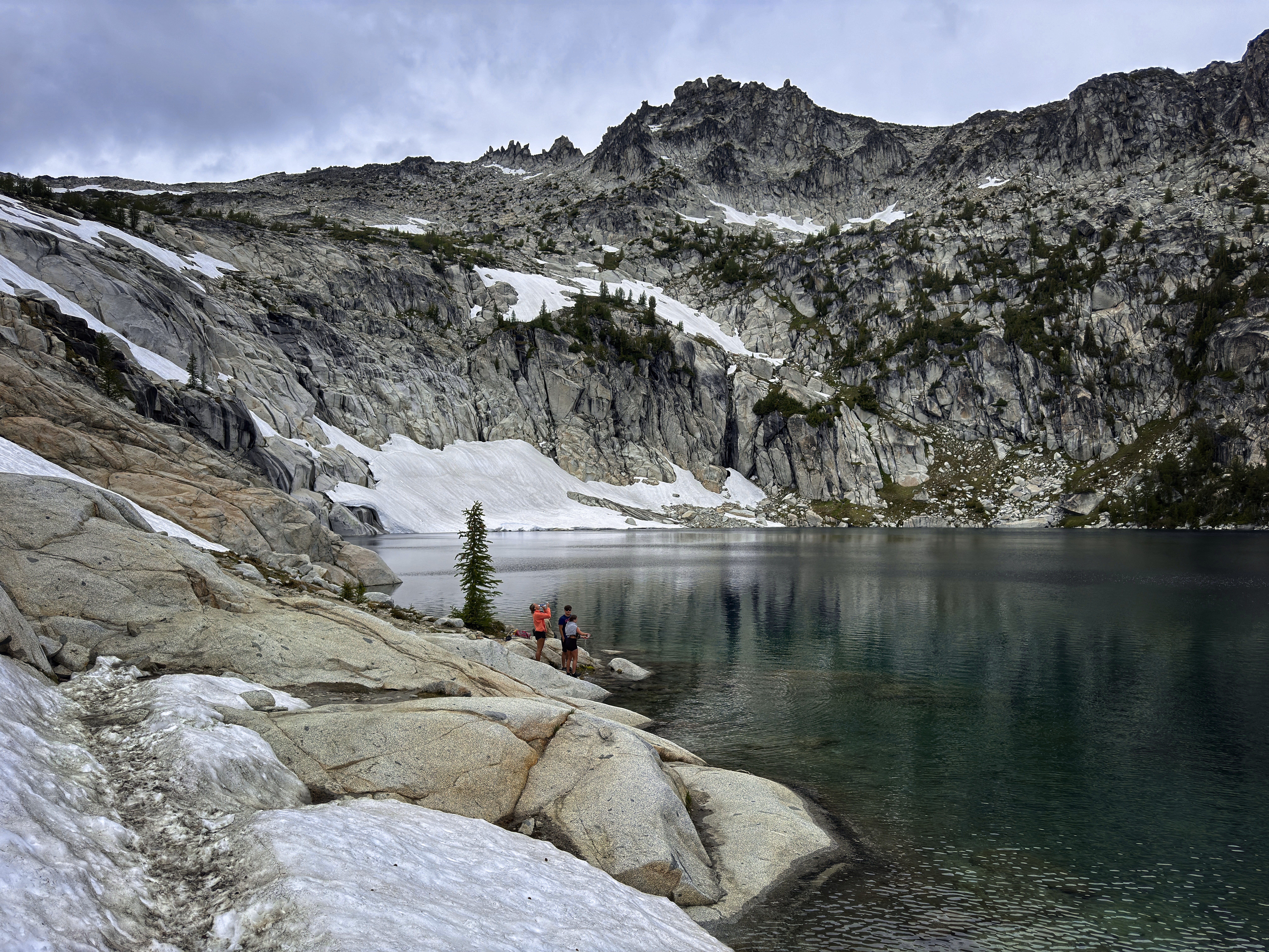
Folks enjoying Inspiration Lake.
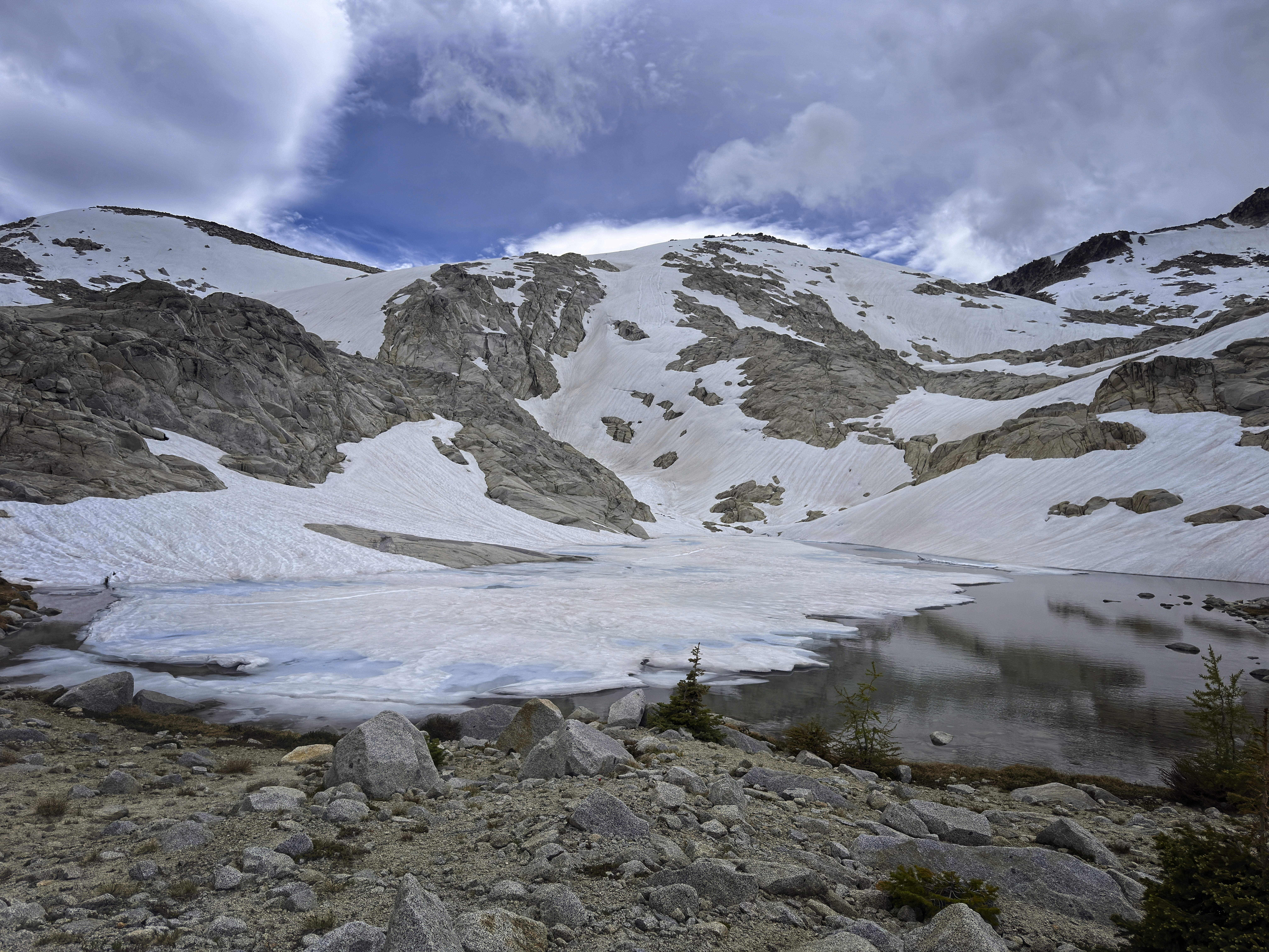
I think this may be Isolation Lake, there were many!
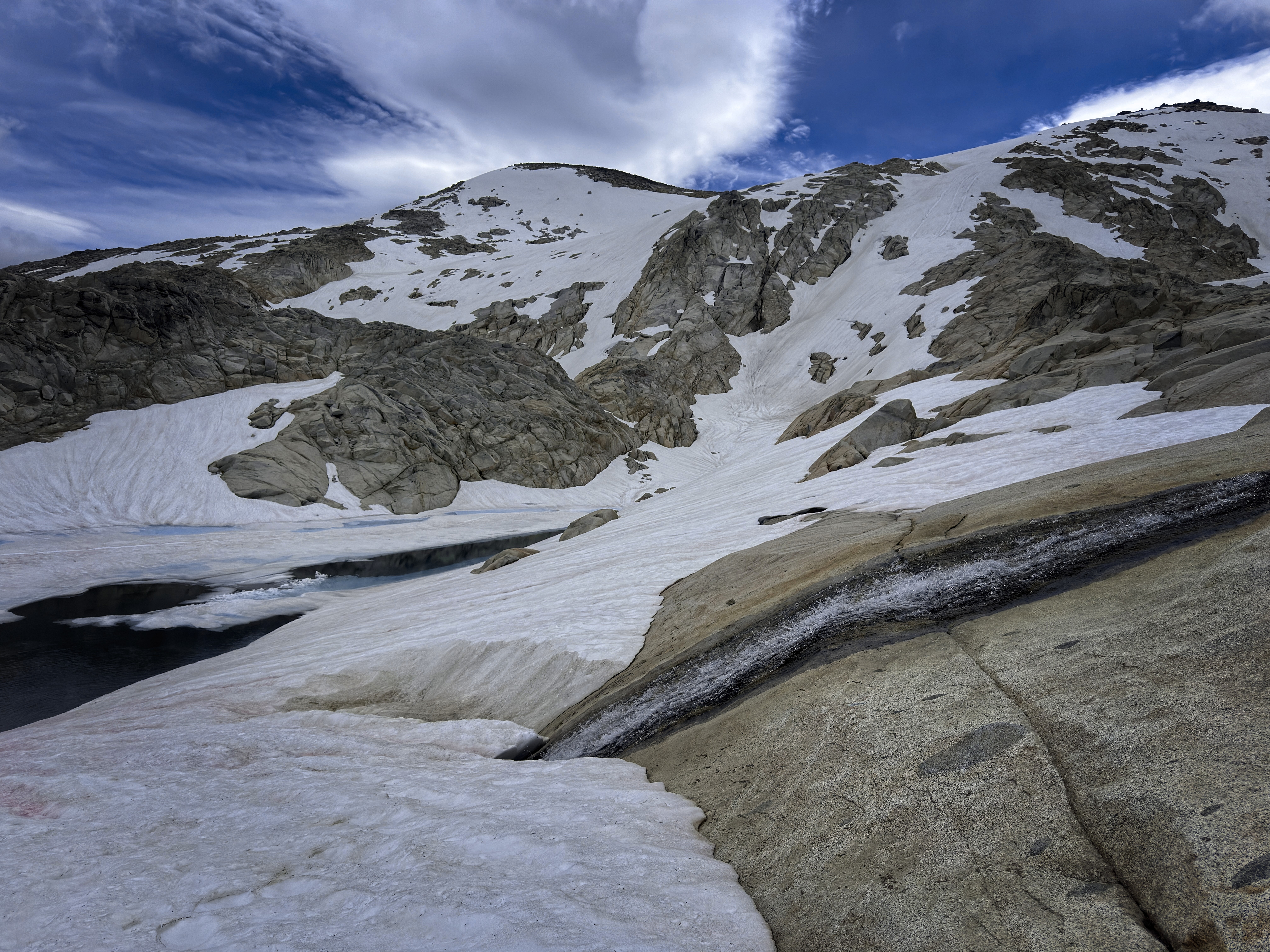
Snowmelt emptying into Isolation Lake.
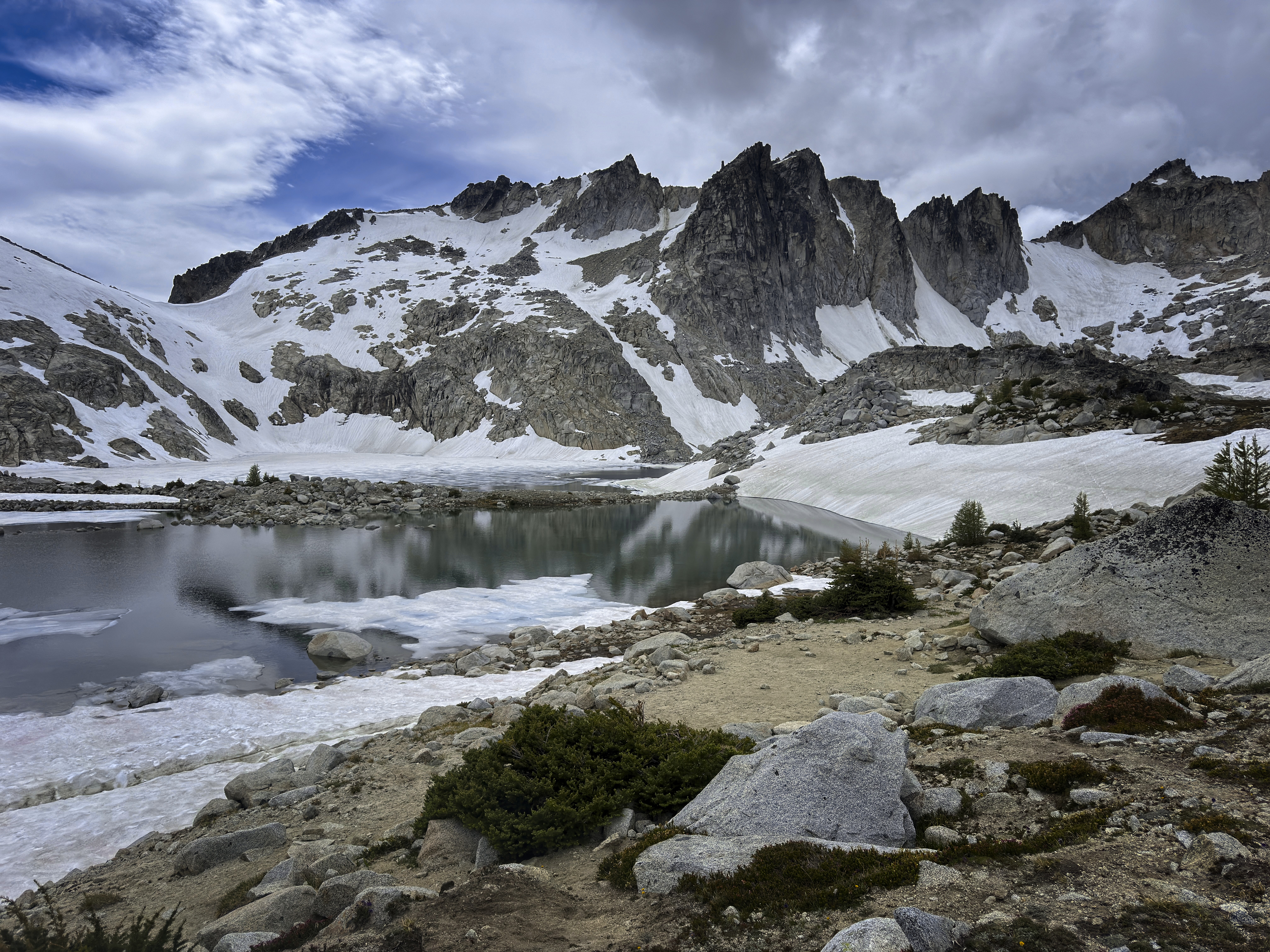
High crags of the Enchantments.
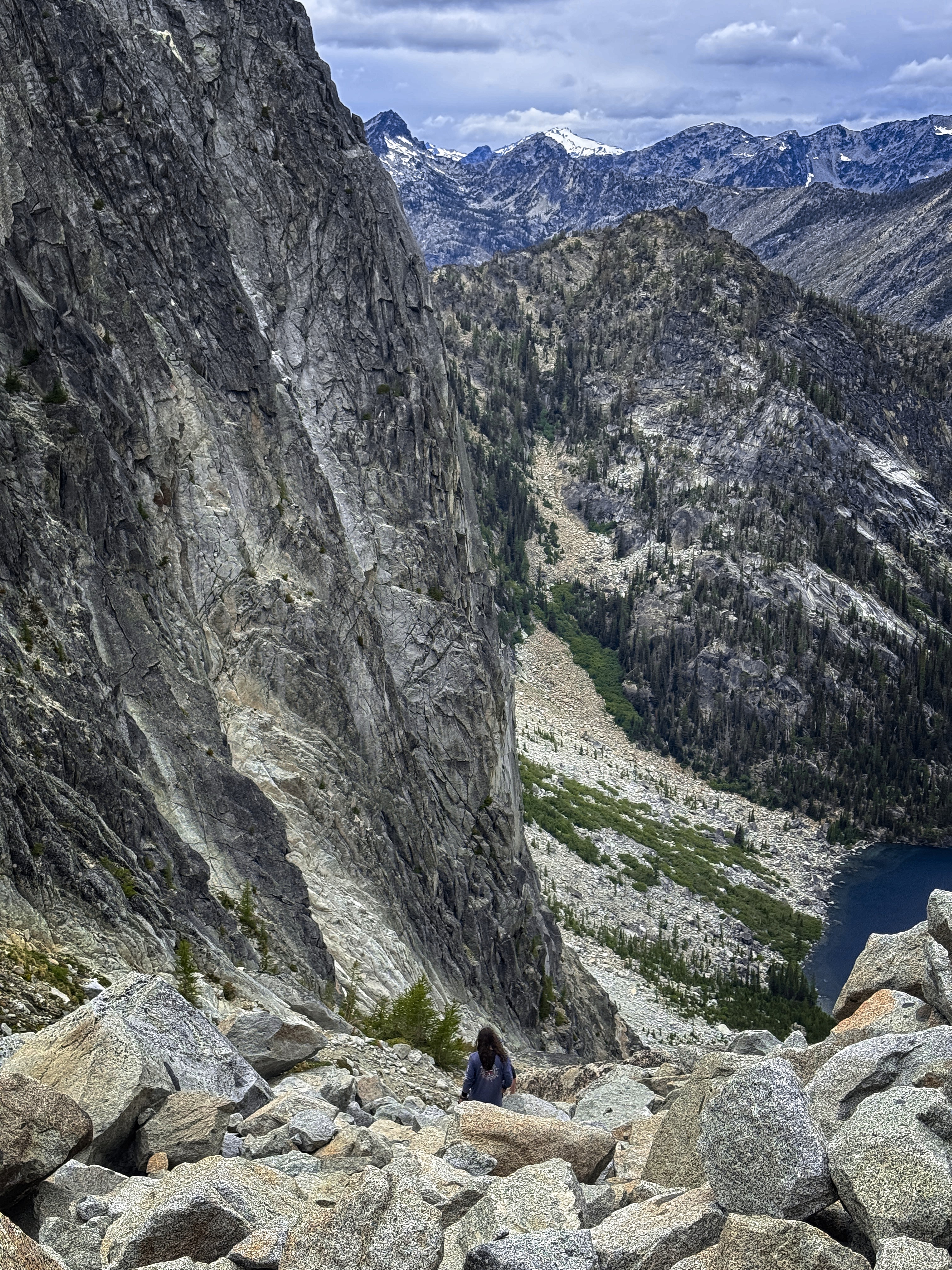
A young man descends from Aasgard Pass.
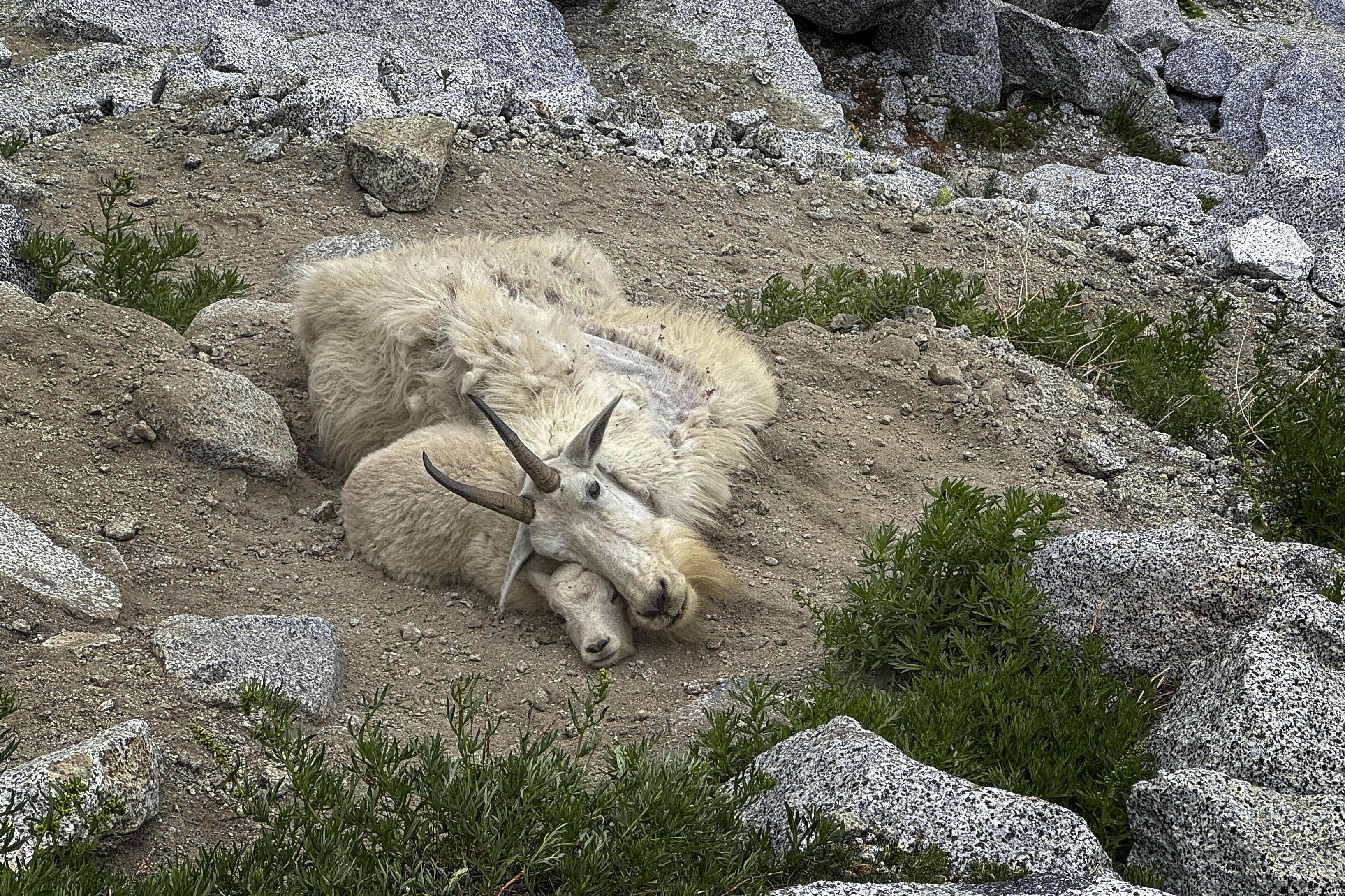
Two goats enjoying a patch of dirt.
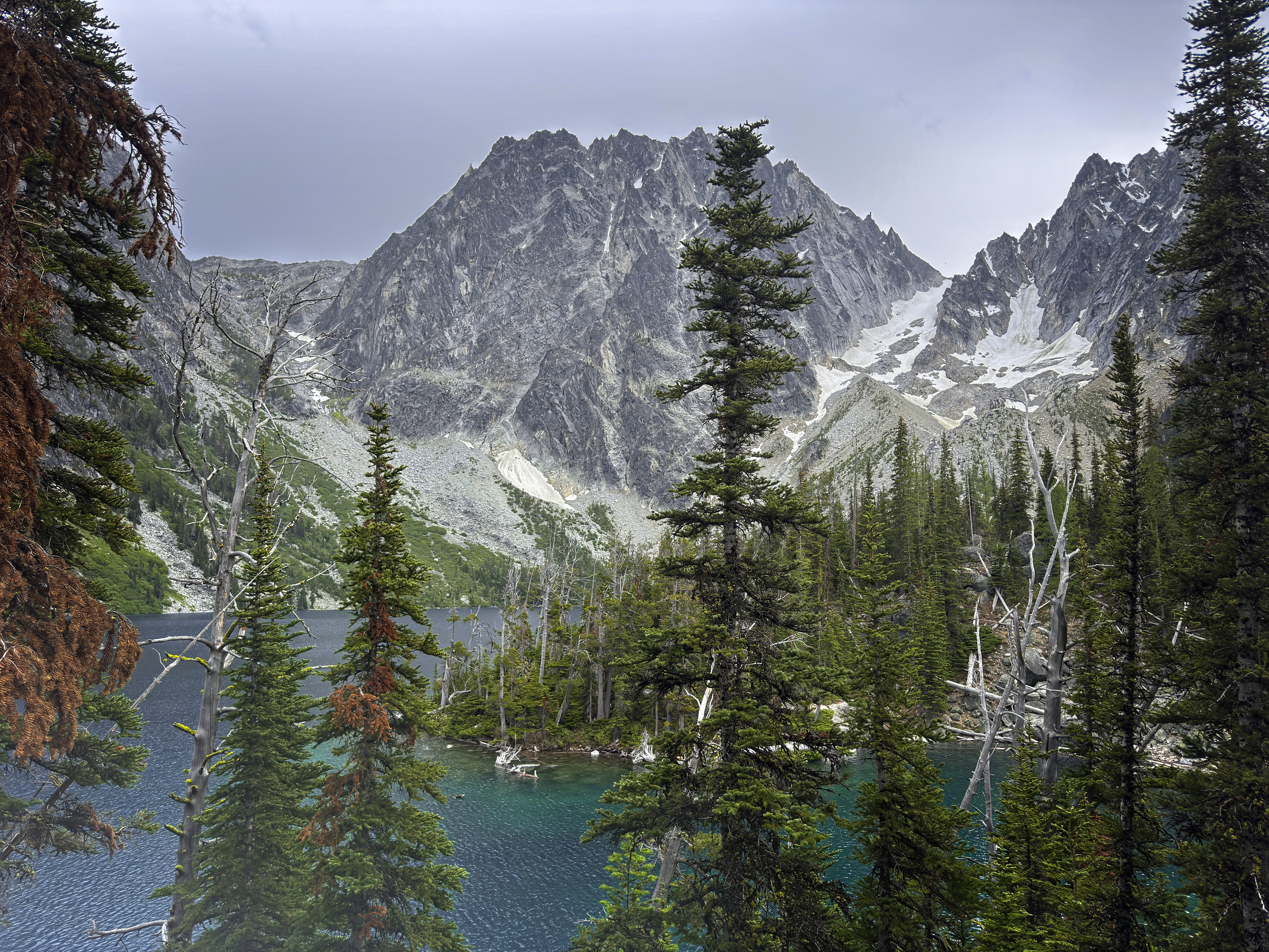
Dragontail Peak above Colchuck Lake.
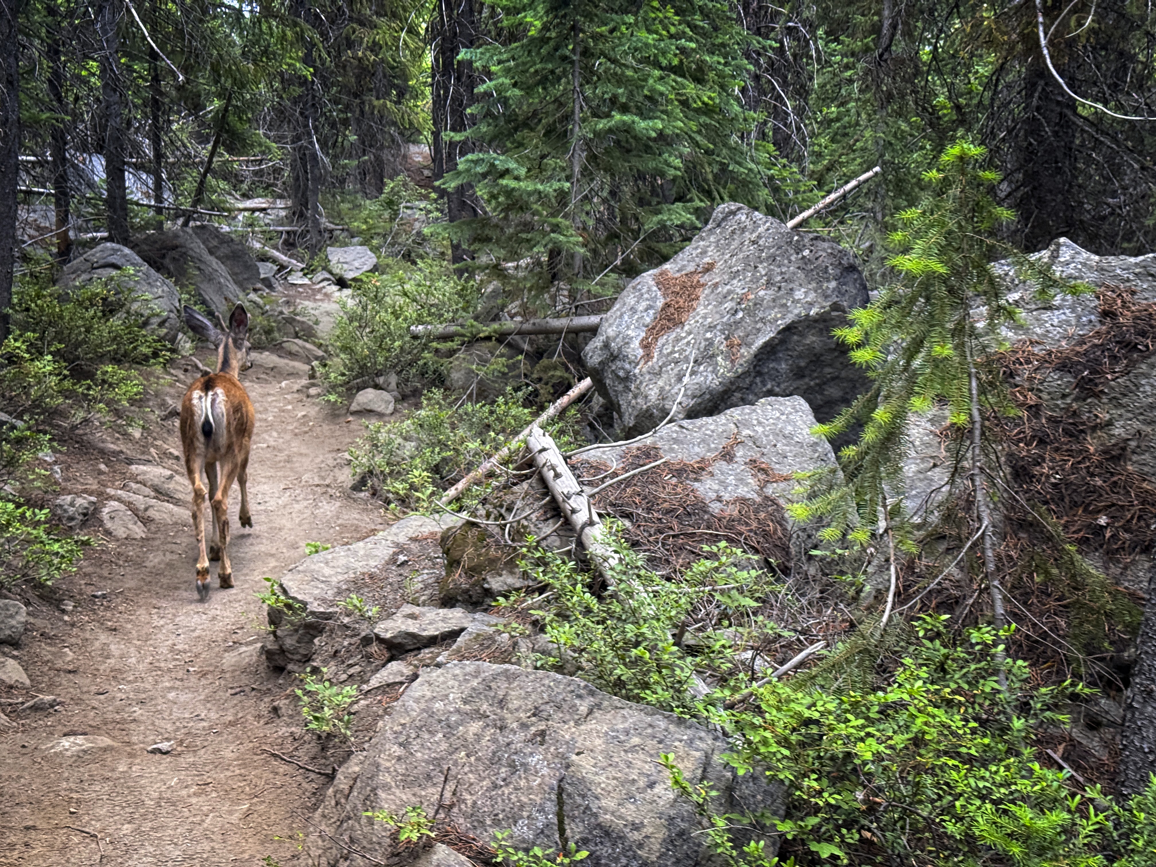
A deer walked ahead of me a long ways.
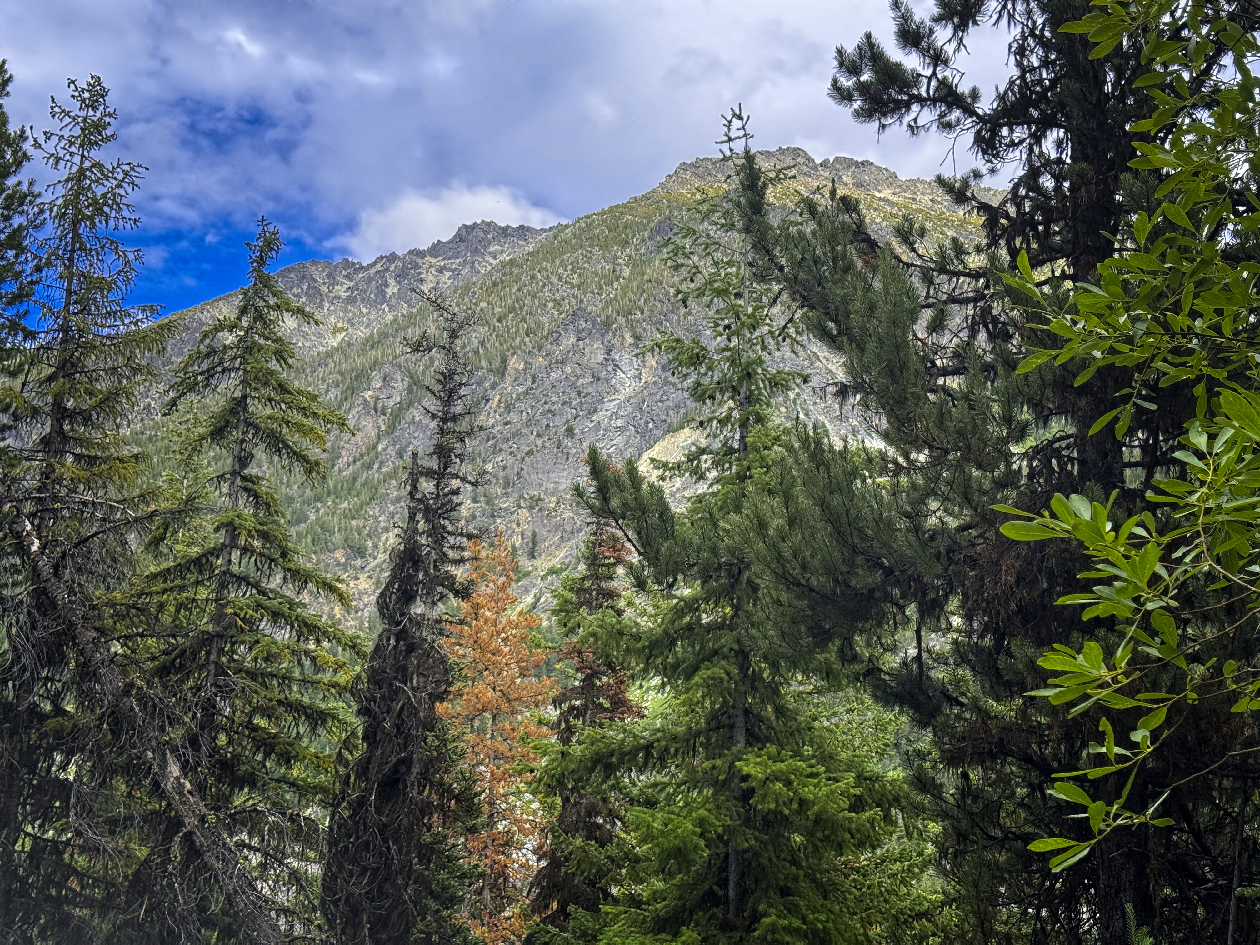
A rare glimpse of the bulk of Cannon Mountain.