Grays Peak
Friends: KevinLocation: Grays Peak Idaho
Elevation gain: 1280m = 1280m
With recent snow, a planned trip to Leatherman Peak had to be postponed. Kevin suggested Grays Peak, and that sounded like a good idea. With an elevation of 10,566 feet, the snow accumulations wouldn't be so intense. This would be good for safety and keep us away from hours of deep snow slogging!
I drove down the night before. As so often this season, it would be my first trip into yet another mountain group. Over the past month it was the Lost River Range, then the Lemhi Range, then the Beaverheads. Well, now it's time for the Pioneers! It was easy to reach the trailhead with a 4WD.
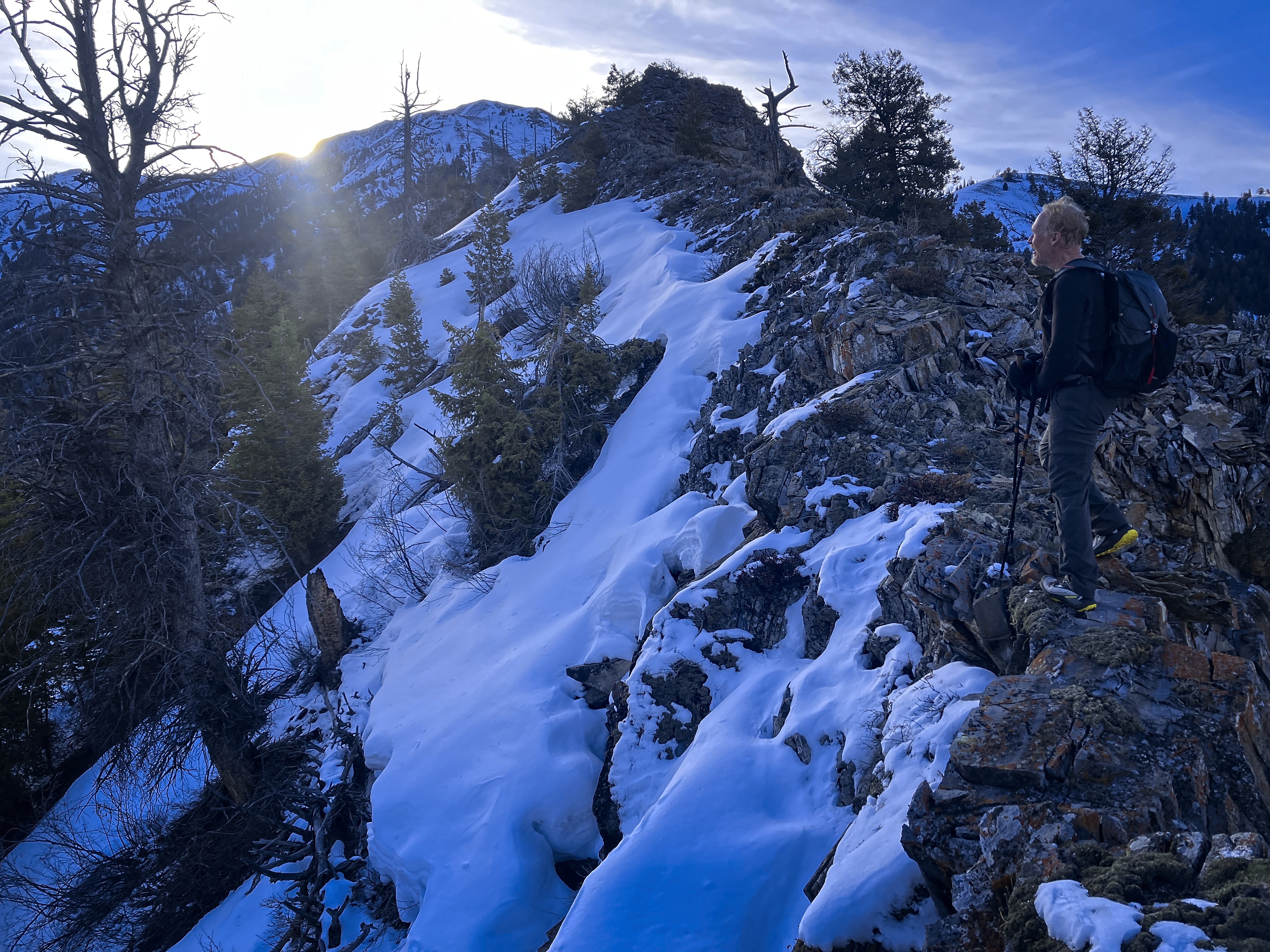
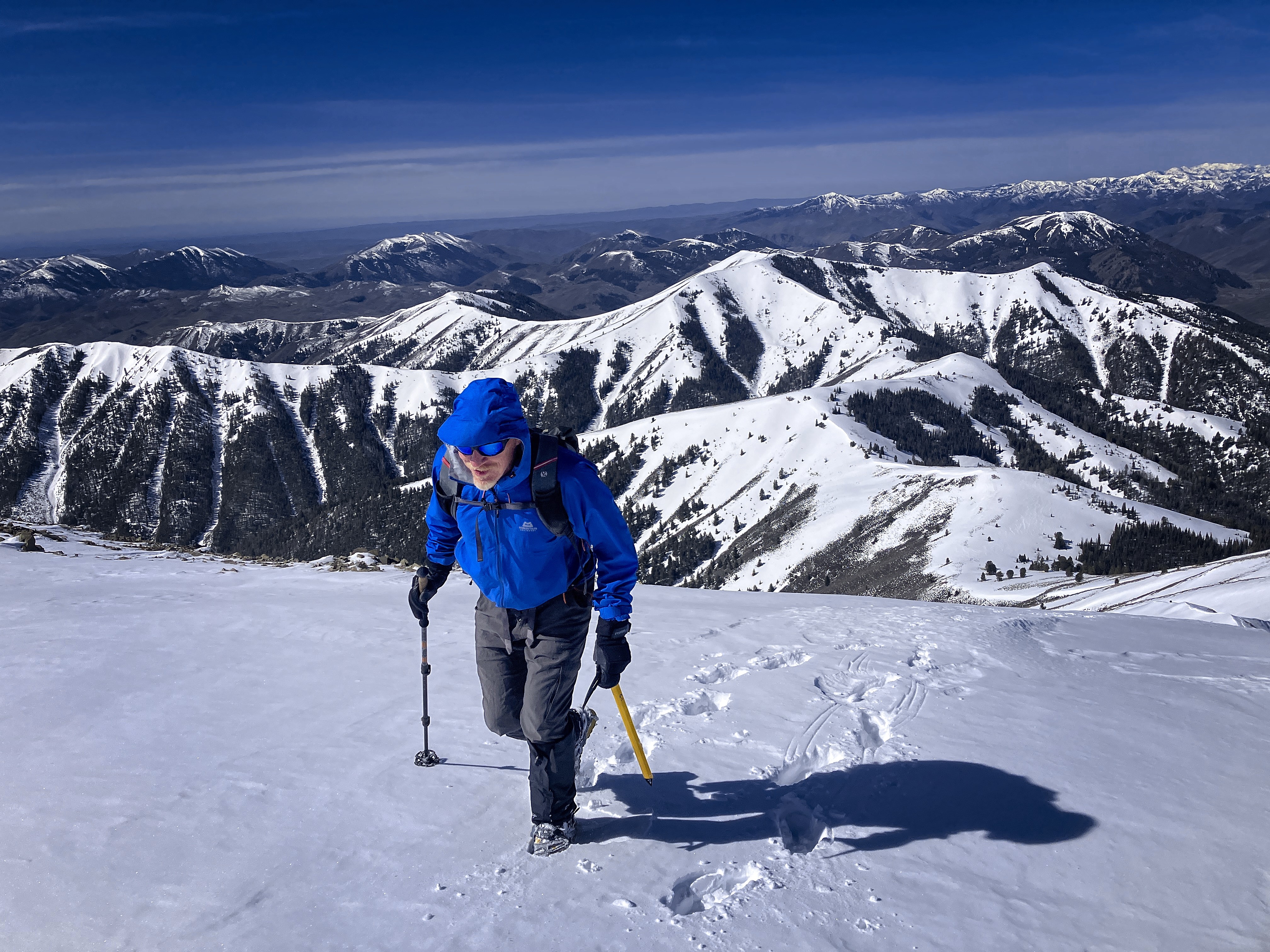
Michael low on the ridge
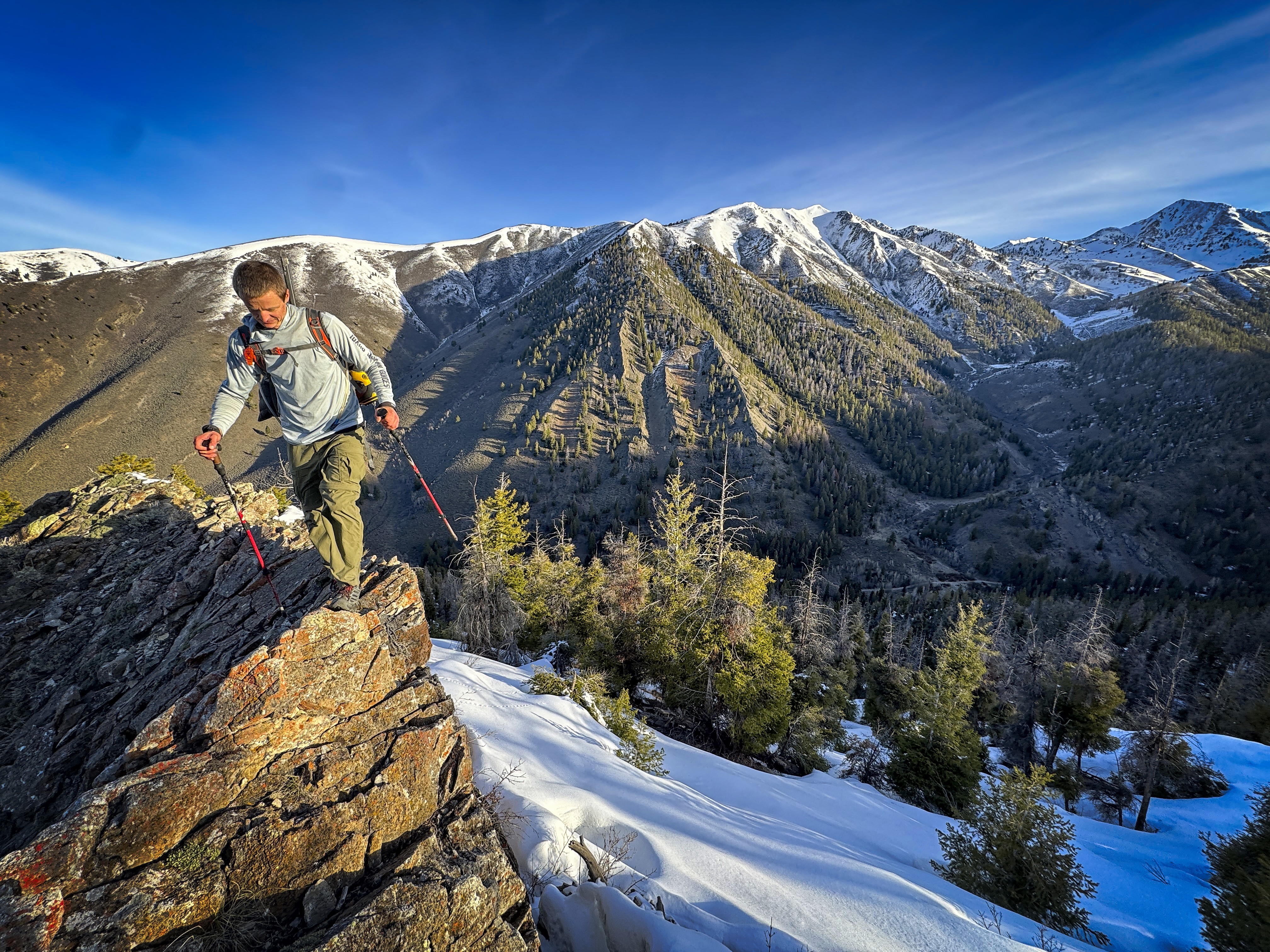
Kevin greets the sun
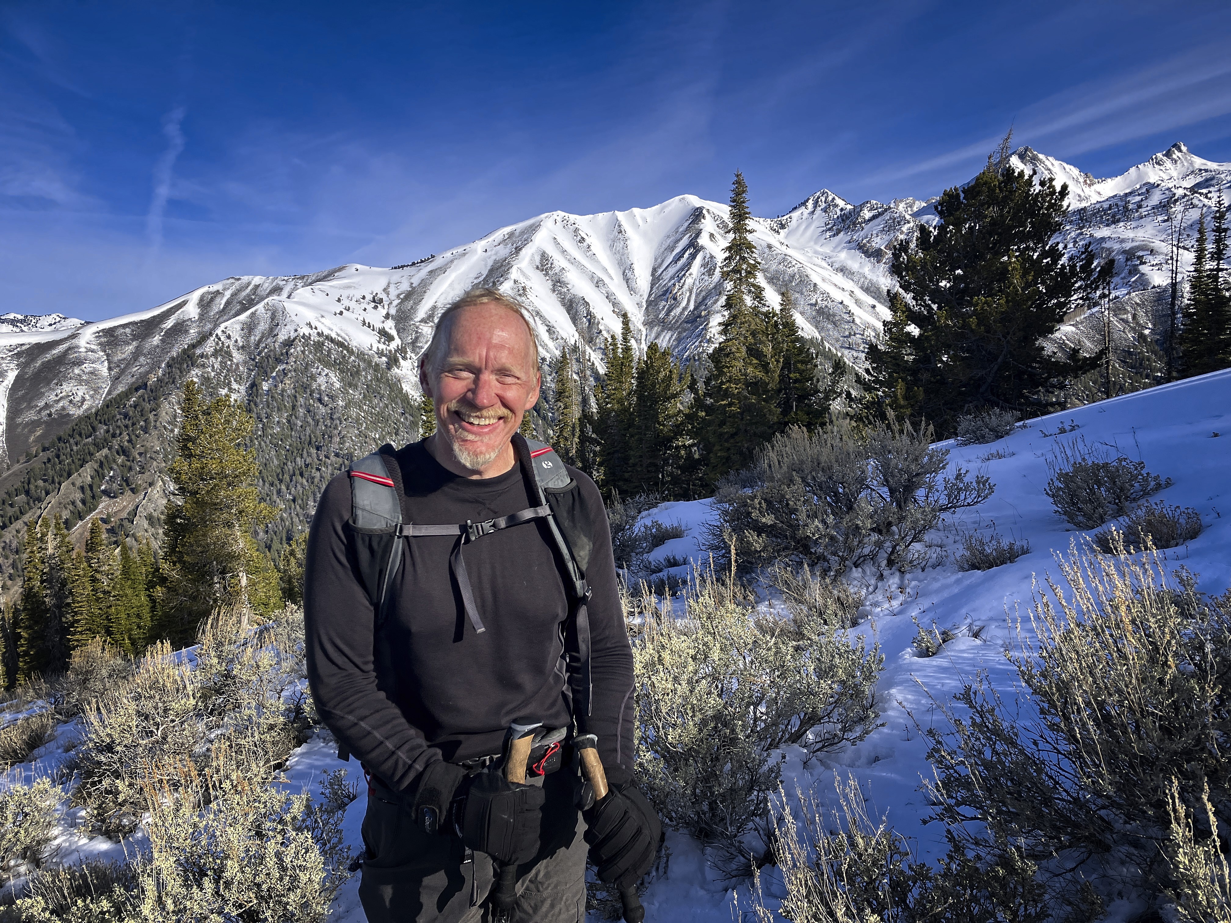
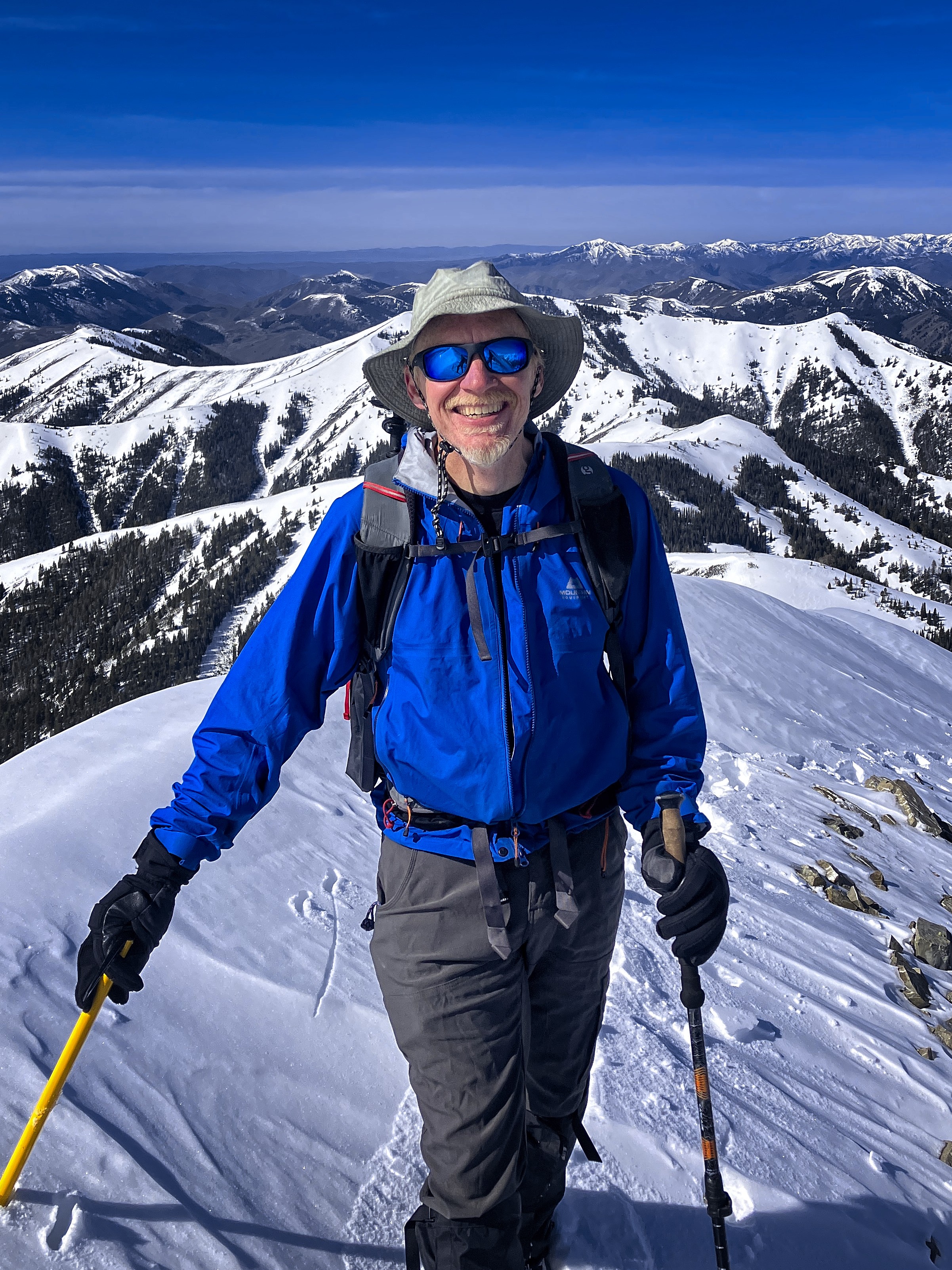
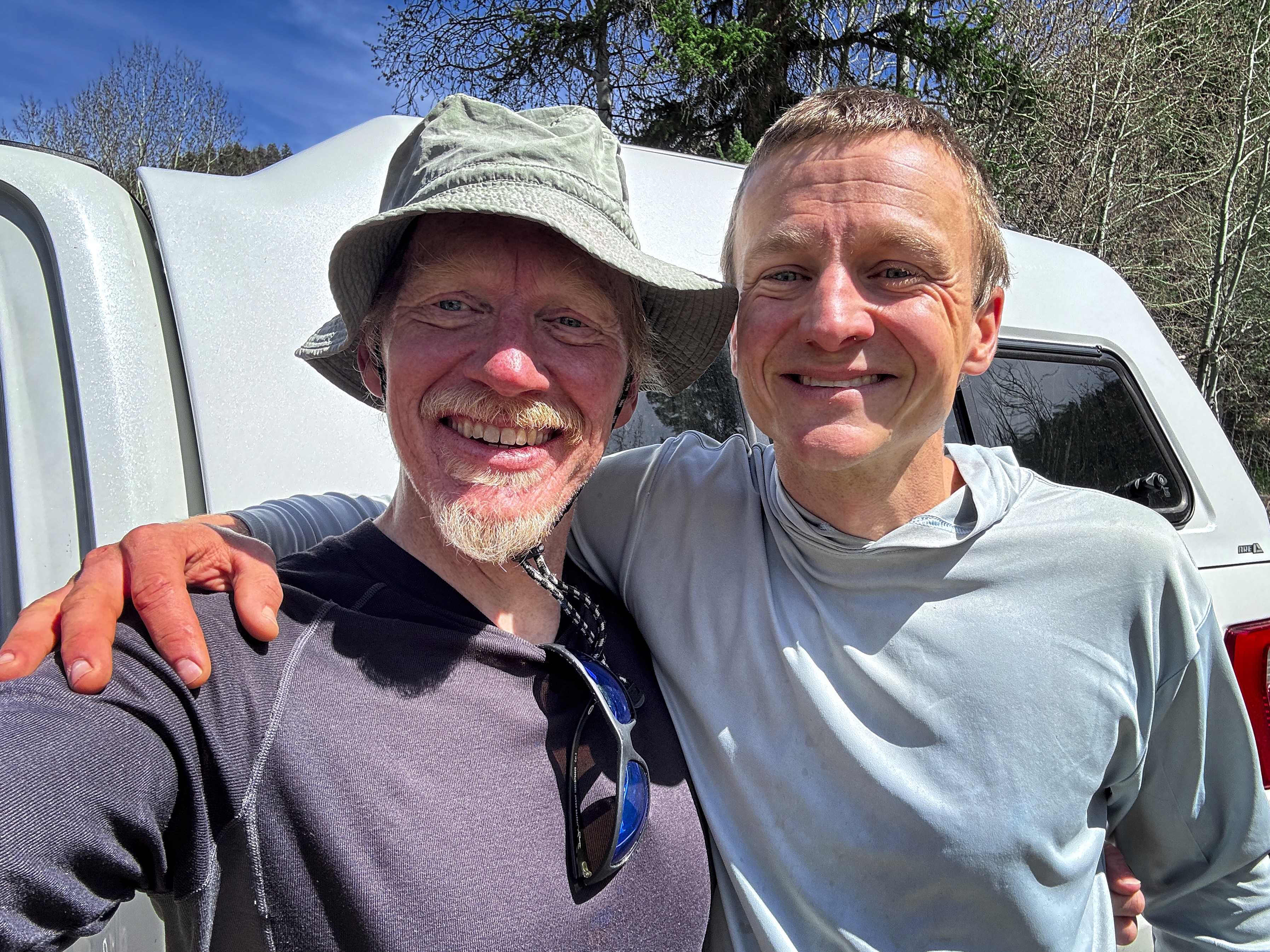
Happy to be here!
Kevin drove up in the morning and we were walking a bit after 7. It was our first trip together and we really hit it off! Kevin has a great philosophy of life, and I would call it a tested one because raising kids will apply stress to mere ideas. There is a road to goodness, and I was walking with a veteran of that road today!
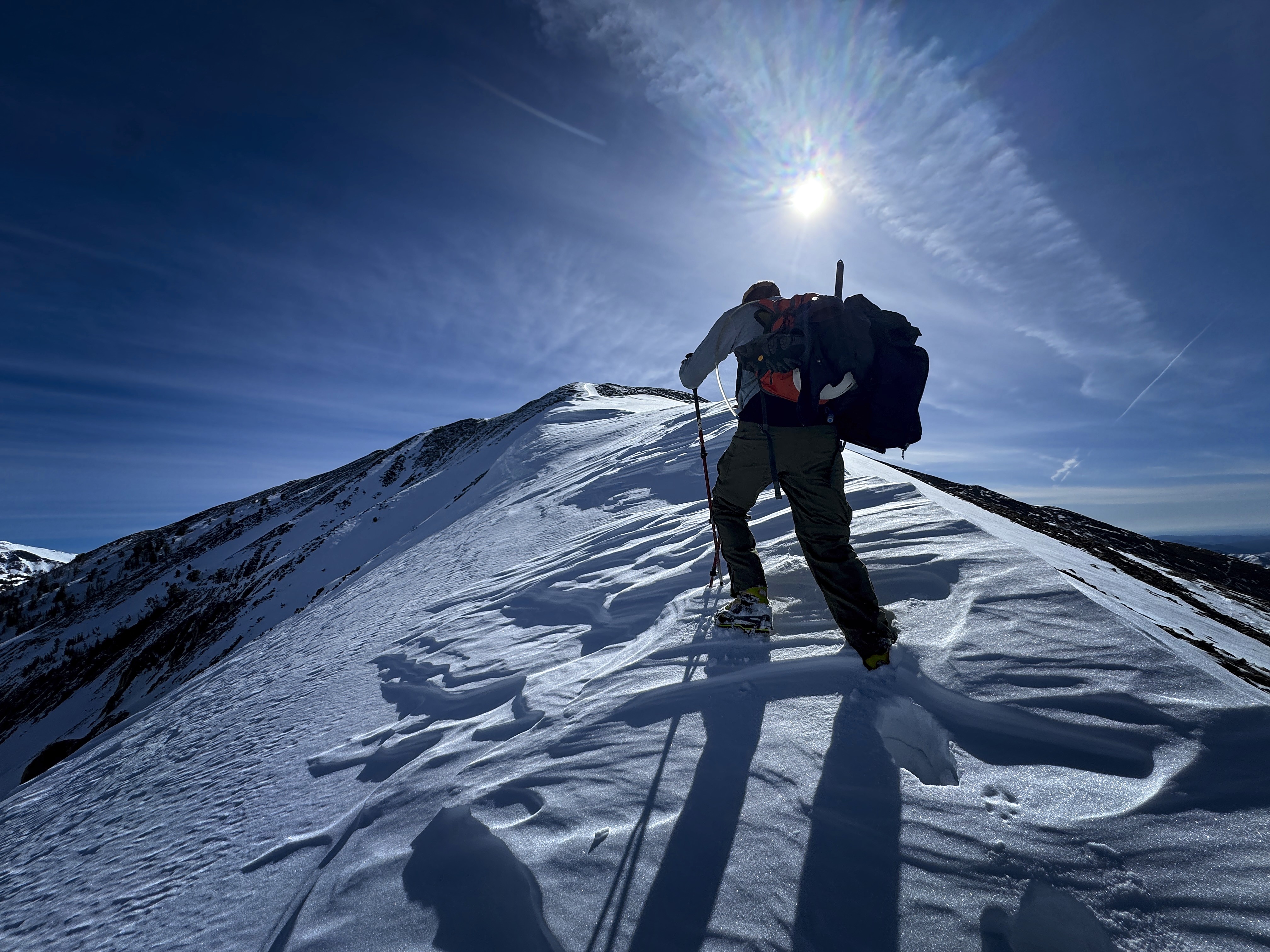
And walk we did! We enjoyed the trail for about 45 seconds, then crossed the creek and headed up the West Ridge of the peak in sagebrush, soon peppered with rock outcroppings on the ridge. Before long we were happy to use our hands and scramble on spiky crests. Eventually snow started piling up, and we switched to boots and microspikes for efficient step edging in the still-frozen snow. Great views north to Hyndmann and Cobb.
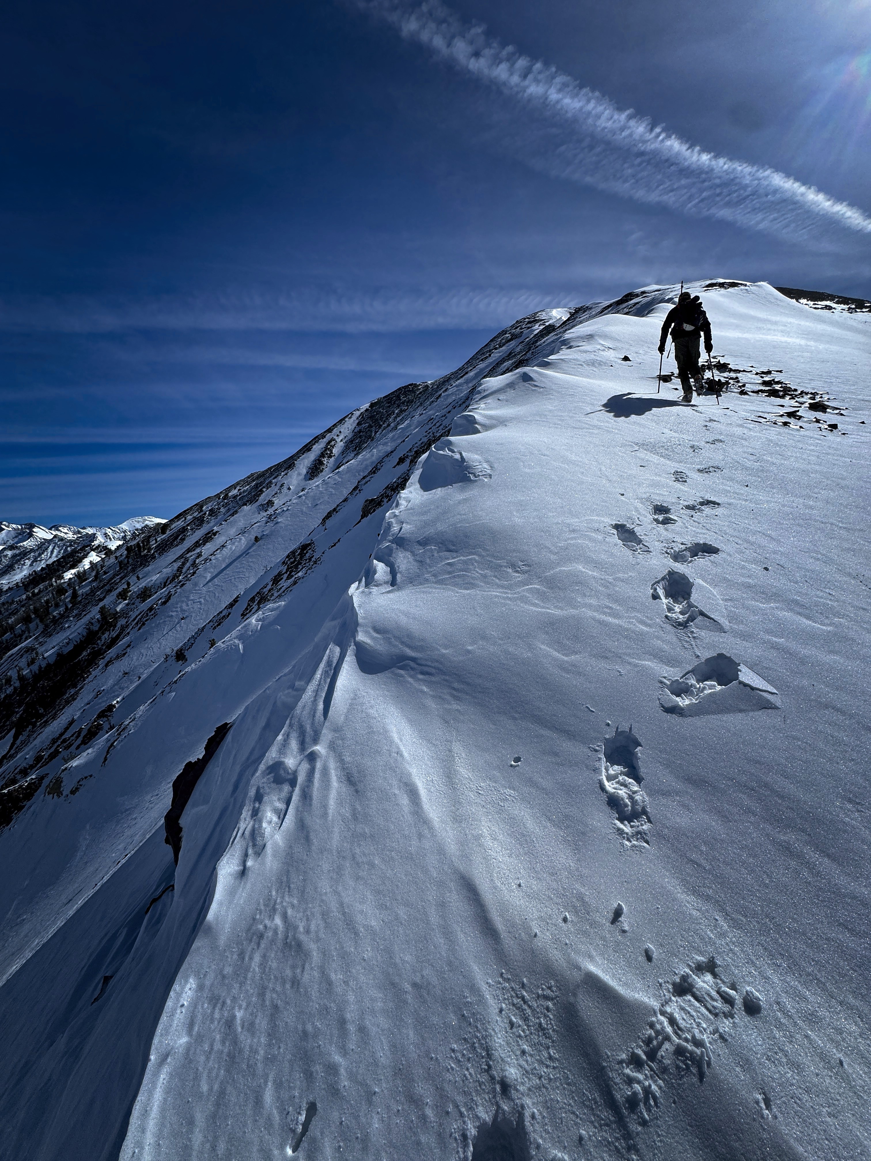
We gained a subpeak top and walked to the next one, now occasionally in deep, fresh drifts of snow. We could follow textured, wind-blown edges to mostly stay on top, but sometimes we sank to our knees. I tried to get Kevin in front for those, haha!
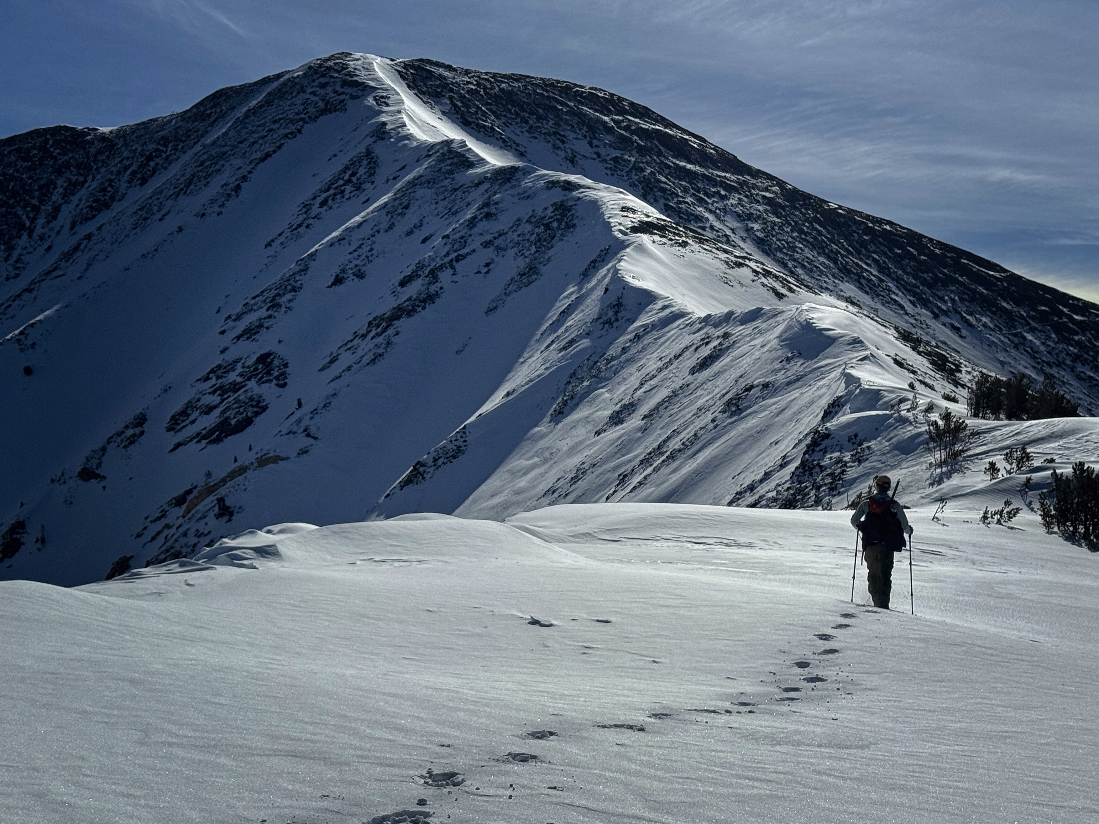
Heading to the final ridge...
Kevin breaks trail
Excellent snow conditions
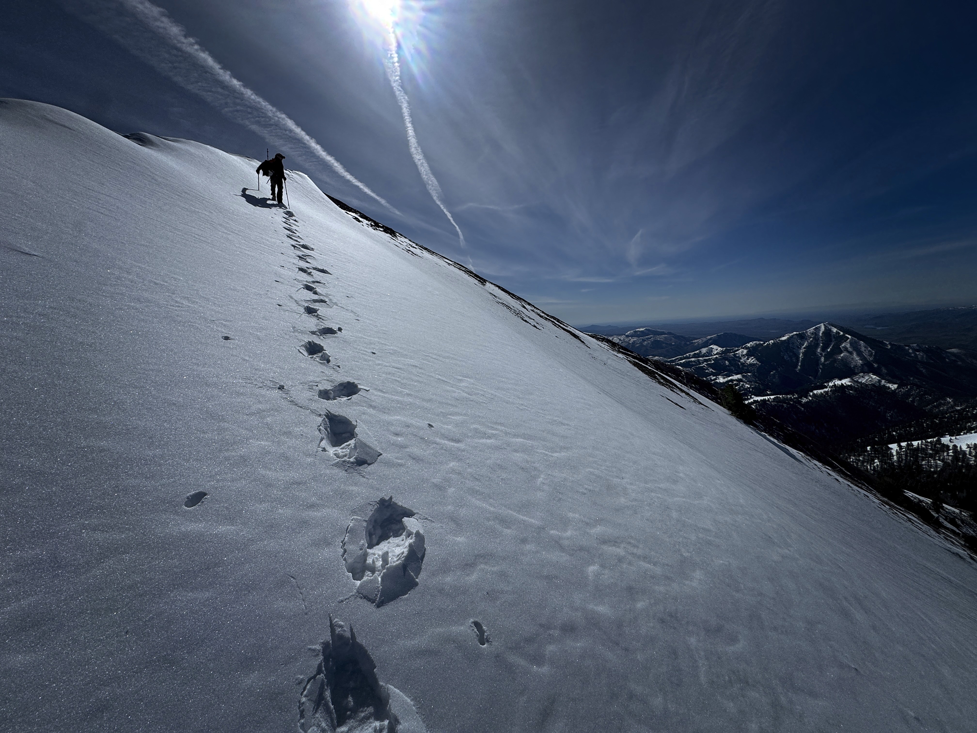
A similar shot
One more bend in the ridge and we were on the long and attractive final ridge, decorated with cornices usually on the north side but occasionally the south. I had a new "fancy" camera, and we took turns carrying it. The idea is that it takes 360-degree footage from a front and back camera, and you pan and zoom around in that "sphere" of footage once safely back in front of your laptop. Here is the video I made of it:
On top we were surprised to see a solitary guy climbing up the ridge! It was Brett S, a veteran of many peaks! We chatted for a bit just below the summit.
Kevin and I had some extra energy, so we decided to drop south off the ridge to the pass where the trail up Federal Gulch climbs out and crosses the south face of Grays. We followed the ridge beyond the pass southwest with minor climbs until reaching a valley which my map showed a trail with several big switchbacks looping down. This should get us to the Federal Gulch trail not far from the trucks.
Good weather means there is nothing to complain about!
Crunching up the hill...
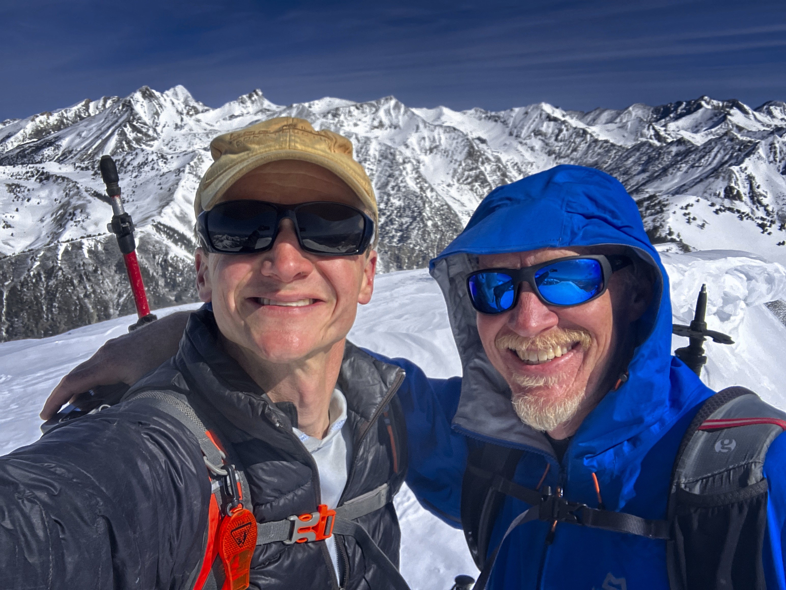
Kevin and Michael on top
A climber approaches...
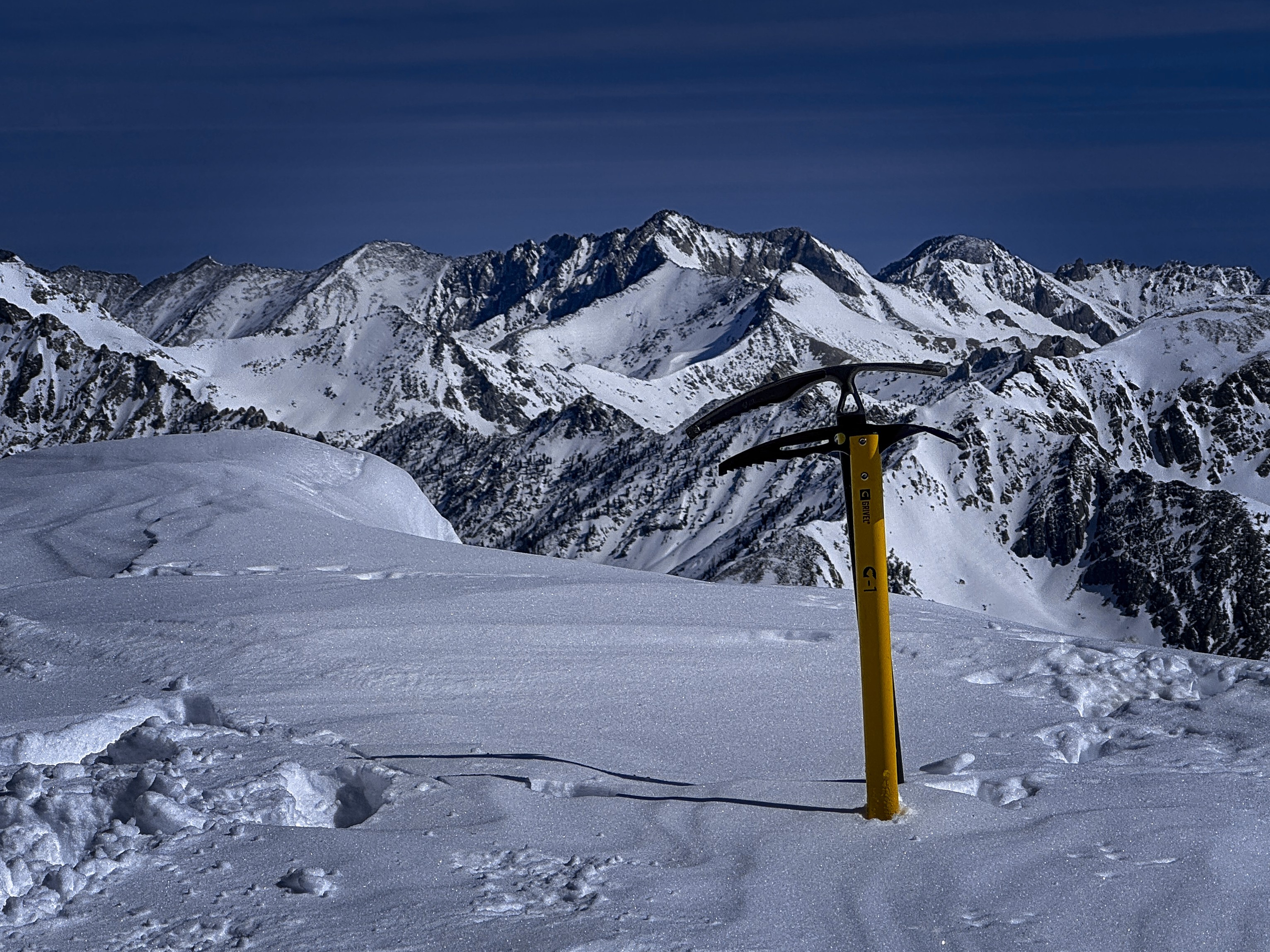
Artistic view with axes and peaks to the north
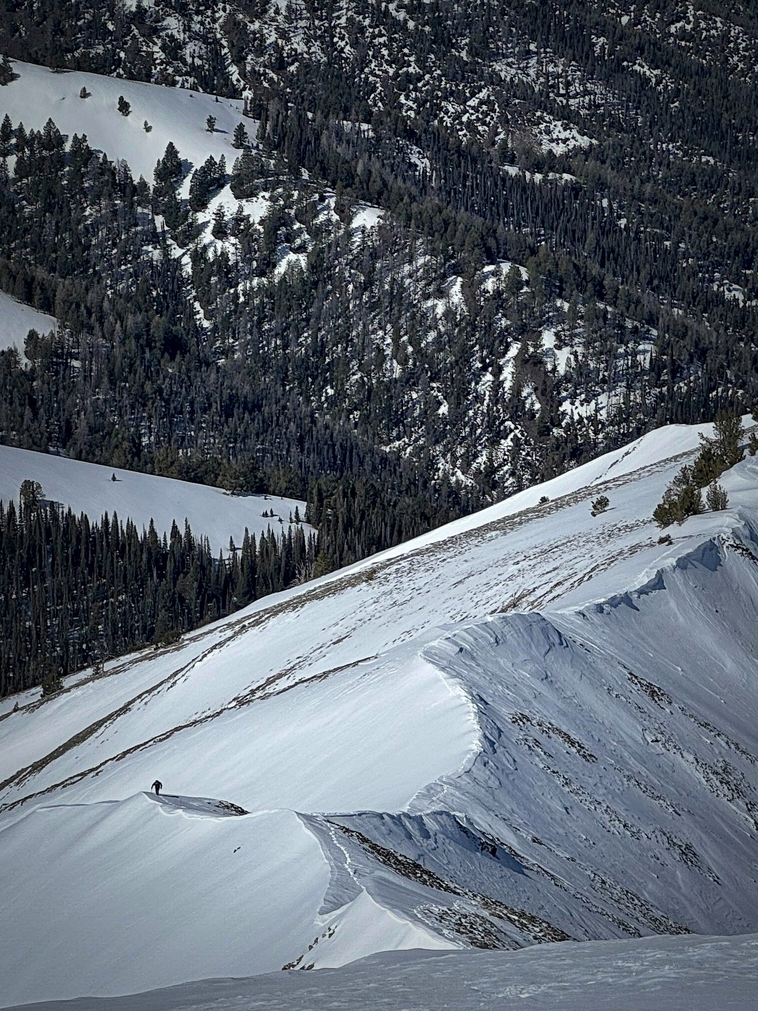
Sure enough, that worked well, and we had fun checking the GPS as we descended, trying to keep an eye on the trail even as we ignored it when possible to bomb straight down pretty deep snow in moderately spaced trees. It's just a delightful thing to move through country like this...you know you are in "danger" of getting yourself into a briar patch of criss-crossed trees or thorns, but by some deft attempt to thread a line between mutually contradictory goals (open country is better, avoid cliffs and brush, stay near trail but avoid v-slots contracting beneath you), you kind of sail through.
I think it's a kind of conversation with the land. Topography is sculpture, and perhaps we can experience it the way an artist intends.
Down in the side-valley, we met Brett again, who had descended his ascent route on the ridge and wanted to see something of this region, too. Soon we turned onto the Federal Gulch trail, which was not at all overgrown in this section anyway.
On the way down
A similar shot
Interesting tracks
Heading down...
Headin' home!
Kevin headed west, and I east after a short nap. 8.2 miles and 4200 feet up and down today. Big thanks to Kevin, to the mountains, to the Creator!