Saddle Mountain
Friends: Only God!Location: Saddle Mountain
Elevation gain: 1450m = 1450m
I live near the Lemhi and Lost River Ranges, and have been driving by Saddle Mountain a lot. Reading about it on the great Idaho Climbing Guide website, I saw:
Saddle Mountain, a dominating massif, is located at the south end of the Lemhi Range. Its location makes it highly visible from many spots on the Snake River Plain. As a result, over the last ten years, the peak has become a highly-sought prize for serious peakbaggers. This peak should not be underestimated. There are no easy routes on this mountain. All of the routes are long with big elevation gains as well as serious route-finding problems.
Well, gee, that sounds fun! A few weeks before I'd hiked a few hours back into Middle Canyon, but I was tired from a climb the day before and didn't have any snow gear. This is a beautiful hike. Now that I've covered the ground of it four times, I like it even more. Miles of high walls, where each time you look up you spy a different little cave or interesting ledge system than you've seen before.
This time I had boots, crampons and ice axe, all stowed in the pack until I reach the point at around 8600 feet where it's time to grind uphill through light forest and talus. Though there was plenty of climbing in the canyon itself, too. Sometimes level or meandering on the floor, but other times you have to reach a new higher floor. There are a couple of campsites in the canyon with fire rings. It would be great to stay here some night...
A typical view in Middle Canyon
I think the snow lingers in here because there is only a short window of
sun
I headed up the slope on the right here at about 8600 feet
Leaving my tennis shoes and a water bottle, I continued up-canyon in boots for about 1/2 a mile, then picked a likely point to head up. Footing was tricky on the steep slope, and the mud was still frozen. Firm snow-patches were preferred for climbing. About 300 feet up, the forest had burned, so the trees were sparser, and I was beginning to get some views. Gradually, the slope curved into a broad ridge, which I followed to get my first views of the summit, which looked quite far away, across a valley on my left. My ridge would keep rising and curve around to become the Southeast Ridge to the summit.
In a sunny talus-meadow, I stopped for lunch and admired the snowy peak. A broad snow gully with crags on the west side would become the object of my interest over the next hours...probably a great ski tour. Continuing, my ridge narrowed to a rocky fin, quite entertaining to walk on, leading to a high plateau at 10000 feet. Traversing on the west of the summit of this plateau (Point 10248 on a USGS topo), I descended a bit to a saddle, then starting grinding up the Southeast Ridge. I went until I was embedded in rocky towers, and took the last / highest exit to talus slopes on the left (west) to avoid difficult climbing. I was promised a goat trail along the base of the towers, which was indeed there.
I was glad for snow over the talus because it's easier to kick steps than constantly guess which blocks are best to stand on! I admired the crags across the great snow gully, noting some interesting narrow snow couloirs between bulbous prows of rock.
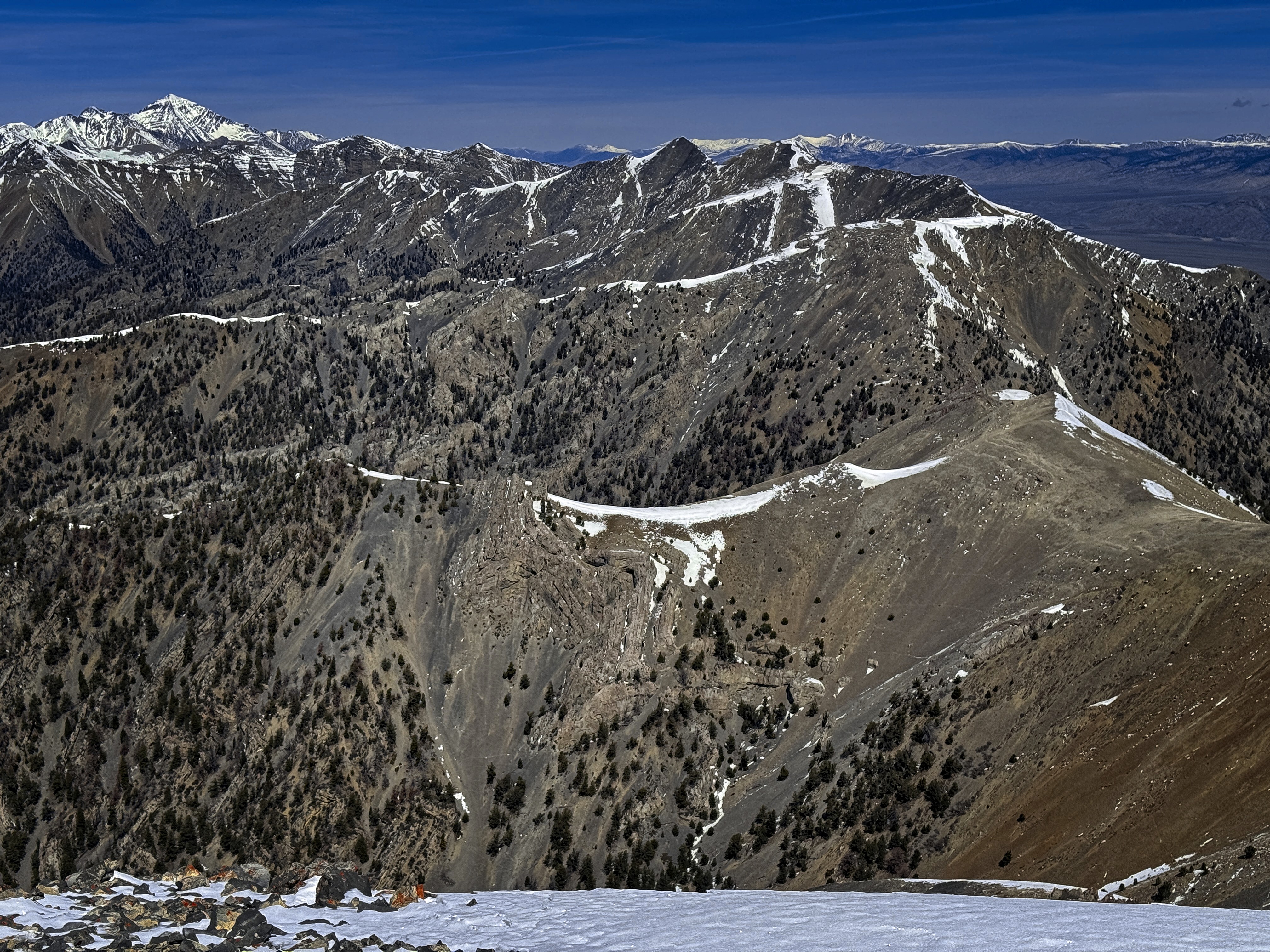
Views of the peak from the upper burnt forest
A look down into Middle Canyon, jealously guarded by stone sentinels
I used this snowy peaklet to mark where I should head down (okay, I had
a GPS too!)
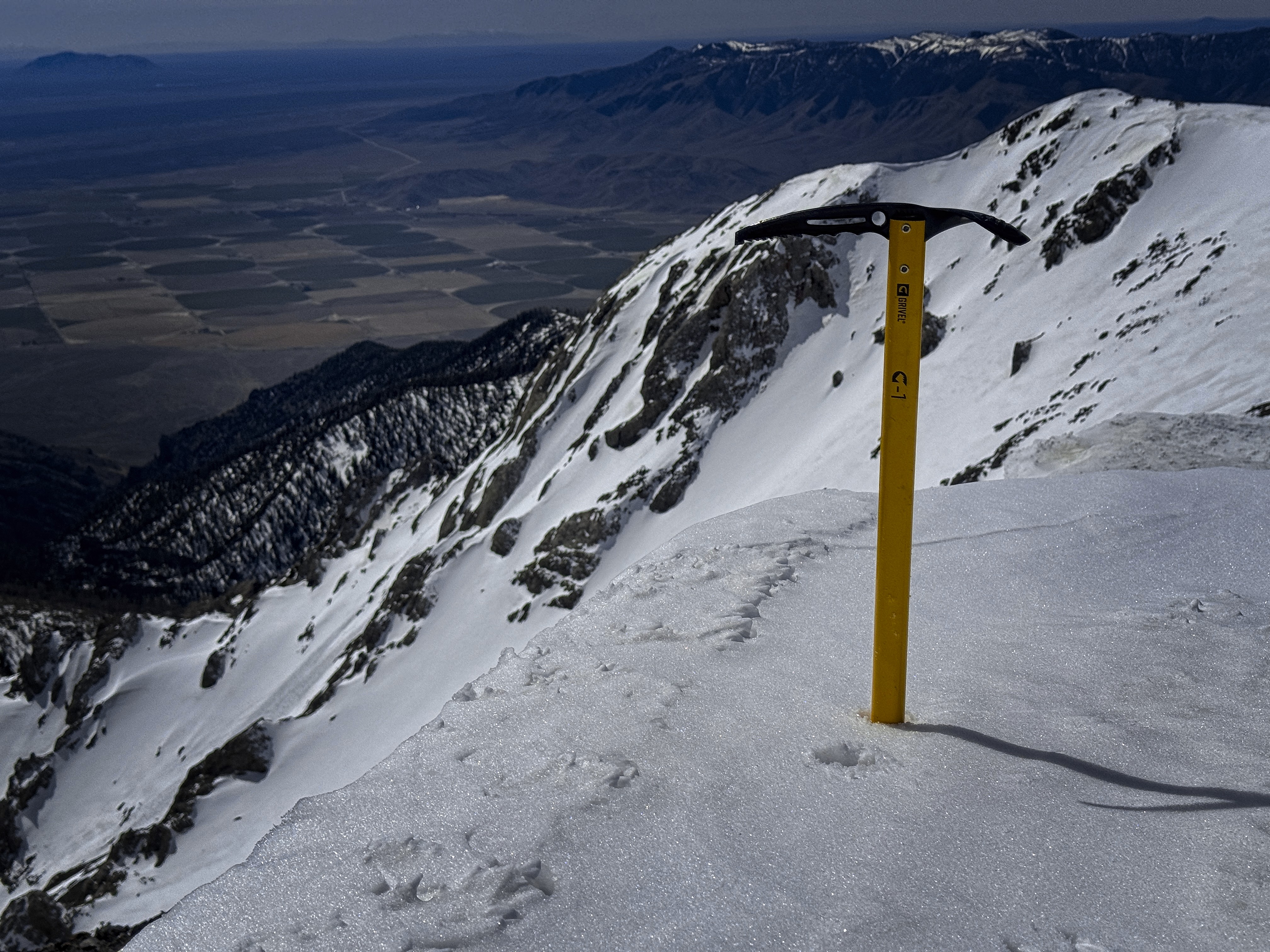
I was wondering when to put on crampons and found myself kicking steps across an icy slope, thinking "right before this was the place!" I continued tediously across, then scrambled up rocks to a little perch where I could apply them in comfort. Higher, they were less important than I'd expected -- it was really just that one key icy slope where you'd want them. Still, I enjoyed little snow and talus problems, eventually getting on the ridge top as the region of towers was below me. A final short snow slope led to the summit, with a new world of views to the north and east.
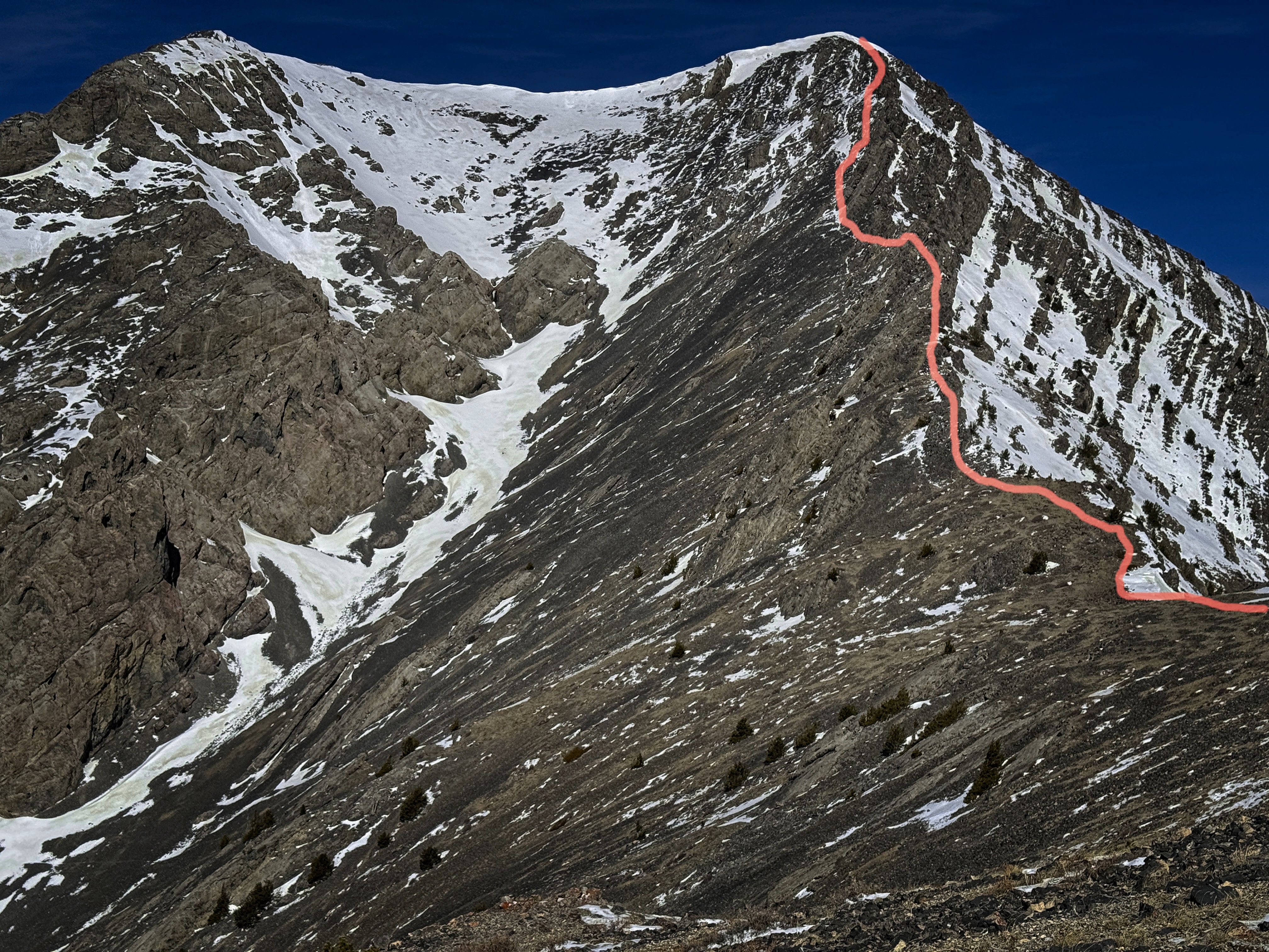
The pink line marks my route over the rocky ridge, past Point 10248, and on
to the summit
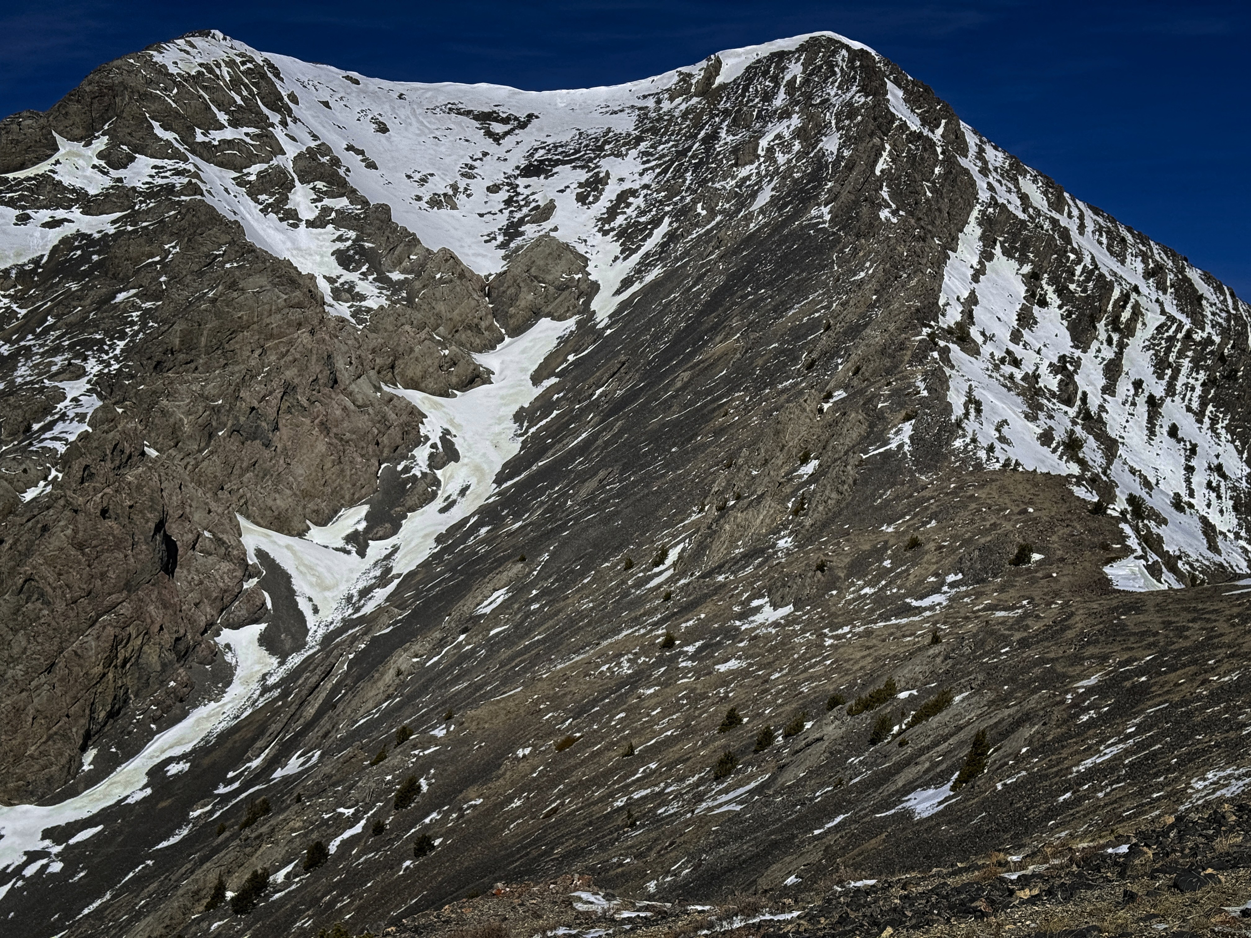
The same image, without line
Here my line is shown to the summit
Without the line
Looking around, I thought my route had to be one of the more involved ones, due to the long journey in the canyon and 1000+ feet of off-trail travel to get up to ridge-tops. Looking east, the distance between brown lowlands and walkable ridgetops didn't seem so immense. Perhaps I'll find out one day!
Descent was quick. Once below the icy traverse, I removed crampons and continued to the saddle, then up across the plateau guarded by Point 10248, and finally down the gray hogback ridge to reach my burned slopes, down which I was flushed to the canyon floor. Happily, the mud had unfrozen, so for several hundred feet I had an easy, cushioned-step ride that was quite pleasant. I reached the canyon floor a few hundred yards north from where I left it.
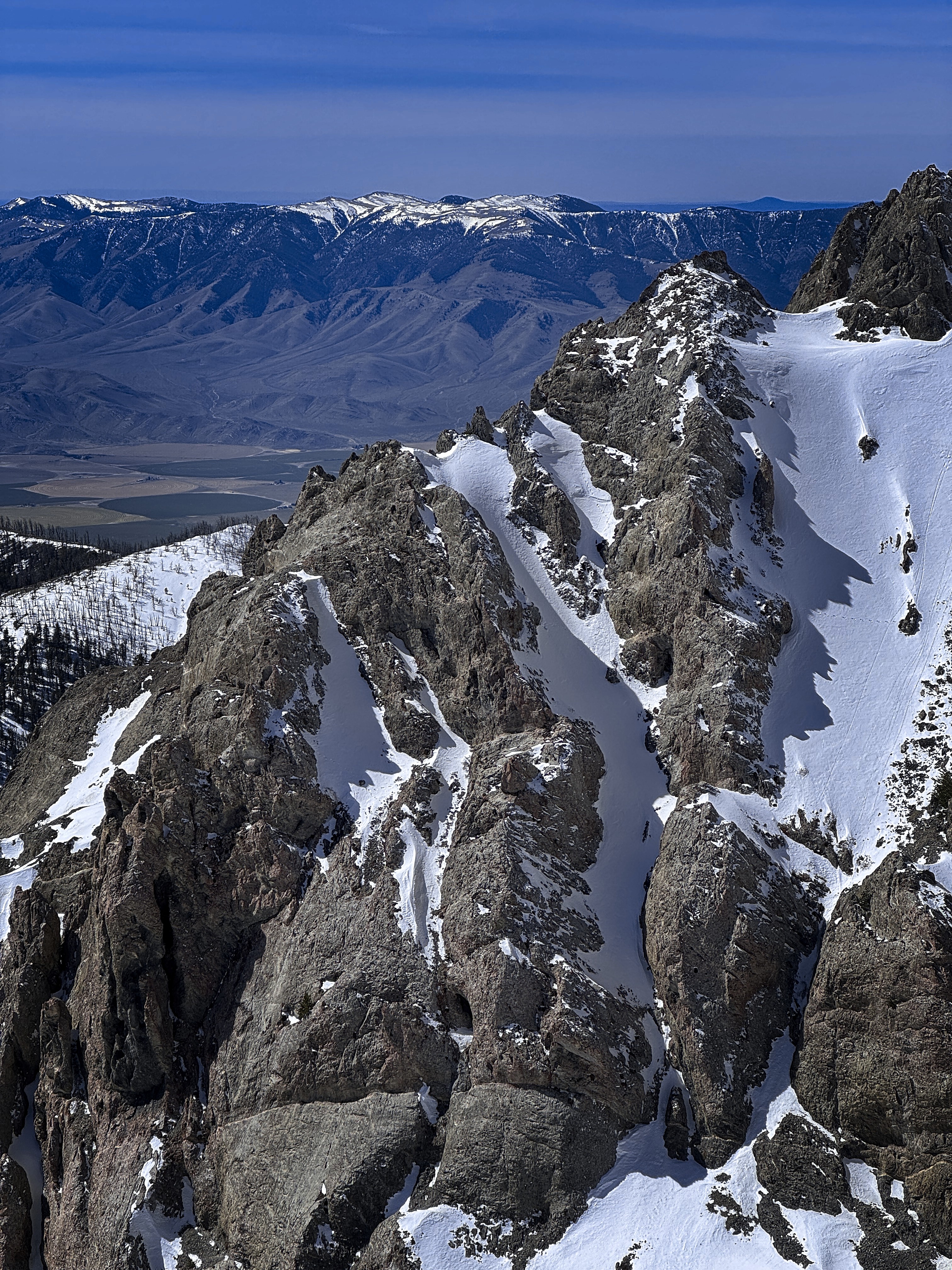
Crags of the high mountain with the Lost River Range behind
More of these interesting crags...
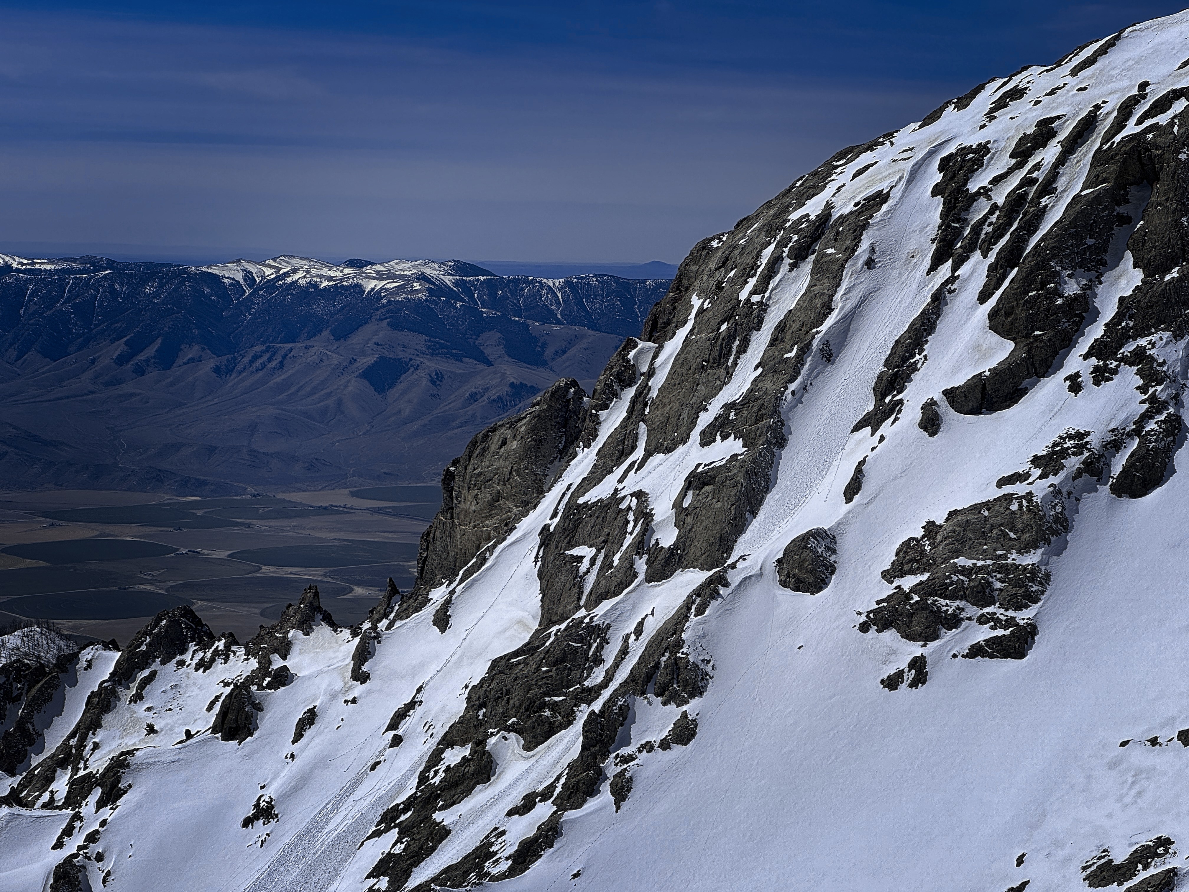
Skiers might find this attractive
The tone for the next hour was set unpleasantly by falling into a snow-hole as I walked confidently over to the rock holding my tennis shoes and water bottle. Oof! I was actually pretty tired. But the real problem was the slick snow covering the frozen trail in steep sections over the next couple of miles. My shoes had no traction, and I'd slip, or strain hard to avoid slipping. Once I had to claw down 15 feet, fingernails scritching into the mix of snow crystals and tiny rocks and dirt. I didn't expect that!
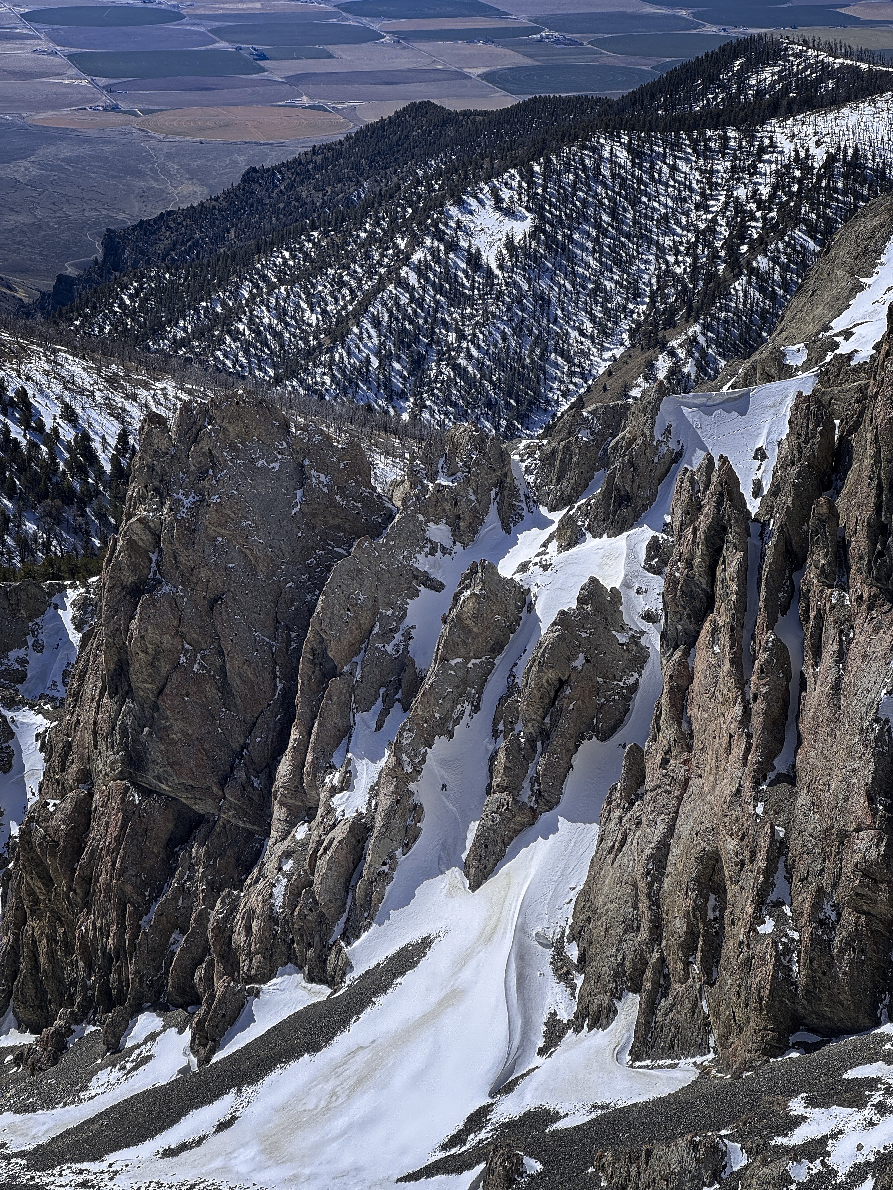
Commerce below, chaos above!
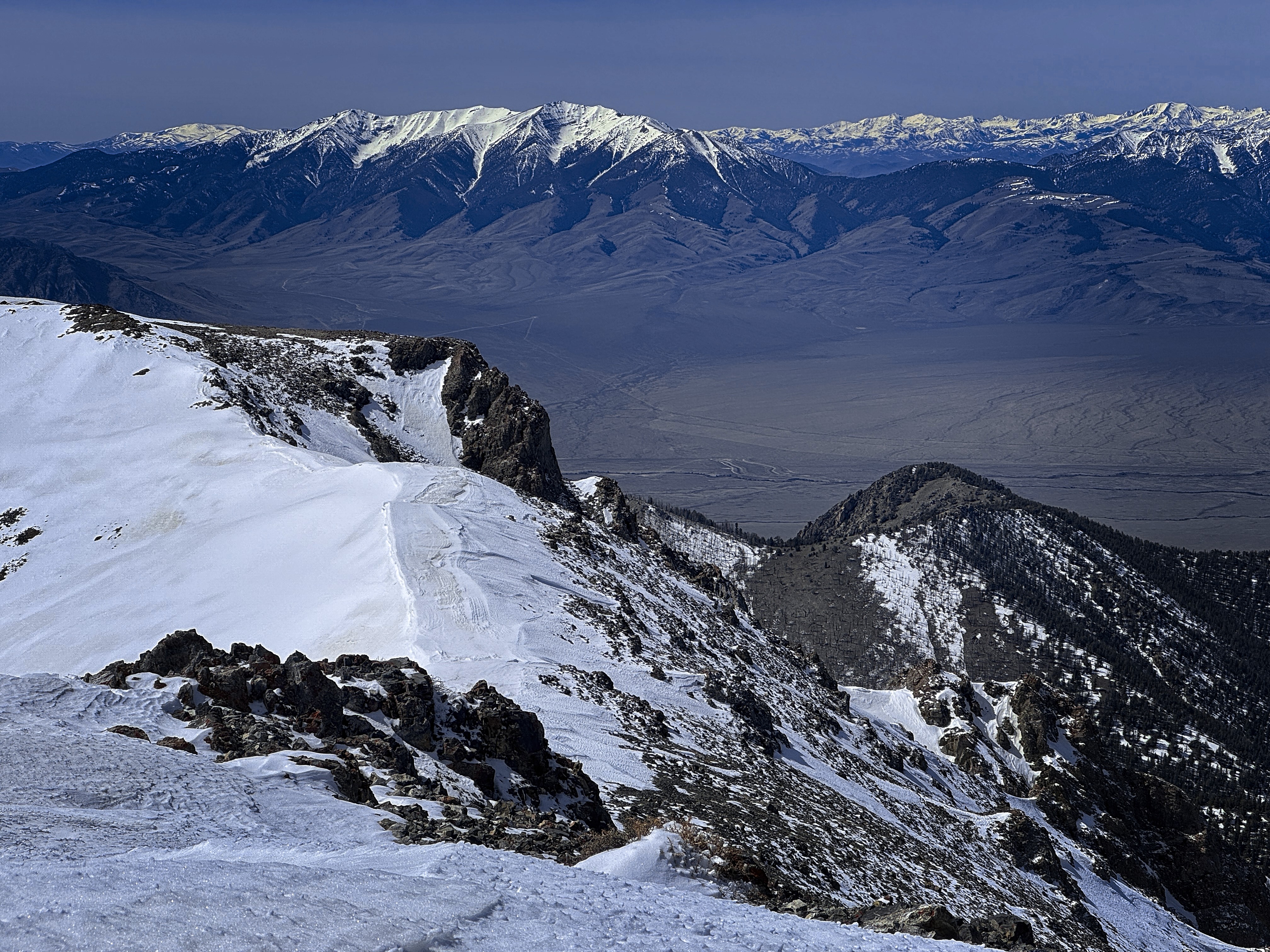
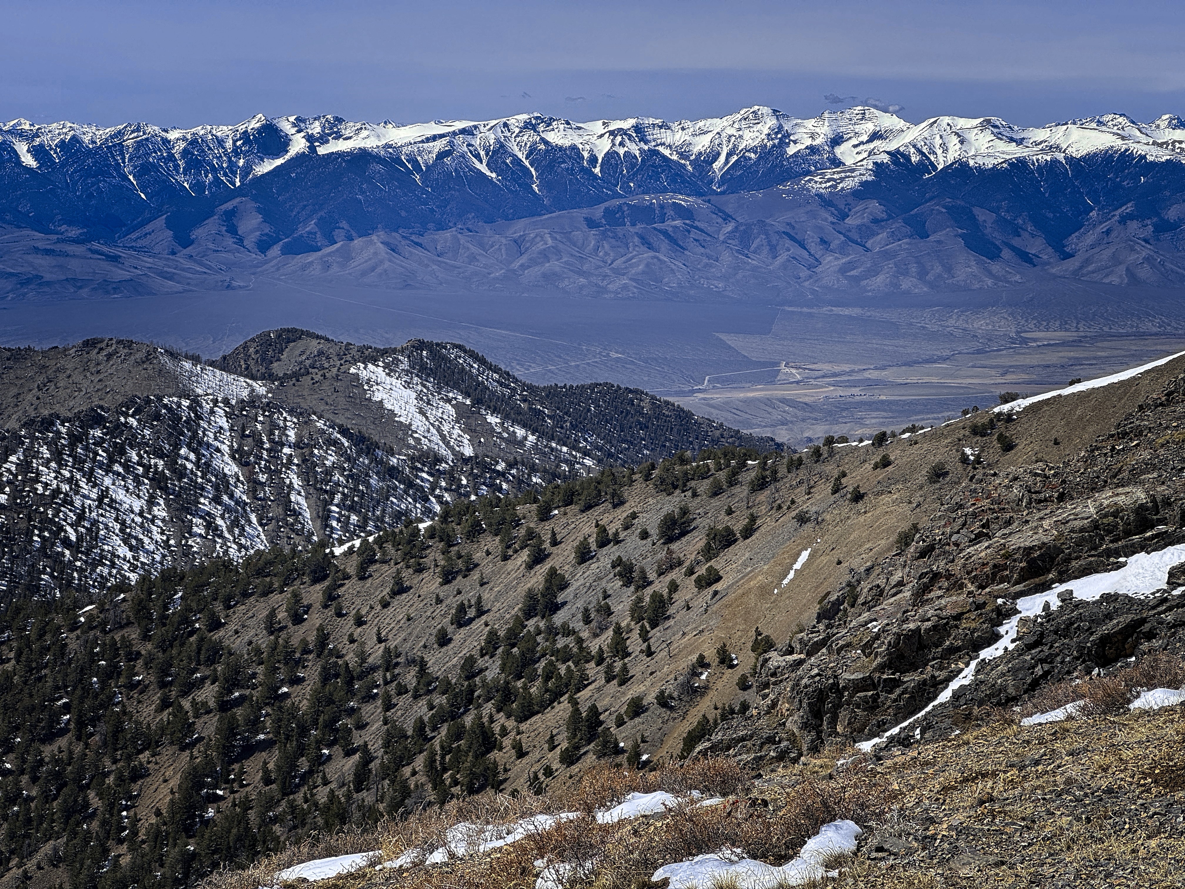
A view west to King Mountain
A view north, with Diamond Peak on the left
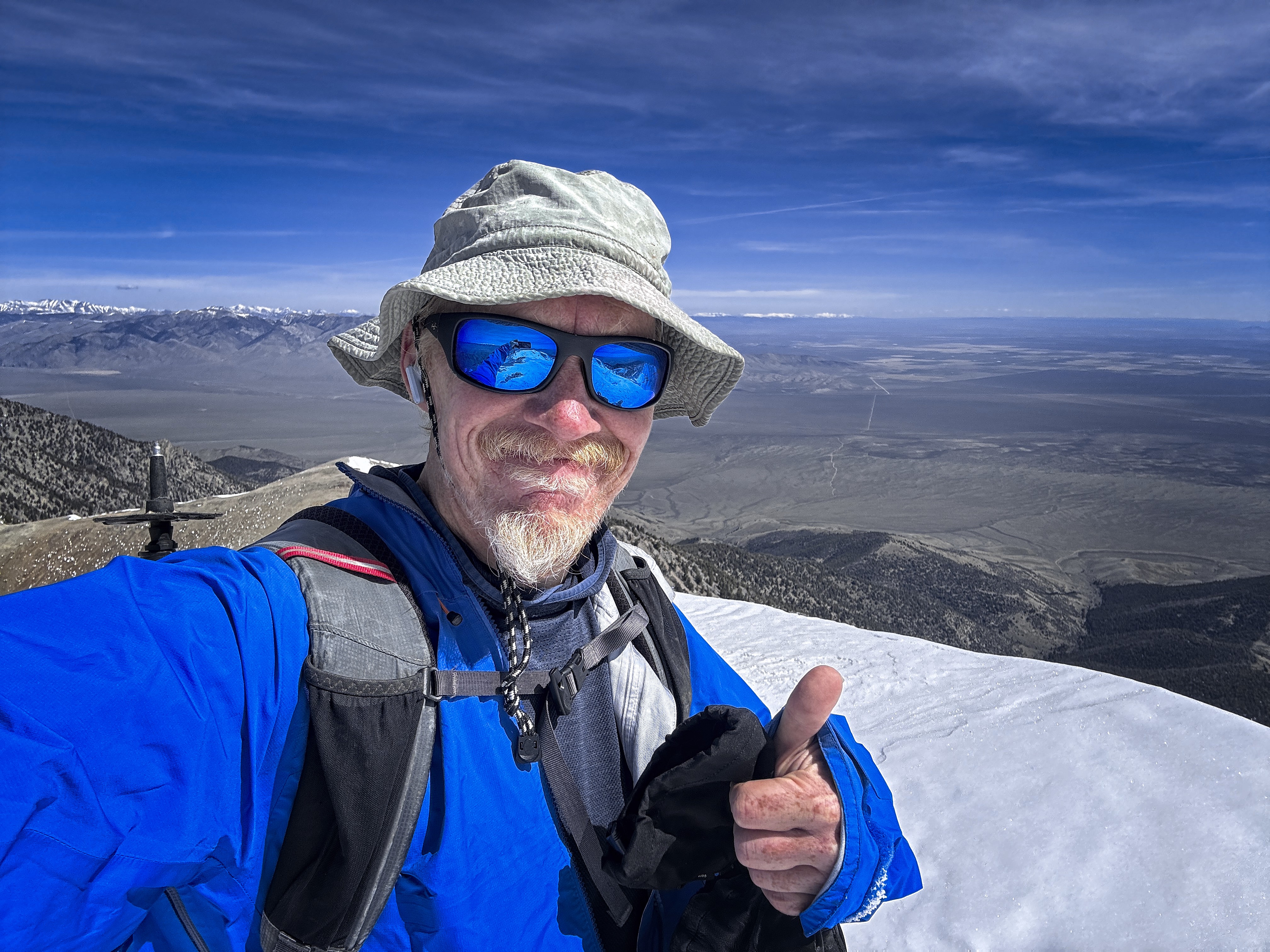
A grizzled denizen of the hills
But eventually I was low enough that the snow became less of a factor, and I could tiredly wade down through the trees and occasionally wrong turns where the canyon broadened temporarily.
Back at the truck I enjoyed a beer (Robert got my started on this fine tradition!), and a cigar, looking up and down canyon. I hadn't seen anyone at all. That's Idaho for ya! Big thanks to the mountain and God for the safe journey up and down.
10 miles, 4900 feet up / down.
Goodbye, High Idaho!