Scott Peak and Huhs Horn
Friends: Only God!Location: Scott Peak, Huhs Horn
Elevation gain: 1450m = 1450m
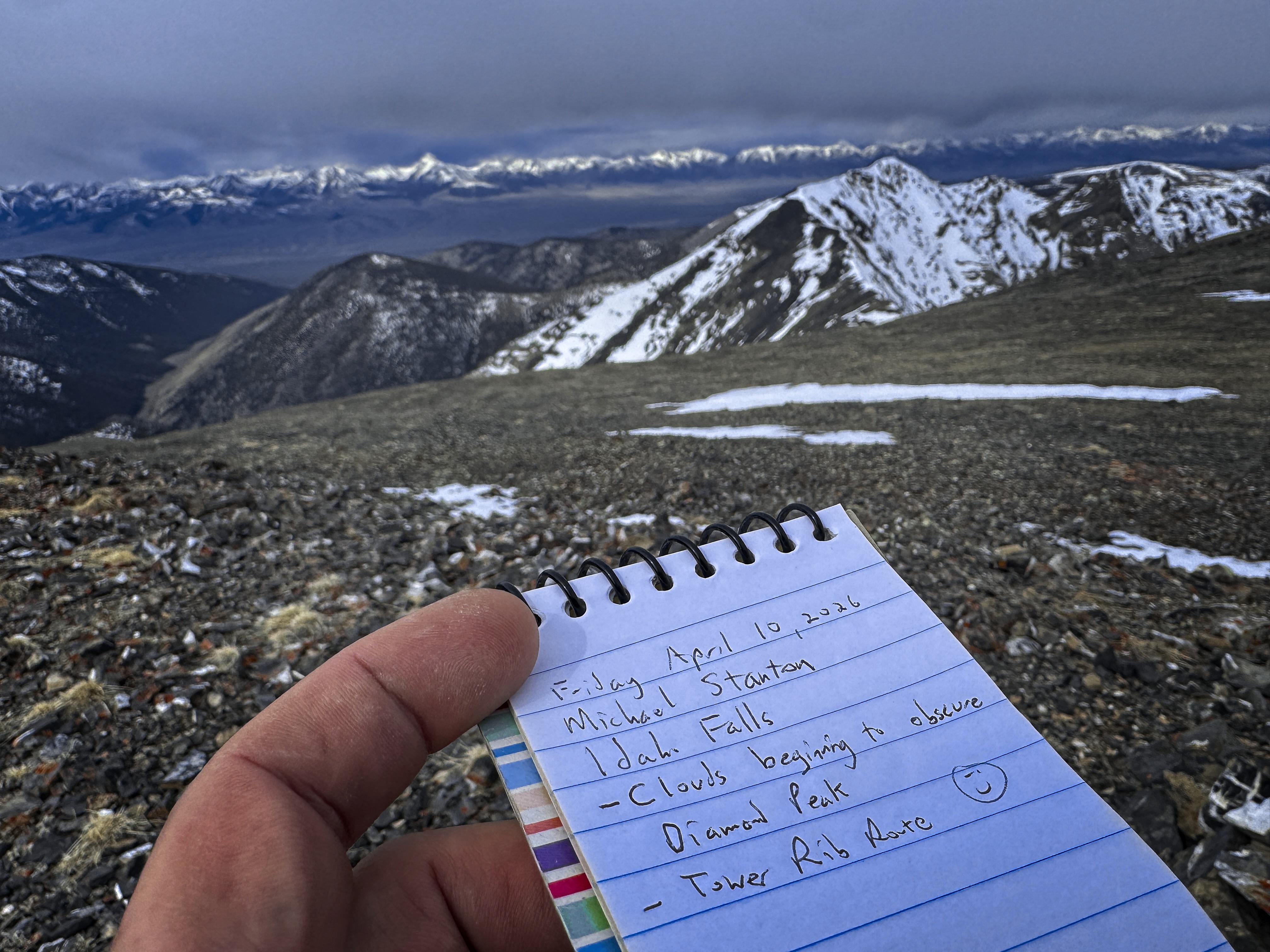
The weather this weekend wasn't predicted to be great, but it seemed that Friday would be good until late in the day. I decided to try climbing Scott Peak via the "Tower Rib" route, as outlined on the Idaho Climbing Guide website.
I drove down in the evening, making for an interesting drive on the dirt roads at night. The directions on the site were perfect, and I was able to park at the official Scott Canyon trailhead. In the cold morning I hiked quickly to warm up, and soon I was looking across at Tower Rib. If there was sufficient snow, I thought I'd just kick steps up the West Face, but alas, there was not! I left the trail, traversing sagebrush mountainside to a little forest, then began following Tower Rib up, easily in open forest. I switched to boots at the highest trees, and soon was traversing on the west side of the lower tower. There was a faint trail, you can just follow your instincts when it occasionally disappears. Such trails look so much more well-defined on the descent!
Huhs Horn above the last bit of track before heading right to Tower Rib
The sun comes over the Webber Peak ridgeline low on the Rib
Huhs Horn from the rib
At the massive second tower, I again traversed on the left, and the bulk of the only-occasionally-unpleasant scree and talus ascent followed. I think I was often to the left of the best line on the way up, which meant more slippery scree. Eventually I stuck to the top of the rib proper, and enjoyed the rare climbing move at short, vertical steps. Fantastic views all the way up, especially of the cliffs of the South Ridge of Huhs Horn (aka Peak 11292).
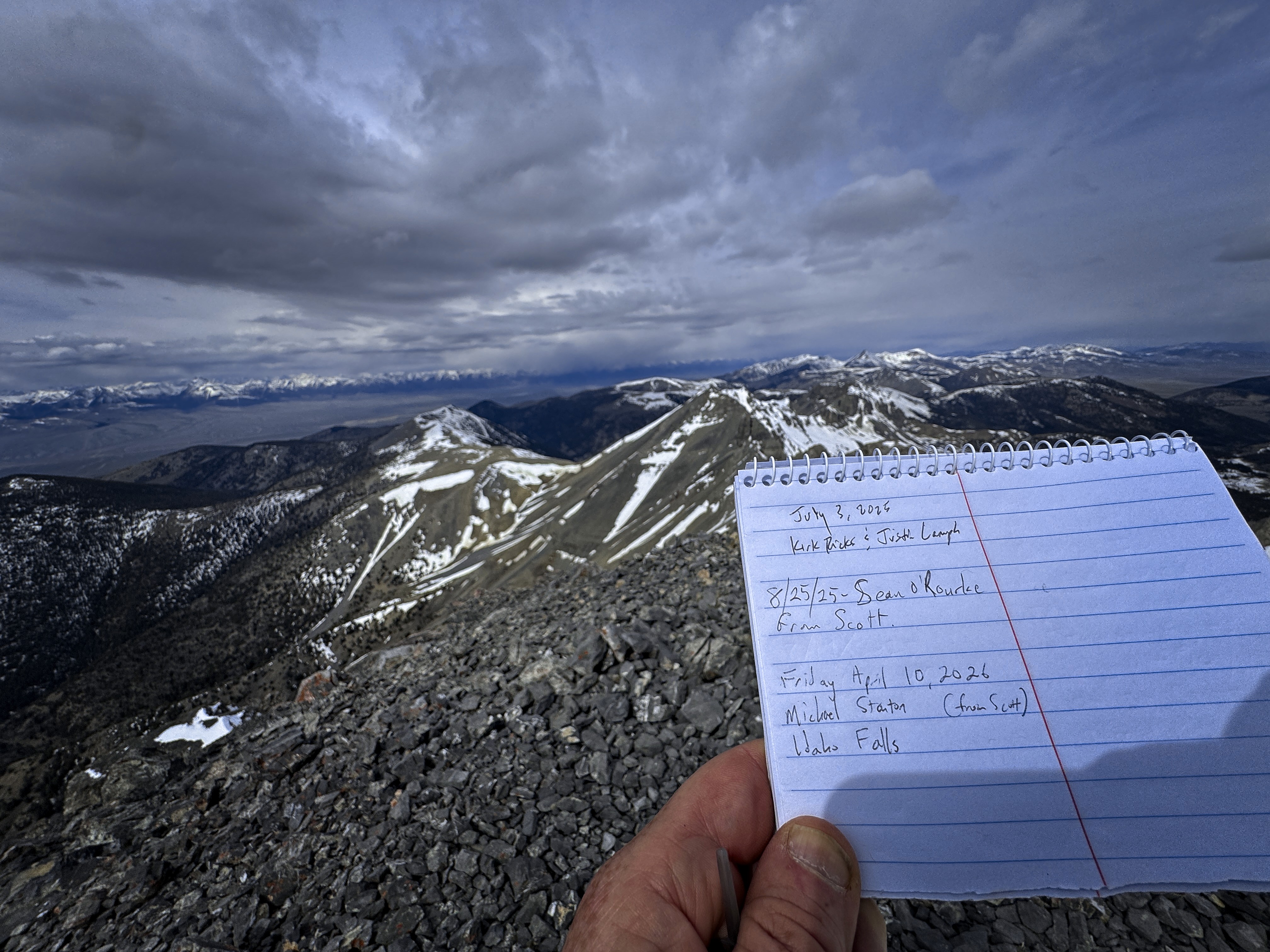
Rather suddenly, it seemed, I was at the ridge crest. I turned left and marched to the summit on snow and rock. I was the first to sign the register since last year. Being careful of the cornice, I could look down east into the Webber Creek valley. I could also see the weather coming in from the West. Diamond Peak looked amazing, though clouds were beginning to cover it. It seemed I should have just enough time to visit Huhs Horn and come back.
Undaunted by scree, I enjoy second breakfast
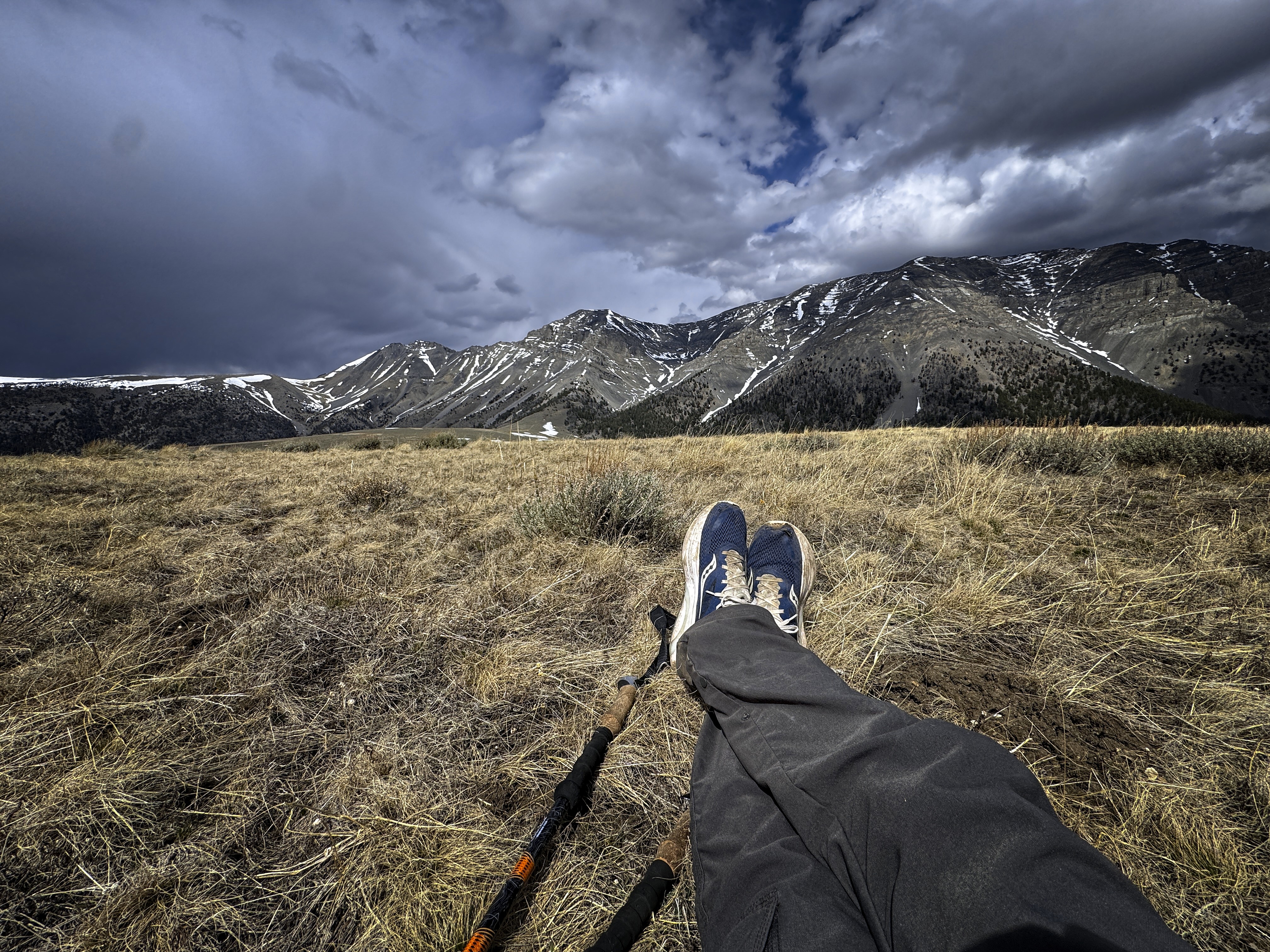
Catching up on news on the broad summit of Scotts Peak
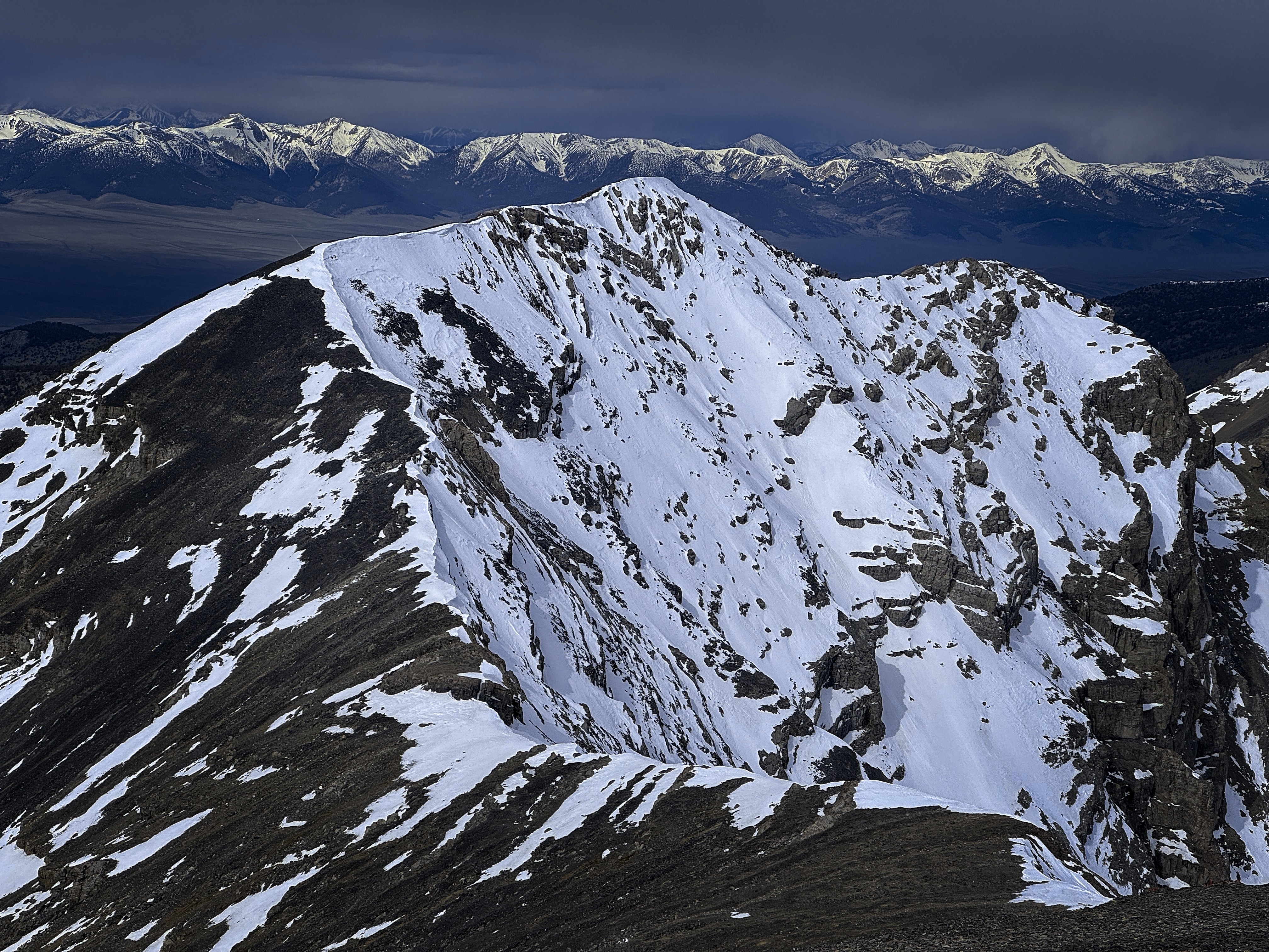
Huhs Horn, looking majestical
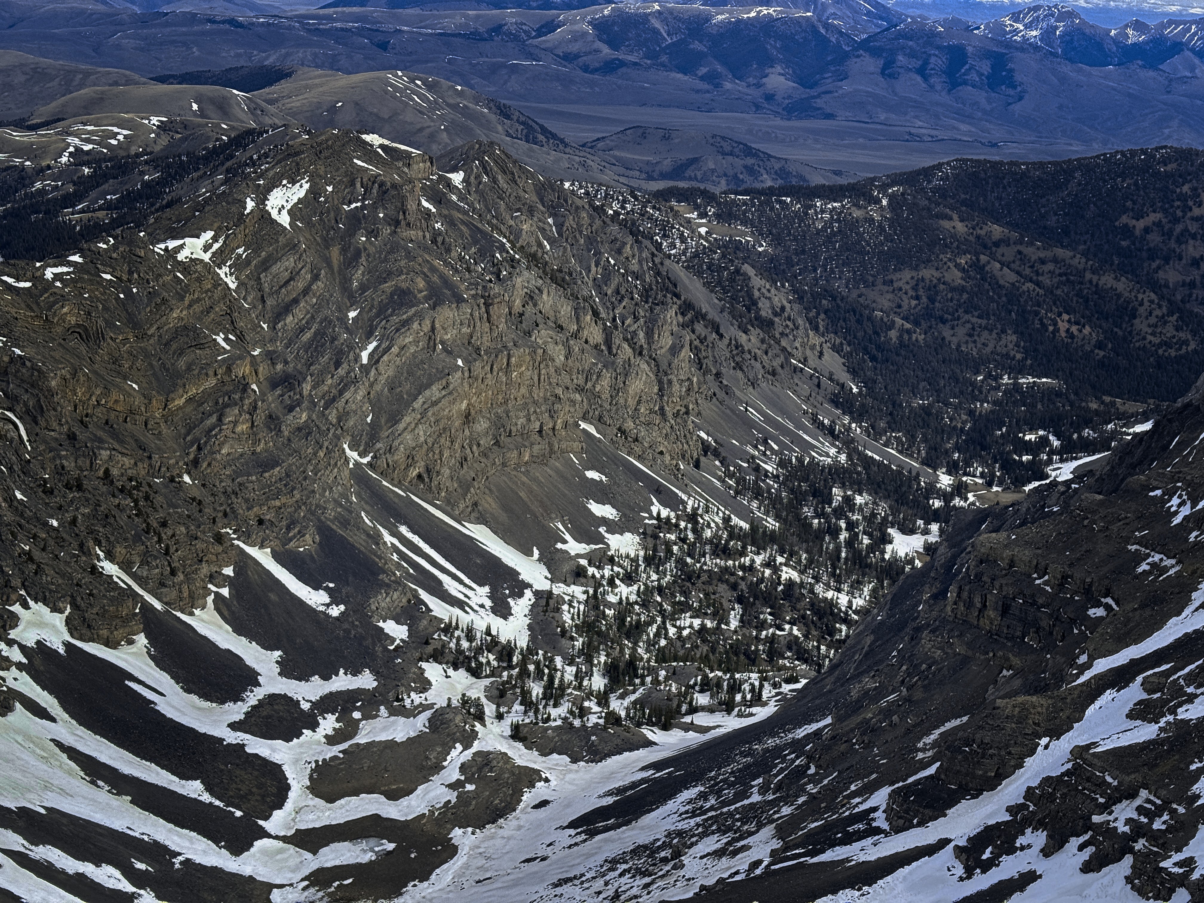
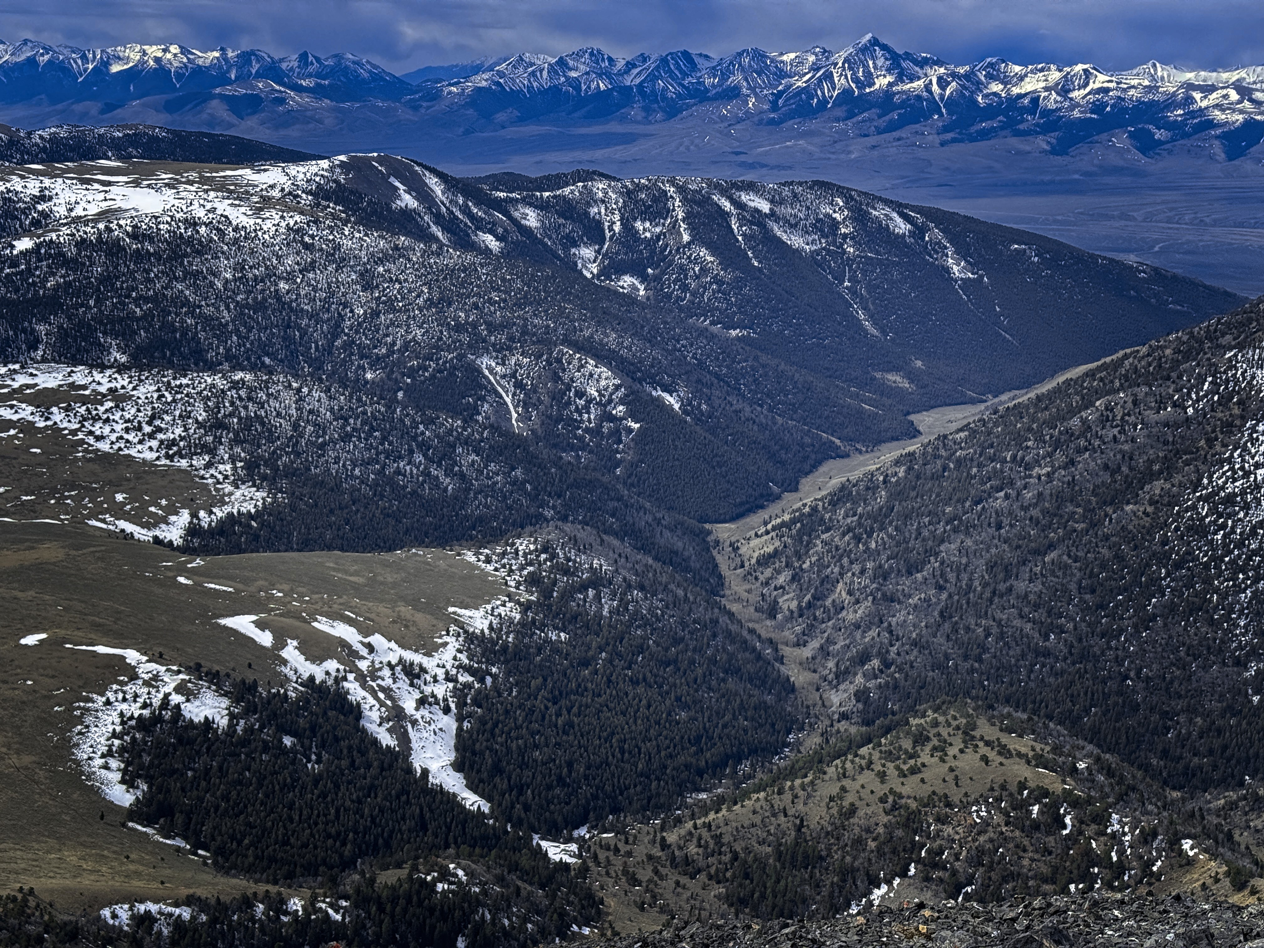
Looking down in the North Fork of Webber Creek
I went easily down to the saddle between the peaks, and because the ridge was snowier and steeper going up, I put on micro-spikes and got out my ice axe. As seems to be the case quite often, there was one place where I was glad for this equipment -- a short but steep icy slope that couldn't be avoided just below the mostly-level summit ridge.
To the north was the Continental Divide Trail, in the region I'd avoided by taking the Big Sky Cutoff. For shame! What demon of efficiency had compelled me? I felt like the boosters of AI, proud of their creations that weren't really theirs, having avoided "work" but not the urge to take pride in it. It is intolerable that this Montana/Idaho segment is unwalked. Hmpf! I will repair my error.
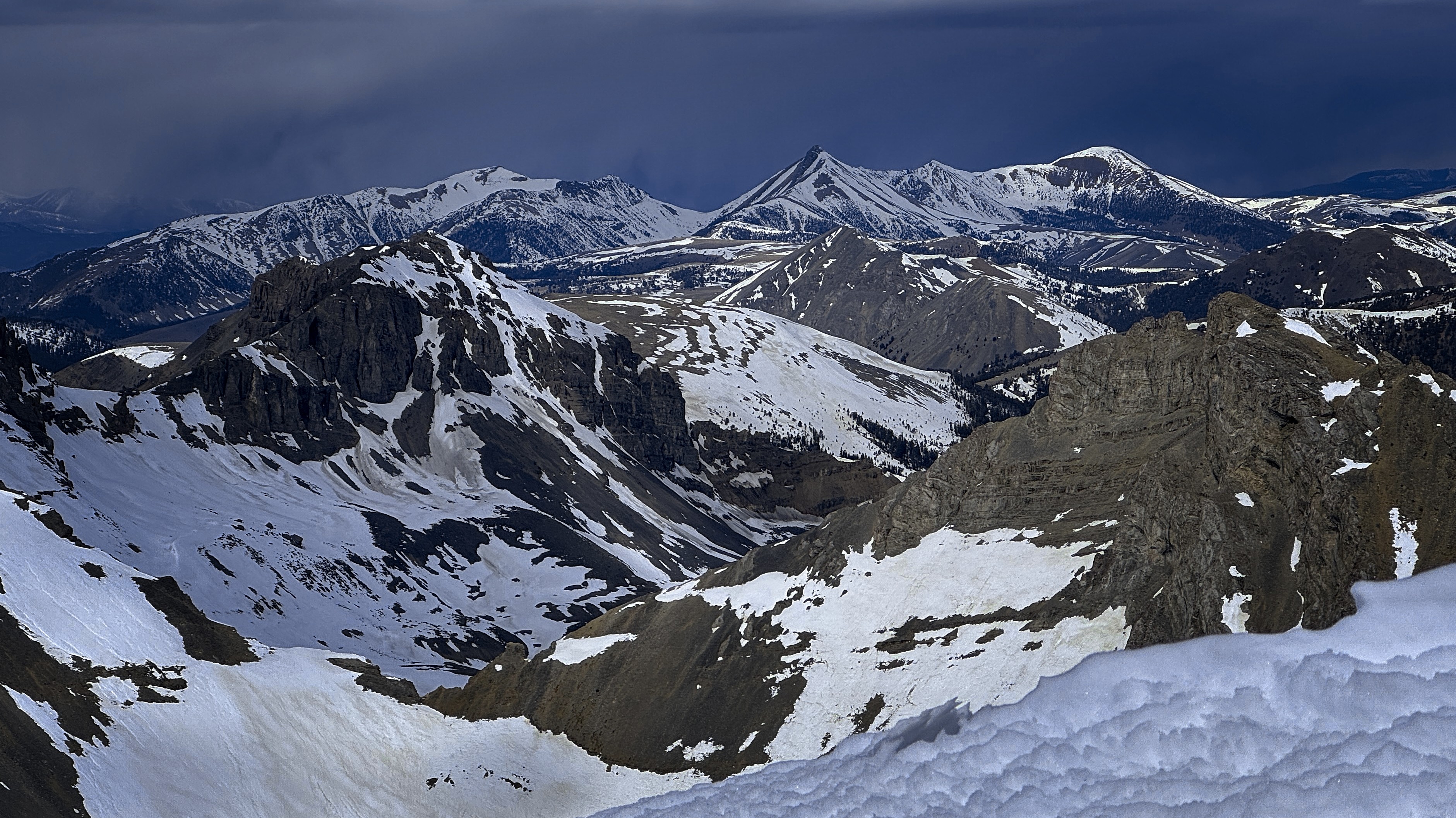
Looking north to the Italian Peaks and the CDT
The summit of Huhs Horn
A picture of my truck in Scotts Canyon
North country, bits of Montana in this
Turning my now-reddened face back to the west, the clouds were putting on a show. Veils of curving dark gray cloud alternated with diamond-clear visions of distant peaks. "Cloudbound, whereabouts unknown," I said to the listening snows. I listened to this beautiful recording of Olafur Arnalds and his band live on a volcanic plain in Iceland (link), and that music fit the scene very well.
Back on the summit of Scotts Peak, it was snowing. And then the sun came out again, and again it snowed. I romped down Tower Rib, enjoying the game of seeing if I could remember my line exactly. It's so broad in the upper part that you could be in a very different area without trouble. I descended a cliff and found a key passage where I slipped between the cliff wall and a large boulder on the way up. Good instincts, I thought! I couldn't resist making a little cairn here.
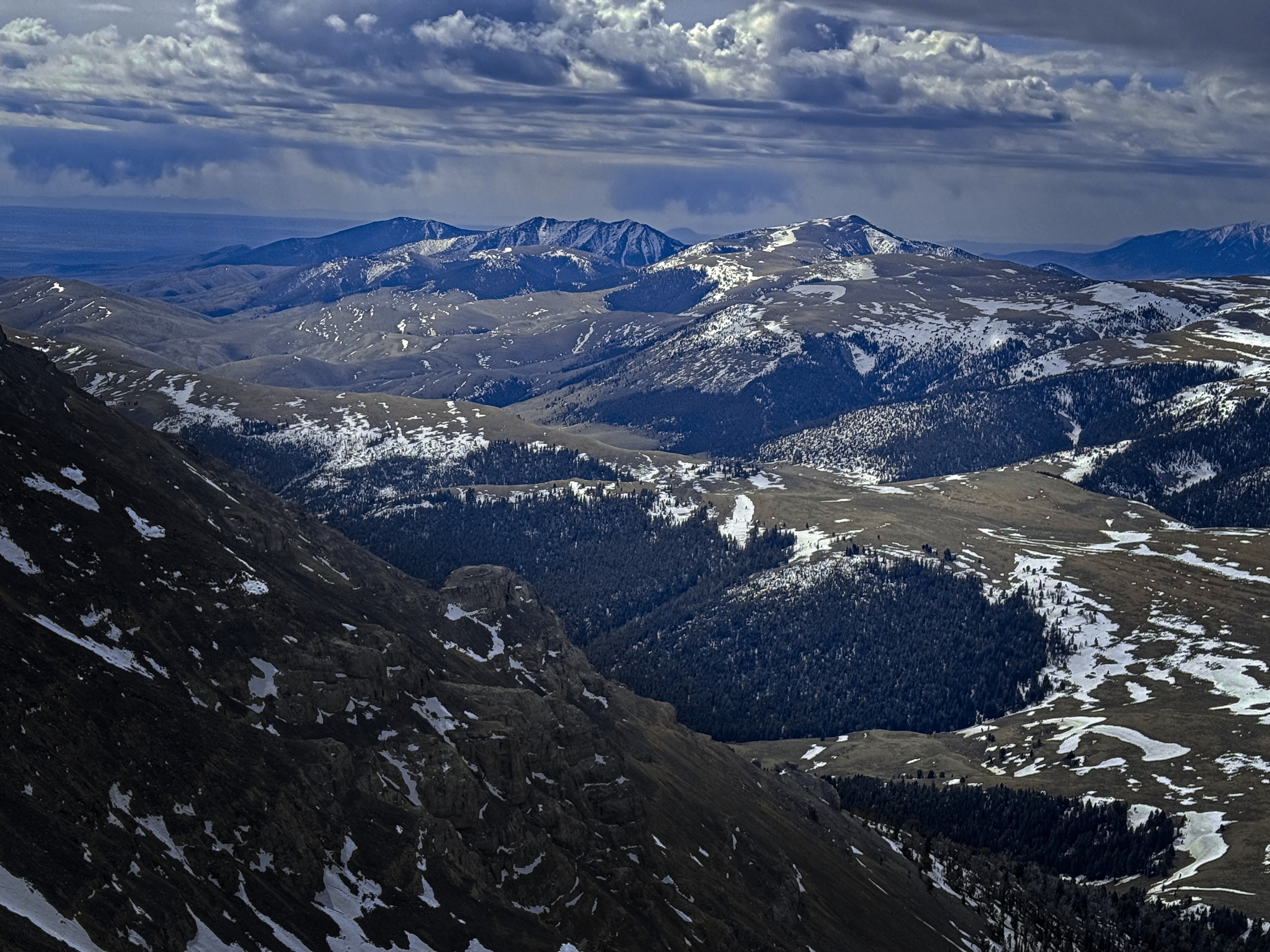
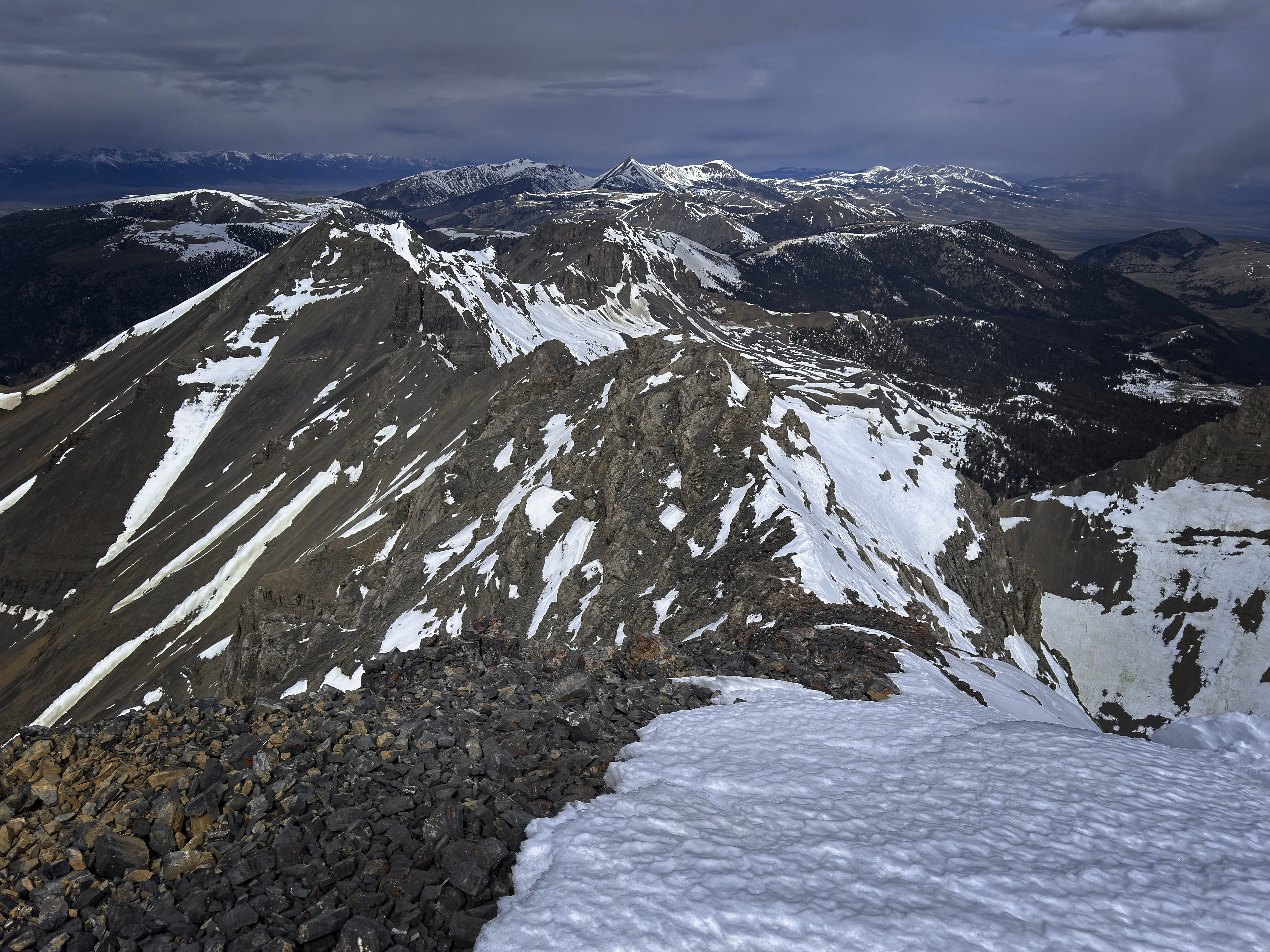
The Beaverheads, stretching away south
Rain bands over Webber Peak
Interesting cliffs down in Webber Creek
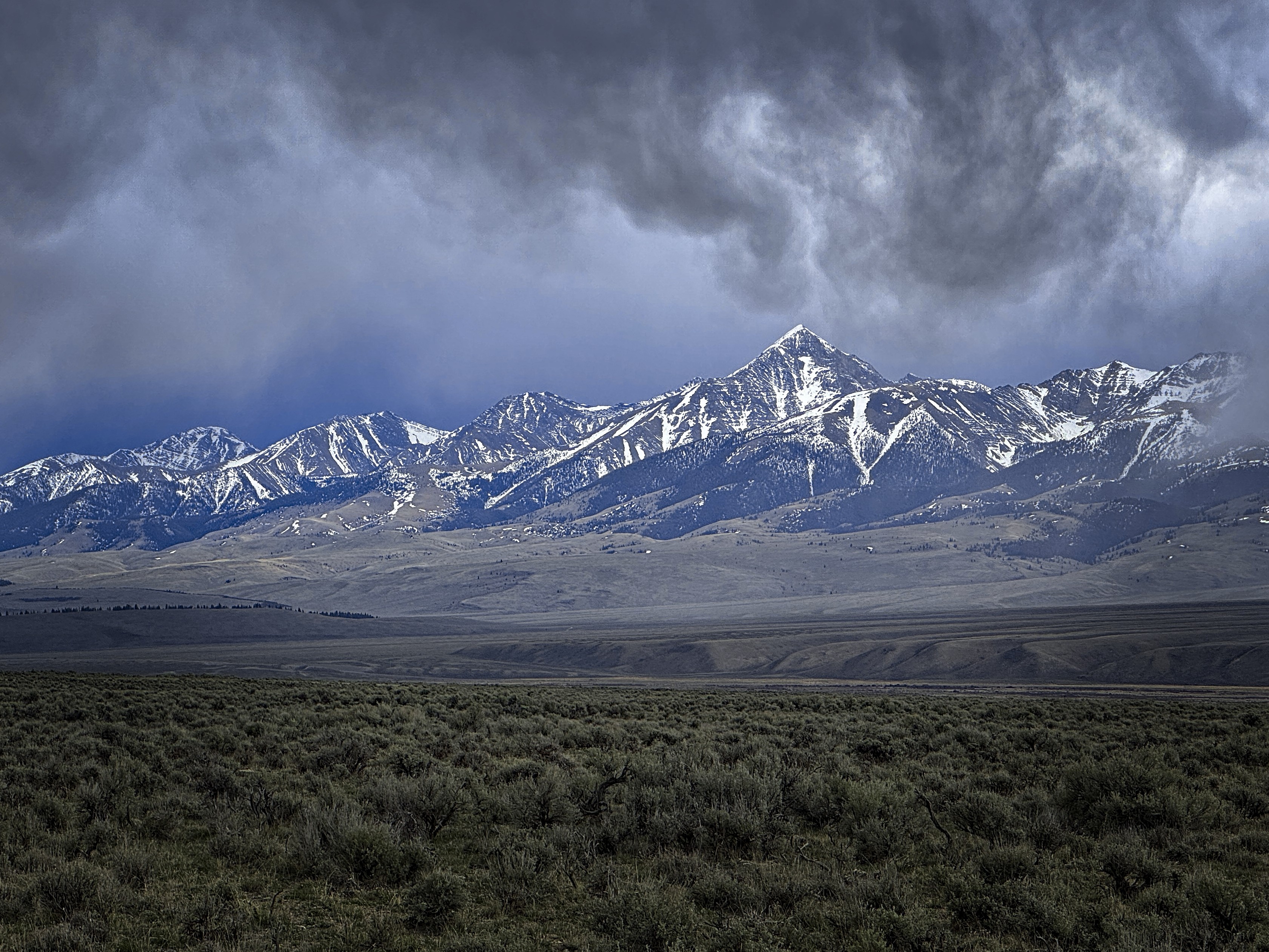
Huhs Horn and weather
Below the second tower the distance to the first tower was longer than I remembered, and the trail disappears here and there. Don't go too far straight down, though you'll be lured by easy plunge stepping in vertical runnels of dirt. You'll have to pay for that with traverses to the south, though I suppose a body could leave the rib at this point and just go down the great couloir.
Once back to the trail, I decided to head south along the broad, grassy Beaverhead crest for a couple of miles and then turn down a valley to reach the trailhead from the east instead of the north. Sun and cloud alternated beautifully. I saw a whitetail deer running in the grass, or maybe it was an elk? Turning into the valley, I'd have a gap with no trail between the high country and a trail in the narrow valley. This was only a little bit tricky, with deep and rotten snowpatches, steep forest, and the need to avoid rocky outcrops. Elk tracks helped me out.
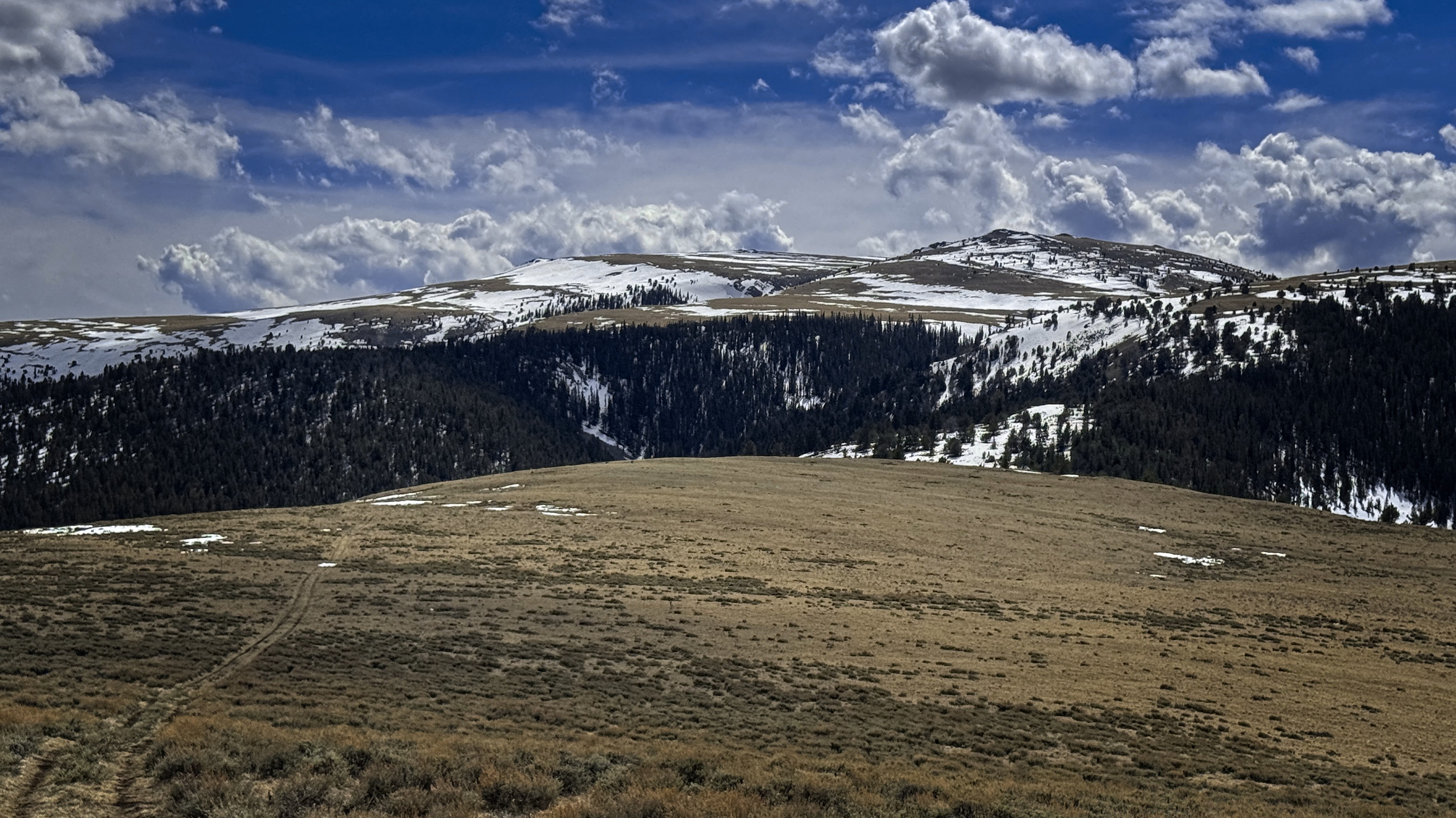
I've just got to walk across some of that plateau
A last goodbye to the crest country
A look to Diamond Peak from the upper tower
A nice day out on the moors
Once in the valley, the first half-mile of descent was marked by knee-deep snow that was simply no fun! I started traversing boulderfields to avoid it. One of my shoes had given up the ghost, and became filled with snow through a rip in the side. Eventually the snow diminished but it was funny that this canyon below 8000 feet had more snow than anywhere else on the trip!
At the trailhead I chatted with a couple of guys coming back from a trip with 4-wheelers. Really nice folks.
I'd make a jigsaw puzzle out of this view!
Time for lunch
Wouldn't you just keep walking into that if you could?
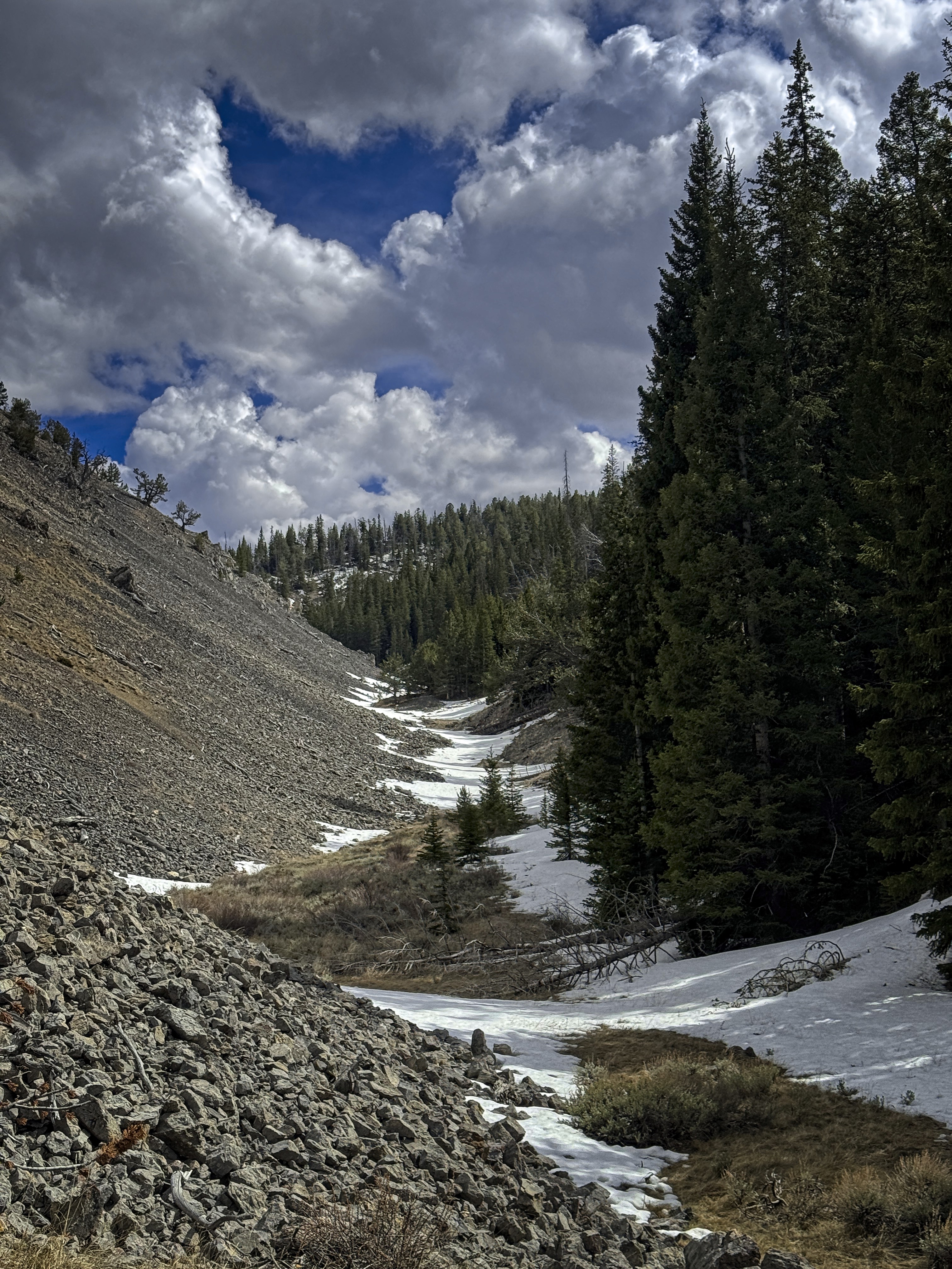
An inviting valley to ascend
Diamond Peak from the tilted sagebrush plain
Thank you mountains, thank you Father. A good day!
4700 feet up/down, 11.3 miles.